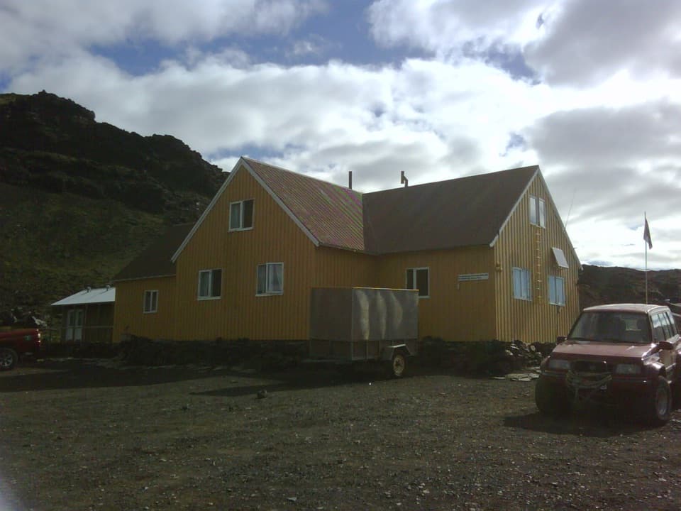
Parking
Start and finish at Sigurðarskáli hut, the park-listed trailhead and area parking access. Capacity and facilities are not documented.
Vatnajökull National Park
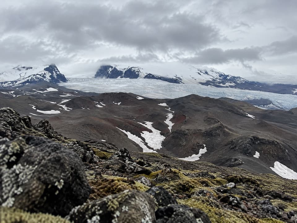
A challenging loop to Biskupsfell with views across Kverkfjöll’s ice.
Overview
Map & elevation
Plan your hike

The highest, rockiest slopes around here are a summer buffet for grizzly bears.
Vatnajökull Tour Guide
Parkwolf is a GPS audio tour guide for Vatnajökull National Park. As you drive, it chimes in with what’s ahead: hidden gems, upcoming stops, history, geology, and wildlife, right through your car’s speakers.
Recorded for this trailhead
Sigurðarskáli: A Base for Kverkfjöll“Sigurðarskáli is coming up, the mountain hut and campground that make a base for exploring Kverkfjöll. The hut has sleeping-bag accommodation, gas burners and cookware, so plan to bring food and cook for yourself.”
Plays as you drive up to this trailhead in the Parkwolf Vatnajökull Tour Guide.
More stories near here in the app
“Fantastic app with many points of information… It’s great to just turn on while you’re driving and it gives you an audio tour of the national Park. We love it!!!!”


Trail guide
K4 is a 9 km (5.6 mi) circuit from Sigurðarskáli hut around Biskupsfell, and the park lists 510 m of elevation. It rates the route challenging and gives a four-to-five-hour time. Choose it for a substantial mountain walk in Kverkfjöll, not a quick stop: the climbing is a big part of the commitment.
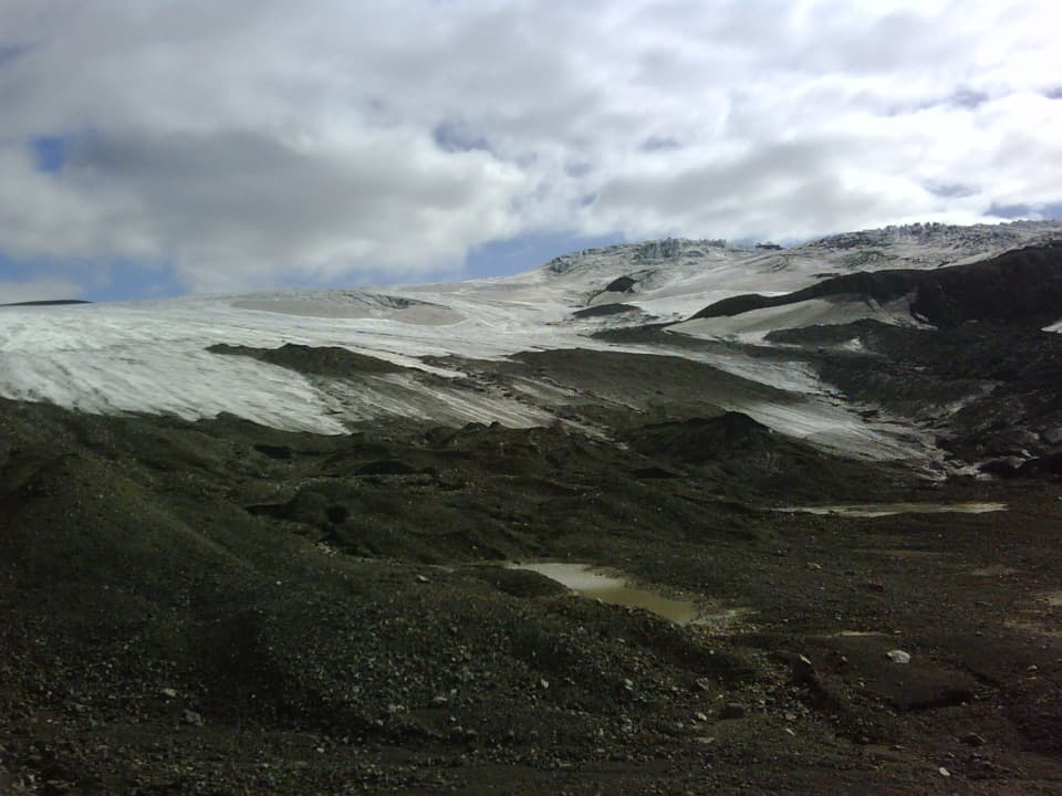
The park describes the route for its lava formations and views. Its linked route file circles through Biskupsfell country and returns to the hut along a different leg. From Biskupsfell, the view runs across dark, broken volcanic slopes toward the ice and peaks of Kverkfjöll. Leave some dark rock in the bottom of a photo; it gives the glacier scale against the high ground.
Begin and finish at Sigurðarskáli hut, the listed start and the area’s parking access. Parking capacity and trailhead facilities aren’t documented. The park’s short description doesn’t spell out the exact tread, junctions or dog rule, so check its current route information before setting out if route-finding or pet access matters to you.
Wildlife
 23 sightingsGrey SealMost seen around 5 AMSighting map
 260 sightingsHarbor SealMost seen around 11 AMSighting map
 184 sightingsCaribouMost seen around 7 PMSighting map
 62 sightingsArctic FoxMost seen around 8 PMSighting map
 169 sightingsWhooper SwanMost seen around 5 PMSighting map
 68 sightingsAtlantic PuffinMost seen around 7 PMSighting map
Sighting maps show where each species has been reported across Vatnajökull. Wildlife moves, so no sighting is guaranteed.
Keep exploring
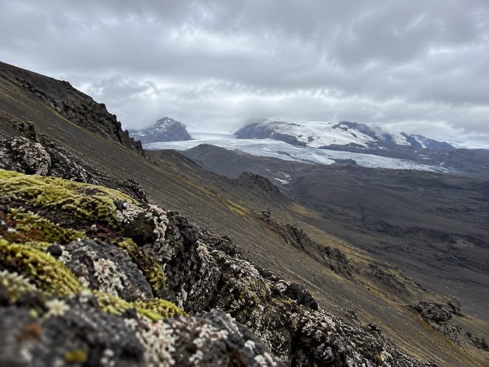 ChallengingSigurðarskáli Hut – Virkisfell Trail2.1 km · 1.5 hr · At the trailheadA short, steep climb for glacier, highland, and lava views.
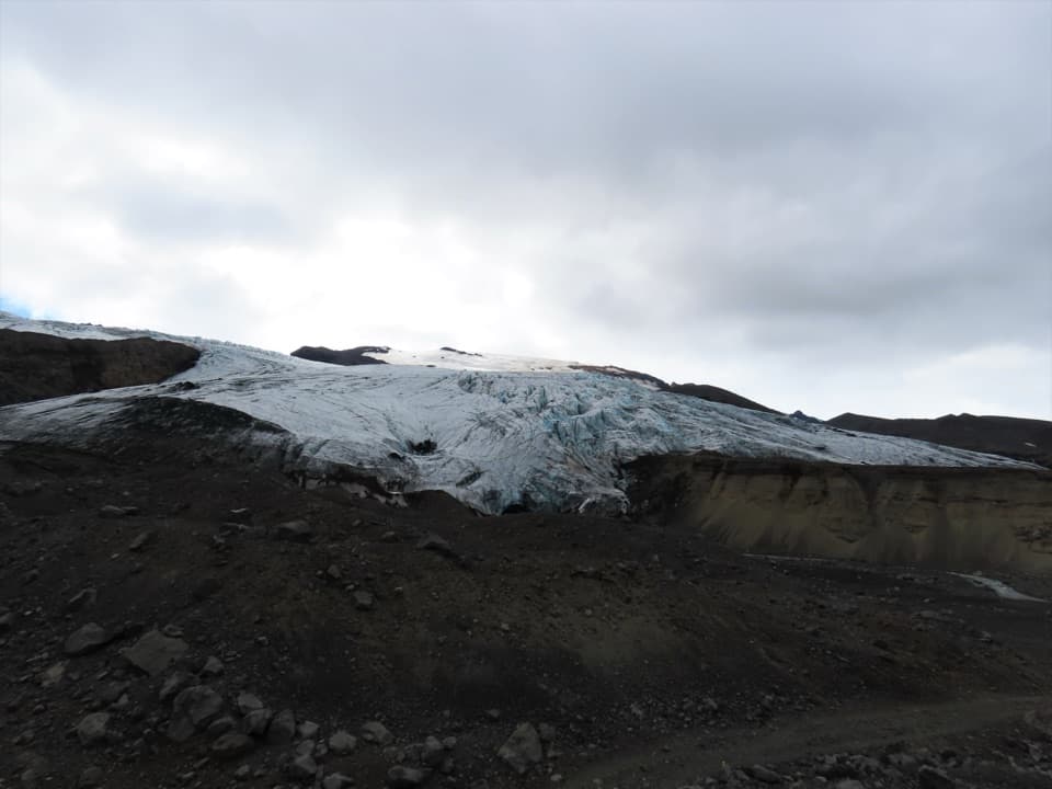 ChallengingSigurðarskáli Hut–Kverkjökull (K2)9.5 km · 5 hr · At the trailheadA rough highland approach to Kverkjökull’s glacier-side parking area.
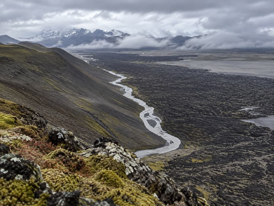 ModerateKreppuþröng3 km · 2 hr · 20.9 km awayA short loop to where the Kreppa squeezes through a gorge.
Parkwolf’s Vatnajökull ranking

The audio tour guide for the drive, plus offline maps, trails, and wildlife heatmaps for when the signal drops.