Langisjór in Vatnajökull National Park

Sight · Vatnajökull National Park

Langisjór

Remote turquoise highland lake with big views and deep solitude

Type
Sight
  • Trailhead
  • Restrooms
  • Parking
  • Scenic viewpoint
  • #21 of 50 sights
Parkwolf audio tour102 stories across Vatnajökull’s roads

Overview

About Langisjór

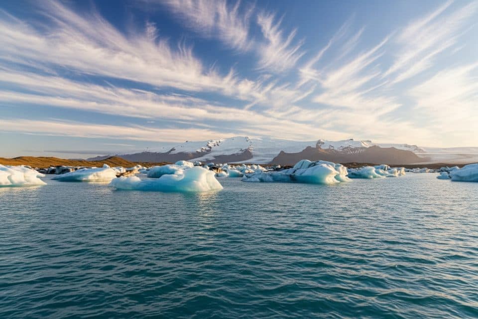
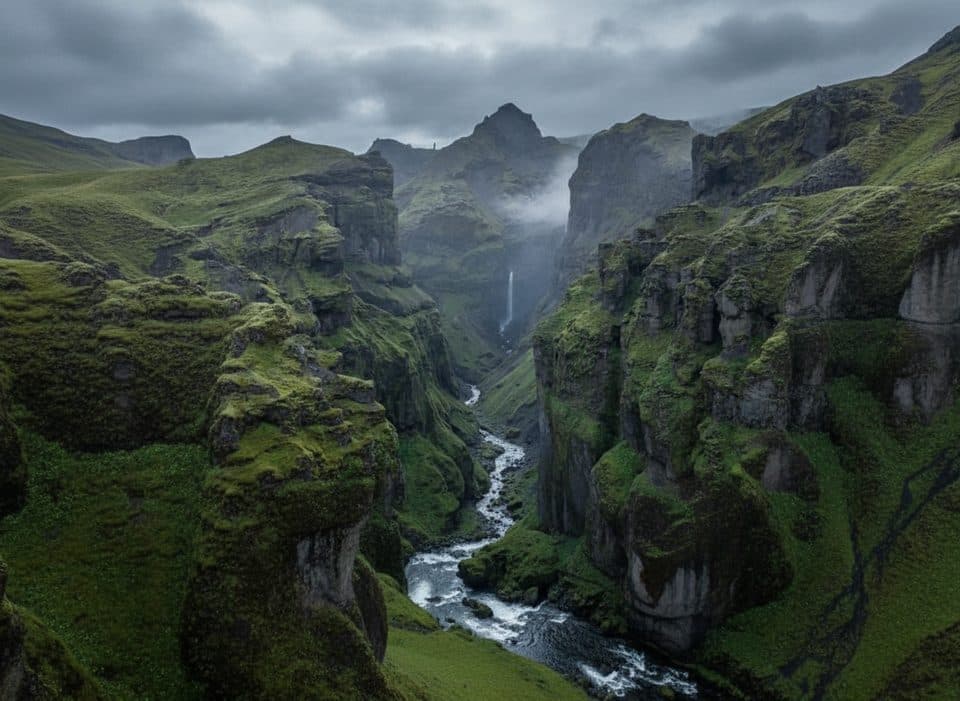
Langisjór is a pristine, remote highland lake carved into black sand deserts and mossy ridges, with big sky views toward the Vatnajökull ice cap. It’s large and dramatic—about 20 km long, around 27 km² in area, and up to 74 m deep—yet blissfully uncrowded compared to the park’s coastal hotspots.

Pair it with Eldgjá canyon and Ófærufoss on the same day if you’ve got the time and a proper 4x4. The vibe here is stark beauty and silence; the drive and the destination are equally memorable.

Why stop

  • Signature viewpoint hike up Sveinstindur with sweeping panoramas
  • Quiet highland campground with flush toilets and running water

Heads up

  • 4x4-only access with river crossings on summer F-roads
  • No services nearby; you must be fully self-sufficient

Map

Where it is

Loading the Vatnajökull map
Full map
SightLangisjór64.21544, -18.21839
Keep this map with you offline in the Parkwolf app

Local know-how

Tips for visiting Langisjór

  1. Use F235 for the most straightforward approach when roads are open.

  2. Fuel up and stock groceries in Kirkjubæjarklaustur before leaving pavement.

  3. Start the Sveinstindur hike early for calmer winds and better light.

  4. If you plan to fish, confirm season dates and secure the proper license.

  5. Travel with another 4x4 for river fords if you’re inexperienced.

Plan your stop

Before you go

Best time to visit

Highlands season runs roughly late June to early September. The sweet spot is often late June to early July when F-roads open and winds can be milder; August sees the most traffic, and September can be wetter with trickier rivers. For photography, aim for early or late light. Weekdays typically mean fewer vehicles on the tracks.

Getting There

Access is by summer-only F-roads. A true 4x4 is required due to gravel, remoteness, and unbridged fords. The least problematic approach is typically via F208 and F235 when roads open for the season. There are no services in the Highlands—fill your tank, stock up on food and water, and check conditions at the Skaftárstofa visitor center in Kirkjubæjarklaustur before heading out. There are no scheduled buses; this is a self-drive destination (private super-jeep arrangements are possible).

1 active Vatnajökull alert

  • ClosureFosshvammur permanently closed at DettifossFosshvammur at Dettifoss is permanently closed to all traffic; do not enter.Official details
Vatnajökull alerts
A park ranger sits on a dash-mounted phone, talking, as Parkwolf’s Tour Guide plays “Army Cutworm Moths: A Grizzly Bear Buffet” on Grand Loop Road below Dunraven Pass in Yellowstone
Parkwolf Tour GuideThe highest, rockiest slopes around here are a summer buffet for grizzly bears.

Vatnajökull Tour Guide

Your drive to Langisjór, narrated.

Parkwolf is a GPS audio tour guide for Vatnajökull National Park. As you drive, it chimes in with what’s ahead: hidden gems, upcoming stops, history, geology, and wildlife, right through your car’s speakers.

  • 102 audio storiesacross Vatnajökull’s roads, triggered by GPS as you drive
  • Wildlife heatmapsfor Grey Seal, Harbor Seal, Caribou, and 13 more
  • Works offlinemaps, 16 trails, 72 places, and audio download before you lose signal
  • CarPlay readysimple controls built for the drive
★★★★★
“Fantastic app with many points of information… It’s great to just turn on while you’re driving and it gives you an audio tour of the national Park. We love it!!!!”
JMJamesApp Store review
Download Parkwolf on the App StoreGet Parkwolf on Google Play

4.7 from 8,600+ ratings

Guide

More about Langisjór

Hiking HighlightsSveinstindur summit: a well-marked, moderate climb from near the lake (roughly 4 km…
  • Sveinstindur summit: a well-marked, moderate climb from near the lake (roughly 4 km out-and-back) to a signature lookout over Langisjór and surrounding volcanic landscapes.
  • Shoreline and hill rambles: easy-to-moderate paths trace parts of the lake’s edge and nearby hills for constant views.
  • Multi-day traverse: a 2–3 day route links the Langisjór area with Eldgjá via Uxatindar/Skælingar, with huts along the way—book ahead.
Facilities & CampingAt the south end, a simple Vatnajökull National Park campground offers flush toilets and…

At the south end, a simple Vatnajökull National Park campground offers flush toilets and running water, and it’s typically staffed by a seasonal warden during the day. You’ll find designated parking areas by the lake and at the campsite/trailhead zone. Otherwise, facilities are minimal—plan to be self-reliant.

ActivitiesHiking for viewpoints and shoreline scenery is the main draw.
  • Hiking for viewpoints and shoreline scenery is the main draw.
  • Fishing: the lake is known for char; the season generally runs July 6–September 30, and specific baits (flies, worms, spinners) are permitted with the appropriate license.
  • Kayaking is possible on the lake in calm conditions for those equipped and experienced.
Safety & NotesCheck weather and F-road status on the day, and never ford rivers without a suitable 4x4.

Check weather and F-road status on the day, and never ford rivers without a suitable 4x4. If you’re new to fording, consider traveling with another vehicle. Carry paper maps/GPS, extra layers, food, and a communication plan—the Highlands can change from benign to brutal quickly. Glacier activities elsewhere in the park require licensed guides, but Langisjór itself is about scenic driving, hiking, and quiet time by the water.

Wildlife

Wildlife in Vatnajökull

All Vatnajökull wildlife maps

Sighting maps show where each species has been reported across Vatnajökull. Wildlife moves, so no sighting is guaranteed.

Parkwolf’s Vatnajökull ranking

Top sights in Vatnajökull

All 72 places
  1. 1DettifossSight
  2. 2JökulsárlónSight
  3. 3Dettifoss West ViewpointSight
  4. 4Diamond Beach (Breiðamerkursandur)Beach
  5. 5MúlagljúfurSight
  6. 6Breidamerkurjökull GlacierSight

Take Parkwolf to Vatnajökull.

The audio tour guide for the drive, plus offline maps, trails, and wildlife heatmaps for when the signal drops.

4.7 from 8,600+ ratings

Download Parkwolf on the App StoreGet Parkwolf on Google Play