Pros & cons
PROS
- Signature views of Hangandifoss and Múlafoss in one canyon
- Multiple route options from a short ridge viewpoint to a longer push
- Quieter feel than nearby South Coast hotspots
CONS
- No facilities at the trailhead
- Unsigned, pothole‑ridden gravel access road with paid parking
- Steep, muddy sections and a small stream crossing
Overview
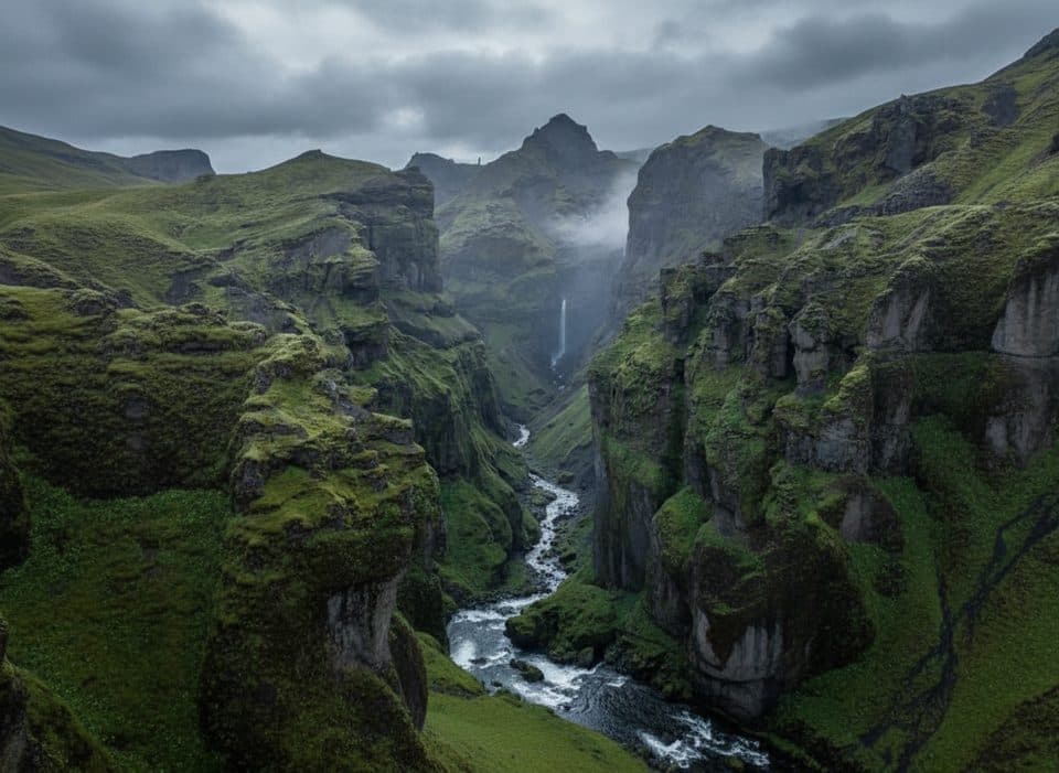
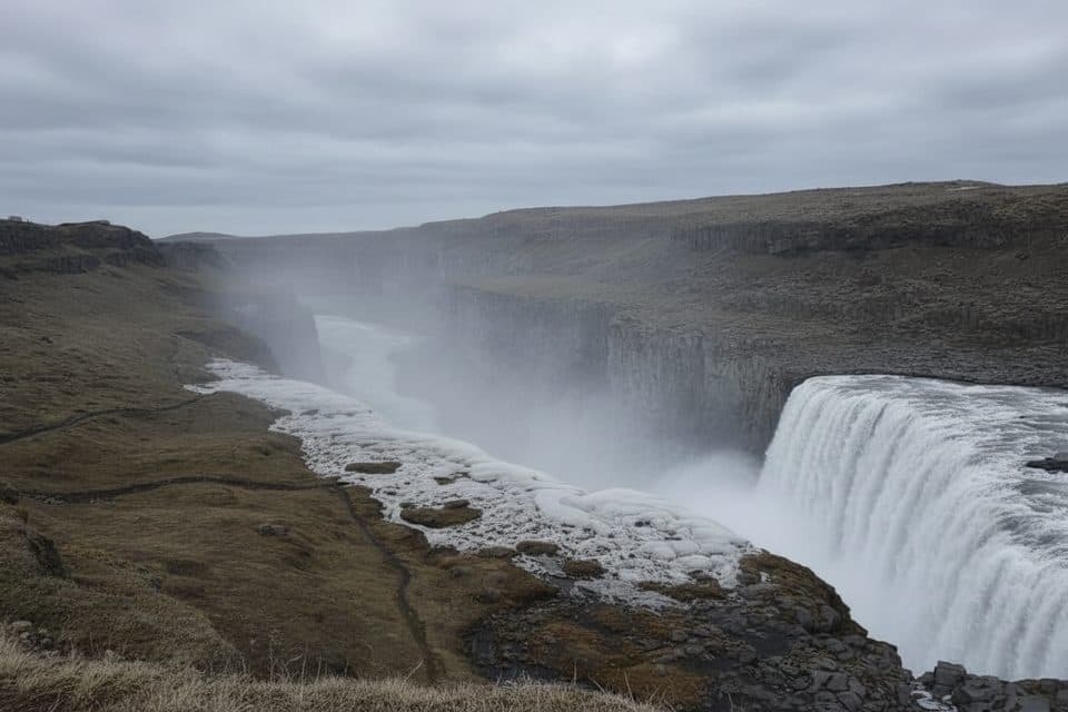
Múlagljúfur is a glacially carved canyon of cliffy walls, moss, and waterfalls—most famously Hangandifoss with Múlafoss deeper in the gorge. On clear days you’ll snag big‑sky views toward the surrounding glaciers, and you’ll often spot birds circling inside the canyon. It’s dramatic, photogenic, and still feels wilder than the South Coast’s headline stops.
The Hike
From the parking area, a mostly uphill path follows posts and a creek toward the canyon. Expect braided tread, a brief stepping‑stone stream crossing, and sections that are narrow, steep, and slick when wet. The classic ridge viewpoint is a shorter out‑and‑back (about 3.9 km roundtrip with ~180 m gain). Continuing above Hangandifoss toward Múlafoss lengthens it to roughly 5.8–6 km roundtrip and ~410 m of gain, with steeper, more exposed stretches. Plan anywhere from 1.5–2.5 hours for the standard outing, and up to 2–4 hours if you explore higher and linger.

Scenery & Photography
The iconic composition frames Hangandifoss in the foreground with Múlafoss beyond, all wrapped by green canyon walls. Morning light is usually kinder than harsh midday; angles often improve if you continue past the first viewpoint. Bring grippy footwear—slick rock and mud don’t play nice with tripods—and expect wind along the ridge.
Getting There & Parking
Turn off Route 1 onto an unsigned gravel spur and drive slowly—potholes abound. Trailhead/parking is near 63.9888, -16.3957. Parking is paid (via app/QR), and cell signal can be spotty, so download the app and offline maps beforehand. In good weather most cars make it; in wet or winter conditions, a higher‑clearance/4×4 is the safer call.
Conditions, Safety & Etiquette
- Footing: Rocky, sometimes muddy, and slippery when wet; sturdy waterproof boots help. Trekking poles are handy on the upper sections.
- Weather: It changes fast. Pack layers, a warm hat/gloves even in summer, and rain protection.
- Edges: Wind is common along the ridge—mind your footing near drop‑offs.
- Leave No Trace: Stay on the marked path to protect fragile moss, and pack out everything. Drones require permission.
Best Time to Visit
- Season: June–September offers the most reliable, snow‑free footing; winter conditions demand experience and extra caution. Shoulder seasons can be muddy and slick.
- Day of week & crowds: Midday and early afternoon tend to draw more hikers; Fridays and mid‑week afternoons can be the busiest. Aim for early morning or after 6 pm for thinner crowds and gentler light.
- Hours: Effectively open all day—plan around weather and light, not gates.
Nearby Pairings
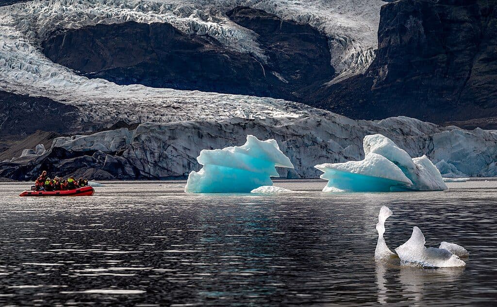
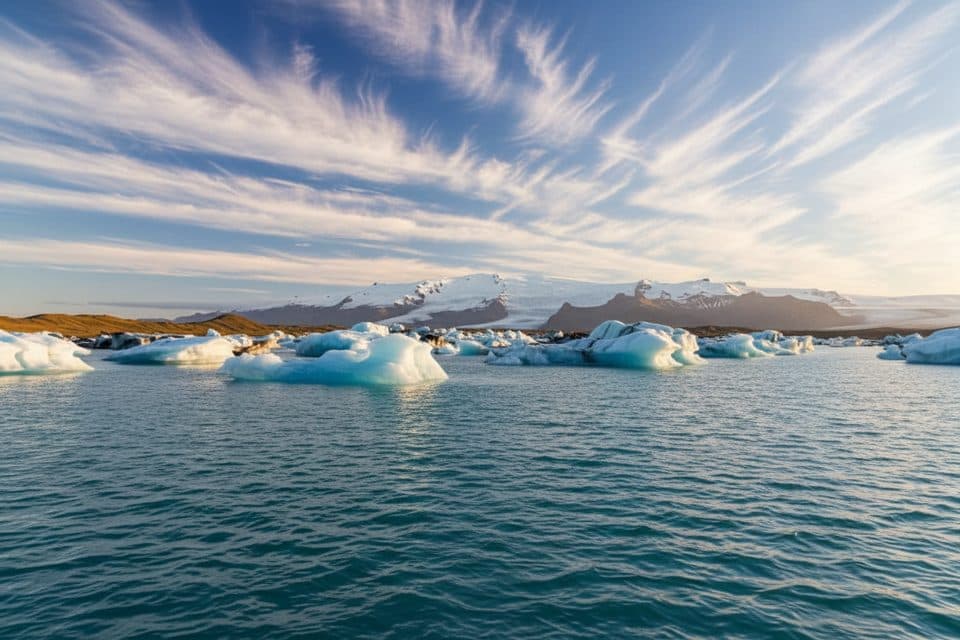
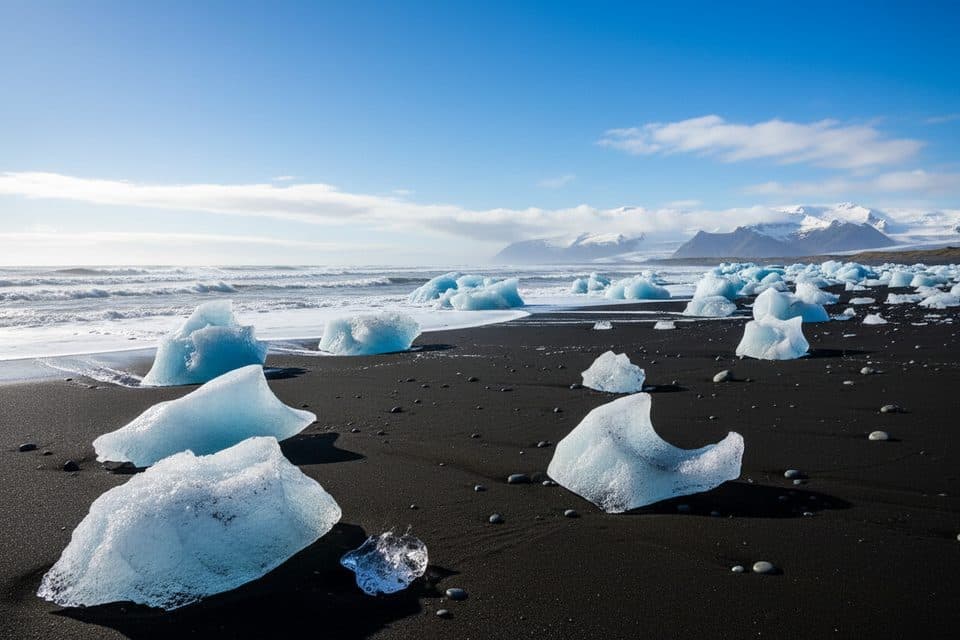
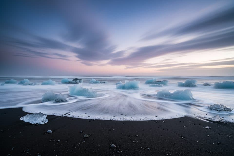
If you’re road‑tripping the South Coast, this pairs well with Fjallsárlón and Jökulsárlón glacier lagoons (plus Diamond Beach), or a half‑day at Skaftafell for more trails and services.
Where it is
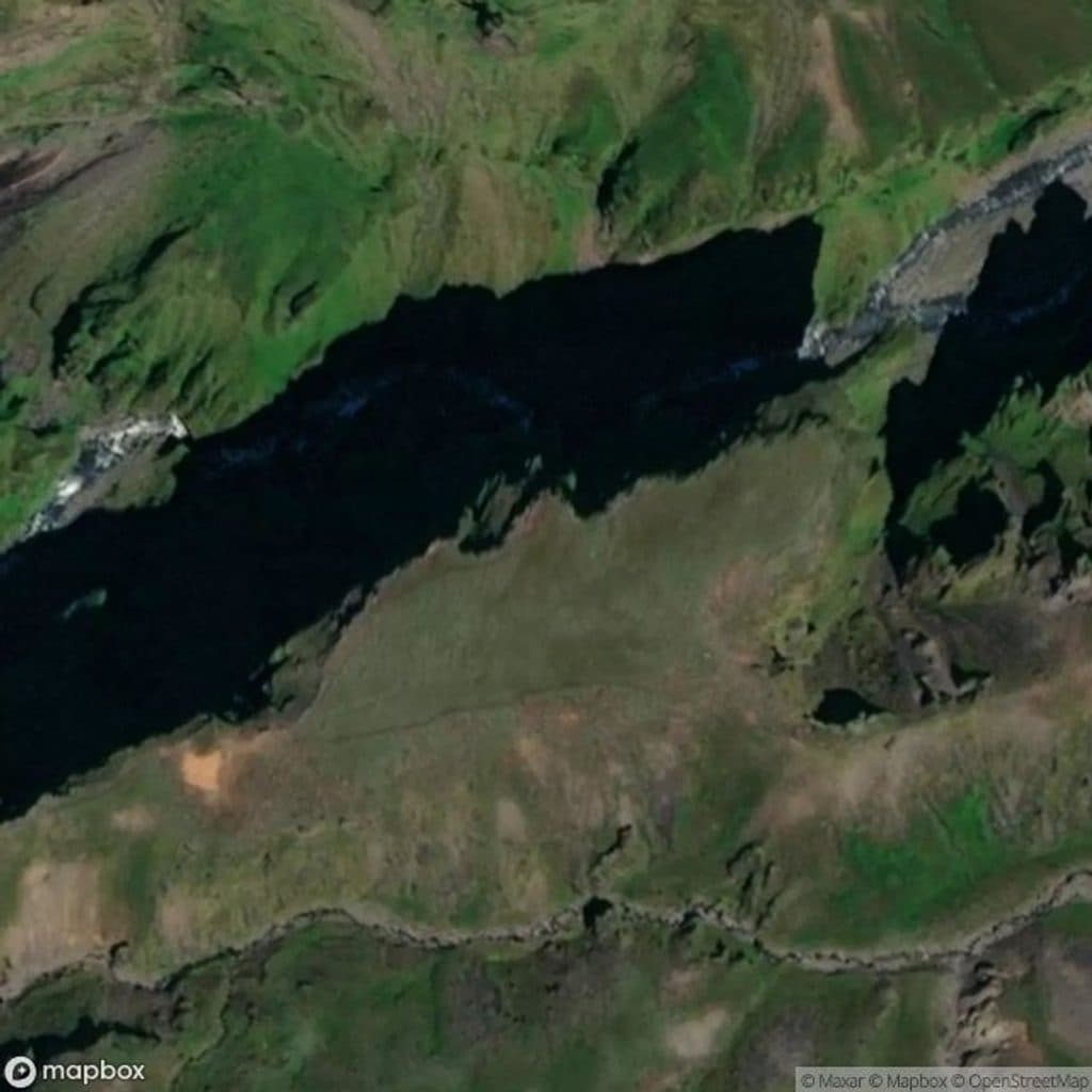
63.9891, -16.4639Tips for Múlagljúfur
- 01Arrive before 9 am or after 6 pm for lighter crowds and better light.
- 02Download offline maps and the parking app before leaving the Ring Road.
- 03Wear waterproof boots; there’s a short stream crossing and often mud.
- 04Bring layers—wind on the ridge can make it feel much colder.
- 05Follow the posts and stay on tread; don’t step on the fragile moss.
Amenities
Near Múlagljúfur
All places →All trails →
0 mi awayHangandifossA soaring ribbon waterfall hanging over a mossy glacial canyonTrailhead · Parking
2.7 mi awayFjallsárlón Glacier Lagoon ViewpointQuieter, close glacier and iceberg views without Jökulsárlón crowdsParking · Scenic Viewpoint
3 mi awayKvíárjökullQuiet outlet glacier with a short walk and textbook morainesParking · Scenic Viewpoint
3.1 mi awayFjallsárlón Glacier LagoonQuieter glacier lagoon with close-up ice and zodiac toursTrailhead · Parking
15.3 mi awaySjónarnípa Viewpoint Trail (S6)Basalt falls plus a cliff-top glacier overlook in one tidy loop.Moderate · 4.6 mi · 2.5 hr
15.3 mi awayKristínartindar Trail (S4)Glacier panoramas with a steep, loose scree summit push.Challenging · 11.4 mi · 7 hr
15.3 mi awaySvartifoss Waterfall (Skaftafell)Basalt-column beauty via a short uphill walk from Skaftafell.Moderate · 2.1 mi · 1.5 hr
15.3 mi awaySvartifoss–Sjónarsker–Sel (S2)Basalt falls, big views, and turf houses in one tidy loopModerate · 3.6 mi · 2 hr