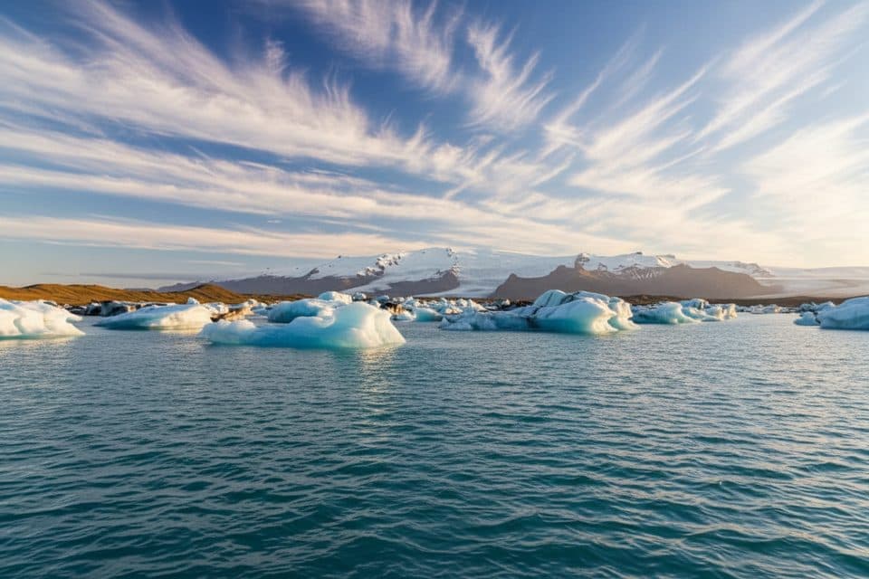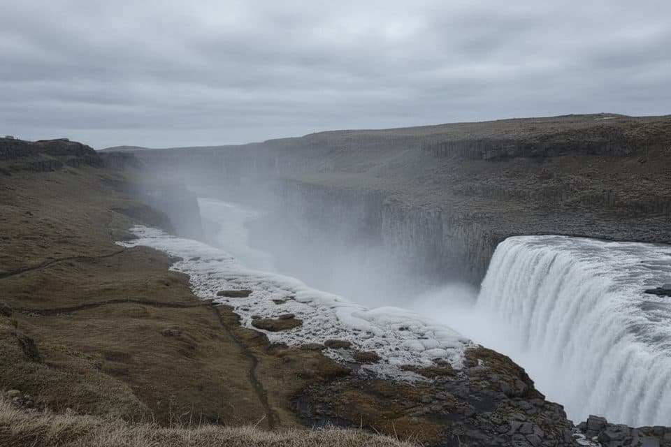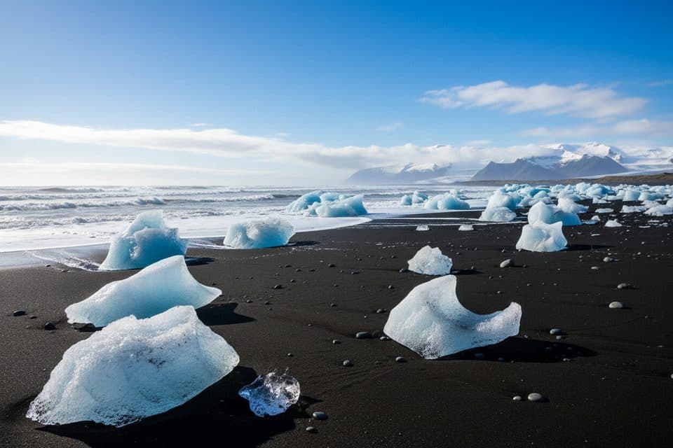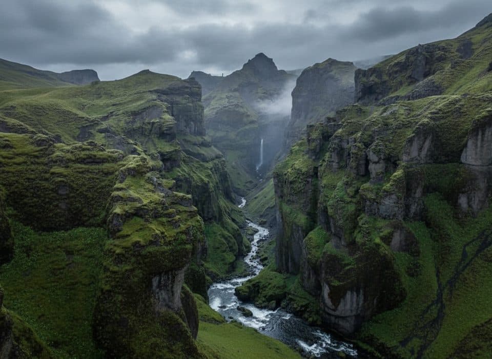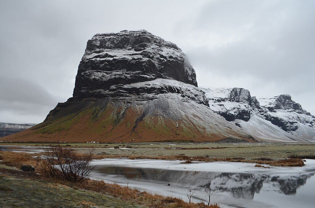
Lómagnúpur in Vatnajökull National Park

Sight · Vatnajökull National Park

Lómagnúpur

Sheer roadside cliff towering over the south coast sandur plains

Photo: Wikimedia Commons

Overview

About Lómagnúpur

Lómagnúpur is that head-turning cliff you drive right beneath on the south side of the Ring Road. It rises abruptly from the flat glacial outwash plains, making it an effortless, high-impact photo stop as you skirt the southern edge of the park. Expect big, moody scenery and ever-changing weather.

Why stop

  • Dramatic roadside cliff with easy pullouts for photos
  • Great light at sunrise/sunset; reflections after rain

Heads up

  • No on-site facilities or services
  • Frequent high winds and blowing sand on the plains
This is classic “fire and ice” country. Glaciers spilling off Vatnajökull meet land shaped by volcanoes, with rivers and winds constantly rearranging the sandur plains below. Lómagnúpur stands like a fortress over this young, shifting landscape—part of why it photographs so well from so many angles.
Parkwolf’s verdictWhat Makes It Special

Map

Where it is

Loading the Vatnajökull map
Full map
SightLómagnúpur63.99028, -17.52416
Keep this map with you offline in the Parkwolf app

Local know-how

Tips for visiting Lómagnúpur

  1. Use only established pullouts and tracks; the ground can be soft and fragile.

  2. Check park advisories before driving—conditions and closures can change fast.

  3. Aim for sunrise or sunset; after rain, look for reflection pools on the plains.

  4. Secure your tripod and protect camera gear from windblown sand.

  5. Plan restroom stops at larger hubs since there are no facilities on-site.

Plan your stop

Before you go

Best time to visit

  • Season: Late spring through early autumn offers longer days and easier driving; winter can be stunning but brings short daylight, icy roads, and stronger winds.
  • Time of day: Sunrise and sunset are best for color and low-angle light. Midday is fine for a quick stop when clouds add drama.
  • Crowds: It’s a roadside attraction, so brief visits cycle quickly—arrive early in peak summer if you want the pullouts to yourself.

Facilities and Parking

There are no official restrooms or services at Lómagnúpur’s pullouts. Parking here is typically free, but always check on-site signage in case policies change. Plan restroom and food stops at larger hubs along Route 1 or at nearby visitor centers elsewhere in the region.

1 active Vatnajökull alert

  • ClosureFosshvammur permanently closed at DettifossFosshvammur at Dettifoss is permanently closed to all traffic; do not enter.Official details
Vatnajökull alerts
A park ranger sits on a dash-mounted phone, talking, as Parkwolf’s Tour Guide plays “Army Cutworm Moths: A Grizzly Bear Buffet” on Grand Loop Road below Dunraven Pass in Yellowstone
Parkwolf Tour GuideThe highest, rockiest slopes around here are a summer buffet for grizzly bears.

Vatnajökull Tour Guide

Your drive to Lómagnúpur, narrated.

Parkwolf is a GPS audio tour guide for Vatnajökull National Park. As you drive, it chimes in with what’s ahead: hidden gems, upcoming stops, history, geology, and wildlife, right through your car’s speakers.

More stories near here in the app

  • Where a River Vanished
  • The Purple Blanket: Iceland's Lupine
  • 102 audio storiesacross Vatnajökull’s roads, triggered by GPS as you drive
  • Wildlife heatmapsfor Grey Seal, Harbor Seal, Caribou, and 13 more
  • Works offlinemaps, 16 trails, 72 places, and audio download before you lose signal
  • CarPlay readysimple controls built for the drive
★★★★★
“Fantastic app with many points of information… It’s great to just turn on while you’re driving and it gives you an audio tour of the national Park. We love it!!!!”
JMJamesApp Store review
Download Parkwolf on the App StoreGet Parkwolf on Google Play

4.7 from 8,600+ ratings

Guide

More about Lómagnúpur

On-Site ExperienceAccess is straightforward from Route 1, with established pullouts commonly used for viewing and…

Access is straightforward from Route 1, with established pullouts commonly used for viewing and photography. Enjoy it from below—there are no formal, safe routes up the cliff face. An informal, mostly flat path on the east side leads toward a small waterfall; stick to existing tracks and give the cliff base a wide berth due to rockfall potential.

Conditions, Hazards, and EtiquetteThis area can be very windy, and sandblasting on the plains is real—protect eyes and gear.

This area can be very windy, and sandblasting on the plains is real—protect eyes and gear. Rockfall from the cliff face is possible, especially after rain or freeze–thaw. The wider region can experience sudden glacial floods tied to volcanic or geothermal activity, so heed any park advisories and closures. Birdlife may nest on cliffs in late spring–summer; keep noise down and give them space.

Photography TipsEarly and late light flatter the cliff’s sheer face.

Early and late light flatter the cliff’s sheer face. After rain, shallow pools on the sandur can create mirror-like reflections—scan the plains for still water. Winds are common; brace yourself and your tripod, and keep dust protection handy.

Wildlife

Wildlife in Vatnajökull

All Vatnajökull wildlife maps

Sighting maps show where each species has been reported across Vatnajökull. Wildlife moves, so no sighting is guaranteed.

Parkwolf’s Vatnajökull ranking

Top sights in Vatnajökull

All 72 places
  1. 1DettifossSight
  2. 2JökulsárlónSight
  3. 3Dettifoss West ViewpointSight
  4. 4Diamond Beach (Breiðamerkursandur)Beach
  5. 5MúlagljúfurSight
  6. 6Breidamerkurjökull GlacierSight

Take Parkwolf to Vatnajökull.

The audio tour guide for the drive, plus offline maps, trails, and wildlife heatmaps for when the signal drops.

4.7 from 8,600+ ratings

Download Parkwolf on the App StoreGet Parkwolf on Google Play