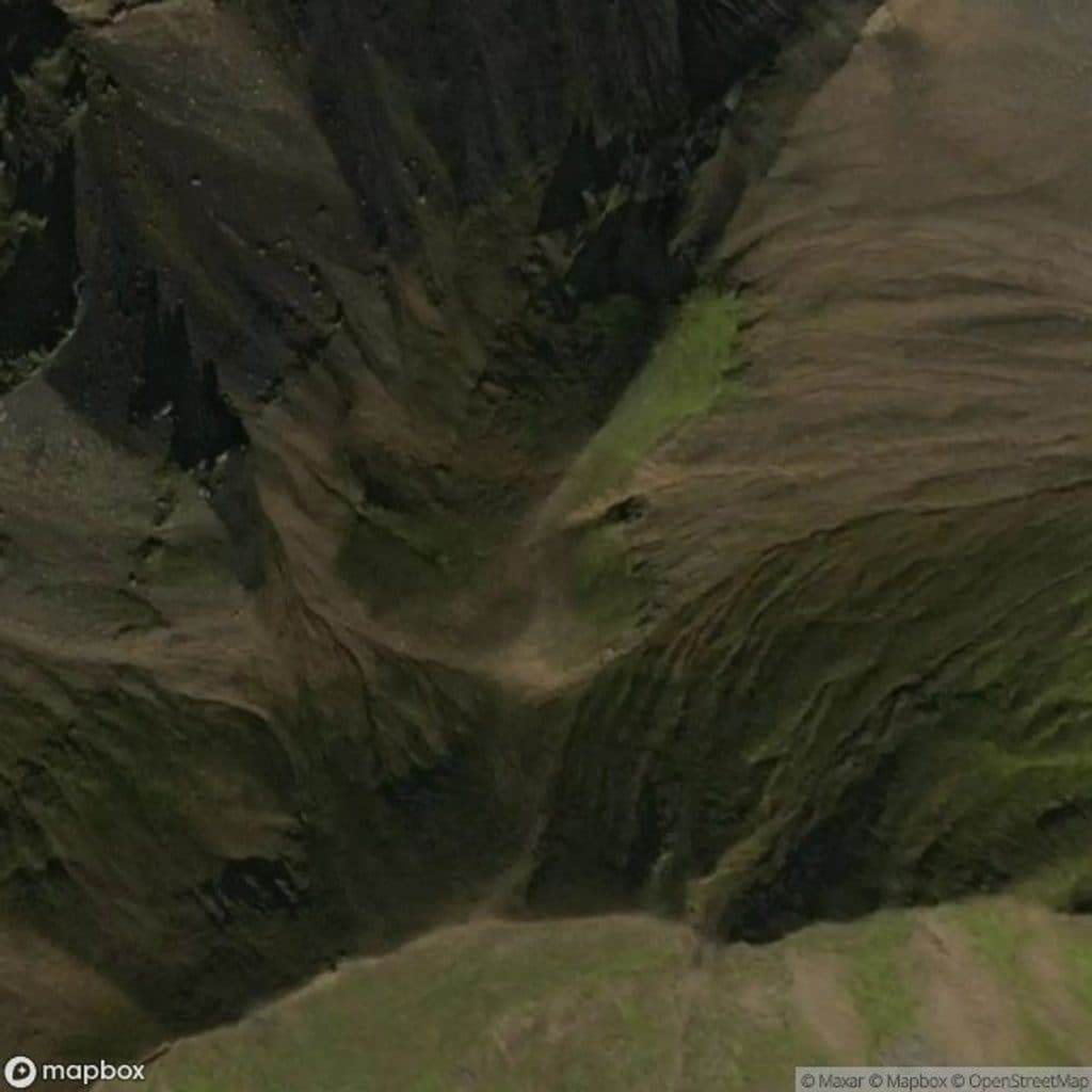
Sveinstindur

Short, steep summit with sweeping views of Langisjór and glaciers
Sveinstindur, Vatnajökull National Park
InsideVatnajökull National Park

Overview

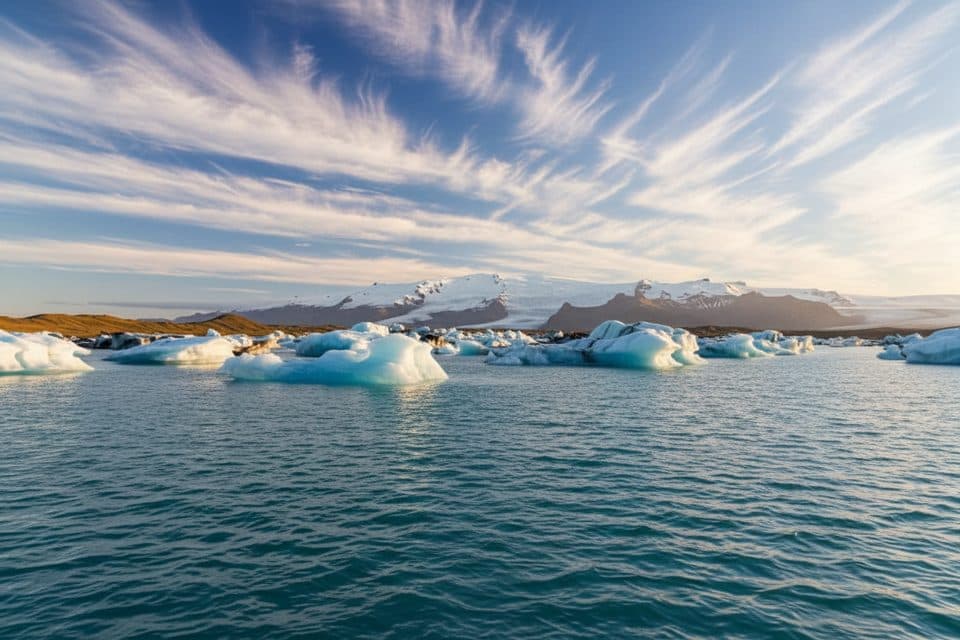
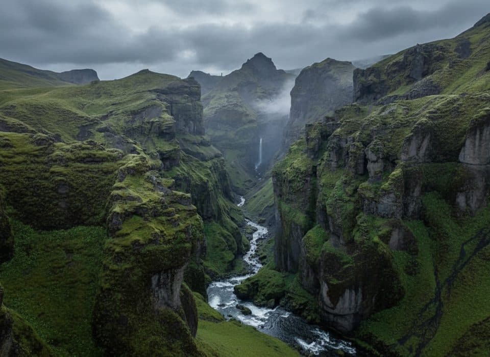
Sveinstindur is the classic Highlands payoff: a short, steep climb to a wide-open summit where Langisjór stretches like a teal ribbon below and, in clear weather, both Vatnajökull and Mýrdalsjökull bookend the horizon. It’s rugged, silent, and far from crowds—exactly the kind of view you drive into the Highlands for.

The Hike

Expect a compact out-and-back: about 4.4 km round trip with roughly 530 m of ascent, taking most hikers 2.5–3 hours. The route is well marked with yellow blazes and has two notably steep pitches on soft, crumbly volcanic grit. No scrambling, just careful footwork—trekking poles pay for themselves here.

Getting There

You’ll drive F208 and then F235 to the Langisjór area; this means real Highlands travel with river fords and no services. The small gravel lot is a few hundred meters past the Langisjór info point, and the path is obvious from the parking. Only go in a proper 4x4, cross rivers cautiously, and know most rental insurance excludes water damage.

Season and Conditions

This is a summer-only objective when F-roads open. Conditions change fast in the Highlands—wind, rain, and even lingering early-summer snow near the summit are all on the table. Check current road, river, and weather info with park channels before you set out.


What Makes It Special

From the top, the scale is what hits you: the 20+ km length of Langisjór, glacial rivers carving the desert, and big-ice views toward Vatnajökull (northeast) and Mýrdalsjökull (southwest) when the air is clear. It’s the quintessential fire-and-ice panorama.

Logistics and Nearby

There are designated camping options at Langisjór and a hut at/near Sveinstindur, plus other highland huts and camping in the area. If conditions and time allow, pair this with Eldgjá and Ófærufoss for a memorable Highlands day.

Photography Tips

Give yourself time at the summit—the light shifts quickly over ridges, islands, and glacier tongues. A telephoto is great for compressing shapes across Langisjór.

Best Time to Visit

Aim for the summer F-road window, with late June–July offering the best odds of open access. Go on a clear forecast day, arrive with flexibility to linger up top, and enjoy the solitude—this spot stays quiet even in peak season.

Pros

  • Huge summit views over Langisjór with Vatnajökull and Mýrdalsjökull on clear days
  • Short, well-marked hike that still feels remote and uncrowded
  • Small trailhead parking right by the start

Cons

  • Access via F-roads with river crossings; true 4x4 required and no services
  • Steep, loose volcanic grit can be tough, especially on descent

Tips

  • Drive only in a true 4x4 and check F-road and river conditions the morning you go.
  • Bring trekking poles—the steep, loose grit is harder on the way down.
  • Park just past the Langisjór info point and follow the yellow waymarks uphill.
  • Pack layers, food, and water; there are no services and weather flips fast.
  • Fuel and fill water in Kirkjubæjarklaustur before leaving the pavement.
The Parkwolf tour guide sitting on a phone mounted in a car

Parkwolf Tour Guide

Like a tour guide in your car.

Save the places you found around Vatnajökull, then let Parkwolf guide the drive between them.Download Parkwolf on the App Store