Parking
The trail starts in front of Skaftafellsstofa; use the marked parking area beside the visitor centre.
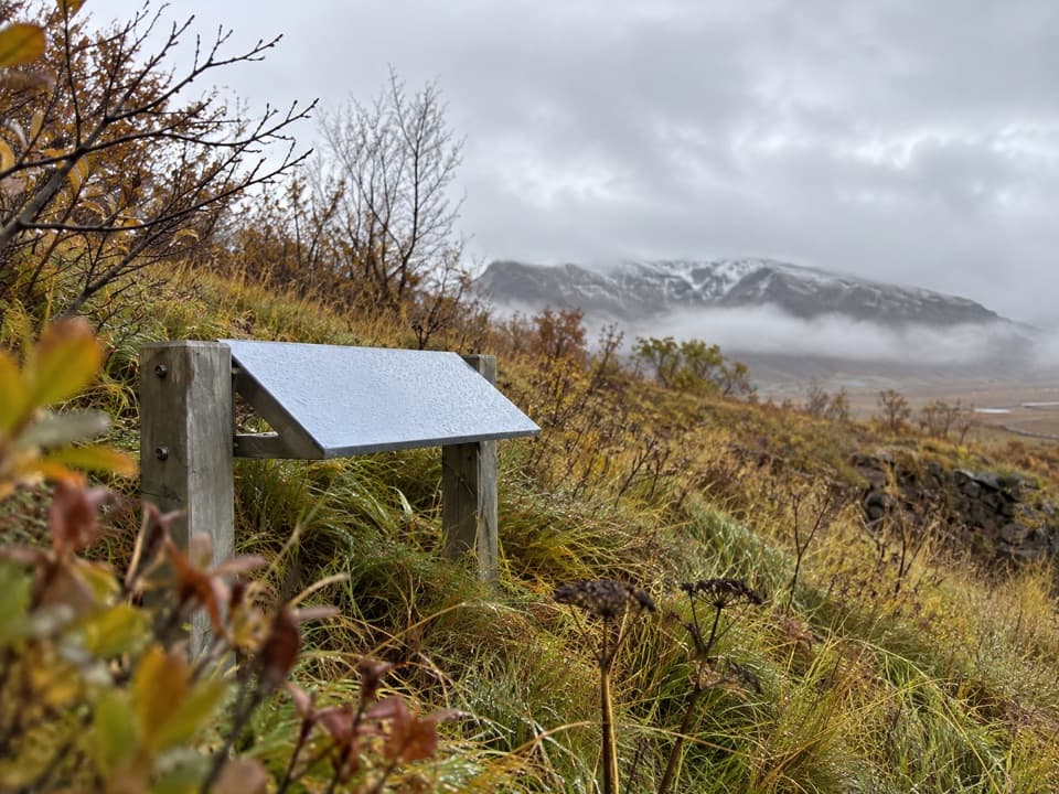
Vatnajökull National Park
A short loop past old farm ruins shaped by glacial floods.
Overview
Map & elevation
Plan your hike

The highest, rockiest slopes around here are a summer buffet for grizzly bears.
Vatnajökull Tour Guide
Parkwolf is a GPS audio tour guide for Vatnajökull National Park. As you drive, it chimes in with what’s ahead: hidden gems, upcoming stops, history, geology, and wildlife, right through your car’s speakers.
Recorded for this trailhead
Skaftafell: Waterfall or Glacier Walk“You're nearing Skaftafell, the starting point for walks to Svartifoss and the glacier. Start at the visitor centre if you haven't chosen a route.”
Plays as you drive up to this trailhead in the Parkwolf Vatnajökull Tour Guide.
More stories near here in the app
“Fantastic app with many points of information… It’s great to just turn on while you’re driving and it gives you an audio tour of the national Park. We love it!!!!”


Trail guide
Gömlutún S7 is a 1.6 km circular walk from the front of Skaftafellsstofa through former farm fields below Skaftafellsheiði. Five interpretation panels explain life in Öræfi and how glacial rivers and volcanic eruptions shaped where people settled. It is a good choice for a short walk with a story to follow; the park labels it family friendly and estimates 30 to 60 minutes.
Follow the marked route west from the visitor centre to Gömlutún, circle the old farm area, then return over the short shared connector. The walking surface changes from pavement near the centre to gravel, stony path and natural ground around the fields. The park lists 50 m of elevation; allow time to stop at the panels rather than treating this as a quick walk-through.
Gömlutún is the site of an earlier Skaftafellsbær farm, whose ruined buildings remain among the open fields. Glacial rivers covered the low meadows and fields, so residents moved the farm uphill. A section of the present footpath follows a bulldozer track used during the park’s early years to carry materials to work sites. The panels add context on local settlement, glacial floods and eruptions in Öræfi.
The trail begins at Skaftafellsstofa, where there is marked parking, a visitor centre, souvenir shop and flush toilets. Food services in the area are seasonal and separate from the walk. Dogs are allowed on leash and must stay under control. Skaftafell is accessible year-round when roads and weather permit, but conditions can change quickly outside summer.
Wildlife
 23 sightingsGrey SealMost seen around 5 AMSighting map
 260 sightingsHarbor SealMost seen around 11 AMSighting map
 184 sightingsCaribouMost seen around 7 PMSighting map
 62 sightingsArctic FoxMost seen around 8 PMSighting map
 169 sightingsWhooper SwanMost seen around 5 PMSighting map
 68 sightingsAtlantic PuffinMost seen around 7 PMSighting map
Sighting maps show where each species has been reported across Vatnajökull. Wildlife moves, so no sighting is guaranteed.
Keep exploring
 EasySkaftafellsjökull Glacier Trail4.1 km · 1.3 hr · At the trailheadA gentle loop through the landscapes left as the glacier retreated.
 ChallengingKristínartindar S4 Summit Circuit17.9 km · 7 hr · At the trailheadA difficult summit loop above Skaftafell's glacier valleys.
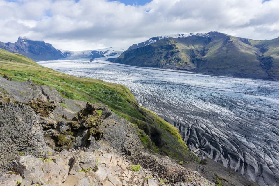 ChallengingSkaftafellsheiði (S3) Loop16.6 km · 5.5 hr · At the trailheadCircle between two glaciers, then look over the Skeiðarársandur plain.
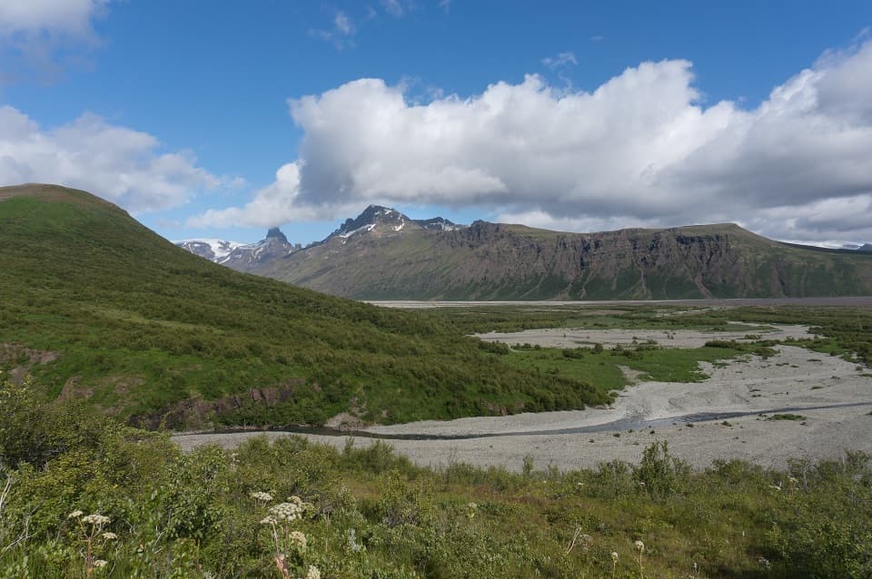 ModerateBæjarstaðarskógur Loop (M1)15.3 km · 4.5 hr · At the trailheadA long loop through birch forest, ravines and a river valley.
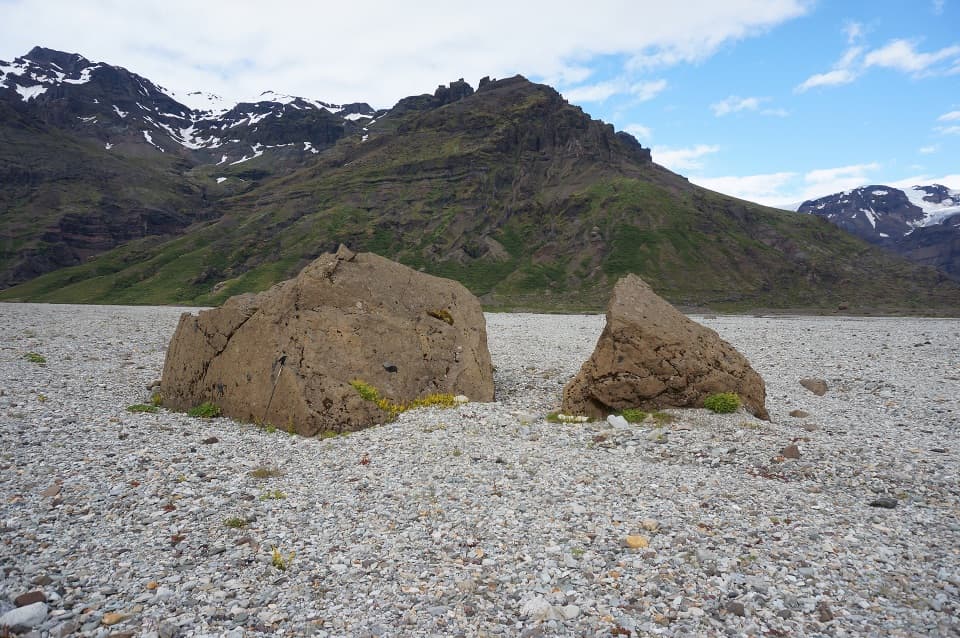 ChallengingKjós (M3) Loop30 km · 9 hr · At the trailheadA full-day loop into Skaftafell’s high-walled Kjós valley.
 ModerateSvartifoss–Sjónarsker–Sel Loop (S2)5.8 km · 2.5 hr · At the trailheadWaterfall, basalt columns, open views and a turf farm in one loop.ModerateSvartifoss Trail3 km · 1.3 hr · At the trailheadA steady climb to a waterfall framed by basalt columns.
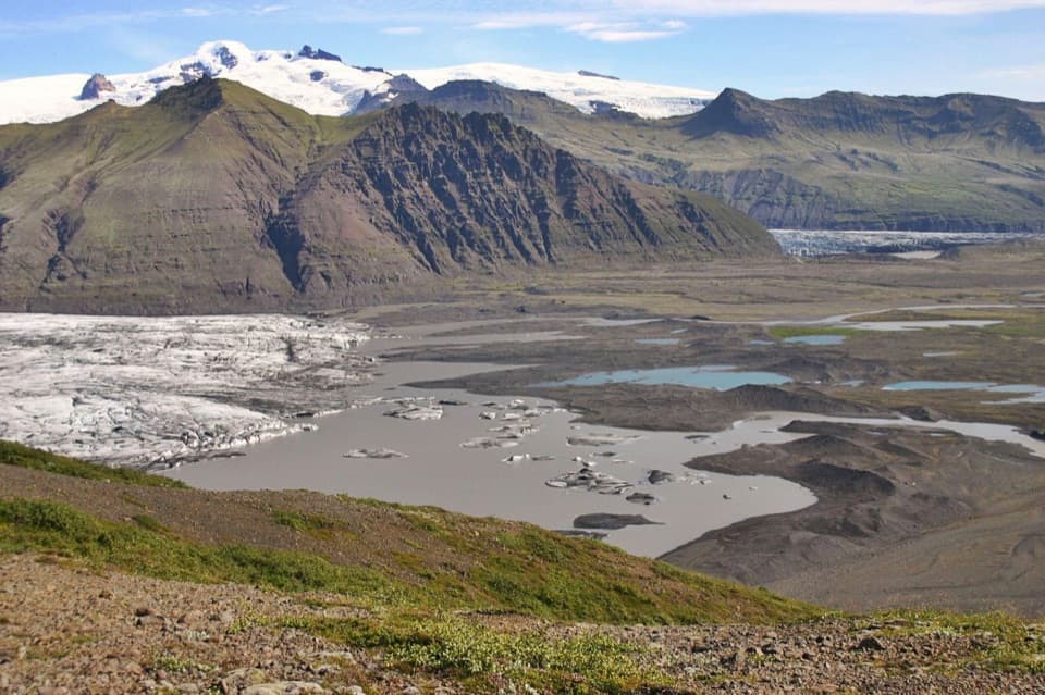 ChallengingSjónarnípa Loop (S5)6.5 km · 2.5 hr · At the trailheadClimb above Skaftafellsjökull for a glacier and lagoon view.
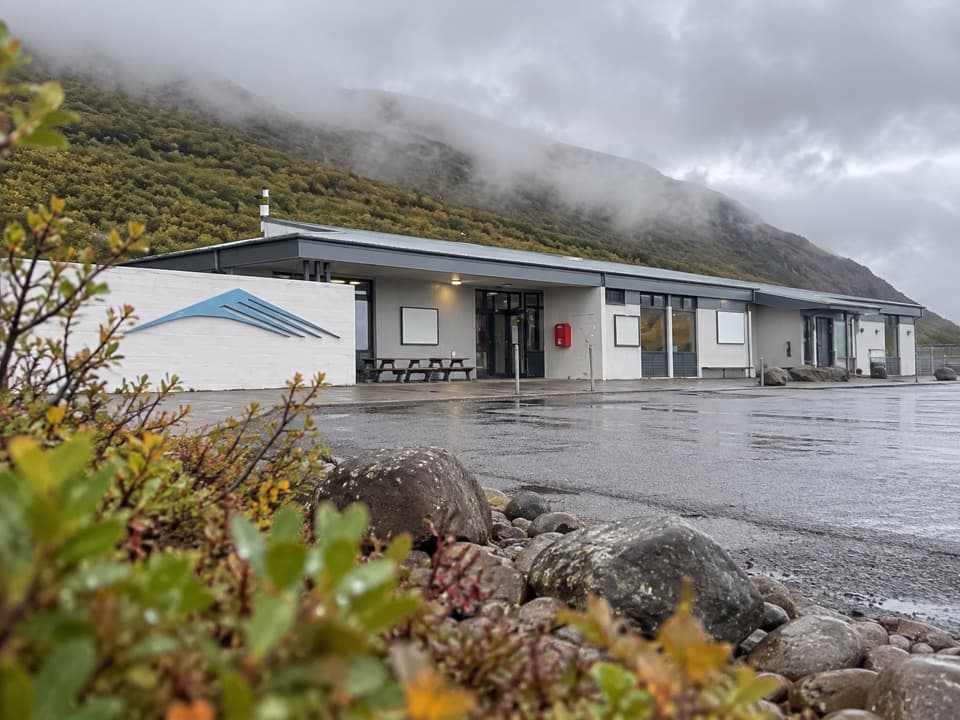 Visitor center · At the trailheadSkaftafellsstofa Visitor CentreGet trail advice before choosing between glacier and waterfall walks.
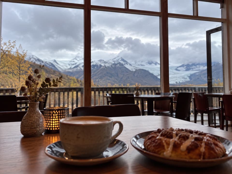 Restaurant · At the trailheadEyðimörk BistroA warm bowl of homemade tomato soup after the glacier walk.
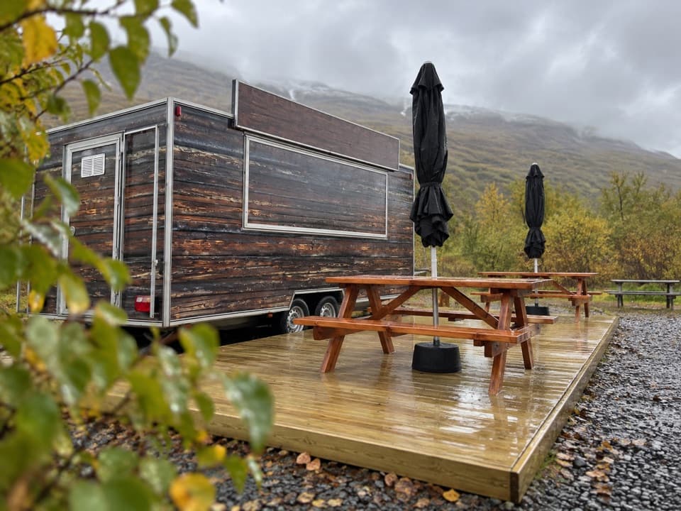 Food · 0.1 km awayGlacier GoodiesA hot fish-and-chips stop after your hike
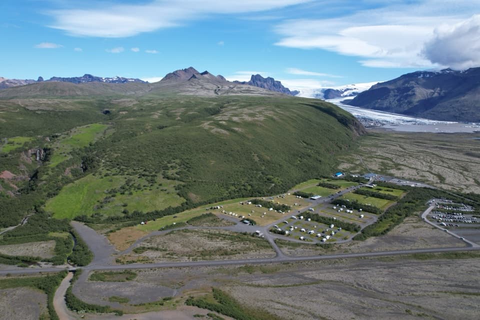 Campground · 0.3 km awaySkaftafell CampgroundA 400-tent trail base with showers, laundry and glacier views
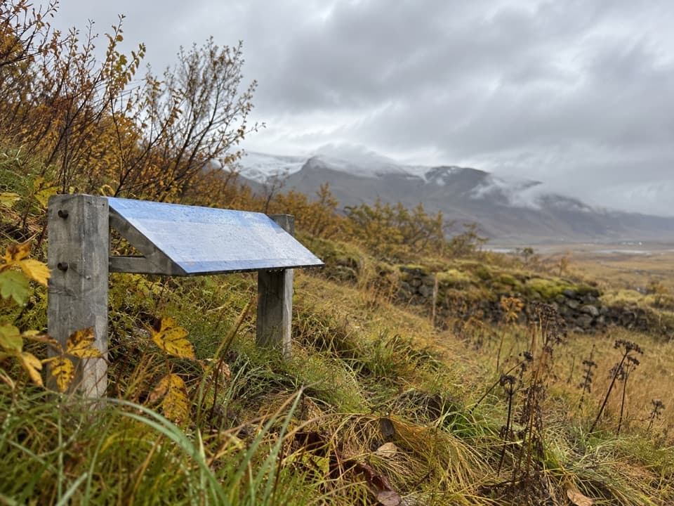 Sight · 0.6 km awayGömlutún Historic Farm RuinsFarm ruins with a story shaped by glacial rivers.
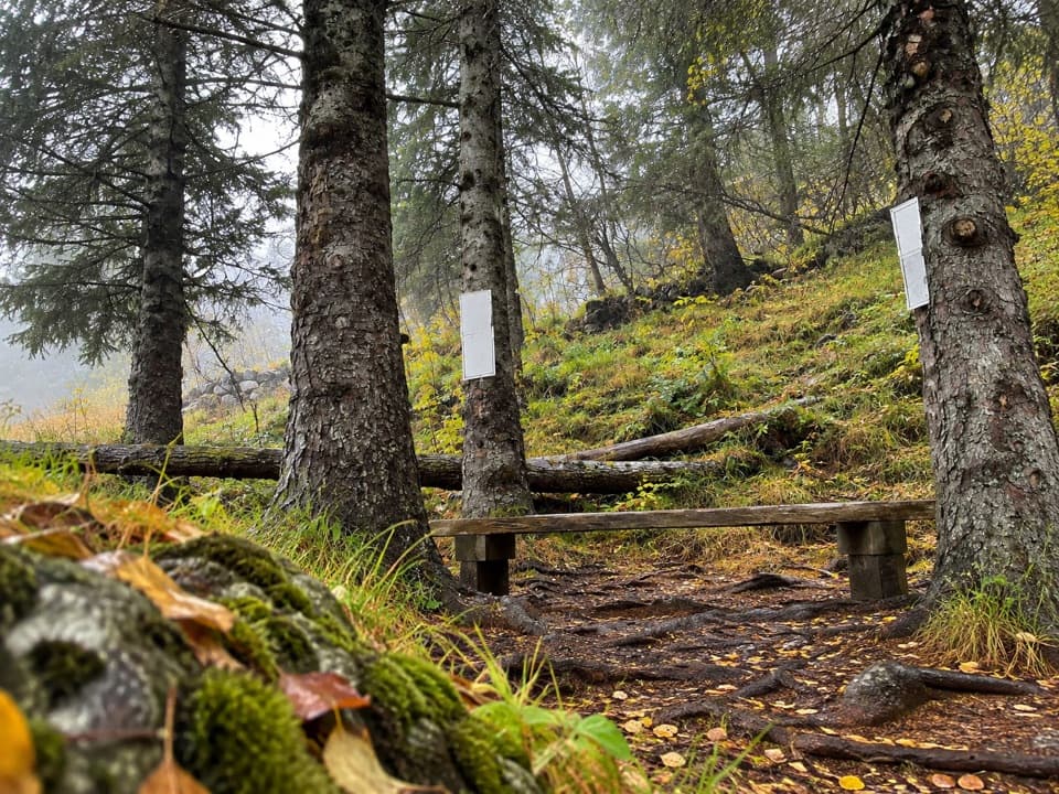 Sight · 0.8 km awayLambhagiA short walk to an old lamb-weaning enclosure.
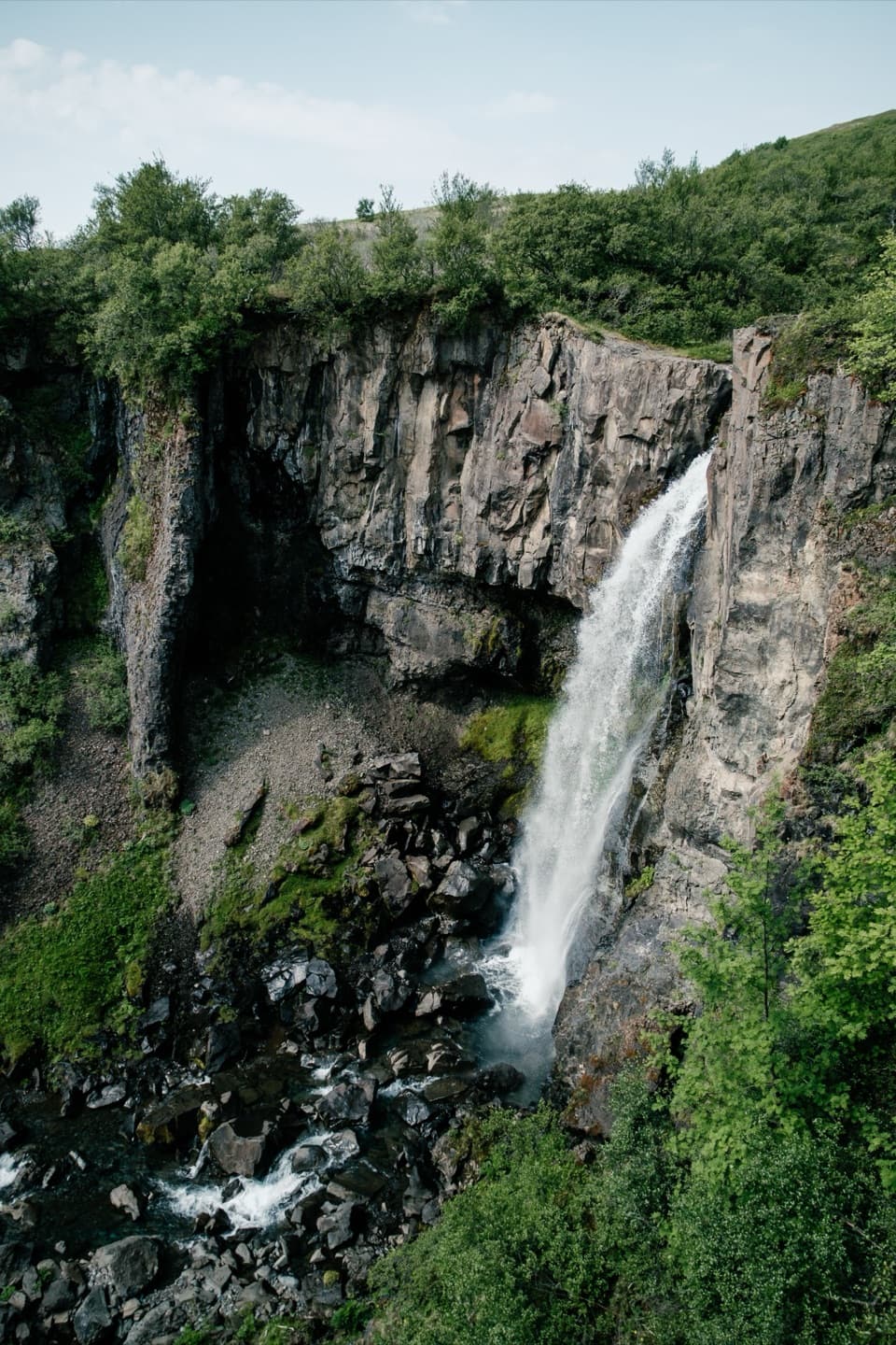 Sight · 0.8 km awayHundafossA worthwhile waterfall pause on the way to Svartifoss.
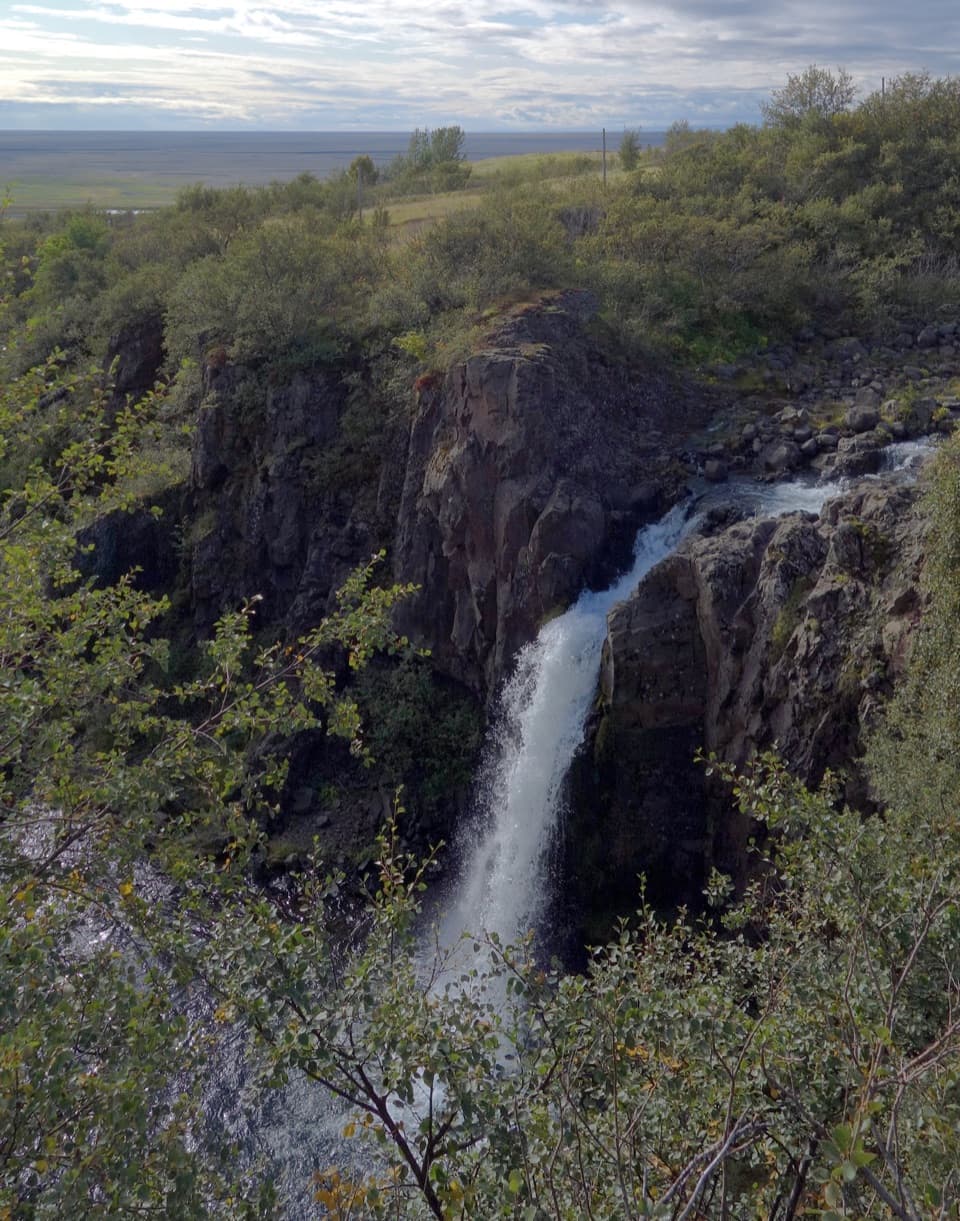 Sight · 0.8 km awayMagnúsarfoss and Historic Power StationA small waterfall with a surprising 1920s power story.
Parkwolf’s Vatnajökull ranking

The audio tour guide for the drive, plus offline maps, trails, and wildlife heatmaps for when the signal drops.

