Parking
Start behind Stafafell Guesthouse and church; confirm parking with the farm/guesthouse. A separate closer gravel-road approach along the Jökulsá may require a suitable 4x4 and is not the primary start for this loop.
Vatnajökull National Park
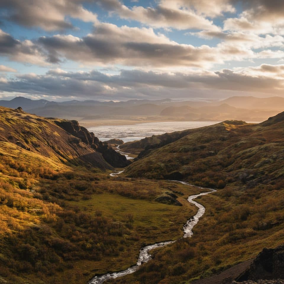
Long loop from Stafafell to the colorful Hvannagil canyon and back along the Jökulsá í Lóni
Overview
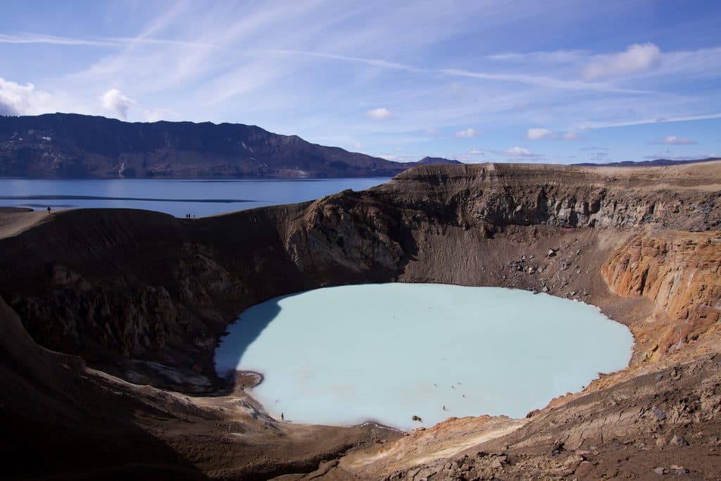
This long loop starts at Stafafell and follows the marked approach toward Hvannagil, a colorful rhyolite canyon on the eastern bank of the Jökulsá í Lóni. The complete GPS track is about 9.5 miles (15.3 km) with roughly 319 m (1,047 ft) of cumulative ascent and takes about 4.5–5 hours for most hikers. The shorter Hvannagil–Raftagil and Golden Valley variants are different walks.
Map & elevation
Plan your hike

The highest, rockiest slopes around here are a summer buffet for grizzly bears.
Vatnajökull Tour Guide
Parkwolf is a GPS audio tour guide for Vatnajökull National Park. As you drive, it chimes in with what’s ahead: hidden gems, upcoming stops, history, geology, and wildlife, right through your car’s speakers.
Recorded for this trailhead
Hvannagil Canyon Trail“The trailhead ahead is for Hvannagil. This is a great choice if you want to experience colorful rhyolite rocks, similar to the famous Landmannalaugar area, but without the big crowds or the required 4x4.”
Plays as you drive up to this trailhead in the Parkwolf Vatnajökull Tour Guide.
More stories near here in the app
“Fantastic app with many points of information… It’s great to just turn on while you’re driving and it gives you an audio tour of the national Park. We love it!!!!”


Trail guide
From behind the Stafafell guesthouse and church, follow the gravel road and sheep-track approach toward the canyon. The route descends into Hvannagil, follows the canyon and river landscape, and returns through the Jökulsá í Lóni area to Stafafell. The route is a true loop; the stored line follows the full visitor itinerary rather than stopping at the canyon viewpoint.
This is a moderately challenging long day hike with a steep descent into the canyon, uneven ground, route-finding and likely river or stream crossings. Marking is intermittent—some wooden sticks may be missing—and fog, wind and water levels can make navigation and crossings harder. Carry an offline map, waterproof footwear and layers.
Begin at Stafafell Guesthouse / farm, where the official local description places the hike behind the guesthouse and church. A separate gravel-road approach along the Jökulsá can reach a closer Hvannagil access in suitable vehicles, but that is not the primary trailhead represented by this long loop. Check weather, road access and river conditions before setting out; there are no reliable facilities along the route.
Wildlife
 22 sightingsGrey SealMost seen around 5 AMSighting map
 258 sightingsHarbor SealMost seen around 11 AMSighting map
 184 sightingsCaribouMost seen around 7 PMSighting map
 62 sightingsArctic FoxMost seen around 8 PMSighting map
 168 sightingsWhooper SwanMost seen around 5 PMSighting map
 68 sightingsAtlantic PuffinMost seen around 7 PMSighting map
Sighting maps show where each species has been reported across Vatnajökull. Wildlife moves, so no sighting is guaranteed.
Parkwolf’s Vatnajökull ranking

The audio tour guide for the drive, plus offline maps, trails, and wildlife heatmaps for when the signal drops.