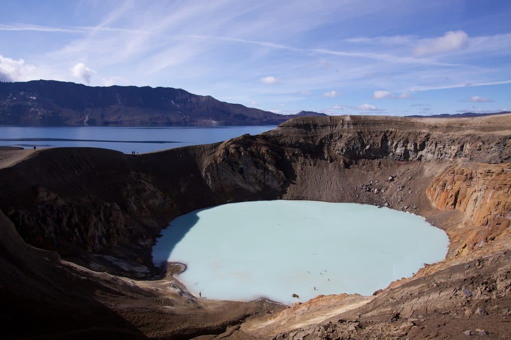
Parking
From Route 1, take the gravel access near 63.988667, -16.397159; the rough spur continues about 2.1 km to paid parking at the canyon trailhead near 63.993030, -16.436192. Current route information says the fee can be paid with the Parka app.
#4 of 16 trails in Vatnajökull
Vatnajökull National Park
Wild, mossy canyon to Hangandifoss, Múlafoss and glacier-rim views
Overview
Múlagljúfur is a dramatic, moss-lined canyon in southeast Iceland, with Hangandifoss in the foreground, views toward Múlafoss and Vatnajökull, and a rugged, lightly developed approach. This listing represents the longer visitor route from the canyon parking area to the upper viewpoints and back.
Map & elevation
Plan your hike

The highest, rockiest slopes around here are a summer buffet for grizzly bears.
Vatnajökull Tour Guide
Parkwolf is a GPS audio tour guide for Vatnajökull National Park. As you drive, it chimes in with what’s ahead: hidden gems, upcoming stops, history, geology, and wildlife, right through your car’s speakers.
Recorded for this area
Reading the Rivers: Clear vs. Grey“Notice how some rivers are crystal clear while others look like flowing concrete? The clear streams, like Hrútá, are spring-fed, filtered clean through porous volcanic rock.”
Plays on the road 2.9 km from the trailhead in the Parkwolf Vatnajökull Tour Guide.
“Fantastic app with many points of information… It’s great to just turn on while you’re driving and it gives you an audio tour of the national Park. We love it!!!!”


Trail guide
This is an out-and-back: 3.6 miles (5.77 km) total with about 1,345 feet (410 m) of ascent, typically 2–2.5 hours for the full outing. The app line stores the walked corridor once from the parking area to the upper turnaround; the visitor distance is the full return distance. The route climbs steadily through low vegetation and moss, crosses a small creek, passes viewpoints above Hangandifoss, and continues to higher views toward Múlafoss and the glacier. A shorter option to the classic main viewpoint is about 2.4 miles (3.86 km) round trip.
Start from the parking area at the end of the gravel access road and follow the visible path uphill. The route can branch around the lower slopes; follow the established tread and do not pass stones or other markers indicating a closed segment. After the creek crossing, the path climbs to the canyon rim and then continues higher past Hangandifoss. The upper section is steeper and can be slippery when wet; exposed viewpoints reward careful footing.
The gravel access leaves Route 1 near 63.988667, -16.397159 and continues roughly 2.1 km to the parking area near 63.993030, -16.436192. Parking is paid via the Parka app according to the current route information. There are no facilities at the trailhead and cell service can be intermittent. Spring, autumn and winter conditions can bring mud, ice, snow and swollen meltwater; check conditions before setting out.
Stay on visible paths and off the fragile moss. Keep back from exposed canyon edges, take care at the creek, and respect any stones or signs closing a branch. Bring water, food, sturdy footwear and offline navigation.
Wildlife
 22 sightingsGrey SealMost seen around 5 AMSighting map
 258 sightingsHarbor SealMost seen around 11 AMSighting map
 184 sightingsCaribouMost seen around 7 PMSighting map
 62 sightingsArctic FoxMost seen around 8 PMSighting map
 168 sightingsWhooper SwanMost seen around 5 PMSighting map
 68 sightingsAtlantic PuffinMost seen around 7 PMSighting map
Sighting maps show where each species has been reported across Vatnajökull. Wildlife moves, so no sighting is guaranteed.
Keep exploring
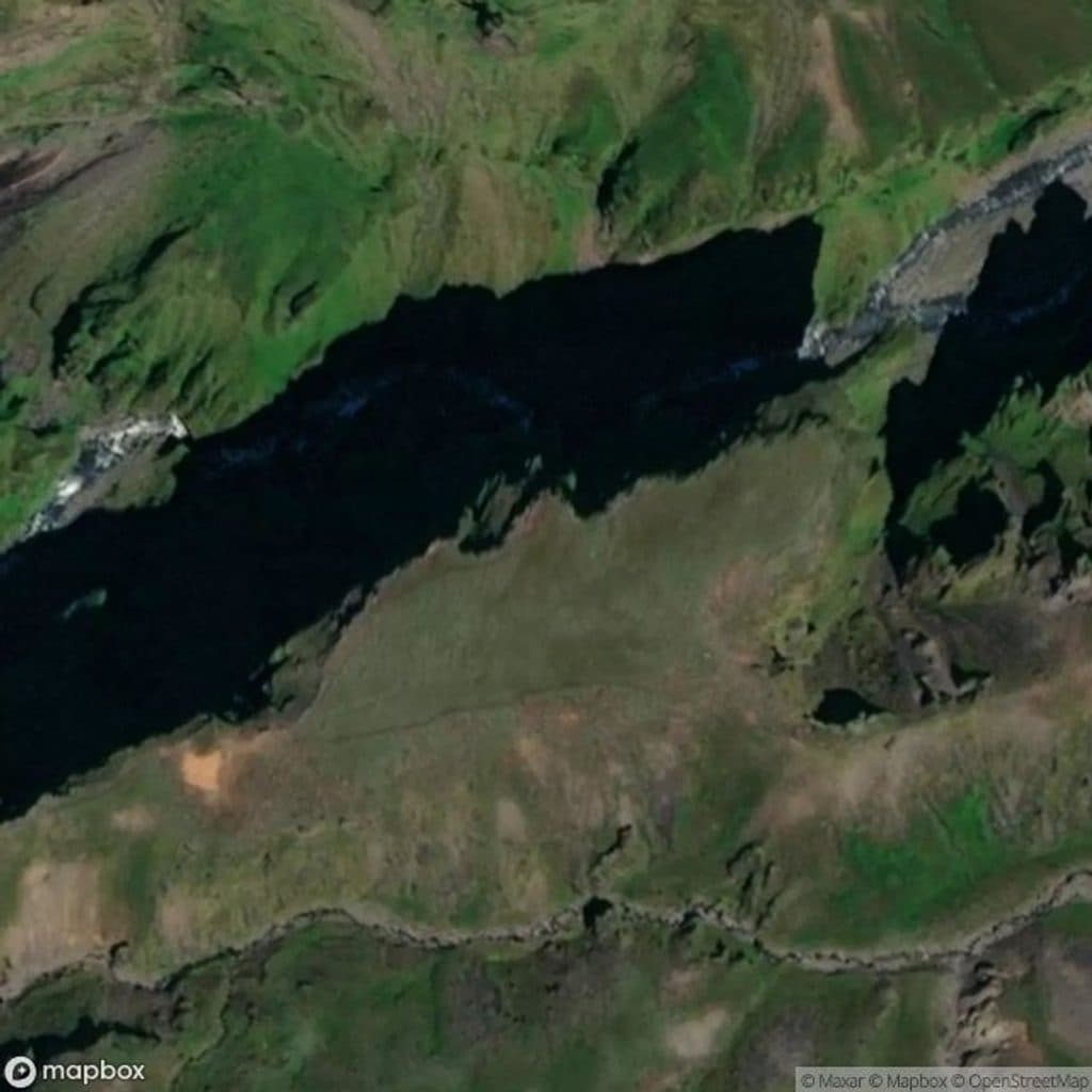 Sight · 1.4 km awayHangandifossA soaring ribbon waterfall hanging over a mossy glacial canyon
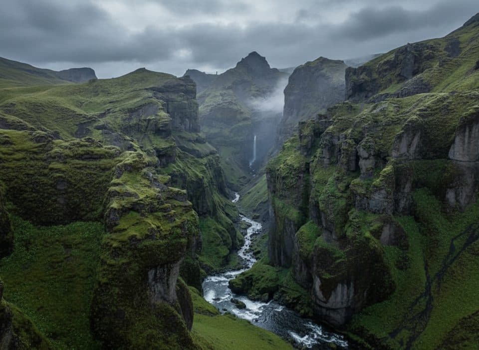 Sight · 1.4 km awayMúlagljúfurGlacial canyon with twin falls and jaw-dropping ridge views
 Sight · 3.1 km awayFjallsárlón Glacier Lagoon ViewpointQuieter, close glacier and iceberg views without Jökulsárlón crowds
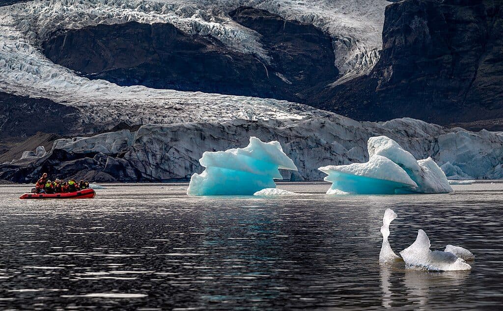 Sight · 3.8 km awayFjallsárlón Glacier LagoonQuieter glacier lagoon with close-up ice and zodiac tours
 Sight · 6.1 km awayKvíárjökullQuiet outlet glacier with a short walk and textbook moraines
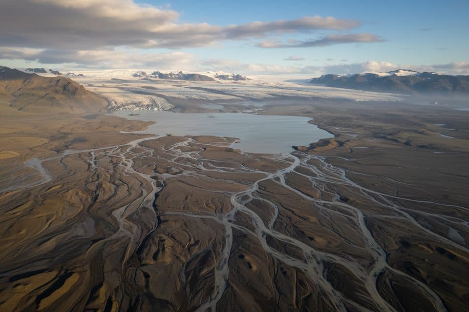 Sight · 7.6 km awayBreiðárlónQuiet glacier lagoon between Jökulsárlón and Fjallsárlón
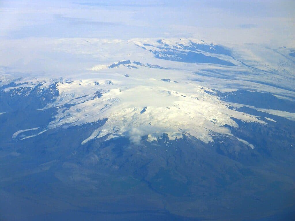 Sight · 10.7 km awayÖræfajökullIceland’s highest, ice-cloaked volcano and gateway to glacier adventures
 Sight · 11.9 km awayHvannadalshnjúkurIceland’s highest summit via a serious, guide-led glacier climb
Parkwolf’s Vatnajökull ranking

The audio tour guide for the drive, plus offline maps, trails, and wildlife heatmaps for when the signal drops.