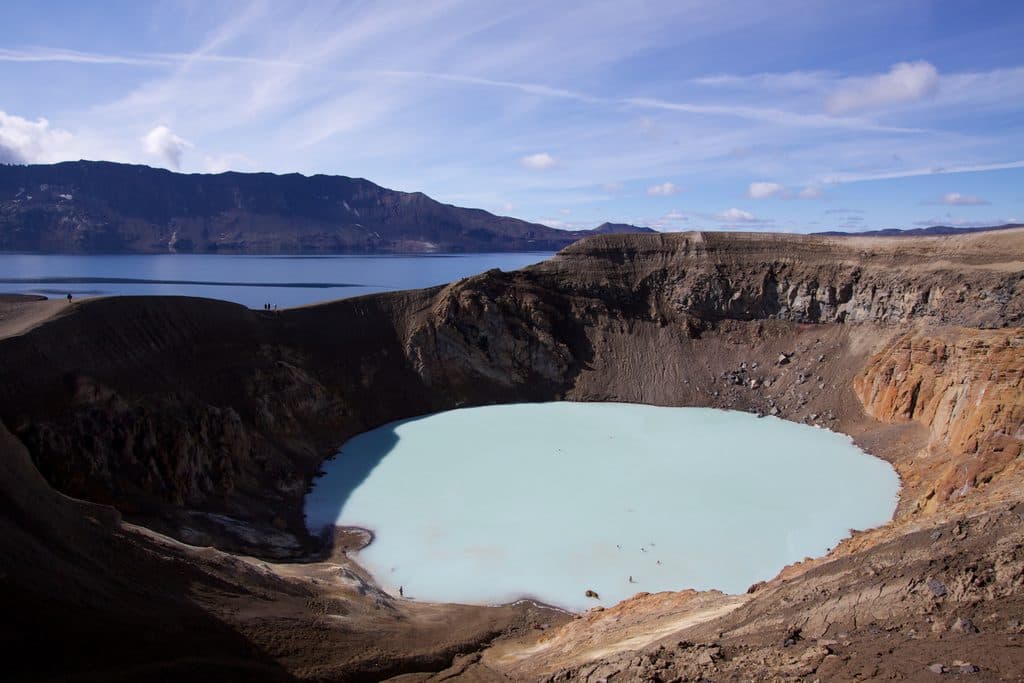
Parking
East-side parking area at the end of gravel Road 864 (Hólsfjallavegur/Dettifossvegur eystri). The approach can be slow depending on road conditions; seasonal snow and wet-mud closures affect access.
#1 of 16 trails in Vatnajökull
Vatnajökull National Park
East-side scramble to Iceland’s powerhouse falls with less spray.
Overview
The east-side approach to Dettifoss and Selfoss is a rugged, marked waterfall walk from the parking area on gravel Road 864. The route drops toward Dettifoss, reaches the east-bank viewpoint, then follows the canyon south to Selfoss. Expect powerful falls, spray, raw volcanic terrain, and close views from the less-developed side of the river.
Map & elevation
Plan your hike

The highest, rockiest slopes around here are a summer buffet for grizzly bears.
Vatnajökull Tour Guide
Parkwolf is a GPS audio tour guide for Vatnajökull National Park. As you drive, it chimes in with what’s ahead: hidden gems, upcoming stops, history, geology, and wildlife, right through your car’s speakers.
“Fantastic app with many points of information… It’s great to just turn on while you’re driving and it gives you an audio tour of the national Park. We love it!!!!”


Trail guide
This is an out-and-back of about 2.5 miles (4.1 km) for the full visitor walk. From the east parking area, the mapped path reaches Dettifoss in roughly 0.4 km, including a short approach to the viewpoint; the route then continues south along the east bank to Selfoss. The Dettifoss spur is retraced before continuing to Selfoss, and the stored line represents that complete visitor sequence without duplicating the whole return leg. Allow about 1.5 hours with time for viewpoints and photos.
The east side is more remote and rugged than the west approach. The route uses uneven dirt, pebblestone, and rough rock, with a steep-feeling descent toward Dettifoss and exposed viewpoints. Wayfinding is straightforward when the marked path is followed, but footing can be awkward and slick near spray and cliff edges.
Reach the east-side parking area via gravel Road 864 (Hólsfjallavegur/Dettifossvegur eystri). The road can be slow depending on conditions and is seasonally closed for snow or wet, muddy ground; check official road and park information before driving. Parking is at the trailhead, and the east approach is the quieter, less-developed access.
Wildlife
 22 sightingsGrey SealMost seen around 5 AMSighting map
 258 sightingsHarbor SealMost seen around 11 AMSighting map
 184 sightingsCaribouMost seen around 7 PMSighting map
 62 sightingsArctic FoxMost seen around 8 PMSighting map
 168 sightingsWhooper SwanMost seen around 5 PMSighting map
 68 sightingsAtlantic PuffinMost seen around 7 PMSighting map
Sighting maps show where each species has been reported across Vatnajökull. Wildlife moves, so no sighting is guaranteed.
Keep exploring
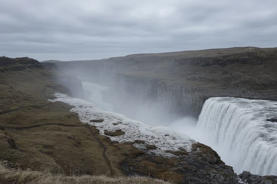 Sight · 0.5 km awayDettifoss West ViewpointEasiest access to Europe’s most powerful waterfall
 Sight · 0.5 km awayDettifossEurope’s most powerful falls, an easy walk with epic spray
 Sight · 1.8 km awayHafragilsfossThunderous canyon waterfall with big views and thin crowds
 Sight · 2.1 km awayHafragilsfoss East ViewpointQuiet cliffside overlook of Hafragilsfoss and the yawning canyon
 Sight · 2.3 km awaySelfoss (waterfall)Wide, graceful falls a short walk upstream from Dettifoss
 Sight · 14.9 km awayKirkjan (Hljóðaklettar)Domed basalt church with eerie echoes on Hljodaklettar loops
 Sight · 14.9 km awayHljóðaklettarBasalt echo rocks with rosette columns and cave acoustics
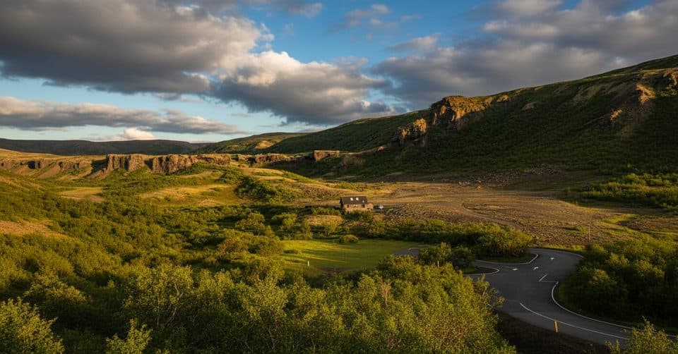 Campground · 15.1 km awayVesturdalur CampsiteSimple tent-only base beside Hljóðaklettar’s wild basalt playground
Parkwolf’s Vatnajökull ranking

The audio tour guide for the drive, plus offline maps, trails, and wildlife heatmaps for when the signal drops.