Parking
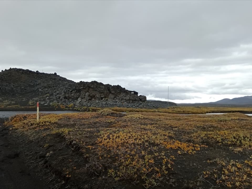
Take the southeast spur from Kverkfjallaslóð in Hvannalindir to Rústir car park at the north end of Kreppuhrygg. The park does not list lot capacity, fees or facilities.
Vatnajökull National Park
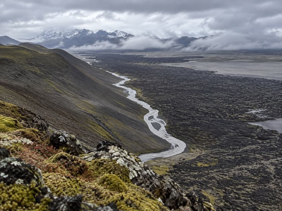
A short loop to where the Kreppa squeezes through a gorge.
Overview
Map & elevation
Plan your hike

The highest, rockiest slopes around here are a summer buffet for grizzly bears.
Vatnajökull Tour Guide
Parkwolf is a GPS audio tour guide for Vatnajökull National Park. As you drive, it chimes in with what’s ahead: hidden gems, upcoming stops, history, geology, and wildlife, right through your car’s speakers.
Recorded for this area
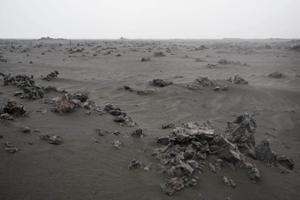
Broken Bubbles in Volcanic Ash“Volcanic ash can contain the broken walls of tiny gas bubbles. As magma rises, gas bubbles grow inside it. In an explosive eruption, expanding gas can tear that molten rock apart.”
Plays on the road 1.9 km from the trailhead in the Parkwolf Vatnajökull Tour Guide.
More stories near here in the app
“Fantastic app with many points of information… It’s great to just turn on while you’re driving and it gives you an audio tour of the national Park. We love it!!!!”


Trail guide
Kreppuþröng is a 3 km circular walk from Rústir car park, listed at about two hours and rated challenging. The route climbs to a pass, then heads east for the Kreppa, where the river runs through a very narrow channel. It is a compact highland hike with a specific payoff, but it is not a gentle stroll.
The 3 km loop goes east to the gorge. From the same pass, another walk climbs Kreppuhrygg to Valshöfði for a wide view over Hvannalindir and southeast across the Lindahraun lava field toward Kverkfjöll. That is an optional extension, and its extra distance is not published. Hvannalindir is an oasis in the otherwise sparse highland; springs rise from beneath the lava field, and angelica grows there.
From Kverkfjallaslóð in Hvannalindir, take the southeast spur road to Rústir car park at the north end of Kreppuhrygg. The lot’s capacity, fee and facilities are not listed.
Wildlife
 23 sightingsGrey SealMost seen around 5 AMSighting map
 260 sightingsHarbor SealMost seen around 11 AMSighting map
 184 sightingsCaribouMost seen around 7 PMSighting map
 62 sightingsArctic FoxMost seen around 8 PMSighting map
 169 sightingsWhooper SwanMost seen around 5 PMSighting map
 68 sightingsAtlantic PuffinMost seen around 7 PMSighting map
Sighting maps show where each species has been reported across Vatnajökull. Wildlife moves, so no sighting is guaranteed.
Keep exploring
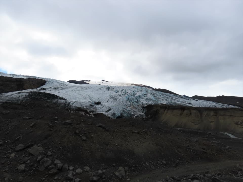 ChallengingSigurðarskáli Hut–Kverkjökull (K2)9.5 km · 5 hr · 20.8 km awayA rough highland approach to Kverkjökull’s glacier-side parking area.
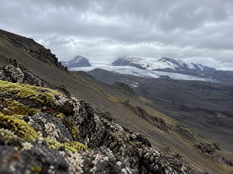 ChallengingSigurðarskáli Hut – Virkisfell Trail2.1 km · 1.5 hr · 20.9 km awayA short, steep climb for glacier, highland, and lava views.
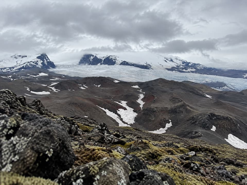 ChallengingSigurðarskáli–Biskupsfell Loop (K4)9 km · 4.5 hr · 20.9 km awayA challenging loop to Biskupsfell with views across Kverkfjöll’s ice.
Parkwolf’s Vatnajökull ranking

The audio tour guide for the drive, plus offline maps, trails, and wildlife heatmaps for when the signal drops.