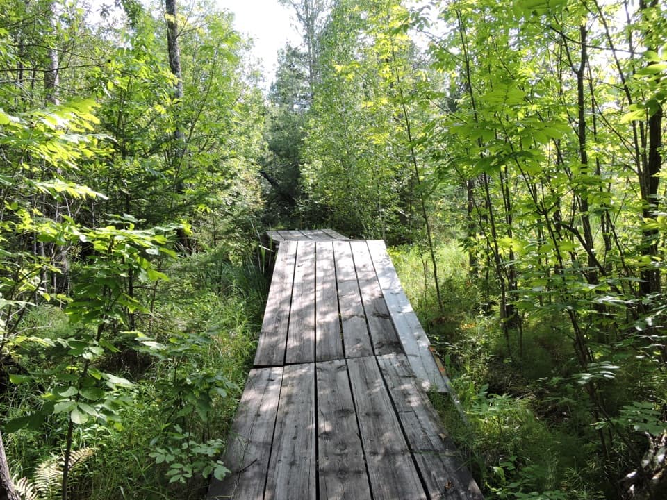
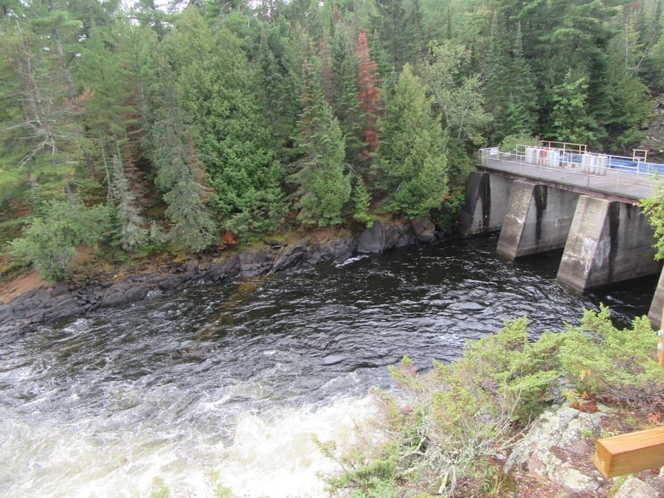
Simple facilities
The site has one picnic table, a fire ring and an outdoor privy. Day-use sites on Kabetogama Lake do not require a reservation and are for daytime use; overnight camping is not allowed here.

Picnic area · Voyageurs National Park
A sandy Kabetogama landing for picnics and a lake swim.
Overview
Map
Plan your stop

The highest, rockiest slopes around here are a summer buffet for grizzly bears.
Voyageurs Tour Guide
Parkwolf is a GPS audio tour guide for Voyageurs National Park. As you drive, it chimes in with what’s ahead: hidden gems, upcoming stops, history, geology, and wildlife, right through your car’s speakers.
More stories near here in the app
“Fantastic app with many points of information… It’s great to just turn on while you’re driving and it gives you an audio tour of the national Park. We love it!!!!”


Guide
K23 is Moxie Island's day-use landing on Kabetogama Lake, with a sandy beach for a swim and a simple pause during a boating or paddling day. There is no road access, so fit it into a water route rather than treating it as a drive-up picnic area. Bring your own food and drinking water; no on-site food or potable-water service is identified here.
The sandy landing gives you a place to come ashore and swim. A rocky outcrop on the island's north side opens a broader view across Kabetogama Lake. Its current approach is not verified, so treat it as an optional look-around rather than a marked walk.
Wildlife
 10 sightingsGray WolfMost seen around 7 PMSighting map
 12 sightingsMooseMost seen around 7 AMSighting map
 67 sightingsBald EagleMost seen around 10 AMSighting map
 79 sightingsLoonMost seen around 6 AMSighting map
 41 sightingsWhite PelicanMost seen around 8 AMSighting map
 19 sightingsTrumpeter SwanMost seen around 6 PMSighting map
Sighting maps show where each species has been reported across Voyageurs. Wildlife moves, so no sighting is guaranteed.
Keep exploring
 Sight · 0.9 mi awaySphunge Island Sledding HillTwo slopes suit younger sledders and anyone ready for steeper runs.
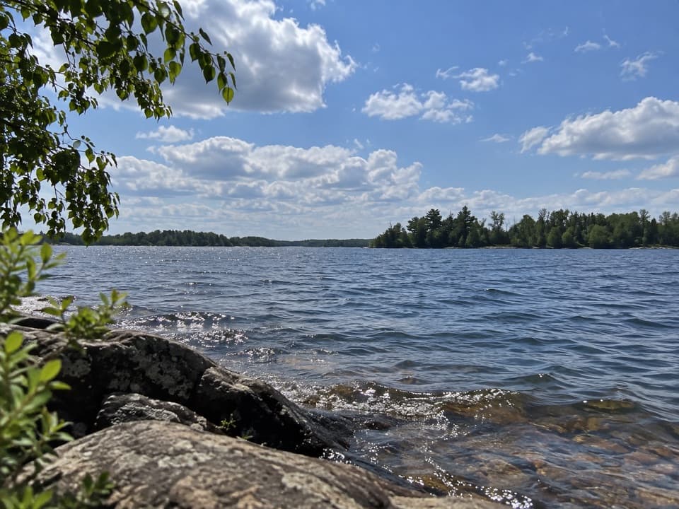 Picnic area · 1.1 mi awayMartin Island Day-Use AreaA simple picnic pause on Kabetogama's island shoreline.
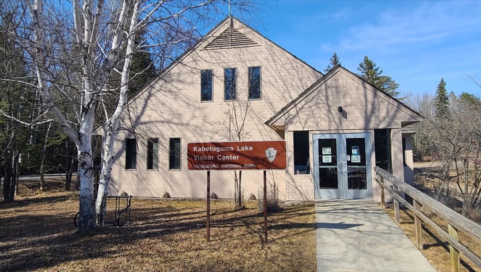 Visitor center · 2.4 mi awayKabetogama Lake Visitor CenterGet oriented before you trade the road for the lake.
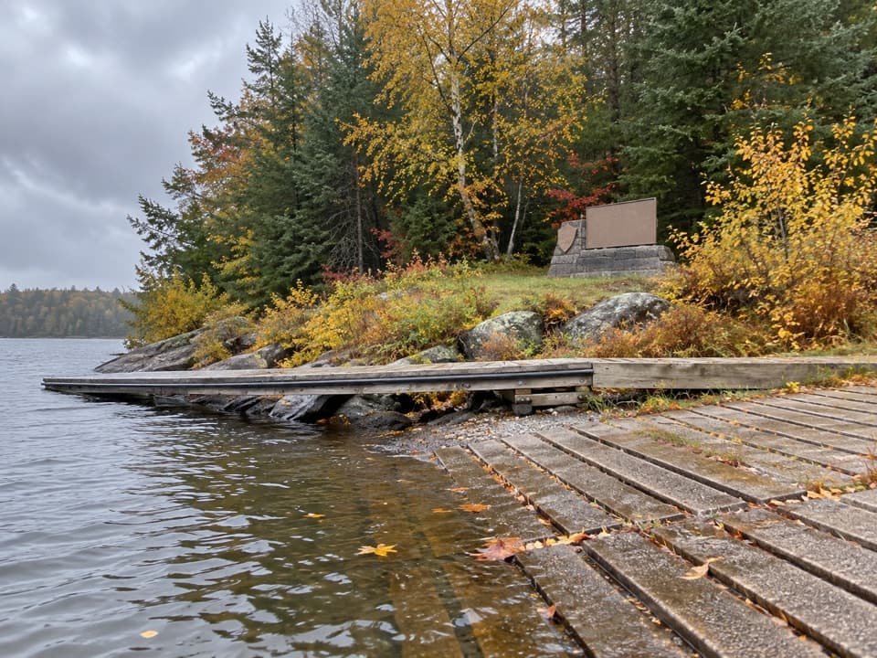 Beach · 4 mi awayShoepack BeachBreak up a boat day with a picnic on the shore.
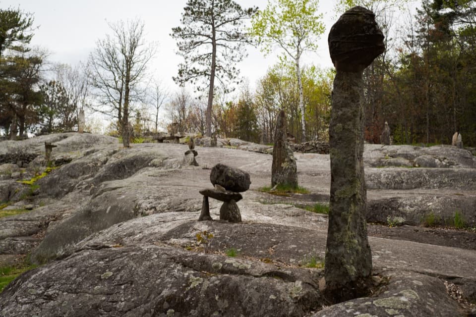 Sight · 4.3 mi awayEllsworth Rock GardensA boat-access rock garden with stone sculptures and lake views.
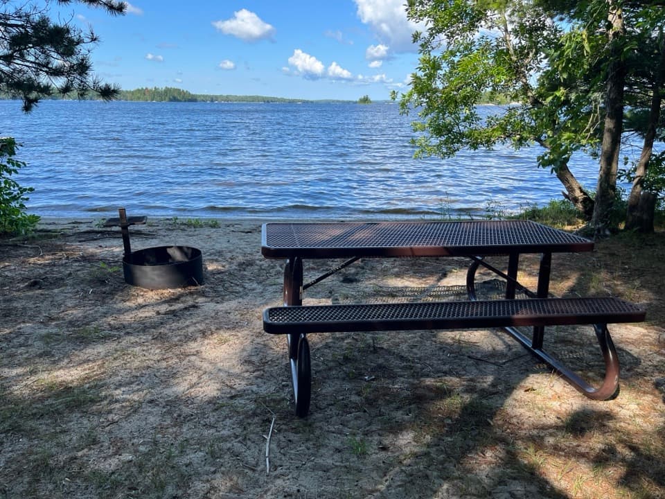 Picnic area · 4.7 mi awayRound Bear Island Day-Use AreaA sandy picnic landing for a boat break on Kabetogama Lake.
Parkwolf’s Voyageurs ranking

The audio tour guide for the drive, plus offline maps, trails, and wildlife heatmaps for when the signal drops.