Pros & cons
PROS
- Unique cross‑border Peace Park setting with new interpretive exhibits
- Remote, quiet vibe reached by scenic boat ride or hike
CONS
- Access requires a boat or long hike, with minimal services on site
- U.S. entry rules (CBP ROAM) can be confusing if you plan to explore beyond
Overview
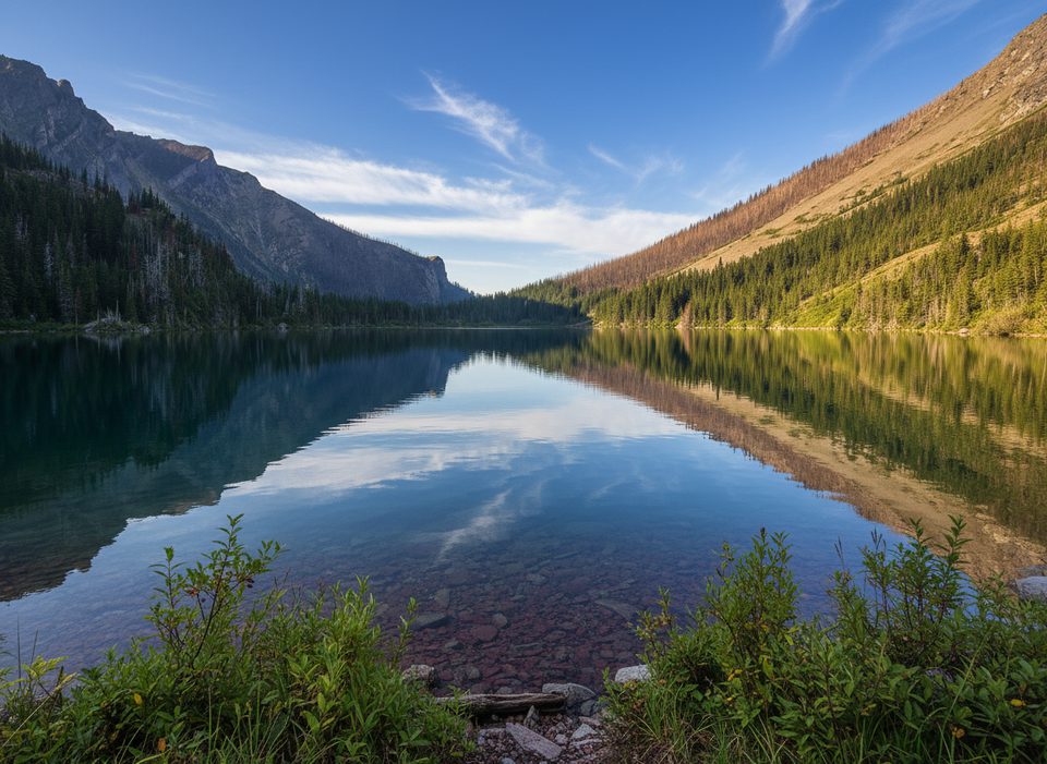
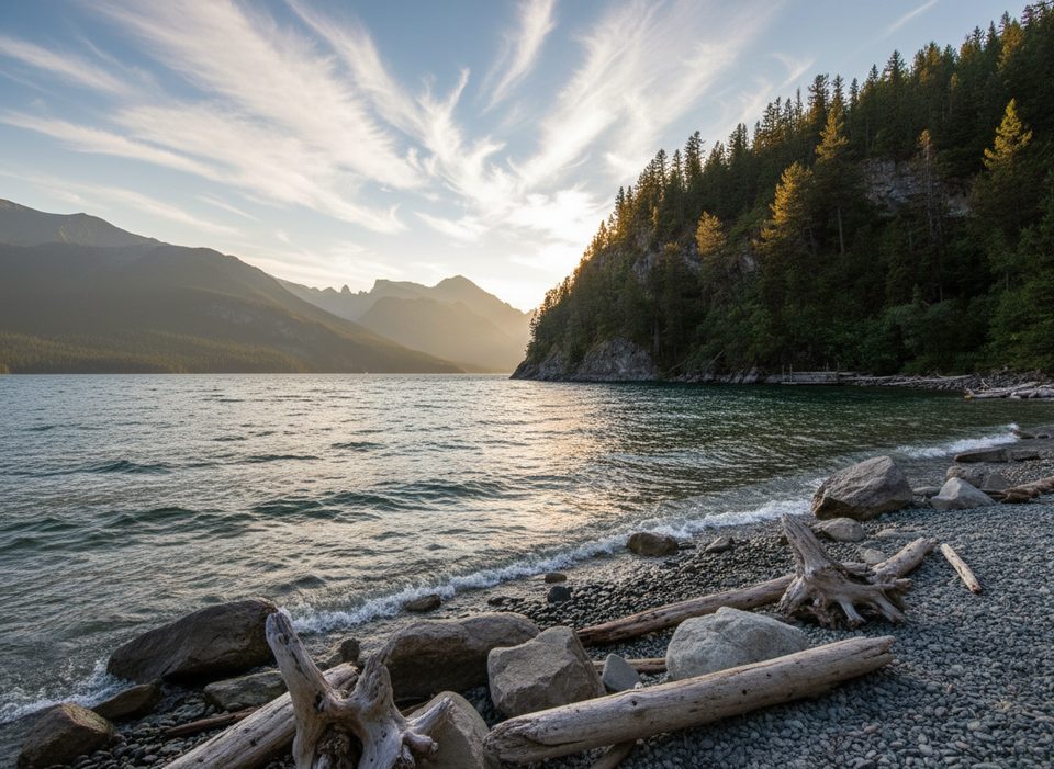
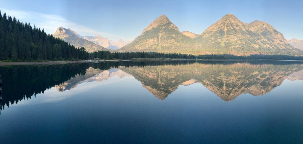
Tucked at the south end of Upper Waterton Lake, Goat Haunt Ranger Station is a tranquil, lakeside outpost that anchors the international story of the Waterton‑Glacier Peace Park. It sits on the U.S. side (Glacier National Park) but is most commonly visited from Waterton Townsite by boat or on foot. Expect big-mountain scenery, a visible border cutline in the hillsides, and a slower, more contemplative pace than the busy townsite.
Why go
If you’re into quiet corners and cool history, this spot delivers. You get the rare experience of walking from a dock through the International Peace Park shelter with exhibits—refreshed in 2024—to a working ranger station at the edge of true backcountry. It’s a great way to feel the spirit of the Peace Park without committing to a multi‑day trek.
Access and border basics
- Most visitors arrive on the Waterton shoreline cruise and stroll a paved path from the dock.
- Planning to stay longer than 30 minutes or hike beyond the ranger station on the U.S. side? You must report your entry using the CBP ROAM app (you can submit up to five hours before arriving).
- Round‑trip ferry passengers who don’t go past the ranger station and stay 30 minutes or less are exempt from ROAM reporting. Bring government ID if you’ll be heading farther south into Glacier.
What you’ll see
- The Peace Pavilion/shelter by the dock with interpretive exhibits on the international story.
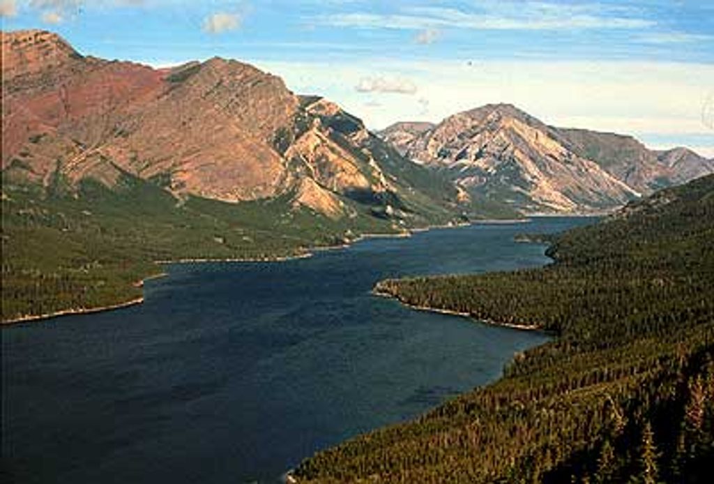
- Big views up and down Waterton Lake and the famous border cutline slicing the forest.
- A quiet ranger compound where seasonal staff work on trail work, interpretation, and backcountry operations.
Trails and routes
Goat Haunt functions as a trailhead for short wanderings and serious backcountry routes alike. You can poke around to nearby viewpoints or launch longer trips deeper into Glacier’s interior from here. It’s a hub for iconic multi‑day routes as well as mellow leg‑stretchers.
Wildlife
This valley is rich with wildlife—think mountain goats (the namesake), plus the possibility of bears, moose, and deer. Bear activity is closely monitored; follow all posted guidance. Carry bear spray and practice strict food storage.
Services and what’s not here
This is a backcountry‑flavored station: there’s a restroom, but no food, stores, or road access. Cell service is effectively nonexistent. Come self‑sufficient with snacks, layers, and anything you’ll want for a couple of hours.
Best time to visit
- Summer into early fall aligns with boat operations and seasonal staffing (the area is very quiet outside this window).
- Weekdays are typically mellow, but Goat Haunt is rarely crowded even in peak season.
- Early boats give you softer light and extra solitude along the shore and exhibits.
Where it is
48.9580, -113.8923Tips for Goat Haunt Ranger Station
- 01Complete CBP ROAM up to five hours before arrival if you’ll go past the station or stay longer than 30 minutes.
- 02Round‑trip ferry riders who don’t go past the station are exempt from ROAM reporting.
- 03Bring government ID if you plan to hike farther south into Glacier.
- 04Book the Waterton shoreline cruise in advance during peak summer.
- 05Expect no cell service; download offline maps and carry bear spray.
Amenities
Near Goat Haunt Ranger Station
All places →All trails →
0.3 mi awayGoat Haunt OverlookQuiet vantage over Upper Waterton Lake and Goat HauntScenic Viewpoint
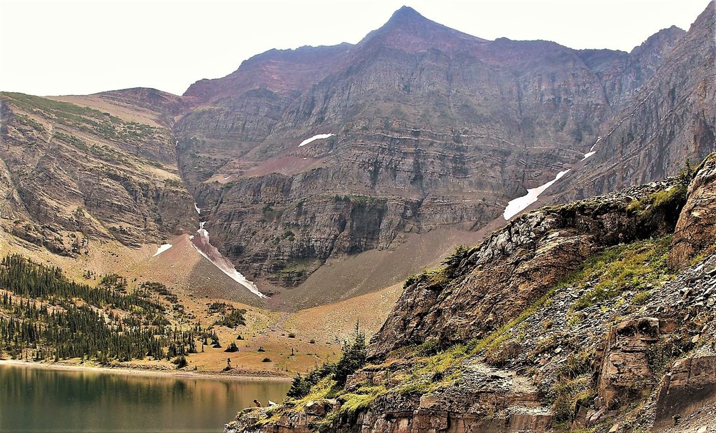
4.7 mi awayCrypt LakeThrilling boat-in hike to a turquoise cirque lake with a tunnel
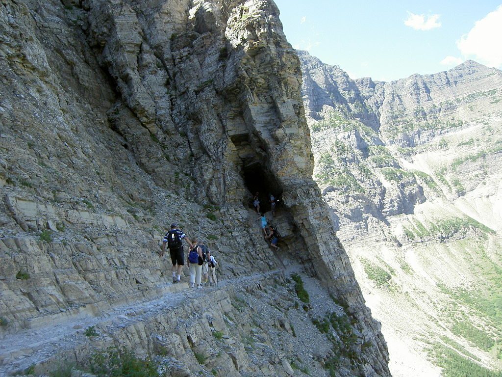
4.7 mi awayCrypt Lake TrailA boat ride, four waterfalls, and a cliffy tunnel to a turquoise cirque.Challenging · 11.4 mi · 7 hr
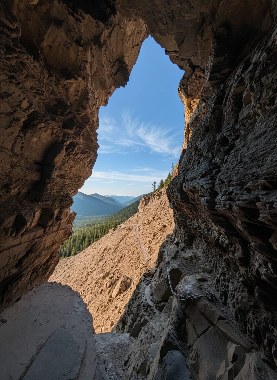
5.1 mi awayNatural TunnelA short, dark rock tunnel on a famously thrilling hike
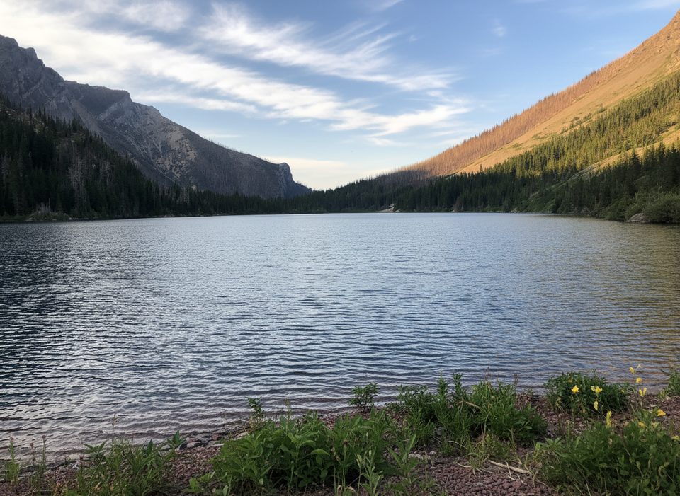
5.1 mi awayBertha LakeTurquoise alpine lake with waterfalls and a quiet backcountry campRestroom · Campground
6.3 mi awayBertha LakeWaterfalls, switchbacks, and a turquoise alpine lake from townModerate · 6.5 mi · 5 hr
6.3 mi awayLakeshore TrailBig-water shoreline walk with a unique stop at the international borderModerate · 8.5 mi · 4 hr
6.3 mi awayBertha FallsShort town-to-falls hike with big lake views and a breezy finishEasy · 3.2 mi · 1.8 hr