
Place · 0.3 mi away
Easy
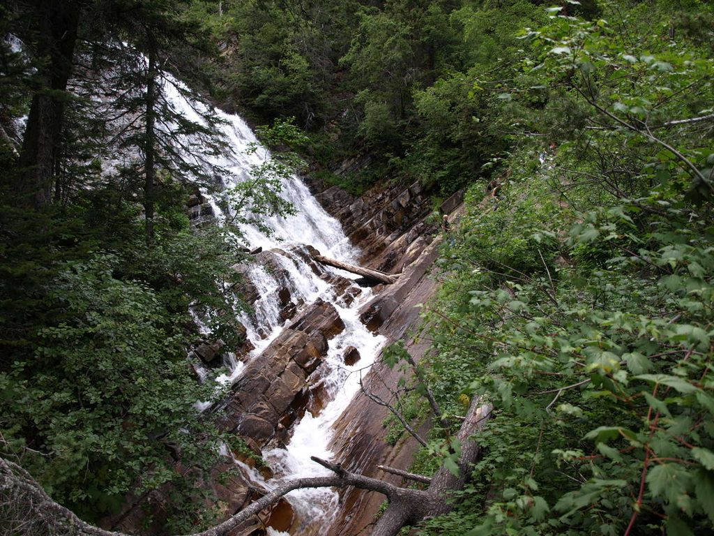
Lower Bertha Falls is one of Waterton’s best short hikes: a 3.2-mile (5.2 km) out-and-back from the townsite that strings together instant lake-and-peak views, wildfire recovery scenery, and a photogenic “bridal-veil” cascade. It’s accessible without being boring, and you can easily turn it into a bigger day to Bertha Lake if you’re feeling strong.
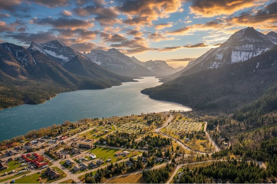
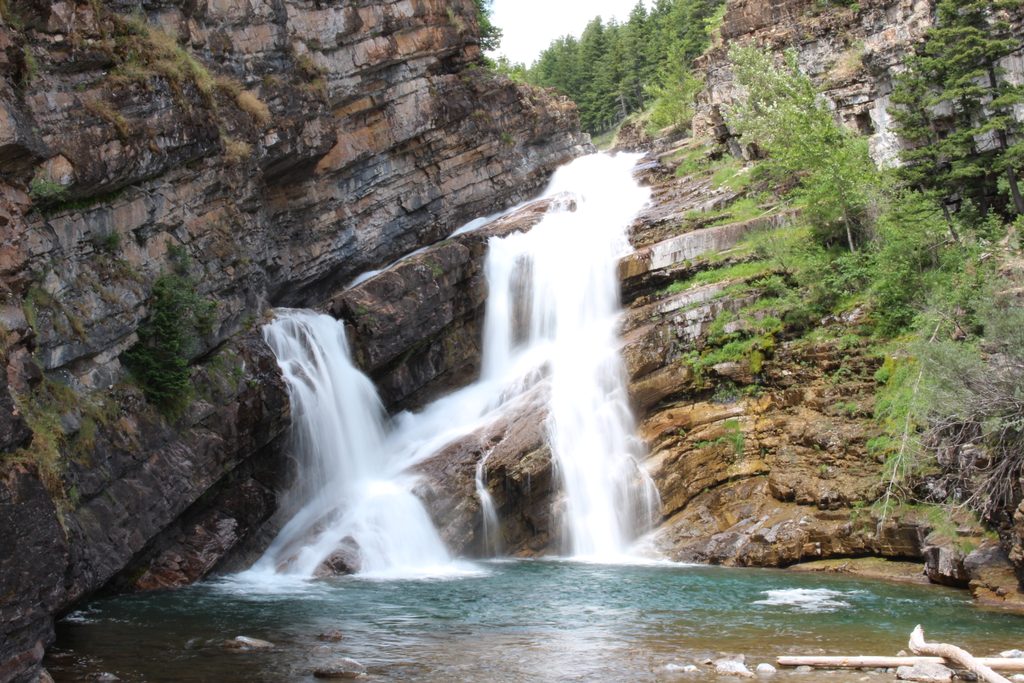
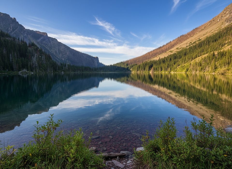
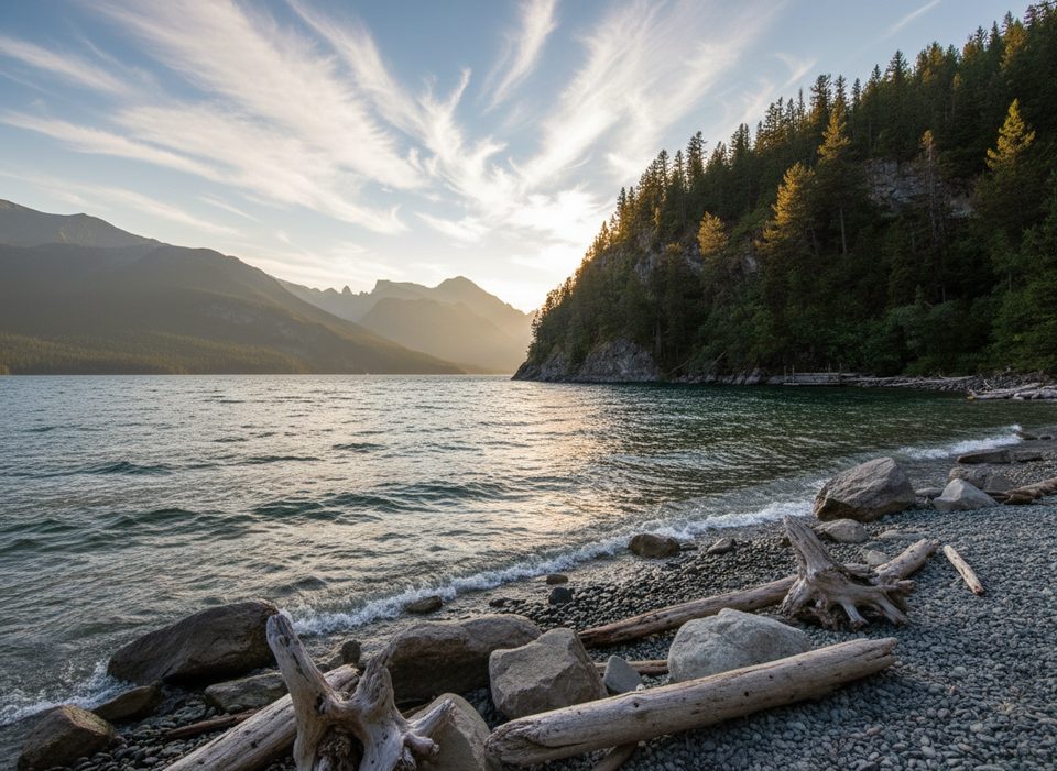
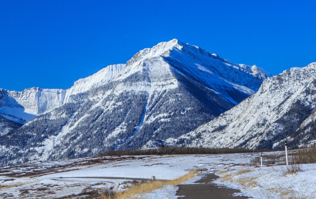
Start at the Bertha Lake Trailhead on the edge of town, just past Cameron Falls by the Townsite Campground. A few early switchbacks quickly lift you above Waterton, with wide-open looks over Upper Waterton Lake and peaks like Vimy and Mount Boswell across the water. You’ll traverse a mix of intact forest and slopes visibly shaped by the 2017 Kenow wildfire—expect vivid regrowth and wildflowers (fireweed, wild bergamot) in summer. The junction to Bertha Point offers an easy detour to one of the park’s best lake panoramas.
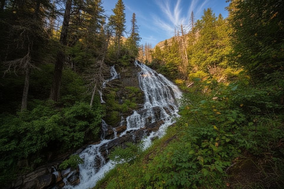
Continue inland toward the creek, where the grade stays steady on packed dirt and gravel with some rocky bits. The final approach can be slick when wet. Lower Bertha Falls drops in thin, lacy curtains into a shady nook—best viewed from the small bridge, or from nearby rock perches if you’re careful. The creek above hosts smaller cascades and calm spots to snack or cool off. Expect company: the narrow tread can feel congested during peak times.
It’s about 3.2 miles total (out-and-back) to Lower Bertha Falls with roughly 175 m (574 ft) of gain. Most hikers take 1.5–2 hours depending on stops. The trail is well-signed, with clear junctions for Bertha Point, Lower Bertha Falls, and the continuation to Bertha Lake. Strollers aren’t a good fit here.
You’re walking through a living field guide to disturbance and recovery: charred trunks, new shrubs, and blooming wildflowers are all part of the post-fire mosaic. The long lake vistas frame Waterton’s classic “wrinkly,” layered mountains, and the valley itself bears the imprint of glaciation. The creek is fed by snowmelt and rainfall from the Bertha Lake basin.
Late spring through early fall is prime. The waterfall runs strongest after snowmelt; June–August brings peak wildflowers. Summer afternoons can be hot and busy, so mornings or shoulder seasons offer a more relaxed experience.
Small signed parking at the Bertha Lake Trailhead on Evergreen Avenue, just past Cameron Falls and beside the Townsite Campground; many visitors simply walk from town.
Trail is narrow and busy; be ready to step aside. Final approach to the falls can be slippery when wet—don’t climb on the waterfall. Limited shade in summer; carry water and sun protection. Expect snow/ice in winter and early spring—use traction. Keep dogs leashed due to wildlife.
Place · 0.3 mi away
Place · 0.4 mi away
Place · 0.4 mi away
Place · 0.5 mi away
Moderate · 0 mi away
Moderate · 0 mi away
Easy · 0 mi away
Challenging · 0 mi away

Parkwolf Tour Guide
