Parking
Start at the Evergreen South parking lot, about 350 m south of Cameron Falls in Waterton townsite; this is the Bertha Trailhead access for the Lakeshore route.
Waterton Lakes National Park, AB
One way lakeshore hike from Waterton to Goat Haunt, crossing into Glacier.
Overview
Map & elevation
Plan your hike

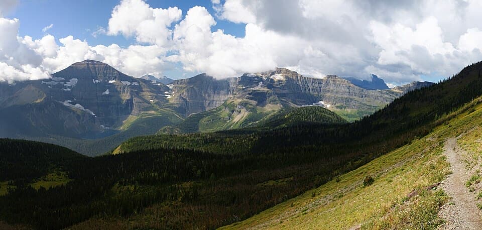
The highest, rockiest slopes around here are a summer buffet for grizzly bears.
Waterton Lakes Tour Guide
Parkwolf is a GPS audio tour guide for Waterton Lakes National Park. As you drive, it chimes in with what’s ahead: hidden gems, upcoming stops, history, geology, and wildlife, right through your car’s speakers.
See the Waterton Lakes audio tourRecorded for this trailhead
Bertha Trailhead“You’re nearing the Bertha trailhead, where I’d choose Lower Bertha Falls for a shorter hike.”
Plays as you drive up to this trailhead in the Parkwolf Waterton Lakes Tour Guide.
More stories near here in the app
“Fantastic app with many points of information… It’s great to just turn on while you’re driving and it gives you an audio tour of the national Park. We love it!!!!”


Trail guide
The Lakeshore Trail is a point-to-point hike from the Bertha Trailhead in Waterton townsite to Goat Haunt Ranger Station in Glacier National Park, following Upper Waterton Lake and crossing the international boundary. Parks Canada lists 13.5 km (8.4 mi) one way; connected mapped trail lines measure about 12.7 km, so use the longer published distance for planning. Allow about four hours of walking. This is not a loop: arrange a boat pickup at Goat Haunt or walk back for roughly 27 km round trip.
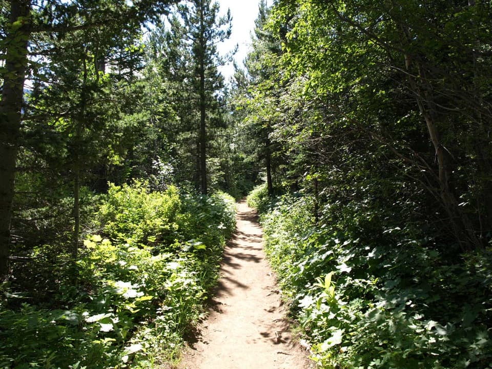
The route begins with a steady climb to a viewpoint over the lake, then drops steeply toward Bertha Bay. Just beyond the bay, a short two-stage climb over rock beneath an overhang has the trickiest footing. After that, expect smaller rises and dips through forest beside the water, with several beaches and places to reach the shore on the Canadian side.
The international boundary comes roughly halfway through the lakeshore walk. South of it, thick vegetation can close in and the trail offers fewer openings to the water. The route continues to Goat Haunt Ranger Station; a paved path leads to the International Peace Park shelter, and the station has drinking water and restrooms. No food service is listed there, so carry what you need for the walk.
A boat back to Waterton avoids retracing the full trail, but the Goat Haunt landing is seasonal and weather-dependent; arrange a one-way pickup and verify service for your date before starting. Hikers crossing into the United States need a valid passport, must report entry through CBP ROAM on the crossing day, and must report their return to Canada under current CBSA instructions. Dogs may be leashed on the Canadian section, but Glacier National Park prohibits pets on trails, so pets cannot accompany the full crossing.
Use the Evergreen South parking lot, about 350 m south of Cameron Falls. The Bertha trailhead lies in an avalanche path; check the current Bertha-Townsite advisory before setting out. If staying overnight, reserve a backcountry site at Bertha Bay or Boundary Bay.
Built in 1911, the Lakeshore was Waterton's first hiking trail. Its cross-border route now links two sides of the Waterton-Glacier International Peace Park, established in 1932; the first formal ranger-led Peace Park hike took place in 1978.
Wildlife
 83 sightingsBisonMost seen around 7 PMSighting map
 563 sightingsBlack BearMost seen around 6 PMSighting map
 146 sightingsElkMost seen around 7 PMSighting map
 113 sightingsBighorn SheepMost seen around 7 PMSighting map
 55 sightingsBald EagleMost seen around 9 AMSighting map
 53 sightingsTrumpeter SwanMost seen around 6 PMSighting map
Sighting maps show where each species has been reported across Waterton Lakes. Wildlife moves, so no sighting is guaranteed.
Keep exploring
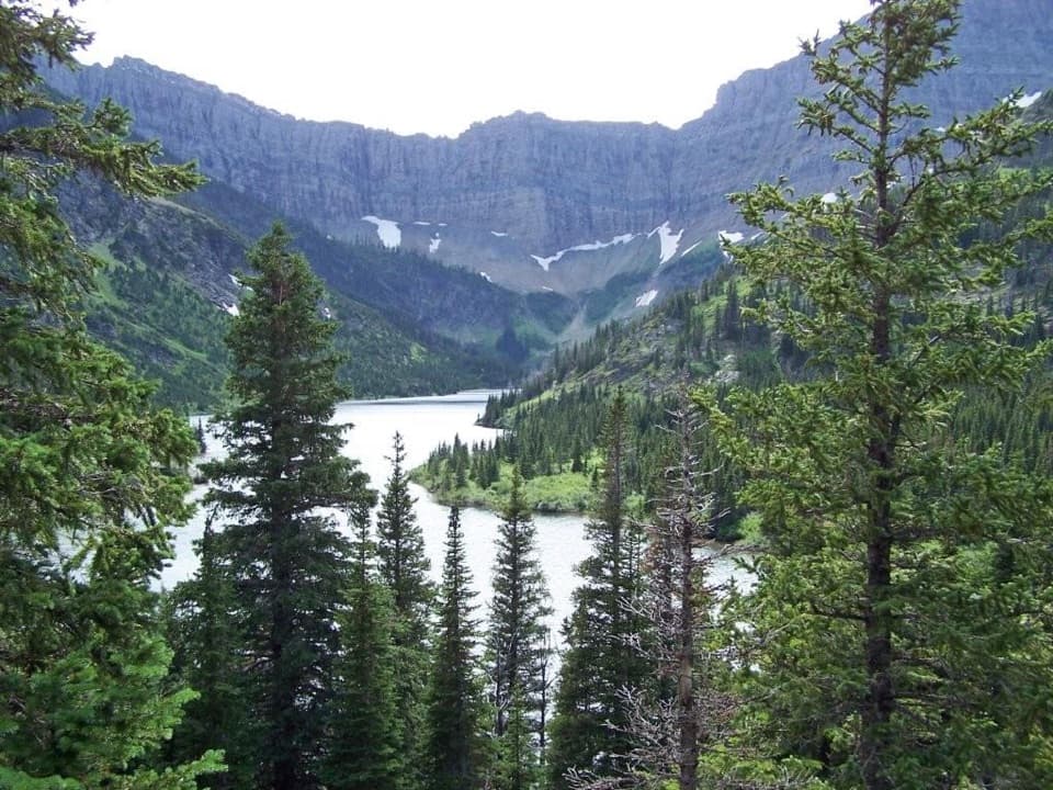 ModerateBertha Lake Trail10.3 km · 4.5 hr · At the trailheadA waterfall warm-up before the climb to Bertha Lake.
 ModerateLower Bertha Falls Trail5.1 km · 1.5 hr · At the trailheadA short waterfall hike with a big view of Waterton Lake.
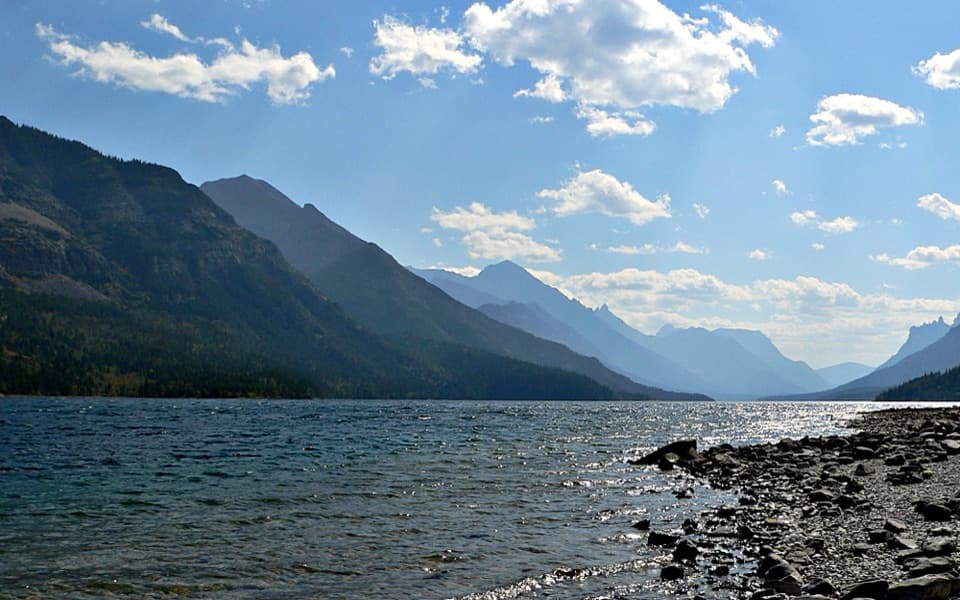 EasyTownsite Loop3.2 km · 1 hr · 0.5 km awayA gentle paved loop links Cameron Falls, the village, and lakeshore.
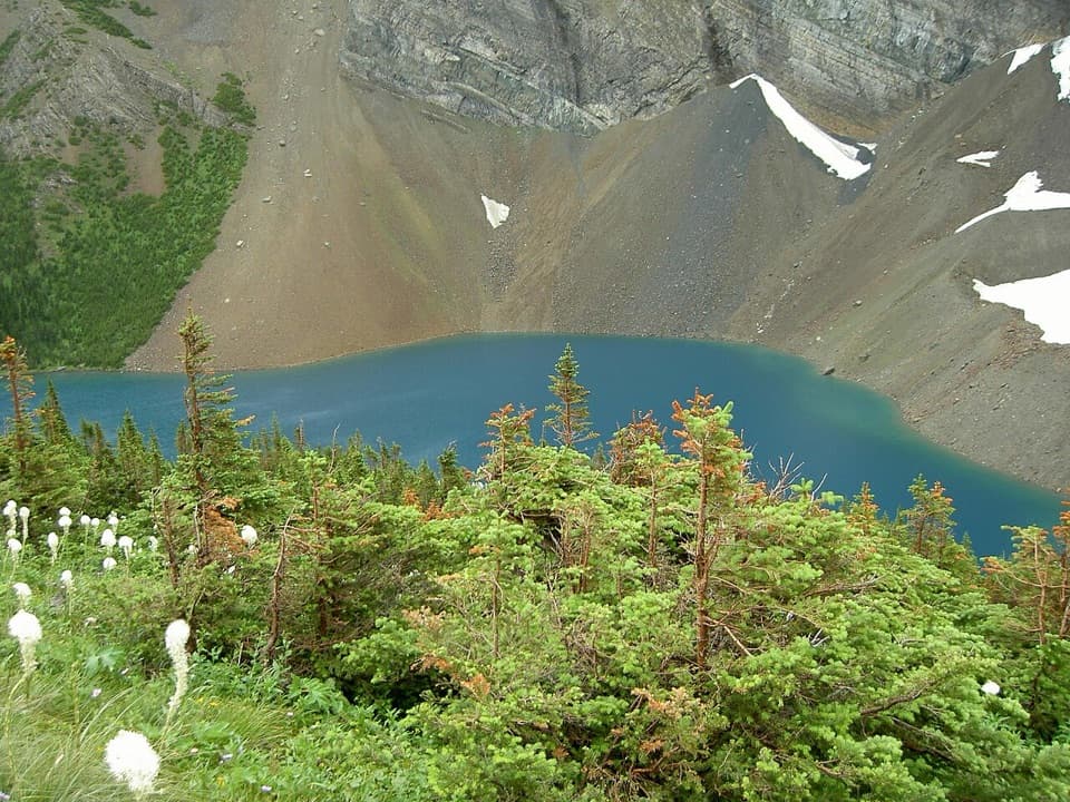 ChallengingAlderson Lake Trail14 km · 5.5 hr · 0.5 km awayA forest climb ends at a blue lake beneath Mount Alderson's cliffs.
 ModerateCrandell Lake-Townsite Trail12.4 km · 4 hr · 0.8 km awayA steady climb from town through renewing forest to a lake.
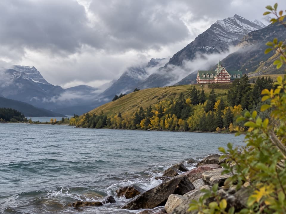 EasyPrince of Wales Loop2 km · 45 min · 1.4 km awayA short circuit below the historic hotel, with two lakes in view.
 ModerateBear’s Hump Trail2.9 km · 1 hr · 1.7 km awayThe short, steep climb to Waterton’s broad town-and-lake panorama.
 EasyLinnet Lake Loop1 km · 20 min · 2 km awayA paved 20-minute loop with lakeside views and interpretive stops.
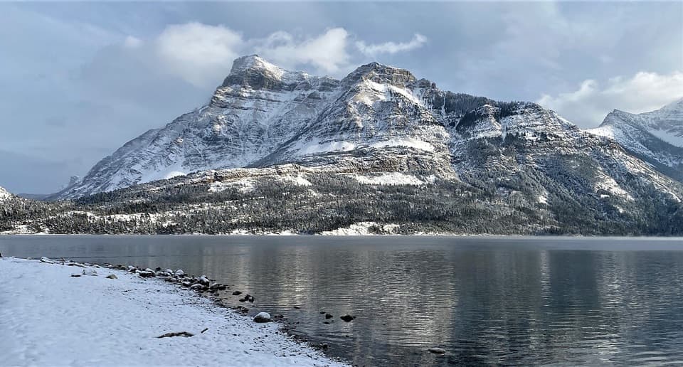 Picnic area · 0.3 km awayCameron Bay Day Use AreaA lakeshore picnic stop with shelters and night-sky viewing.
 Lodging · 0.3 km awayNorthland LodgeA nine-room inn for muffin breakfasts and mountain-view mornings.
 Campground · 0.4 km awayTownsite CampgroundA large RV and tent campground within walking distance of town.
 Sight · 0.5 km awayCameron FallsSee a close-up waterfall over 1.6-billion-year-old rock.
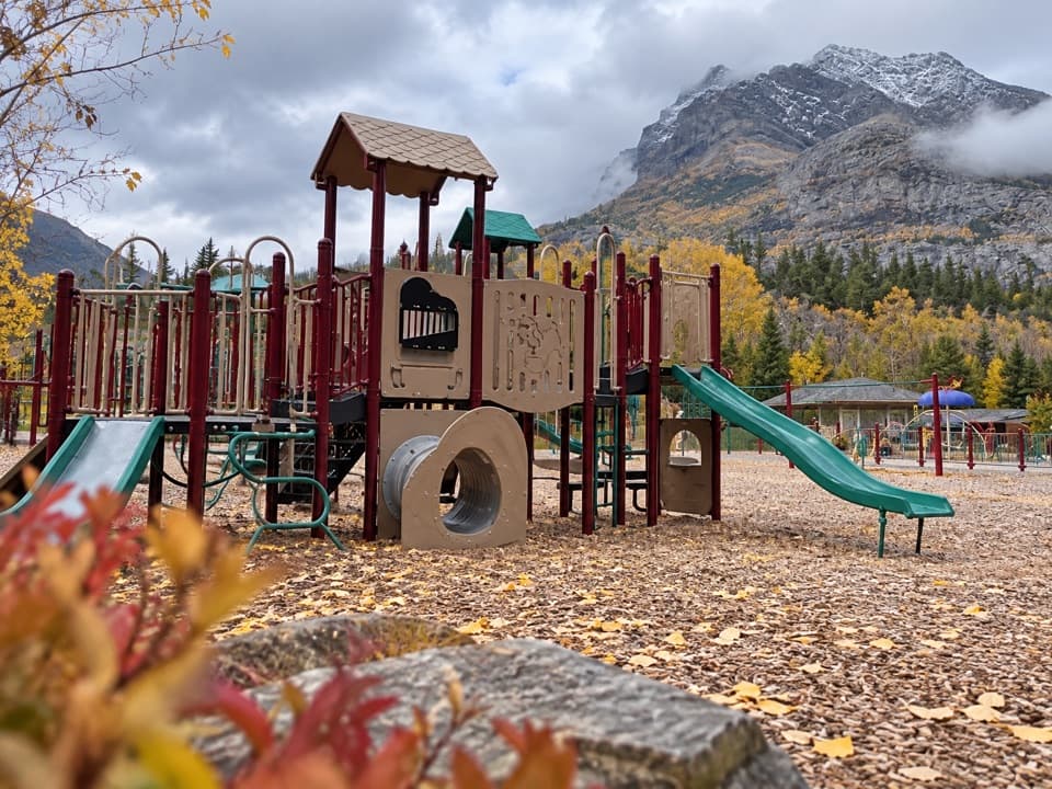 Sight · 0.6 km awayWaterton Community PlaygroundTwo age-group play areas make this an easy family reset.
 Visitor center · 0.7 km awayWaterton Lakes Visitor CentreGet trail updates, then explore Blackfoot-focused exhibits.
 Picnic area · 0.7 km awayLakeshore Day Use AreaAn easy picnic beside Upper Waterton Lake, just outside town.
 Store · 0.7 km awayWelch’s Chocolate ShopNostalgic sweets, ice cream, and a jumbo cinnamon bun.
Parkwolf’s Waterton Lakes ranking

The audio tour guide for the drive, plus offline maps, trails, and wildlife heatmaps for when the signal drops.