
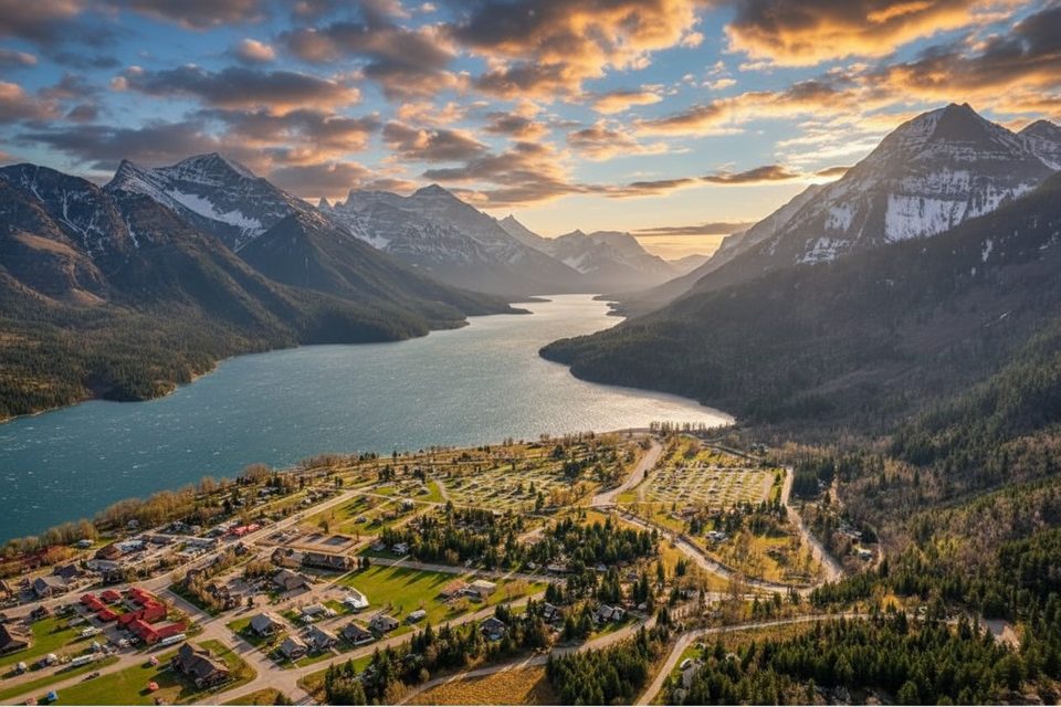
Place · 0.3 mi away
Challenging
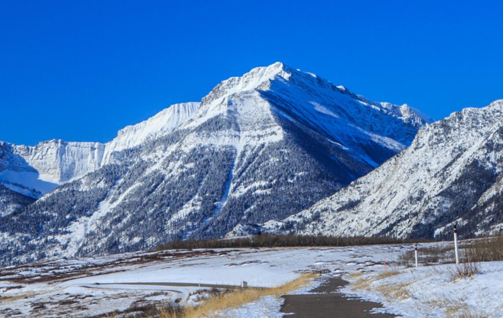
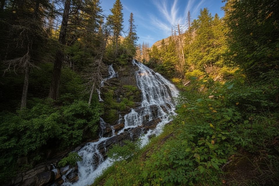
If you like a little type-2 fun with your scenery, Bertha Peak delivers. You’ll start on a civilized trail from the Waterton townsite, pass photogenic waterfalls, and reach beautiful Bertha Lake—then the mood shifts to a rugged, choose-your-own-line scramble up to a wide-open ridge with huge views of Waterton Lakes and the surrounding peaks. It’s a crowd-pleaser to the lake and a true adventure above it.
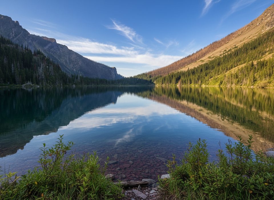
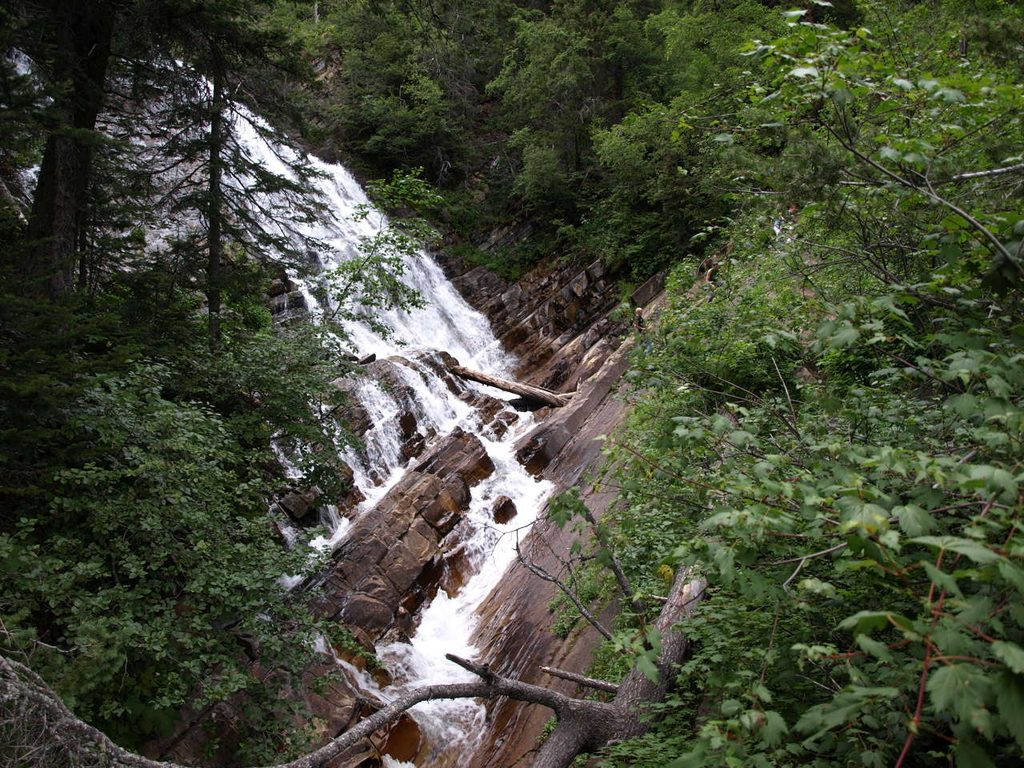
From the Bertha Lake Trailhead in town, the well-built path climbs past Lower (and then Upper) Bertha Falls through subalpine forest. Expect 21 steady switchbacks before the trail eases at Bertha Lake, a turquoise bowl backed by cliffs with Mount Alderson and Mount Richards looming nearby. The shoreline pops with colorful argillite, and the water is crystal clear (and very cold).
To reach the summit, continue counterclockwise around the lake past the campground and leave the maintained trail. The ascent is a scramble on rocky slopes and gullies with route-finding required. Staying right of the waterfall tends to offer more solid rock; the left-side line is easier angled but looser with more scree. The ridge to the top is broad and airy with sweeping, uninterrupted views.
Total distance to the summit is roughly 13–15.5 km (about 8–9.6 miles) round trip, out-and-back, from the townsite trailhead. If you’re only going to the lake, it’s about 10.5 km (6.5 miles) round trip; to Lower Bertha Falls alone it’s roughly 5.3 km (3.3 miles) round trip.
This is classic Waterton: waterfalls, a jewel-toned cirque lake, and layered sedimentary cliffs dating back to Precambrian–Jurassic time. Summer brings wildflowers and striking contrasts of post-fire regrowth from the 2017 Kenow wildfire alongside surviving forest. Above the lake, the landscape opens quickly—great for views, less great when Waterton’s notorious winds pick up.
Plan on about 7 hours round trip to the summit, faster if you’re dialed on off-trail travel. The maintained trail to Bertha Lake is moderate and popular; beyond the lake it’s strenuous, unmaintained, and demands confident scrambling and route-finding.
Late June through early October is the sweet spot when most snow has melted and flowers are out. Early season can still hold snow near the lake and on upper slopes. Winter and spring are a no-go for most hikers due to snow and avalanche hazards. Start early on weekends if you want quieter trail time to the lake and more breathing room on the scramble.
Wear real boots and bring layers—the wind on the ridge can be fierce. This is prime bear country; carry bear spray and know how to use it. Above the lake, cairns are sparse and lines braid—download a track if that helps, but expect to make your own decisions. Dogs are allowed on leash; consider their paws and comfort with loose rock and exposure beyond the lake. No special permit is needed for day hiking (standard park entry pass applies).
Park at the Bertha Lake Trailhead in the Waterton townsite and start from there.
Beyond Bertha Lake the route is an unmaintained scramble with loose rock and route-finding; strong winds are common on the ridge; lingering snow can persist into early summer; winter/spring present avalanche hazards; carry bear spray and give wildlife space.
Place · 0.3 mi away
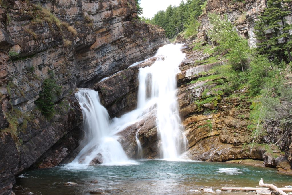
Place · 0.4 mi away
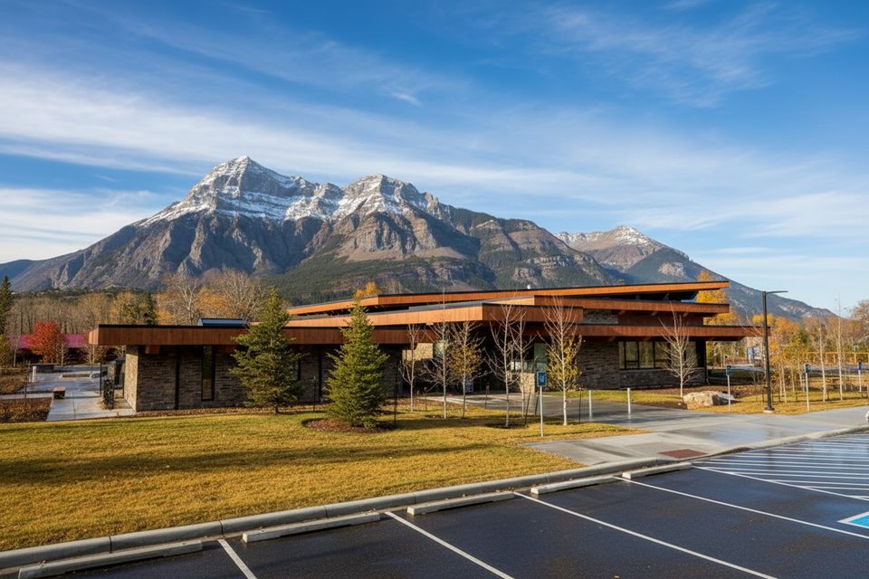
Place · 0.4 mi away
Place · 0.5 mi away
Moderate · 0 mi away
Moderate · 0 mi away
Easy · 0 mi away
Easy · 0 mi away

Parkwolf Tour Guide
