
Place · 0 mi away
Challenging
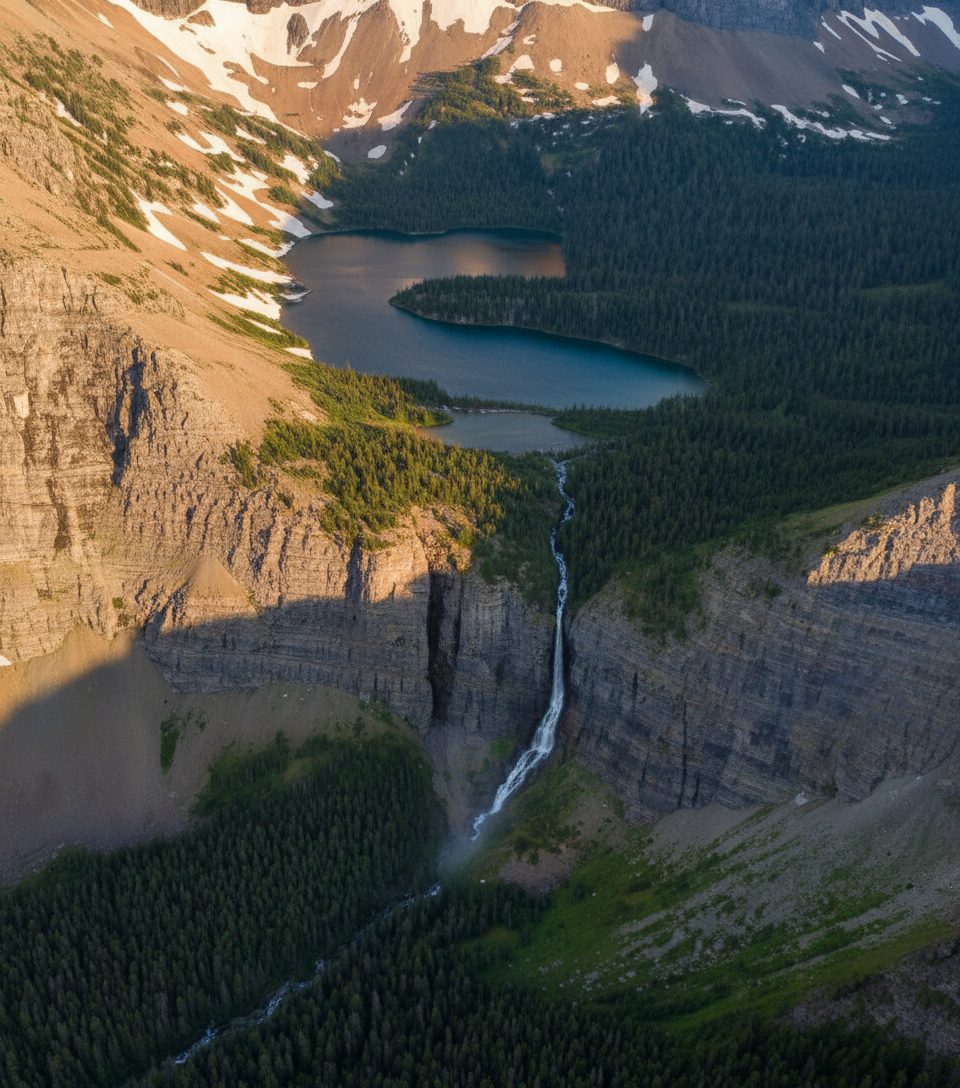
Mount Dungarvan is not a maintained trail—it’s a true scramble. From a picnic/day‑use pullout on the Akamina Parkway, you head up a creek/river bottom, then climb steep open slopes into rocky terrain. Expect bushwhacking, side‑hilling, and hands‑on movement near the top. The payoff is a lonely summit with sweeping views over Waterton’s peaks, including Mount Blakiston, Mount Lineham, Ruby Ridge, Buchanan Ridge, and Bertha Peak.
Plan on roughly 7–11 miles (11–18 km) round trip TOTAL, depending on the exact line you choose, with a big, sustained climb. Most parties take 6–9 hours. This is a route, not a signed path—treat it like backcountry travel.
Follow the drainage upstream from the picnic area. You’ll pass forks in the creek; the second fork is a useful waypoint. A “very good” game trail often begins near open grasses by the first fork, but it’s intermittent—expect to lose it. Flooding has altered the river bottom in the past, so the easiest line can change year to year. Lower down you’ll deal with brush and deadfall; higher up it turns into loose rock, scree, and a hands‑on scramble through a striking set of basalt pinnacles near the summit.
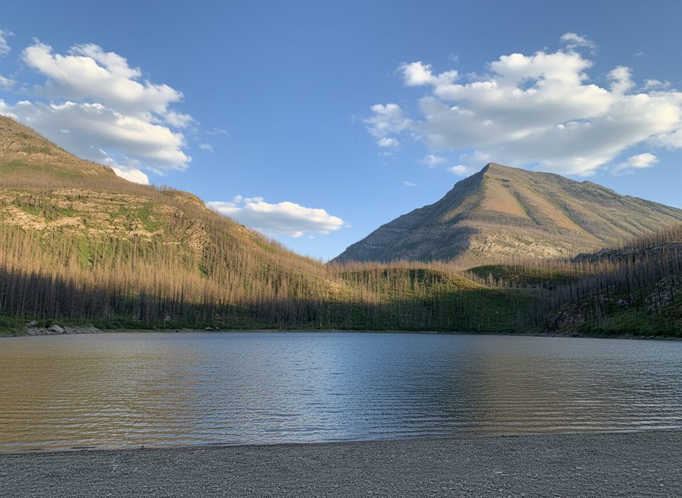
The route transitions from forest and grassland to open meadows and then into scree and blocky ridges. The mountain is built from ancient sedimentary layers, capped by dramatic basalt pinnacles that make the upper scrambling memorable. Keep an eye out for deer and bighorn sheep on the lower approach, and be bear‑aware—this is grizzly country. Summer brings colorful alpine wildflowers and plenty of birdlife.
If you enjoy off‑trail navigation and don’t mind getting scratched up by brush or picking your way through loose slopes, Dungarvan delivers solitude and big‑mountain energy. If you prefer a signed, maintained path, pick a different Waterton objective—this one is unapologetically rugged.
July–September is the sweet spot. Snow lingers into late spring and returns early in fall, complicating the scrambling and making the creek approaches cold and unpleasant. Winter is not recommended due to avalanche hazard and deep snow.
Park at the picnic/day‑use pullout along Akamina Parkway where the drainage meets the road; the route begins up the creek/river bottom. There is no signed trailhead.
Unmarked route with bushwhacking, deadfall, and creek forks; flooding can change the river bottom year to year. Upper mountain has loose scree, exposure around basalt pinnacles, and fast‑changing weather. This is active grizzly habitat—carry bear spray.
Place · 0 mi away
Place · 0.7 mi away
Place · 1.6 mi away
Place · 1.6 mi away
Challenging · 0 mi away
Moderate · 0 mi away
Challenging · 0 mi away
Easy · 2.6 mi away

Parkwolf Tour Guide
