
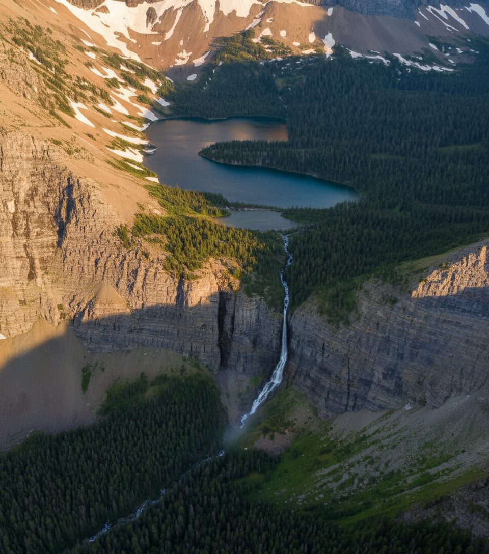
Place · 0 mi away
Challenging
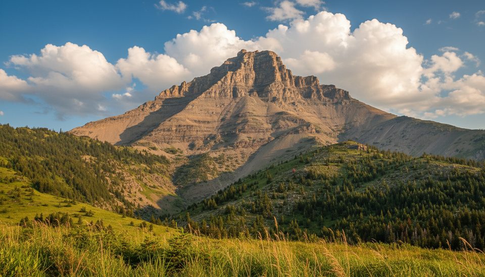
Mount Galwey is a classic Waterton scramble: short on mileage, big on effort, and huge on payoff. Expect 7.2 km (4.4 miles) total out-and-back with roughly 900–960 m of steep gain, taking most parties 4–6 hours. It’s regularly called the “easiest difficult” scramble in the park—translation: not for beginners, but a great first serious scramble if you’ve got solid footing and a head for exposure.
The route starts from an unsigned pullout/picnic spot along Akamina Parkway and wastes no time climbing. A clear user path leads up a spur to the ridge, then traverses scree on the southwest face toward a rocky gully. You’ll hit a short crux on small ledges (hands required) and pass a neat “window” feature before some choose-your-line route-finding to gain the summit ridge. From up top, the views are the show: a dramatic sweep from open prairies into the jagged Waterton peaks.
This is not a maintained, waymarked trail—think scrambler’s objective. The surface shifts from dirt to loose scree and blocky ledges. Wear real boots with grip, bring layers for sudden wind and weather, and pack all your water (none on route). Navigation is generally straightforward early on but gets vague near the top; a map, GPS, or preloaded track helps.
Best time to hike: late June through September. Snow can linger in gullies into early summer and make the crux and upper slopes sketchy. Early fall is fantastic for cooler temps and clear air, but days are shorter. Winter and early spring are only for those with snow skills and avalanche awareness—access on Akamina Parkway can also be impacted by snow.
Why pick Galwey? The prairie-to-peak contrast is uniquely Waterton, and the summit delivers oversized views for a half-day outing. If you want a signed, family-style walk, skip this one. If you want a hands-on ridge day without technical climbing, it’s a keeper.
Tips
Context: You’re traveling through layered sedimentary rock typical of the Rockies and the traditional territories of the Blackfoot, Tsuu T’ina, and Ktunaxa First Nations—treat the place with care.
Small, unsigned pullout/picnic spot along Akamina Parkway; no formal lot or signage. Arrive early to secure space and identify the user path leaving the roadside.
Not a maintained trail. Hands-on scrambling with exposure, loose scree, and a short crux on ledges. Snow can linger in gullies into early summer. Weather shifts fast; strong winds are common. No water on route. Akamina Parkway access may be affected by winter conditions.
Place · 0 mi away
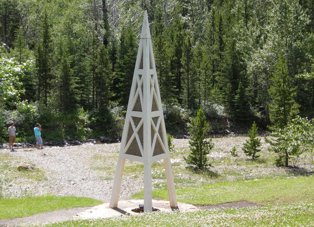
Place · 0.7 mi away
Place · 1.6 mi away
Place · 1.6 mi away
Challenging · 0 mi away
Moderate · 0 mi away
Challenging · 0 mi away
Easy · 2.6 mi away

Parkwolf Tour Guide
