
Place · 0 mi away
Challenging
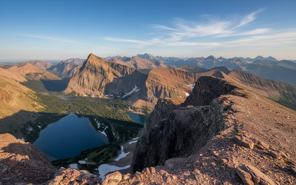
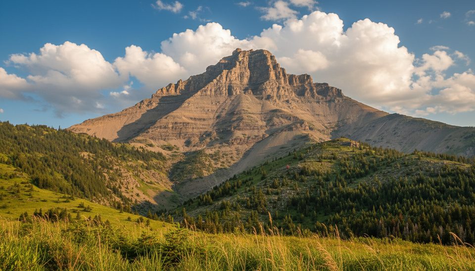
If you’re chasing one of Waterton’s most rewarding ridge walks, this is it. The route climbs from forest to meadows and then breaks into big alpine on Lineham Ridge, right beside Mount Lineham. It’s a demanding day with major elevation and long mileage, but the payoff is sweeping, 360-degree vistas and those signature red-and-pink “rainbow” slopes.
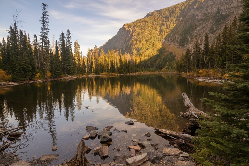
Start at the Rowe Lakes Trailhead along Akamina Parkway (about 10.5–11 km from town). Follow the Rowe Lakes trail through cool conifer forest to Rowe Meadow (roughly 5 km). At the meadow, cross the creek and take the signed junction toward Lineham Ridge. A short, steeper forested burst leads you above treeline, where the trail traverses the headwall of Rowe Valley in a long arc before switchbacks carry you to the ridge crest. The core Lineham Ridge hike is about 17.2 km (10.7 miles) total out-and-back; expect 5.5–6.5 hours for the ridge itself. You can add Upper Rowe Lakes (plan another 1.5–2 hours) or, for experienced scramblers only, continue along the ridge to tackle the unmarked Mount Lineham summit.
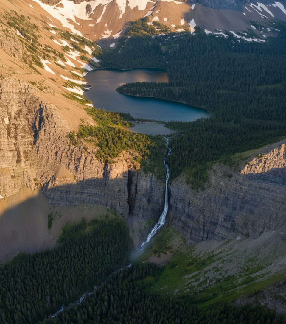
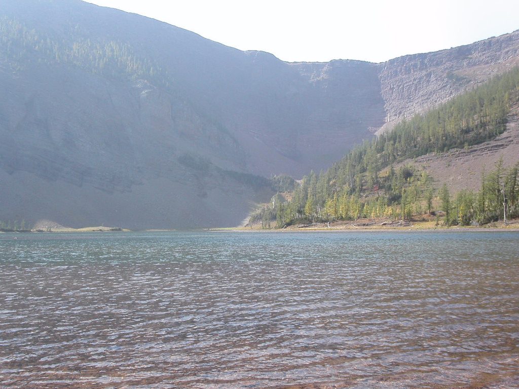
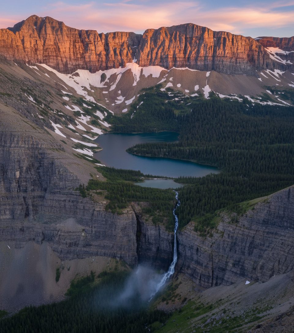
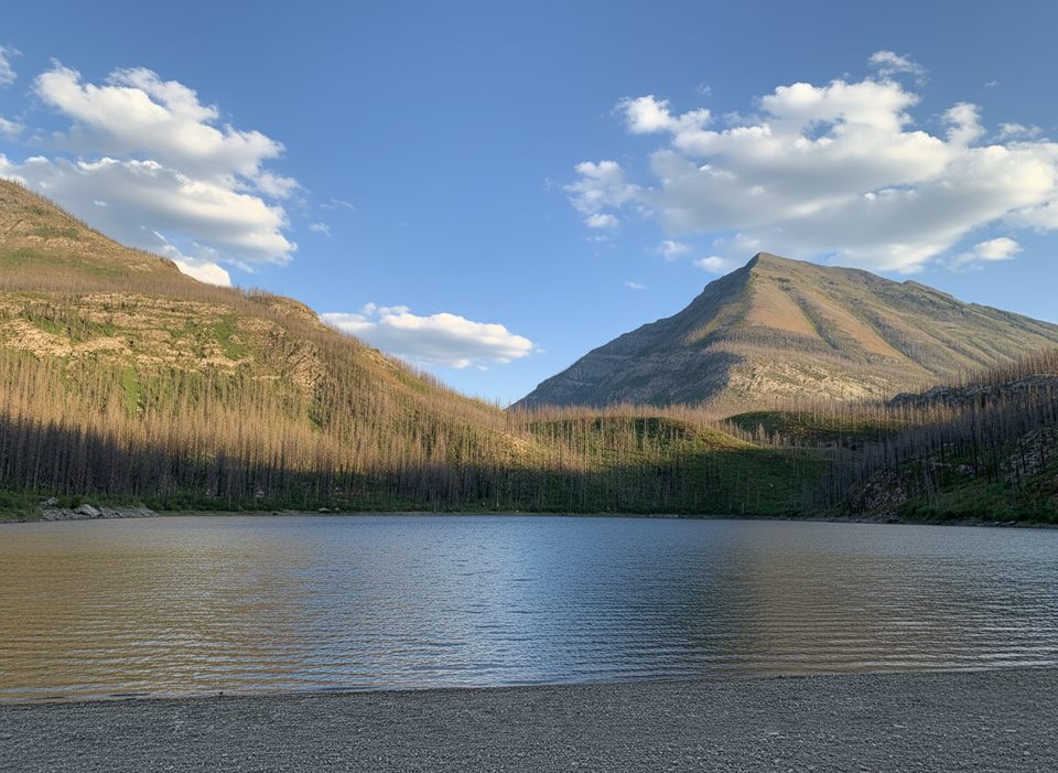
This route packs in a full cross-section of Waterton’s ecosystems—dense forest, flower-filled meadows in summer, and open alpine. The ridge and surrounding slopes are streaked with striking red and pink sedimentary rock, a hallmark of the park’s geology. You’ll look down on the Rowe Valley headwall and out to multiple Waterton basins; Lineham Falls is visible from the area as a dramatic ribbon plunging from a hanging valley.
Make no mistake: this is a difficult hike due to length, elevation gain (roughly 960–1200 m/3,150–3,900 ft depending on how far you go), and exposure to wind above treeline. The summit of Mount Lineham itself requires an easy scramble from the ridge and is not on a maintained trail. Confident, fit hikers will love the variety and the views; beginners should consider turning around at the ridge or opting for Rowe Lakes instead.
Aim for July through September. Snow lingers into early summer and can return early in fall. Start early for cooler temps, steadier weather, and a better shot at parking. Midday can be hot and there’s little shade once you’re above treeline, and the ridge is notoriously windy.
Park at the Rowe Lakes Trailhead on Akamina Parkway (about 10.5–11 km from town). The lot is limited and fills early.
Difficult, long day with 960–1200 m of gain; exposed to strong wind above treeline. Snow lingers outside July–September. Bear country—carry spray and stay alert. Creek crossing and a key signed junction at Rowe Meadow; summit is an unmarked scramble. Check Parks Canada for closures.
Place · 0 mi away
Place · 0.7 mi away
Place · 1.6 mi away
Place · 1.6 mi away
Moderate · 0 mi away
Challenging · 0 mi away
Challenging · 0 mi away
Easy · 2.6 mi away

Parkwolf Tour Guide
