
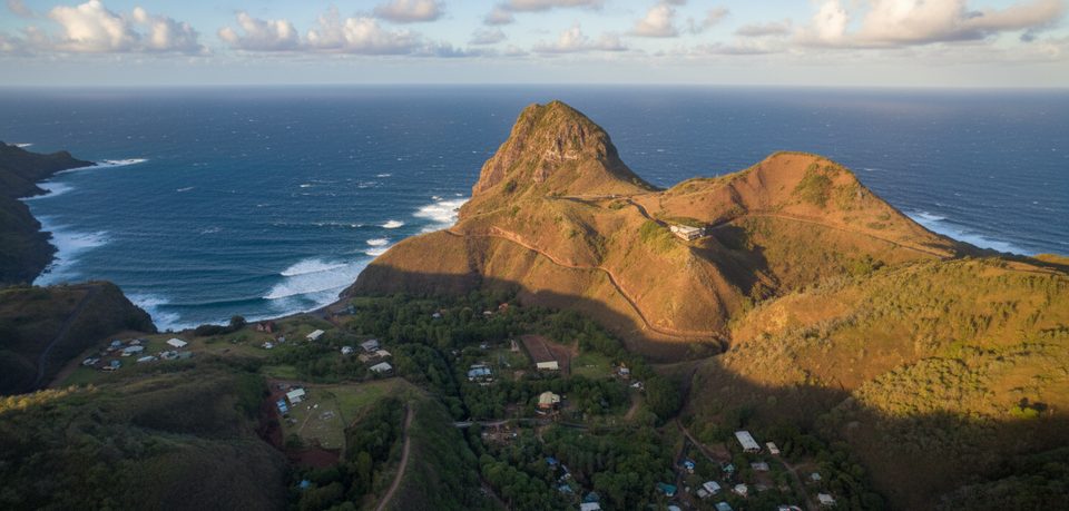
Place · 3.4 mi away
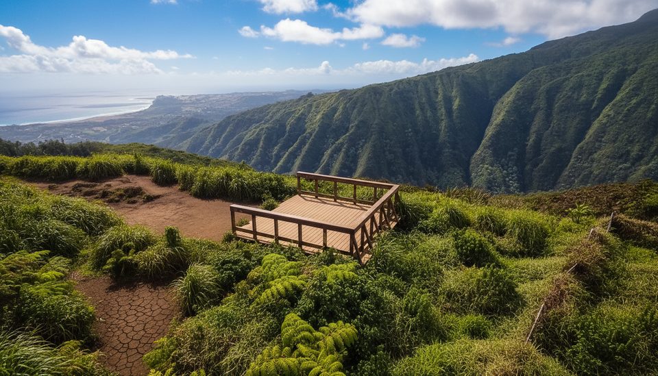
This is the high point of the Waiheʻe Ridge Trail, a breezy perch above Waiheʻe Valley where, on a clear day, you can scan the Pacific, Haleakalā’s silhouette, and distant waterfalls. A small wooden platform and picnic table make it a natural spot to catch your breath and soak it in.
Reaching the summit means committing to the full ridge hike: roughly 4.2–5 miles round-trip with about 1,600 feet of climbing. Expect a steep paved ramp right out of the parking area, then a well-marked dirt path with switchbacks, steps, and sections that turn muddy after rain. Many hikers find the descent trickier than the climb. If you’re short on time or weather turns, excellent viewpoints sit around 0.6–0.75 miles up the trail.
This ridge catches weather. Wind is common, clouds build through late morning, and recent rain means mud—especially near the top. Bring grippy footwear and consider trekking poles. There’s no water on the trail and no facilities at the summit.
You’ll pass through a mix of non-native and native plants—ferns, orchids, ʻohiʻa, kukui, and eucalyptus among them—as the forest shifts with elevation. Birdlife can include Japanese bush-warblers, common myna, and Hawaiian honeycreepers like the ʻamakihi. The lower section crosses private ranch land where cattle sometimes graze—stay on the marked path.
This trail lies in the West Maui Forest Reserve and is maintained by the state’s Na Ala Hele program. Stay on the signed route, pack out everything, and use the shoe-cleaning stations at the trailhead to help prevent Rapid ʻŌhiʻa Death. Hunting occurs in the broader area—bright clothing is smart.
Aim for an early start around 7 am for clearer views, cooler temps, and a shot at main-lot parking before it fills. Summer is typically drier underfoot. Late afternoons can be lovely if skies cooperate, but remember the parking area is posted 7 am–7 pm—budget time to descend before closing.
Place · 3.4 mi away
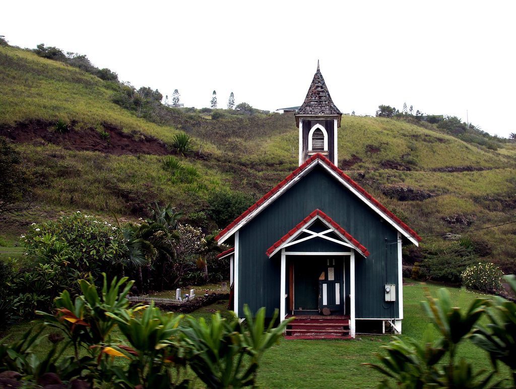
Place · 3.5 mi away
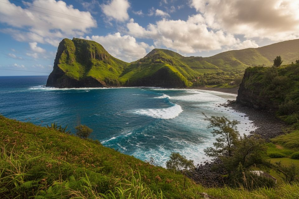
Place · 3.8 mi away
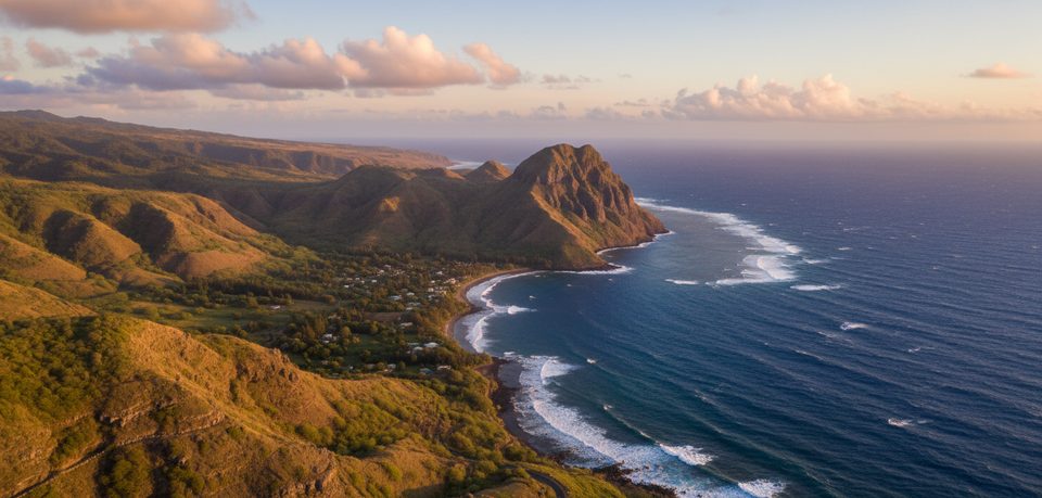
Place · 4 mi away
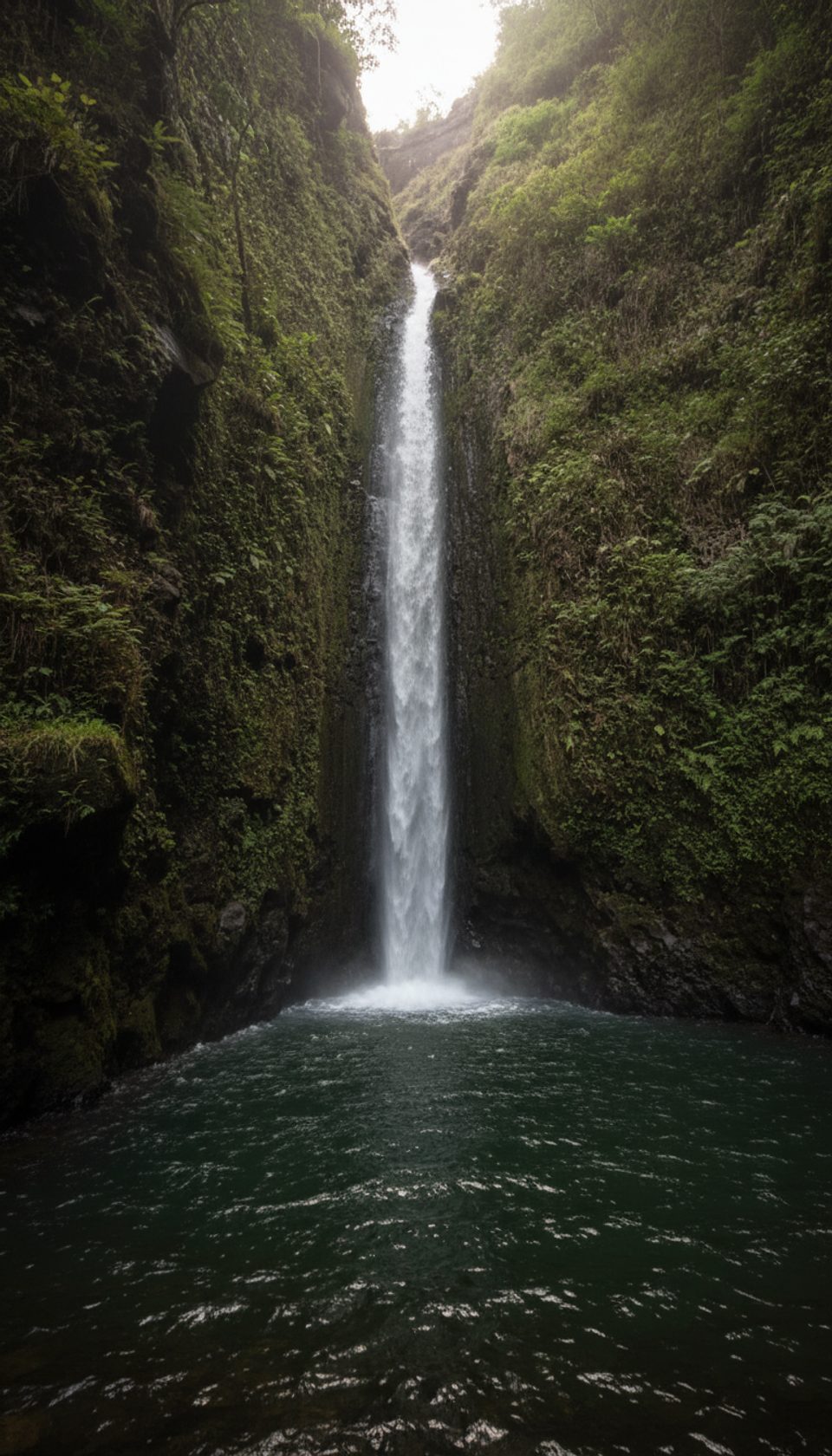
Moderate · 0.9 mi away
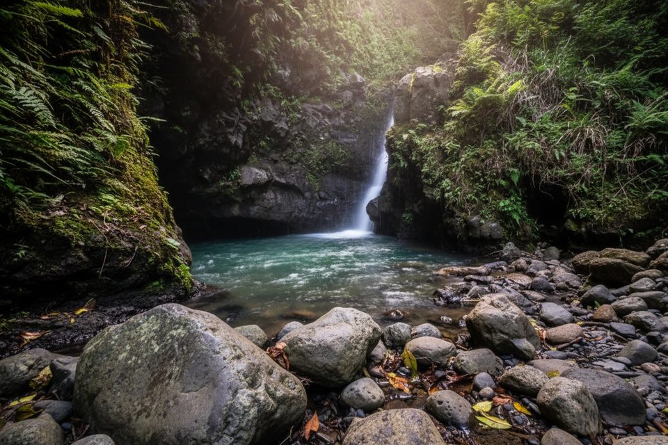
Moderate · 1.4 mi away
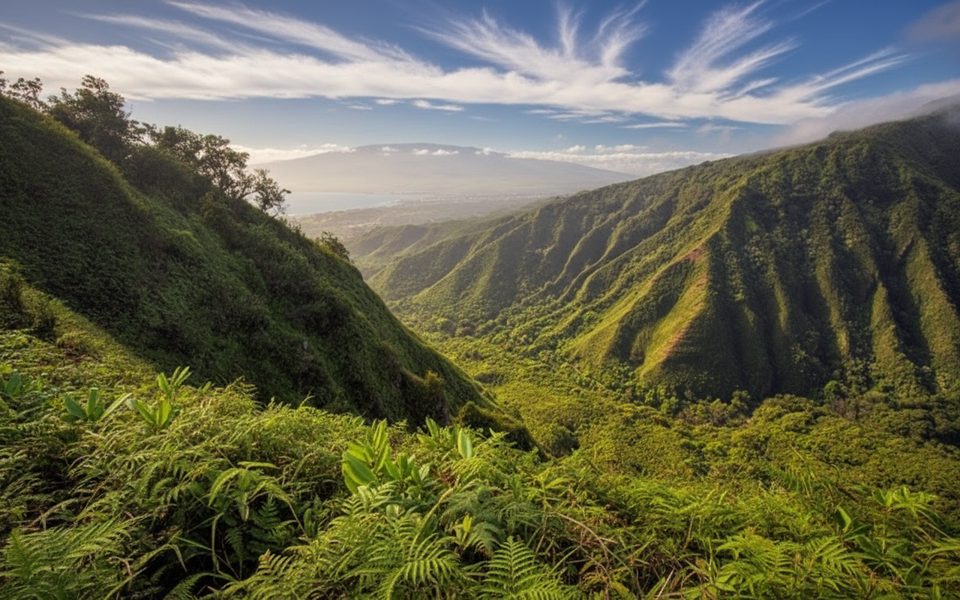
Challenging · 1.4 mi away
Easy · 3.2 mi away

Parkwolf Tour Guide
