Challenging

Waihe’e Ridge Trail

Steep ridgeline to huge valley and ocean views—worth the early start.
Waihe’e Ridge Trail, West Maui Scenic Drive
Distance4.4 mi
Typical time3.5 hr
DifficultyChallenging
PetsAllowed

Overview

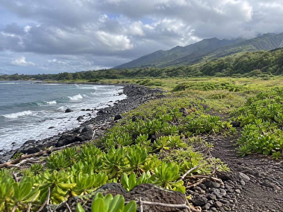
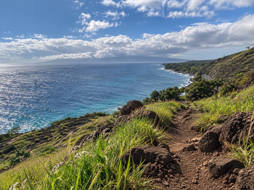
This is Maui’s classic ridge walk: a 4.4‑mile round‑trip climb with about 1,400 feet of gain along a lush spine above Waiheʻe Valley. Plan on 3–3.5 hours for most hikers. It’s popular for good reason—big ocean panoramas, deep valley views, and, on clear mornings, Haleakalā across the isthmus.

Route and Highlights

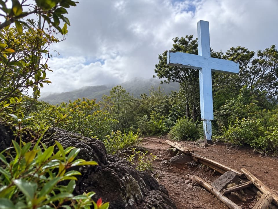
The hike starts through a gate and up a short, very steep paved ramp before turning to dirt. Early on you’ll weave through forest to a signed overlook with benches and distant views of Makamakaʻole Falls across the valley. As you ascend the ridge, the views open—coastline one way, corrugated West Maui peaks the other. Stairs help on steeper pitches. The final push tops out at a small wooden platform with a picnic table and sweeping 360s when clouds cooperate.

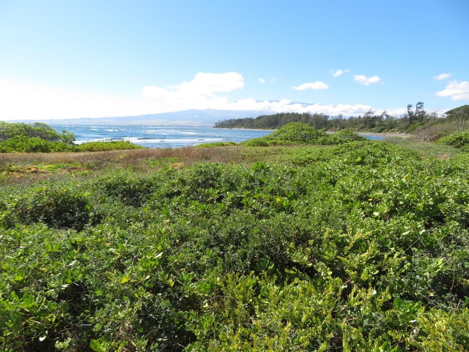
Keep an eye out for native plants like ʻŌhiʻa lehua and Koa among the mix of greenery, plus Naupaka, Hōʻawa, Kāmakahala, and uki grass. Birders: listen for the Japanese bush‑warbler and watch for ʻAmakihi and ʻApapane along the ridge.

Difficulty and Conditions

It’s a steady, often steep climb, and the descent is the crux when the trail is slick. This windward ridge gets wet fast—mud is common and rocks can be greasy even after sun. Parts of the tread are narrow (about 5–6 feet) with real drop‑offs and no railings; if conditions or comfort fade, turn around. Expect wind and fast‑building clouds that can erase summit views.

Best Times to Hike

Arrive at or just before opening (around 7:00 am) for parking, cooler temps, lighter winds, and your best shot at clear views. It’s hikeable year‑round; summers tend to be drier, but any day with a dry forecast is a win. Midday crowds and clouds are the norm—morning light also photographs the valley beautifully.

Getting There and Parking

Trailhead is off Kahekili Highway near mile marker 6.9—look for the red Camp Maluhia sign, then drive uphill roughly 0.9 miles past an initial lot to the larger gravel lot at the end. The main lot is small and fills soon after opening; overflow parking sits about 0.8 miles downhill, which adds up to 1.6 bonus miles round‑trip if you have to walk it. Basic portable toilets may be available at the trailhead, but there’s no water and cell service can be spotty. The route crosses private property via an easement—stay on the signed path.

Tips

Wear shoes with real traction and consider trekking poles for the descent. Pack water, snacks, a light rain layer, and sun protection. If the summit is socked in, the halfway overlook often delivers nearly the same drama without the cloud roulette. Dogs are allowed on leash; check posted signs at the trailhead before you go.

Pros

  • Halfway overlook delivers near‑summit views if clouds cap the top
  • Picnic table at the summit for a linger‑with‑a‑view break
  • Distant sightlines to Makamakaʻole Falls across the valley

Cons

  • Initial steep paved ramp spikes the effort from step one
  • Narrow ridge sections with drop‑offs and no railings
  • Overflow lot adds a hilly 1.6 miles round‑trip to your day

Parking

Turn off Kahekili Hwy near mile marker 6.9 at the Camp Maluhia sign, then drive ~0.9 mi uphill to the main trailhead lot; arrive at opening to avoid using the overflow lot 0.8 mi below.

Caution

Steep, muddy, and slippery when wet; narrow ridge with unguarded drop‑offs; strong wind and fast‑forming clouds; stay on the signed trail across private land.

The Parkwolf tour guide sitting on a phone mounted in a car

Parkwolf Tour Guide

Like a tour guide in your car.

Bring West Maui Scenic Drive trail research into the car, with offline maps and stories that play as you drive.Download Parkwolf on the App Store