
Place · 0.9 mi away
Moderate
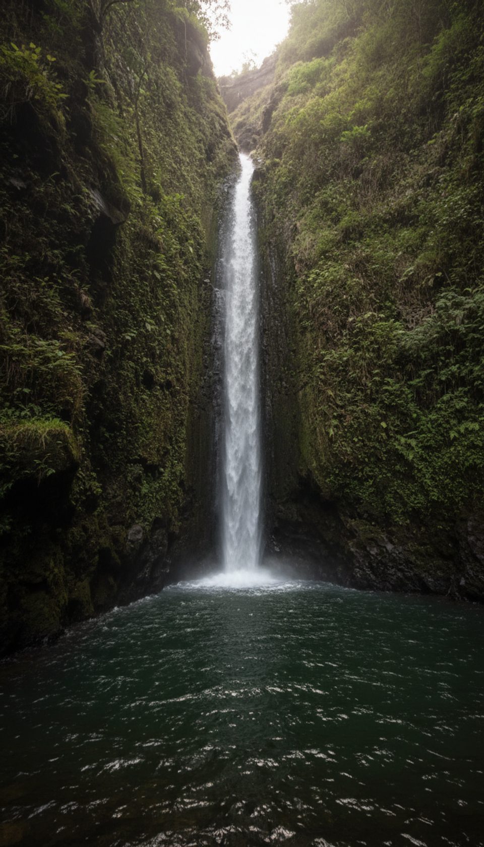
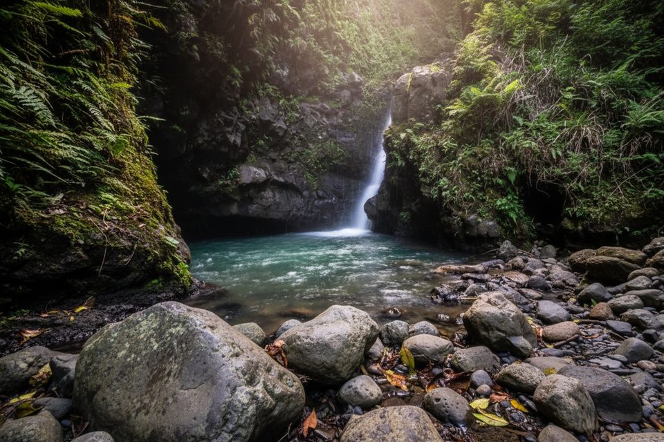
This is the in-the-stream adventure to the upper section of Makamakaole Falls. Expect a short but slow outing: roughly 2.0 miles total, out-and-back, with around five hundred feet of cumulative up-and-down and lots of wet, slick rock. The draw is two different waterfall endings and a lush, enclosed gulch that stays green even in summer. If you’re comfortable hopping rocks and getting your feet wet, it’s a blast; if not, skip it.
Start at the small roadside pullout by the bridge and hairpin on Kahekili Highway (near mile 8). You’ll immediately meet Makamakaole Stream; if that first crossing looks pushy or high, turn around. The route weaves upstream through a short bamboo section and pockets of ginger, guava, and other vegetation, with frequent stream crossings and narrow, rocky tread. Around 0.8–0.9 miles in, the stream splits:
Informal ropes sometimes appear near the falls—assume they’re uninspected and don’t rely on them.
Parking is very limited and roadside only, and this pullout has a reputation for vehicle break-ins. Leave nothing visible, and keep your stop efficient. There’s no fee, no facilities, and cell service is spotty—download your map beforehand as the path can be overgrown and hard to follow in spots. Dogs are reported on-leash.
Flash floods are a real hazard in this narrowing gulch. Do not attempt this hike during or soon after heavy rain; water rises fast and crossings become dangerous. Footing is the name of the game here: wet rock is slick, the streambed shifts, and you’ll be in and out of water often. Trekking poles and grippy footwear make a big difference.
Aim for a dry stretch of weather. Summer is typically drier; November to March tends to be wetter. An early start helps with parking and cooler temps, and it gives you time to evaluate water levels conservatively. If flows are low and stable, bring a towel—many hikers take a dip at the right-fork pool.
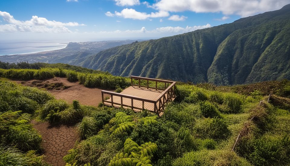
For a sweeping, distant view of the upper falls and the whole valley, the ridge trail nearby offers a grander panorama on a clear day. There’s also a separate, steeper path that drops toward the lower section of the falls from the highway, but it’s a different experience and not the same trail as this stream route.
Tiny roadside pullout at the hairpin by the bridge on Kahekili Highway near mile 8. Approach from Kahului (south/west side of the drive). Leave no valuables; no facilities.
Assess the first crossing—if water is high or fast, do not proceed. Expect slick rocks, numerous wet crossings, and uninspected ropes near the falls. Flash floods are a serious risk, and vehicle break-ins are common at the trailhead.
Place · 0.9 mi away
Place · 2.8 mi away
Place · 2.9 mi away
Place · 3.1 mi away
Moderate · 0.4 mi away
Challenging · 0.6 mi away
Easy · 2.8 mi away
Moderate · 3.7 mi away

Parkwolf Tour Guide
