
Place · 1.4 mi away
Moderate
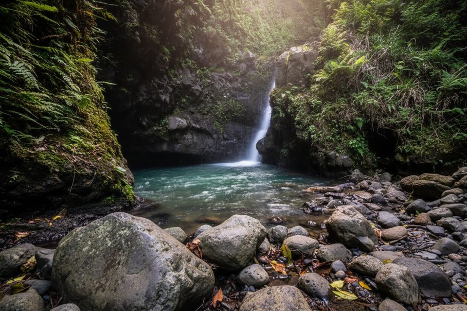
A short, splashy jungle hike that earns its name, this out-and-back follows Makamakaole Stream through a shaded gulch to two waterfalls. It’s roughly 2.0 miles total with about 400–500 feet of gain, and most hikers take 1–2 hours depending on photo stops and how much time you spend wading or swimming. Expect to cross the stream at least 13 times; you may do more depending on which fork you explore and how you pick your lines.
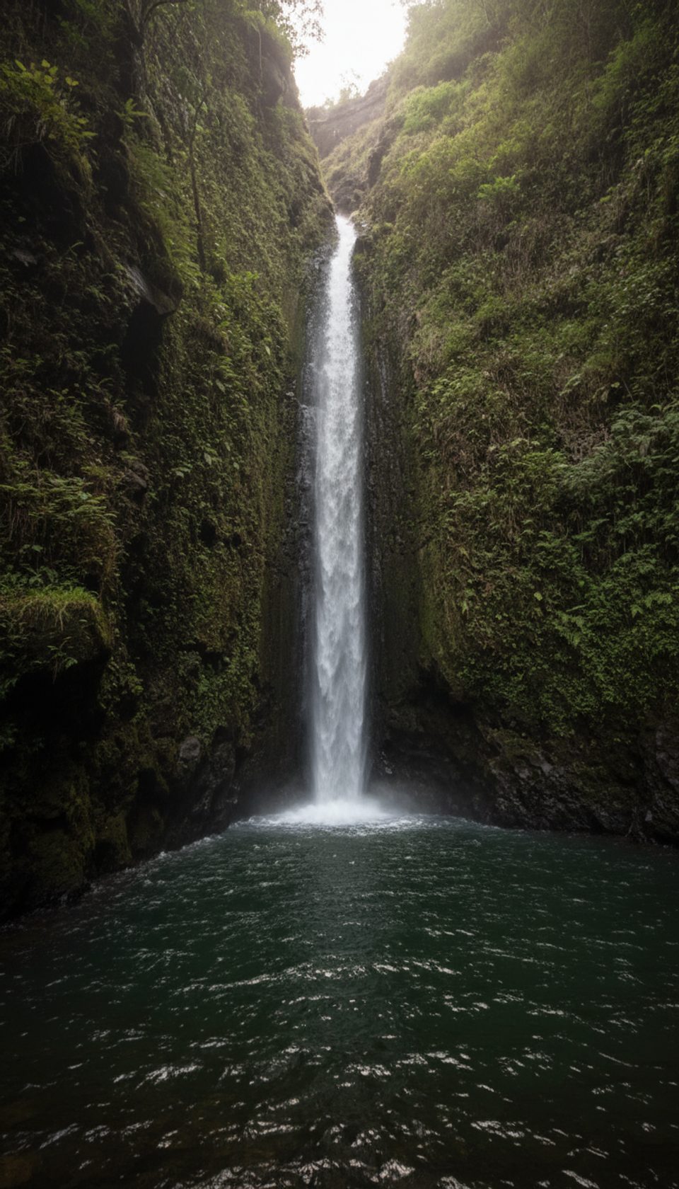
The route weaves through lush rainforest and a small bamboo grove, with rocky banks, slick boulders, and sections of old dry‑stack rock walls tucked along the way. Near the end, the stream splits: the right fork leads to the bigger waterfall with a deeper, often swim-friendly pool; the left is a smaller, pretty falls with a shallow pool. Both are worth a look if conditions are calm.
Footing is the challenge here—not the distance. Rocks are polished and slippery, mud is common, and water levels fluctuate after rain. Some narrow sections have drop-offs, and you may encounter informal ropes where people scramble higher; treat those as off-limits unless you’re very experienced and the anchors are clearly solid.
Go after a dry spell and start in the morning for cooler temps and gentler crowds. This gulch is prone to flash flooding; skip it entirely if rain is forecast for West Maui or if the first crossing is already running high or fast. The trail is popular year-round, but shade keeps it pleasant when conditions are safe.
Wear grippy footwear you’re happy to soak—water shoes or sticky trail runners beat sandals here. Trekking poles help with balance on slick rocks. Pack a small towel, a dry bag for phone/keys, snacks, and at least a liter of water. Cell service is limited; download your map before you go and set a turnaround time.
Parking is roadside on Kahekili Highway by the bridge over Makamakaole Stream. Space is limited and this spot sees recurring petty theft—leave nothing visible and take valuables with you. Approaching from the Wailuku (south/east) side is the calmer drive; the highway beyond has narrow, twisty single-lane segments.
Flash flooding is the big risk. If water rises, turn around immediately—options to gain high ground are limited in the narrow ravine. Move carefully on slick rock, don’t trust every rope you see, and avoid climbing wet waterfall tiers.
Roadside shoulder parking on Kahekili Highway by the bridge over Makamakaole Stream; limited space and known for petty theft—take valuables with you.
Frequent slick rock and mud, multiple wet crossings, narrow sections with drop-offs, and serious flash-flood potential; avoid if rain is forecast or the first crossing is running high. Limited cell service; do not rely on informal ropes or climb wet waterfall tiers.
Place · 1.4 mi away
Place · 2.7 mi away
Place · 2.9 mi away
Place · 3 mi away
Challenging · 0.4 mi away
Moderate · 0.4 mi away
Easy · 2.6 mi away
Moderate · 3.7 mi away

Parkwolf Tour Guide
