Parking
Shay Elliott Memorial Forest Car Park on the Military Road, about 6 km south of Laragh.
Wicklow Mountains National Park, WW
Easy 1.4 km forest link from a high pass to open mountain
Overview
Easy effort, described as suitable for all
 Parkwolf’s verdictWho it suits
Map & elevation
Plan your hike

The highest, rockiest slopes around here are a summer buffet for grizzly bears.
Wicklow Mountains Tour Guide
Parkwolf is a GPS audio tour guide for Wicklow Mountains National Park. As you drive, it chimes in with what’s ahead: hidden gems, upcoming stops, history, geology, and wildlife, right through your car’s speakers.
Recorded for this area
The Walker Who Mapped a Way“The Wicklow Way began with a walker filling notebooks. From the 1930s, J. B. Malone recorded routes, weather, walking times and details he noticed in these hills.”
Plays on the road 2.1 km from the trailhead in the Parkwolf Wicklow Mountains Tour Guide.
More stories near here in the app
“Fantastic app with many points of information… It’s great to just turn on while you’re driving and it gives you an audio tour of the national Park. We love it!!!!”


Trail guide
This is a linear route, 1.4 km one way, graded easy and taking about 20 minutes in that direction. Walking it as an out and back roughly doubles your time on foot, though the distance shown here follows the one way convention for a point to point trail.
You start at the Shay Elliott Memorial Forest Car Park, set on the high mountain pass between Laragh and Glenmalure, about 6 km south of Laragh on the Military Road. The way runs northwest on forest trail and public road, following white waymarkers through the forest until the marked access ends at the edge of the open mountain. Elevation samples along the corridor show a modest net climb with small undulations rather than sustained steep ground.
The marked access opens onto routes heading toward Mullacor, Braigue and Cullentra. That is a different undertaking. Anyone leaving this linear trail for the open mountains should be able to navigate in poor weather and be properly equipped. Access to land beyond the forest estate is not guaranteed, so plan any onward loop on that basis rather than assuming a through route.
Parking is at the named car park beside the memorial at the start of the route. Dogs are welcome in the National Park but must be kept on a lead at all times. In forest areas dogs may be brought along when under effective control, and must be on a lead if they will not reliably come to command; restricted breeds must be leashed and muzzled in public.
If you want something a little harder from the same car park, the separate Ballybraid and Ballyboy Viewpoint route is about 1 km, roughly an hour, moderate. It is a different trail, not an extension of this access route.
Wildlife
 204 sightingsSika DeerMost seen around 7 AMSighting map
 18 sightingsRed DeerMost seen around 7 AMSighting map
 15 sightingsGrey HeronMost seen around 7 PMSighting map
 11 sightingsCommon RavenMost seen around 8 AMSighting map
 28 sightingsEuropean Common FrogMost seen around 7 PMSighting map
 11 sightingsViviparous LizardMost seen around 11 AMSighting map
Sighting maps show where each species has been reported across Wicklow Mountains. Wildlife moves, so no sighting is guaranteed.
Keep exploring
 ModerateDerrybawn Woodland Trail8 km · 2 hr · 4.3 km awaySteep woodland climb, then an 8 km forest-road loop above the two lakes
 ChallengingSpinc and Glenealo Valley (White Route)9.5 km · 3.3 hr · 4.3 km awaySteep steps to cliff-top views over two lakes and a deer-filled valley
 ChallengingSpinc and the Wicklow Way (Red Route)11.5 km · 4.3 hr · 4.3 km awayBoardwalk cliff path, twin-lake views and a hard 11.5 km mountain loop
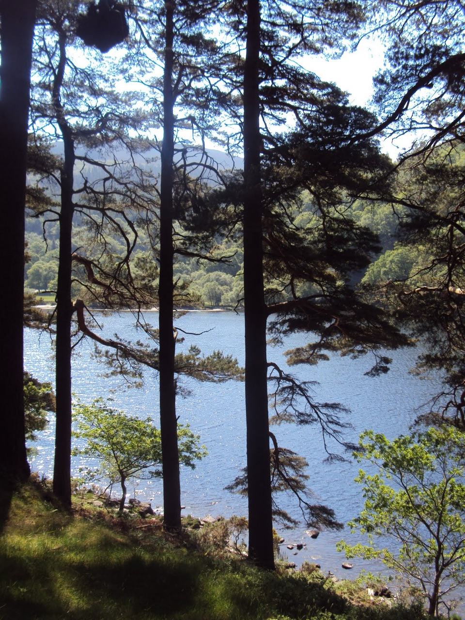
 EasyMiners’ Road Walk (Purple Route)5 km · 1.2 hr · 4.3 km awayFlat lakeshore track through Scots pine to a ruined mining village
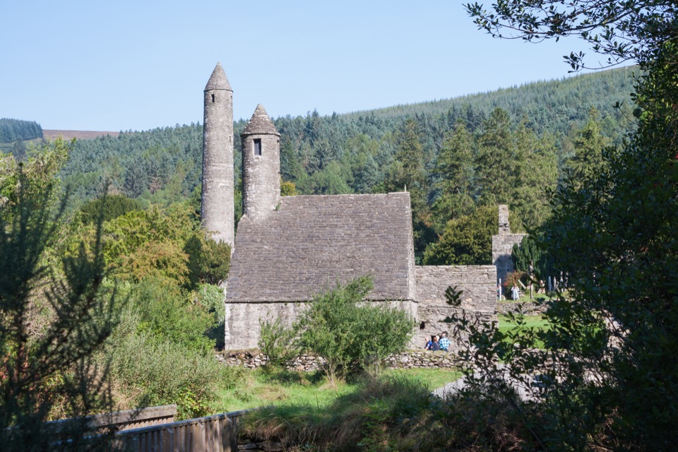 EasyGreen Road Walk3.6 km · 50 min · 4.3 km awayFlat lakeside boardwalk loop past the round tower and Lower Lake woodland
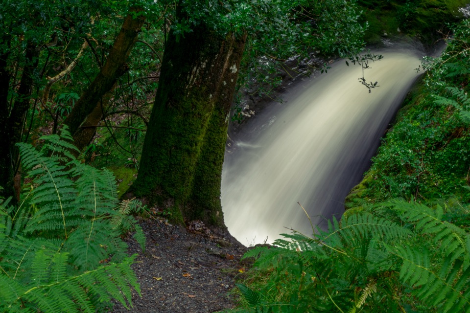 ModeratePoulanass (Pink Route)1.6 km · 45 min · 4.3 km awayShort but steep pink loop past a waterfall and plunge pools
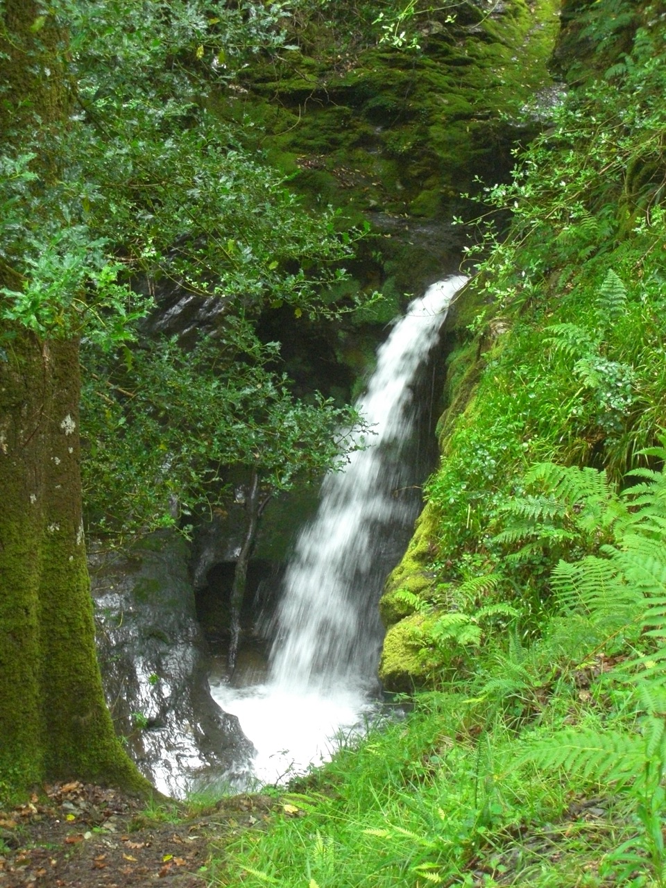 ModeratePoulanass and St. Kevin’s Cell1 km · 45 min · 4.3 km awaySteep waterfall climb to a monastic ruin above the Upper LakeChallengingSpinc Trail (Short Route)6 km · 2.3 hr · 4.3 km awaySteep climb past Poulanass to a boardwalk high above Upper Lake
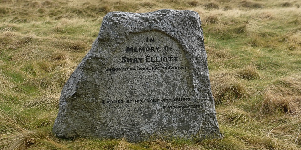
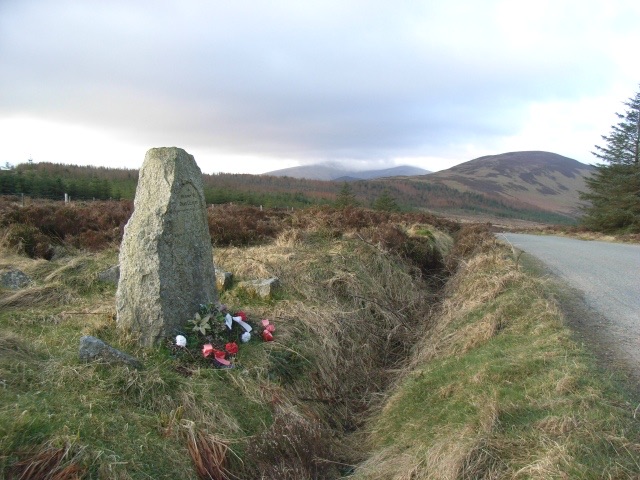 Sight · 0.1 km awayShay Elliott MemorialA roadside stone for Ireland's first Tour de France stage winner
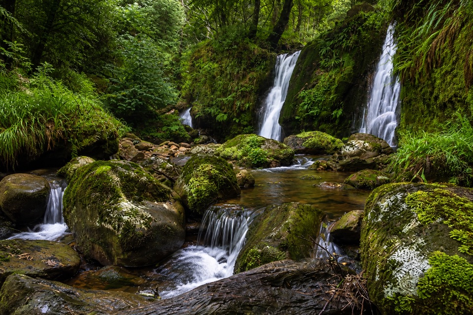 Sight · 2.4 km awayCoolalingo WaterfallsUnsigned cascades and pools a short scramble from Coolalingo BridgeSight · 4.1 km awayPoulanass WaterfallSteep wooded climb to dark plunge pools above the Upper Lake
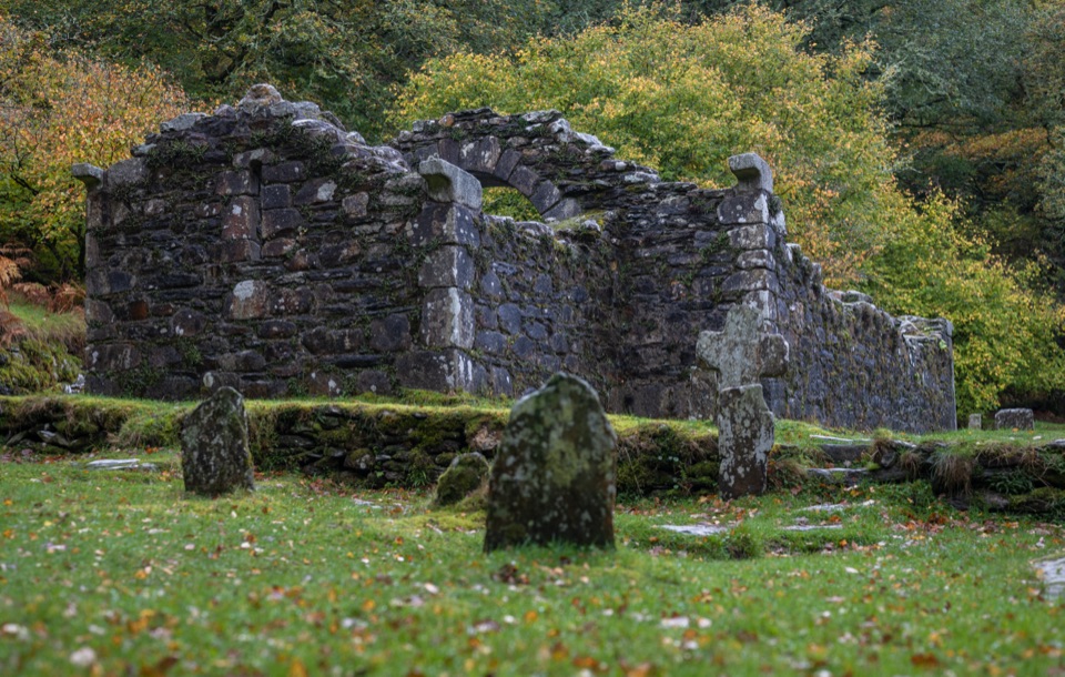 Sight · 4.3 km awayReefert ChurchRuined granite church among trees, burial place of the kings
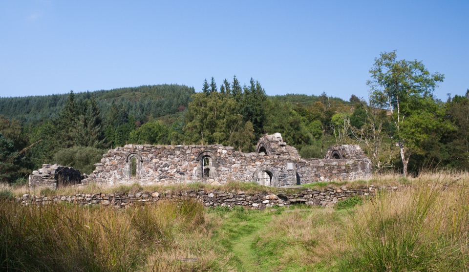 Sight · 4.3 km awaySaint Saviour's PrioryFinely carved Romanesque arch and window, reached on a woodland walk
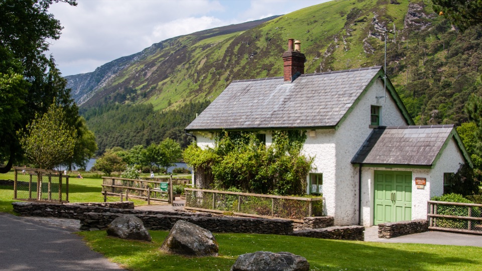 Visitor center · 4.4 km awayWicklow Mountains National Park Information OfficeMaps, knowledgeable staff and a nature display near Upper Lake
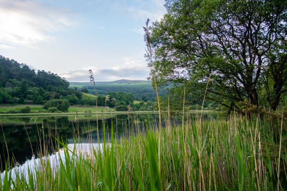 Sight · 4.5 km awayGlendalough Lower LakeReed-fringed glacial water on the boardwalk route to the Upper Lake
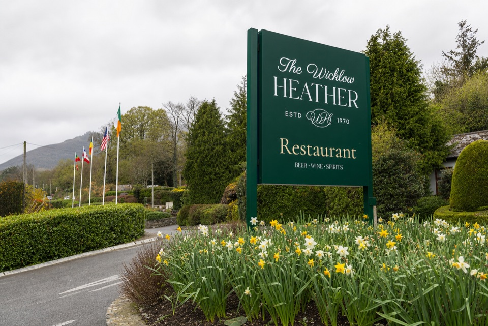 Restaurant · 4.6 km awayWicklow Heather RestaurantFifty-plus years of Irish cooking beside rare literary first editions
Parkwolf’s Wicklow Mountains ranking
Spinc and Glenealo Valley (White Route)Challenging · 9.5 km The Wicklow WayChallenging · 130 km
 Djouce Mountain from J.B. Malone Car ParkChallenging · 7.4 km
 Tonelagee & Lough Ouler TrailChallenging · 7.9 kmSpinc and the Wicklow Way (Red Route)Challenging · 11.5 kmMiners’ Road Walk (Purple Route)Easy · 5 km
The audio tour guide for the drive, plus offline maps, trails, and wildlife heatmaps for when the signal drops.