Best time to go
- Early morning or midweek is noticeably quieter.
- Overcast light is kind to photographs in a close wooded setting.
Sight · Wicklow Mountains National Park
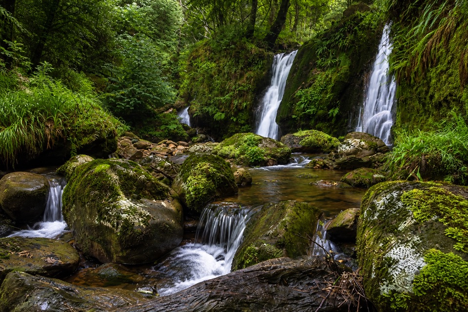
Unsigned cascades and pools a short scramble from Coolalingo Bridge
Overview
Map
Plan your stop

The highest, rockiest slopes around here are a summer buffet for grizzly bears.
Wicklow Mountains Tour Guide
Parkwolf is a GPS audio tour guide for Wicklow Mountains National Park. As you drive, it chimes in with what’s ahead: hidden gems, upcoming stops, history, geology, and wildlife, right through your car’s speakers.
More stories near here in the app
“Fantastic app with many points of information… It’s great to just turn on while you’re driving and it gives you an audio tour of the national Park. We love it!!!!”


Guide
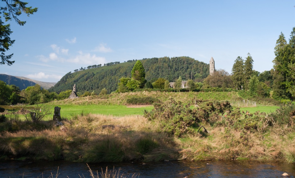
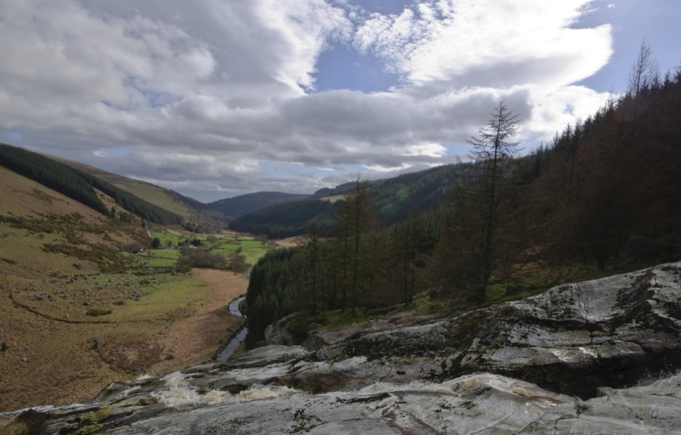
A small, peaceful set of waterfalls on a fast-flowing stream in a wooded valley. Multiple cascades run along a short stretch of water, with natural pools below the falls and trees close in on both sides. It suits a quiet half hour beside moving water rather than a long walk.
The falls are modest in scale, parking is very limited, and the absence of signs or a real path means the water can be hard to locate. Come prepared to work out the line yourself, and the reward is a quiet spot among the trees.
Wildlife
 204 sightingsSika DeerMost seen around 7 AMSighting map
 18 sightingsRed DeerMost seen around 7 AMSighting map
 15 sightingsGrey HeronMost seen around 7 PMSighting map
 11 sightingsCommon RavenMost seen around 8 AMSighting map
 28 sightingsEuropean Common FrogMost seen around 7 PMSighting map
 11 sightingsViviparous LizardMost seen around 11 AMSighting map
Sighting maps show where each species has been reported across Wicklow Mountains. Wildlife moves, so no sighting is guaranteed.
Keep exploring
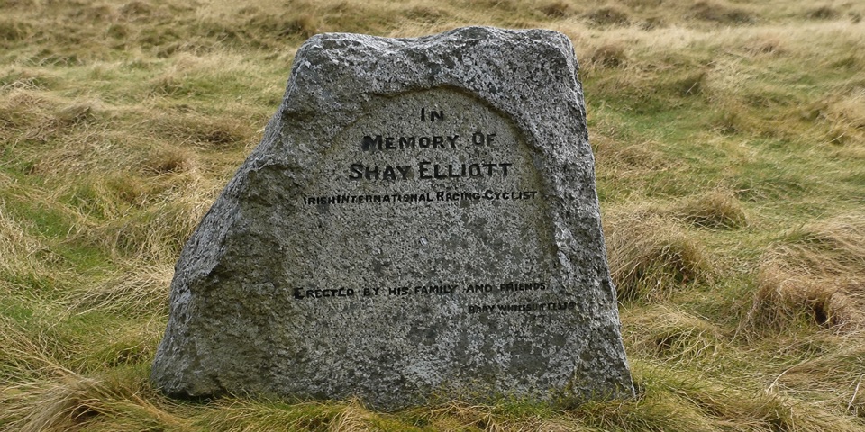 EasyShay Elliott Glenmalure – Mountain Access Route1.4 km · 20 min · 2.4 km awayEasy 1.4 km forest link from a high pass to open mountain
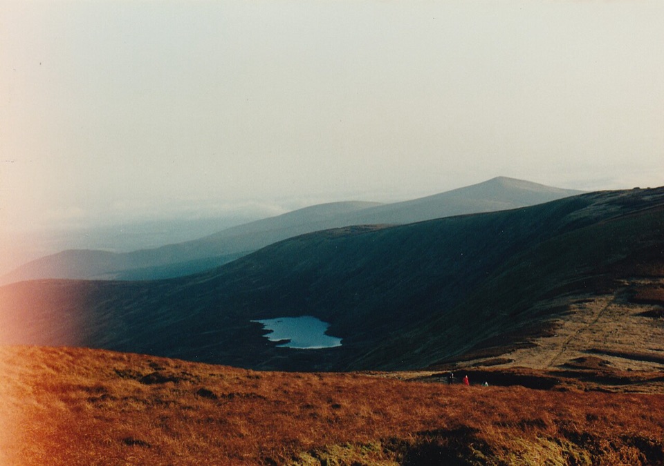 ModerateDrumgoff – Kelly’s Lough14.3 km · 4.8 hr · 2.6 km awayForest tracks and boardwalks climb to a quiet upland lough
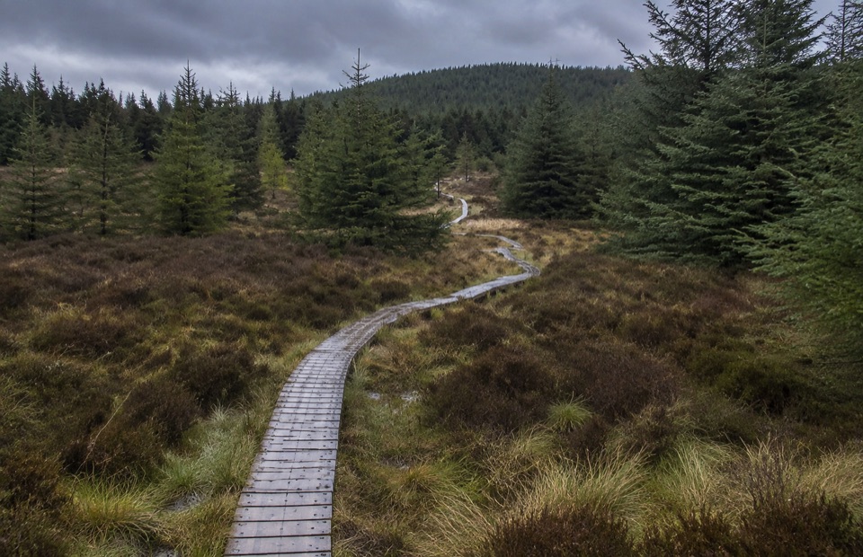 ModerateDrumgoff Forest Walk – Carrawaystick Mountain Access Route2.5 km · 1 hr · 2.6 km awaySteady forest climb to boardwalk and open upland below Carrawaystick
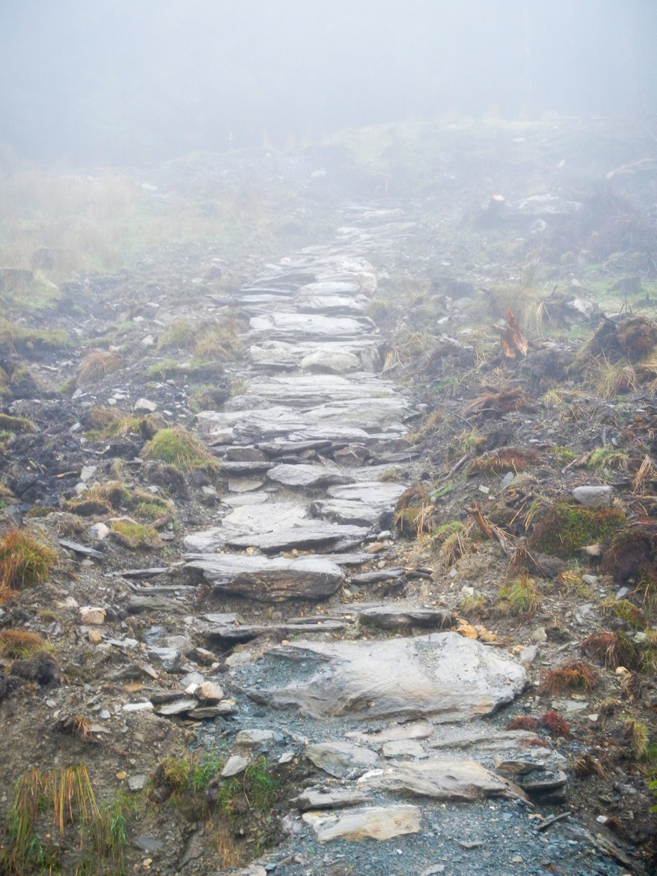 ChallengingBallinafunshogue Walk - Mountain Access Trail8.9 km · 3.3 hr · 3.1 km awaySustained forest climb from Glenmalure to the open Mullacor Saddle
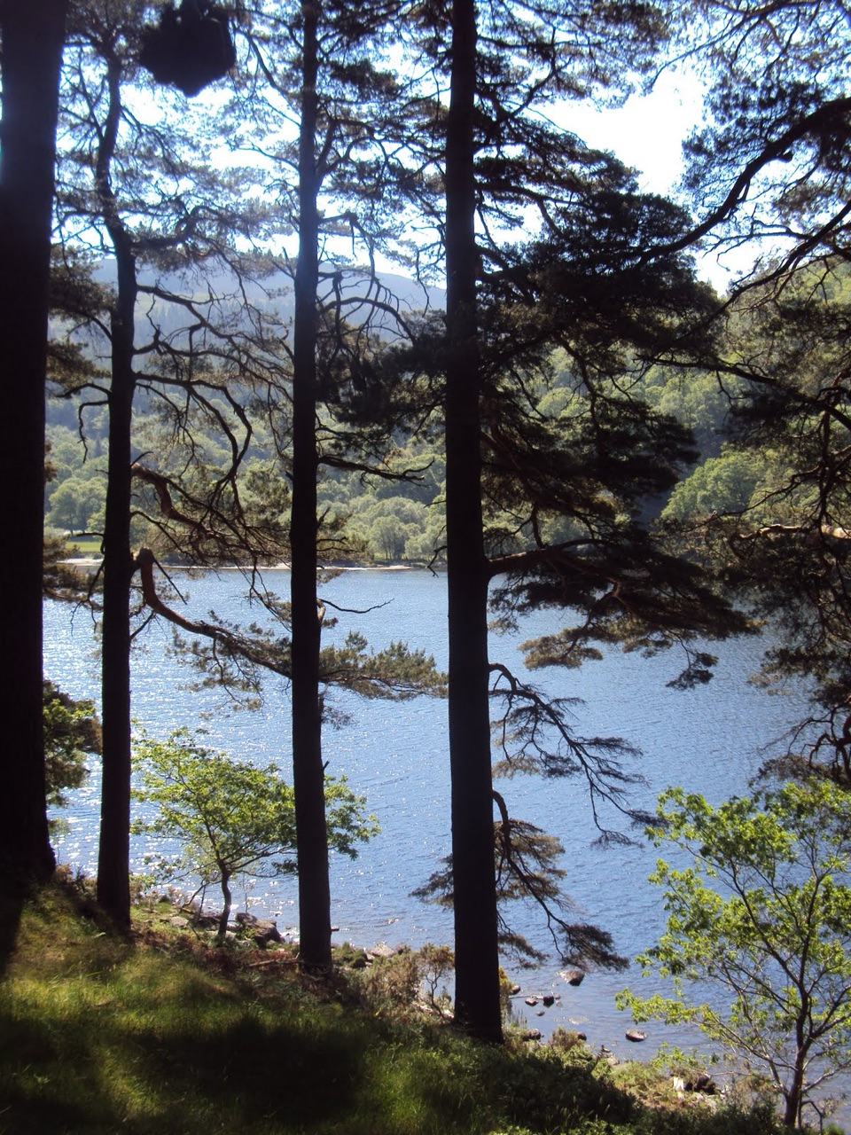 ModerateDerrybawn Woodland Trail8 km · 2 hr · 5 km awaySteep woodland climb, then an 8 km forest-road loop above the two lakes
 ChallengingSpinc and Glenealo Valley (White Route)9.5 km · 3.3 hr · 5 km awaySteep steps to cliff-top views over two lakes and a deer-filled valley
 ChallengingSpinc and the Wicklow Way (Red Route)11.5 km · 4.3 hr · 5 km awayBoardwalk cliff path, twin-lake views and a hard 11.5 km mountain loop
 EasyMiners’ Road Walk (Purple Route)5 km · 1.2 hr · 5 km awayFlat lakeshore track through Scots pine to a ruined mining village
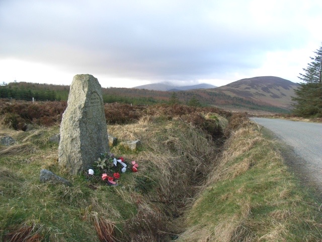 Sight · 2.4 km awayShay Elliott MemorialA roadside stone for Ireland's first Tour de France stage winner
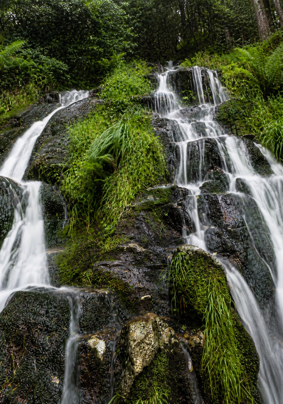 Sight · 3.1 km awayBallinafunshoge WaterfallSteps from a tiny Glenmalure car park, water drops over mossy ledges
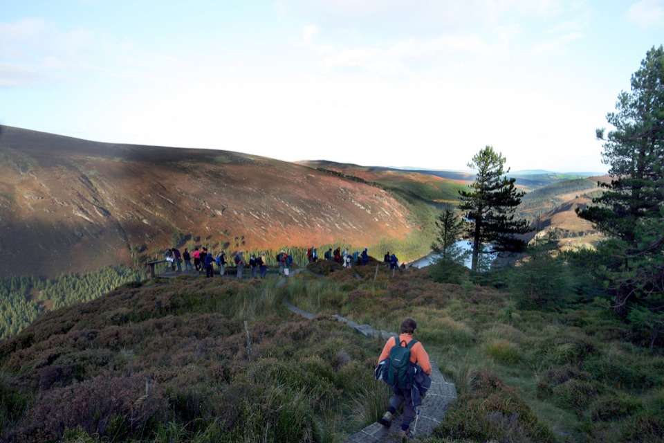 Sight · 4.7 km awayGlendalough ViewpointEarn a boardwalk-high view over both lakes and the Miners' Village
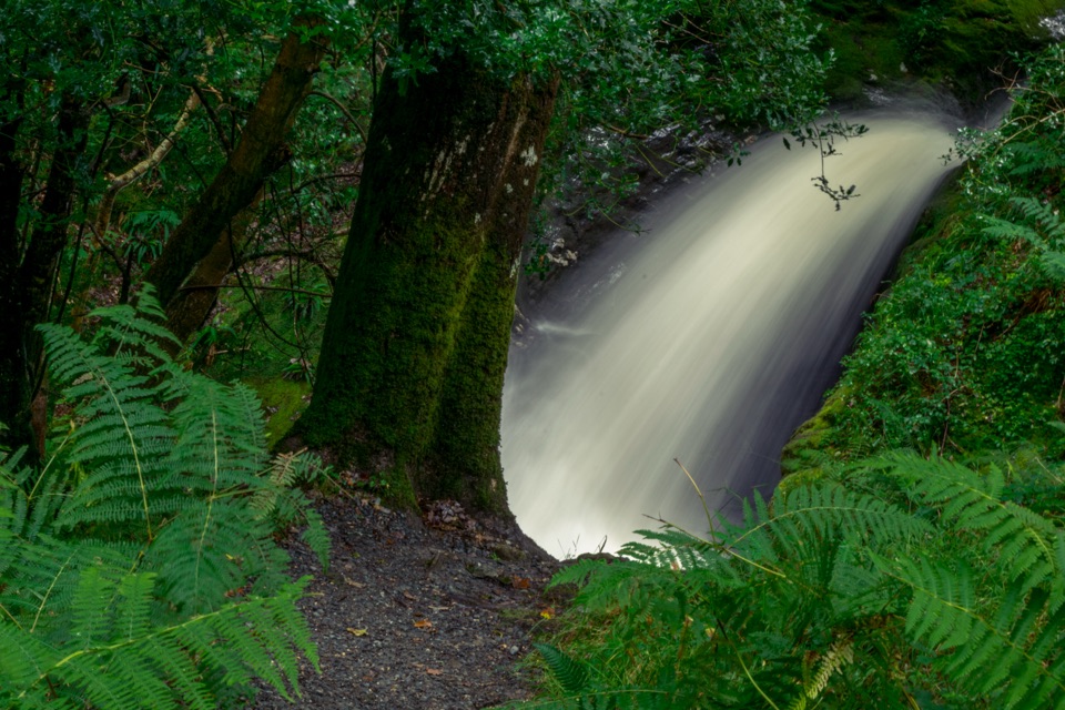 Sight · 4.7 km awayPoulanass WaterfallSteep wooded climb to dark plunge pools above the Upper Lake
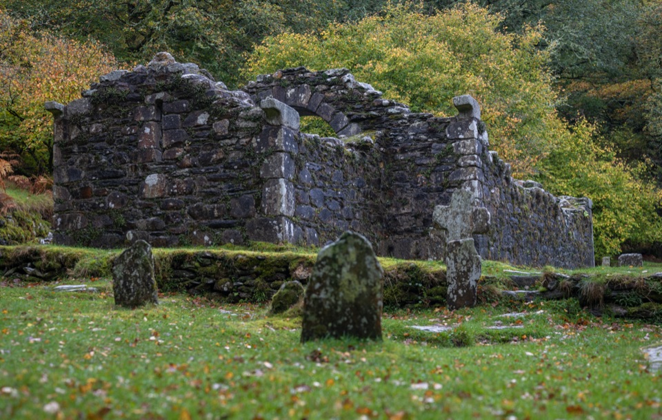 Sight · 4.9 km awayReefert ChurchRuined granite church among trees, burial place of the kings
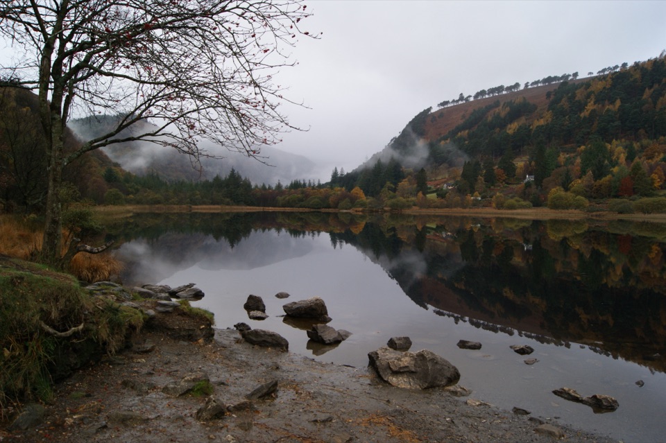 Sight · 5 km awayGlendalough Upper LakeA glacier-carved lake under steep cliffs, with a sandy eastern shore
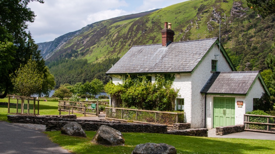 Visitor center · 5 km awayWicklow Mountains National Park Information OfficeMaps, knowledgeable staff and a nature display near Upper Lake
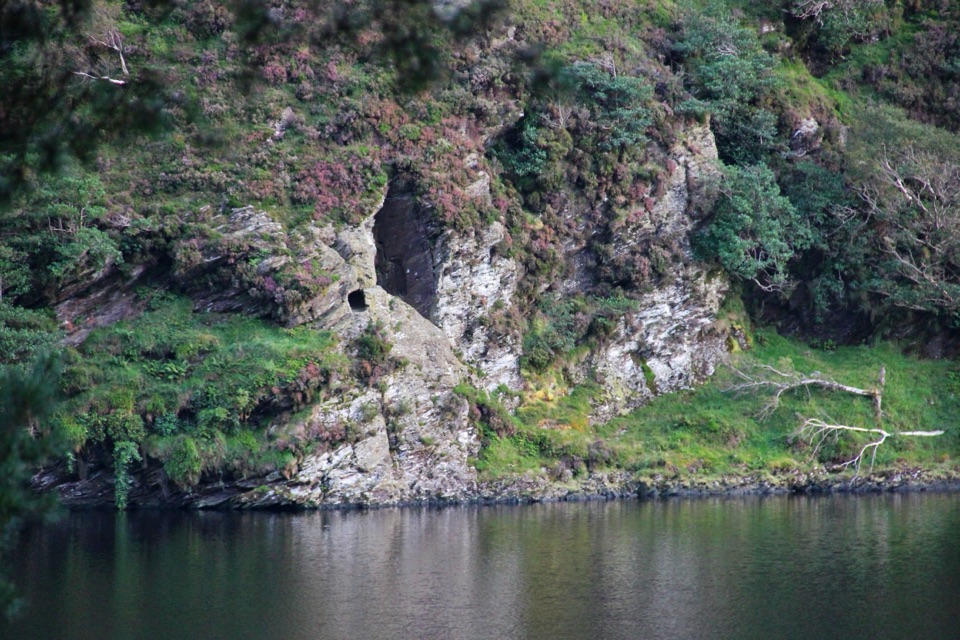 Sight · 5.2 km awaySt Kevin's Bed ViewCliffside hermit's cave, seen across Upper Lake from a pine-shaded path
Parkwolf’s Wicklow Mountains ranking

The audio tour guide for the drive, plus offline maps, trails, and wildlife heatmaps for when the signal drops.