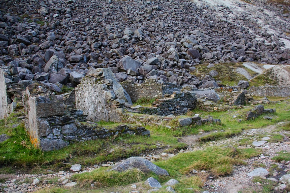
Shay Elliott Memorial in Wicklow Mountains National Park

Sight · Wicklow Mountains National Park

Shay Elliott Memorial

A roadside stone for Ireland's first Tour de France stage winner

Photo: Wikimedia Commons
Type
Sight
Nearest trail
0.1 km
Audio stories
2 nearby
  • Parking
  • Picnic tables
  • Trailhead

Hear the audio tour

The Walker Who Mapped a Way

Overview

About Shay Elliott Memorial

Why stop

  • A meaningful cycling landmark with open mountain scenery

Heads up

  • Open mountain weather can change quickly
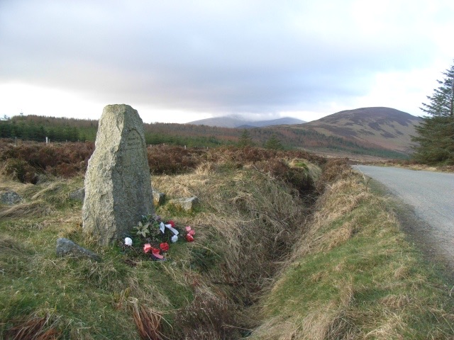
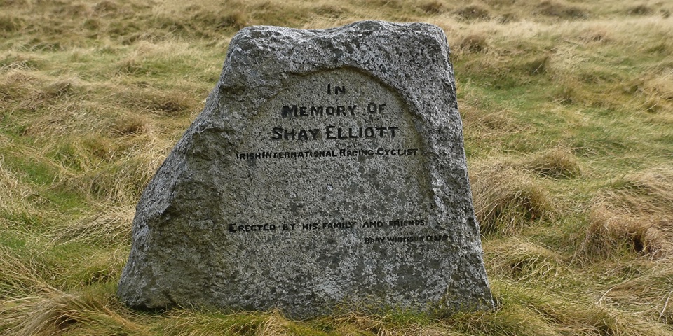
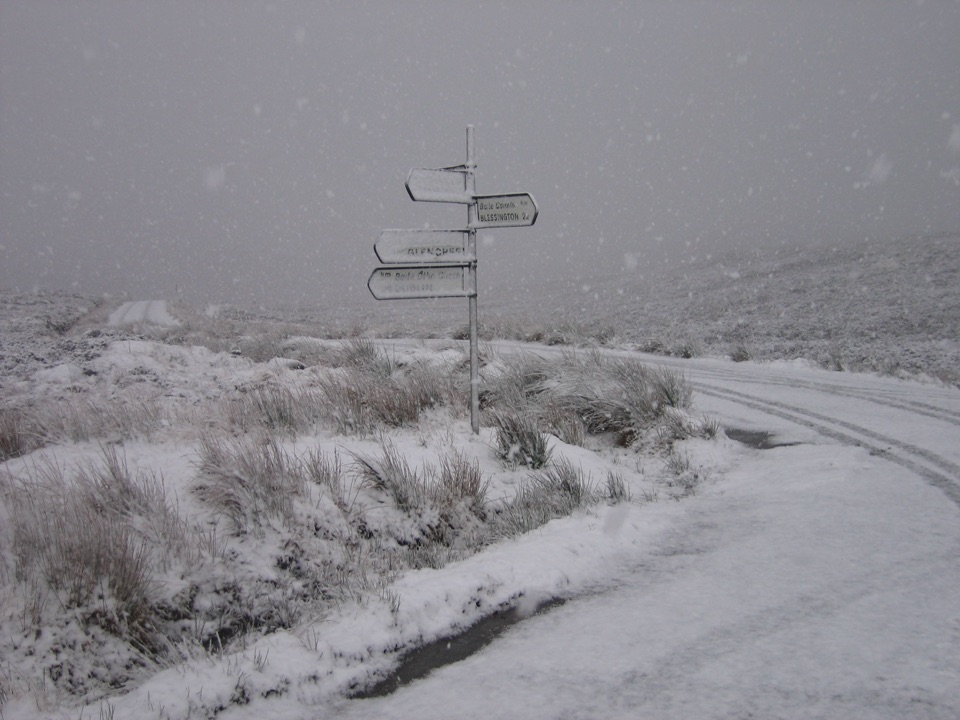
A modest roadside stone memorial sits at a high pass on the Military Road between Laragh and Glenmalure, about 6 km south of Laragh. It remembers Shay Elliott, Ireland's first major international road cyclist, who in 1963 won a stage of the Tour de France and became the first Irish rider to wear the yellow jersey. The spot also marks the finish of a King of the Mountains section climbed from Drumgoff, so the setting matters as much as the stone.
Parkwolf’s verdictWhy stop here

Map

Where it is

Loading the Wicklow Mountains map
Full map
SightShay Elliott Memorial52.96862, -6.31924
Keep this map with you offline in the Parkwolf app

Plan your stop

Before you go

3 active Wicklow Mountains alerts

  • CautionExtreme upland fire riskDo not use solid-fuel BBQs in Wicklow Mountains National Park, and take extreme care with cigarettes and other naked flames because the hills are dry and at extreme risk of fire.Official details
  • CautionGlendalough Spinc trail works and intermittent disruptionsExpect intermittent disruption on the Glendalough Spinc trails while NPWS upgrades the White Trail.Official details
See all 3 alerts
A park ranger sits on a dash-mounted phone, talking, as Parkwolf’s Tour Guide plays “Army Cutworm Moths: A Grizzly Bear Buffet” on Grand Loop Road below Dunraven Pass in Yellowstone
Parkwolf Tour GuideThe highest, rockiest slopes around here are a summer buffet for grizzly bears.

Wicklow Mountains Tour Guide

Your drive to Shay Elliott Memorial, narrated.

Parkwolf is a GPS audio tour guide for Wicklow Mountains National Park. As you drive, it chimes in with what’s ahead: hidden gems, upcoming stops, history, geology, and wildlife, right through your car’s speakers.

Recorded for this area

The Walker Who Mapped a Way
0:00 / 0:32
“The Wicklow Way began with a walker filling notebooks. From the 1930s, J. B. Malone recorded routes, weather, walking times and details he noticed in these hills.”

Plays on the road 2.2 km from Shay Elliott Memorial in the Parkwolf Wicklow Mountains Tour Guide.

More stories near here in the app

  • The Yellow Jersey at Shay Elliott Pass
  • The Next Oakwood
  • Wicklow Heather Restaurant
  • Glendalough Upper Lake
  • 55 audio storiesacross Wicklow Mountains’s roads, triggered by GPS as you drive
  • Wildlife heatmapsfor Sika Deer, Red Deer, Grey Heron, and 3 more
  • Works offlinemaps, 34 trails, 31 places, and audio download before you lose signal
  • CarPlay readysimple controls built for the drive
★★★★★
“Fantastic app with many points of information… It’s great to just turn on while you’re driving and it gives you an audio tour of the national Park. We love it!!!!”
JMJamesApp Store review
Download Parkwolf on the App StoreGet Parkwolf on Google Play

4.7 from 8,600+ ratings

Guide

More about Shay Elliott Memorial

What you'll seeThe memorial is small and unshowy, often left with ribbons and flowers, backed by wooded hills…

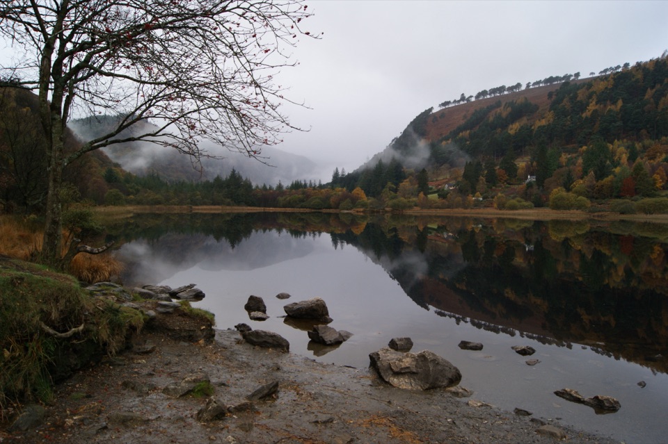
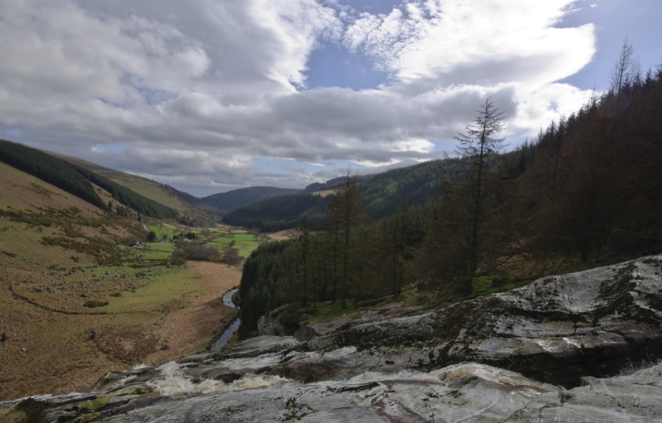
The memorial is small and unshowy, often left with ribbons and flowers, backed by wooded hills that fall away into the valleys. Views from the pass and along the road are the main draw, and the climb up from Drumgoff gives the place its cycling context. Be honest with your expectations: this is a brief, low key stop rather than a built up attraction.

A short pause or a proper walkYou can simply pull in, read the stone and move on.

You can simply pull in, read the stone and move on. If you want more, there is a nearby car park, picnic site, walking trails and a trail map, with two waymarked options:

A longer local walk also starts from the nearby car park, roughly 8.13 km with 201 m of ascent and a maximum elevation of 528 m.

  • White waymarked Mountain Access Route: 850 m, about 20 minutes, easy, through forest to open mountain.
  • Blue waymarked Ballybraid/Ballyboy Viewpoint trail: 1 km, about 1 hour, moderate, climbing to an open knoll with views of Cullentragh, Mullacor and Cloghernagh.

Kit, weather and lightWalking guidance recommends waterproof clothing, strong shoes or boots, a drink, and a map and…

Walking guidance recommends waterproof clothing, strong shoes or boots, a drink, and a map and compass, sensible advice for exposed ground at this height. Bring water with you. Note too that access beyond the managed forest estate is not guaranteed, so plan routes accordingly. The surroundings are relatively quiet, and after nightfall the dark skies are a genuine bonus if you linger. Secure your car before leaving it at the car park.

The Military Road and 1798The road you are standing on was built after the 1798 rebellion, constructed by soldiers…

The road you are standing on was built after the 1798 rebellion, constructed by soldiers returning from colonial wars in North America to maintain military access and order among the rebellious Wicklow clans. Remains of a blockhouse can still be seen at Drumgoff Crossroads, which pairs well with the memorial if you are making a loop of the area.

Wildlife

Wildlife in Wicklow Mountains

All Wicklow Mountains wildlife maps

Sighting maps show where each species has been reported across Wicklow Mountains. Wildlife moves, so no sighting is guaranteed.

Keep exploring

Near Shay Elliott Memorial

See it all on the map

Trails nearby

More stops nearby

Parkwolf’s Wicklow Mountains ranking

Top sights in Wicklow Mountains

All 31 places
  1. 1Glendalough Monastic Site and Visitor CentreSight
  2. 2Glendalough Upper LakeSight
  3. 3Sally GapSight
  4. 4Lough Tay Viewing PointSight
  5. 5Glenmacnass WaterfallSight
  6. 6Miners' VillageSight

Take Parkwolf to Wicklow Mountains.

The audio tour guide for the drive, plus offline maps, trails, and wildlife heatmaps for when the signal drops.

4.7 from 8,600+ ratings

Download Parkwolf on the App StoreGet Parkwolf on Google Play