Parking
Start at the Glendalough Visitor Centre car park. The route uses the valley access to the Upper Lake and returns to the same visitor-centre access.

Wicklow Mountains National Park, WW
Boardwalk cliffs above the lakes, then open ground to Camaderry
Overview
Map & elevation
Plan your hike

The highest, rockiest slopes around here are a summer buffet for grizzly bears.
Wicklow Mountains Tour Guide
Parkwolf is a GPS audio tour guide for Wicklow Mountains National Park. As you drive, it chimes in with what’s ahead: hidden gems, upcoming stops, history, geology, and wildlife, right through your car’s speakers.
Recorded for this trailhead
Glendalough Monastic Site and Lower Lake“You’re approaching Glendalough’s monastic site, near the Lower Lake. For a quieter corner with beautiful stone carving, seek out Saint Saviour’s Priory, east of the main ruins.”
Plays as you drive up to this trailhead in the Parkwolf Wicklow Mountains Tour Guide.
More stories near here in the app
“Fantastic app with many points of information… It’s great to just turn on while you’re driving and it gives you an audio tour of the national Park. We love it!!!!”


Trail guide
A closed loop of 17.9 km (11.1 miles) as it is usually quoted, starting and finishing at the Glendalough Visitor Centre. The verified connected line comes out slightly longer at 18.45 km, so treat the round number as a convention rather than a precise measurement. Plan on about 6.5 to 7 hours at a steady walking pace, and rate it hard, 8 out of 10.
You start low in the monastic valley, passing the Deer Stone and the ancient monastic site, then work up to the Upper Lake. From there the climb steepens through woodland beside Poulanass before you gain the Spinc ridge, where the boardwalk runs along the cliff tops with the lake dropping away below. The route then leaves the busy ground for open mountain toward the Camaderry summit area, around 699 m, and descends through the Glenealo valley to pick up the Miners Road and the valley path back to the visitor centre.
Roughly 900 m of climbing across the day, with sampled ground running from about 128 m at the valley floor to just under 700 m up high. Expect a steep rocky ascent, long stretches of wooden boardwalk and steps, blanket bog, loose rock, and easy forest and valley track on the return. Hiking boots and rain gear are the right call, not optional extras.
The Spinc section is waymarked and obvious, but the Camaderry leg is open, exposed upland with rough ground and real route-finding demands. Do not assume the whole loop is signed. In low cloud, wind or driving rain the high section becomes a serious navigation problem, so carry a map and compass or a GPS you actually know how to use, and be willing to turn back.
The payoff is the full picture: Upper and Lower Lakes from the cliff edge, the glacial sweep of Glenealo, heather and open Wicklow upland from the Camaderry ground, and the monastic landscape at the start and finish. Deer are common in the valley. Ravens, kestrels, merlins, red squirrels and treecreepers are all recorded on these routes if you keep your eyes up.
Start from the Glendalough Visitor Centre car park, which is the durable primary access and is paid. The Upper Lake car park sits on the route but is not the stored trailhead. Dogs are welcome only on a lead at all times, and with sheep, deer and unfenced cliff edges along the Spinc, that rule matters here more than most places.
If you mainly want the boardwalk cliffs and the Glenealo view without the mountain day, the official White Route is a clearer 8.8 km loop of about 3.5 hours covering the same headline scenery. Choose the Camaderry version when you want the bigger, wilder half of the walk.
Wildlife
 204 sightingsSika DeerMost seen around 7 AMSighting map
 18 sightingsRed DeerMost seen around 7 AMSighting map
 15 sightingsGrey HeronMost seen around 7 PMSighting map
 11 sightingsCommon RavenMost seen around 8 AMSighting map
 28 sightingsEuropean Common FrogMost seen around 7 PMSighting map
 11 sightingsViviparous LizardMost seen around 11 AMSighting map
Sighting maps show where each species has been reported across Wicklow Mountains. Wildlife moves, so no sighting is guaranteed.
Keep exploring
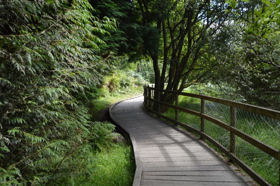 ModerateWoodland Road (Silver Route)4.8 km · 1.8 hr · 1.4 km awayMixed woodland, river path and lake boardwalk on a 4.8 km loop
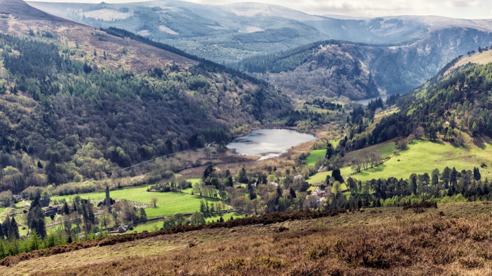 ModerateBrockagh Mountain10.6 km · 3.8 hr · 1.4 km awaySustained climb from Laragh to open heather and broad Glendalough views
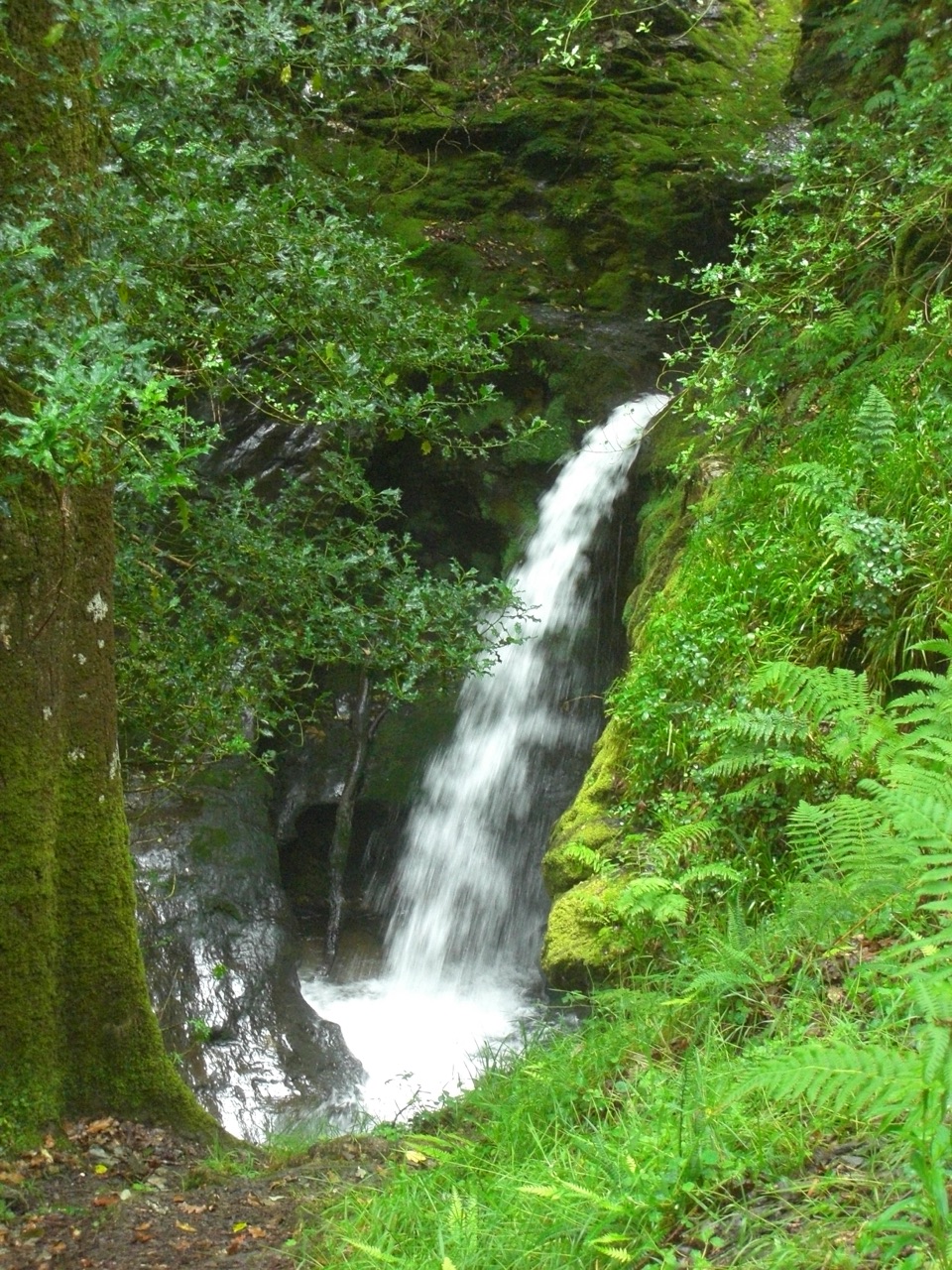 ModeratePoulanass and St. Kevin’s Cell1 km · 45 min · 1.5 km awaySteep waterfall climb to a monastic ruin above the Upper Lake
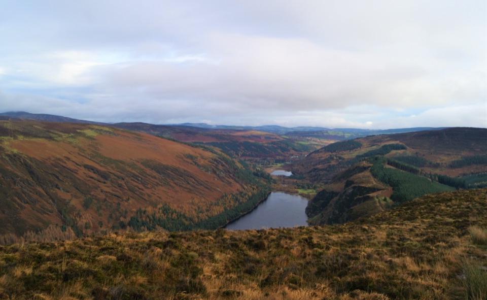 ChallengingDerrybawn, Cullentragh Mountain, Mullacor, and Lugduff SE Top Loop14.3 km · 5.8 hr · 1.5 km awayFour summits, boggy ridges and lake views on a long Glendalough loopChallengingSpinc Trail (Short Route)6 km · 2.3 hr · 1.5 km awaySteep climb past Poulanass to a boardwalk high above Upper Lake
 ChallengingSpinc and Glenealo Valley (White Route)9.5 km · 3.3 hr · 1.6 km awaySteep steps to cliff-top views over two lakes and a deer-filled valleyChallengingSpinc and the Wicklow Way (Red Route)11.5 km · 4.3 hr · 1.6 km awayBoardwalk cliff path, twin-lake views and a hard 11.5 km mountain loop
 EasyMiners’ Road Walk (Purple Route)5 km · 1.2 hr · 1.6 km awayFlat lakeshore track through Scots pine to a ruined mining village
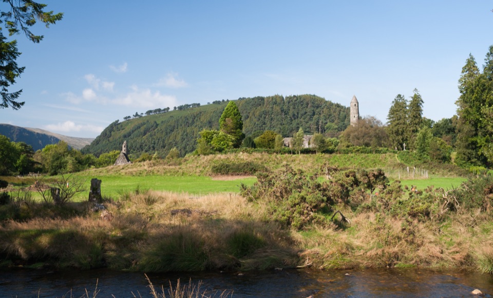 Sight · At the trailheadGlendalough Monastic Site and Visitor CentreSixth-century round tower and stone churches in a glacier-carved valley
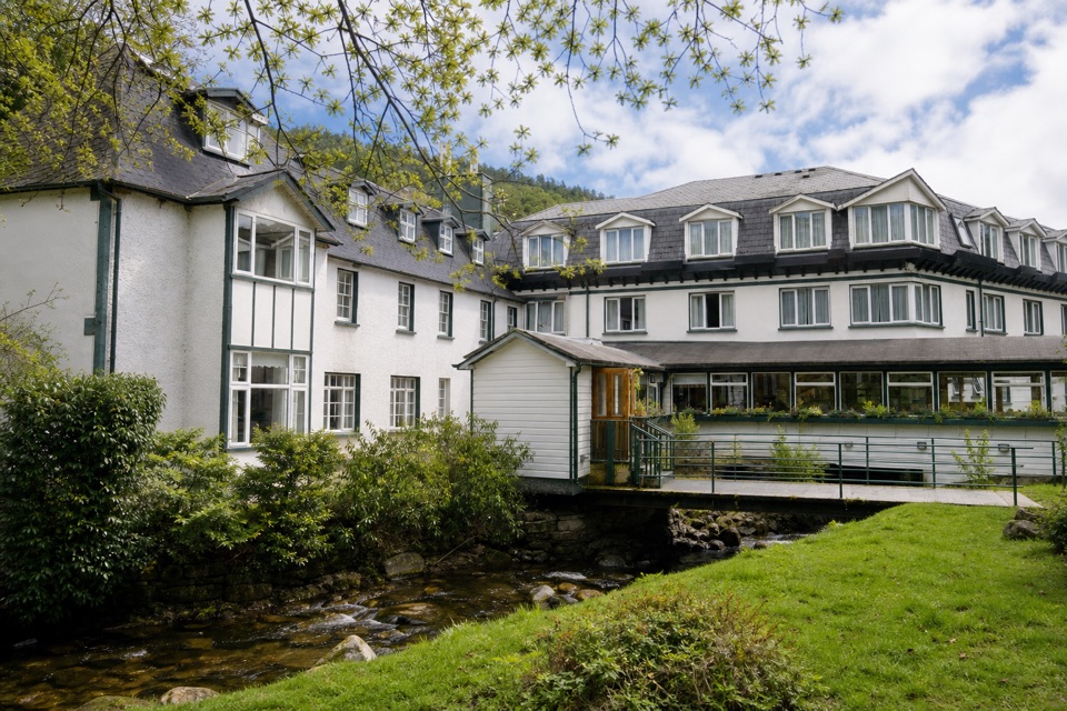 Lodging · 0.2 km awayThe Glendalough HotelStay in the valley itself, then walk before the crowds arrive
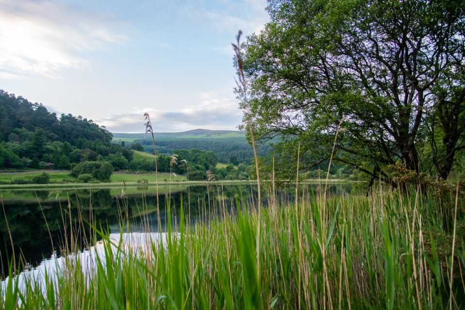 Sight · 0.7 km awayGlendalough Lower LakeReed-fringed glacial water on the boardwalk route to the Upper Lake
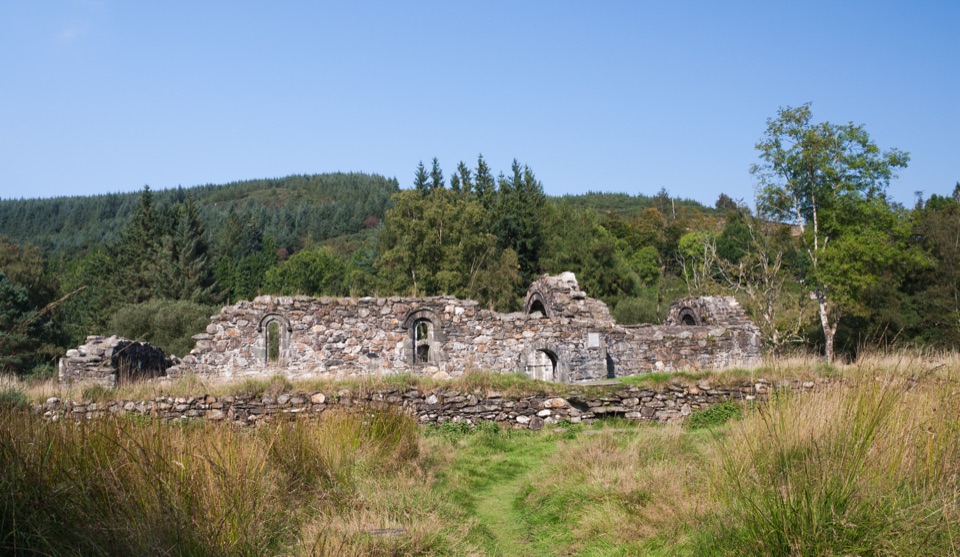 Sight · 0.8 km awaySaint Saviour's PrioryFinely carved Romanesque arch and window, reached on a woodland walk
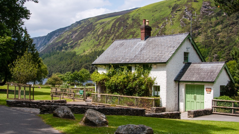 Visitor center · 1.5 km awayWicklow Mountains National Park Information OfficeMaps, knowledgeable staff and a nature display near Upper Lake
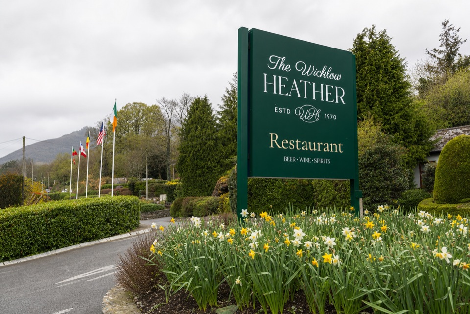 Restaurant · 1.6 km awayWicklow Heather RestaurantFifty-plus years of Irish cooking beside rare literary first editions
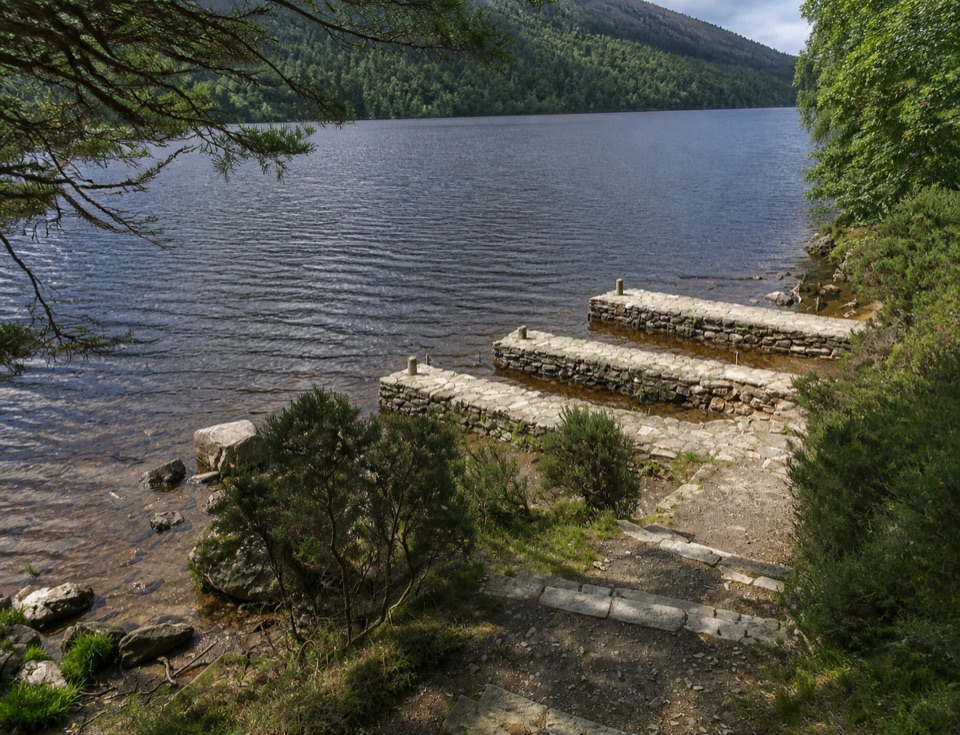 Sight · 1.6 km awayThree Stone DocksThree Stone Docks: low stone piers on the glacial Upper Lake
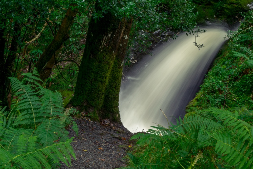 Sight · 1.7 km awayPoulanass WaterfallSteep wooded climb to dark plunge pools above the Upper Lake
Parkwolf’s Wicklow Mountains ranking
Spinc and Glenealo Valley (White Route)Challenging · 9.5 km The Wicklow WayChallenging · 130 km
 Djouce Mountain from J.B. Malone Car ParkChallenging · 7.4 km
 Tonelagee & Lough Ouler TrailChallenging · 7.9 kmSpinc and the Wicklow Way (Red Route)Challenging · 11.5 kmMiners’ Road Walk (Purple Route)Easy · 5 km
The audio tour guide for the drive, plus offline maps, trails, and wildlife heatmaps for when the signal drops.