Parking
Use the roadside access at Brockagh Lane / Brockagh Carpark near Laragh, at the route start. Park fully off the road and keep local access clear.
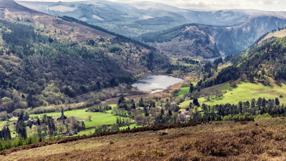
Wicklow Mountains National Park, WW
Sustained climb from Laragh to open heather and broad Glendalough views
Overview
From the upper slope and summit you look out over Glendalough Valley with both lakes in one frame, the monastic settlement below, and rolling Wicklow uplands stretching away on all sides. For photography, the southeast slope is the spot: heather in the foreground, valley and lakes below, plenty of depth in the light.
 Parkwolf’s verdictThe payoff
Map & elevation
Plan your hike

The highest, rockiest slopes around here are a summer buffet for grizzly bears.
Wicklow Mountains Tour Guide
Parkwolf is a GPS audio tour guide for Wicklow Mountains National Park. As you drive, it chimes in with what’s ahead: hidden gems, upcoming stops, history, geology, and wildlife, right through your car’s speakers.
Recorded for this trailhead
Brockagh Mountain“You’re approaching the walking access for Brockagh Mountain near Laragh. The southeast top already gives you views over Glendalough and both lakes, before you reach the main summit.”
Plays as you drive up to this trailhead in the Parkwolf Wicklow Mountains Tour Guide.
More stories near here in the app
“Fantastic app with many points of information… It’s great to just turn on while you’re driving and it gives you an audio tour of the national Park. We love it!!!!”


Trail guide
A 10.61 km (6.59 mi) round-trip out-and-back from the roadside at Brockagh Lane near Laragh, climbing over Brockagh Mountain SE Top to the broad summit at about 550 m, then retracing the same line. Budget around 3.75 hours, with 3.5 to 4 hours being the realistic window. We rate it 6 out of 10: moderate to strenuous, mostly because the climb is long and steady rather than technical.
You start low, around 179 m, on a gravel forest track that eases you into the gradient under trees. Connected paths link upward out of the woodland and onto open ground, where the surface turns to heather and rough upland grass. The SE Top comes first and already gives you the view, then the ground broadens and flattens toward the main summit. The descent is the same corridor in reverse, which makes route-finding easier on the way down and gives you the Glendalough panorama in front of you for most of it.
Carry enough water for the whole route, out and back.
Access is roadside near Laragh, and parking is limited. Park fully off the road, leave local access clear, and be prepared to come back another time if there is no safe space. Dogs are welcome but must stay on a leash for the whole walk.
The Spinc trails are the better call if you want marked paths and a more developed visitor experience, especially in poor visibility. Brockagh is quieter and more open, and less forgiving when the cloud is down. Note also that the Brockagh Red and Blue Loops are separate waymarked routes from a different starting point, not this walk.
Wildlife
 204 sightingsSika DeerMost seen around 7 AMSighting map
 18 sightingsRed DeerMost seen around 7 AMSighting map
 15 sightingsGrey HeronMost seen around 7 PMSighting map
 11 sightingsCommon RavenMost seen around 8 AMSighting map
 28 sightingsEuropean Common FrogMost seen around 7 PMSighting map
 11 sightingsViviparous LizardMost seen around 11 AMSighting map
Sighting maps show where each species has been reported across Wicklow Mountains. Wildlife moves, so no sighting is guaranteed.
Keep exploring
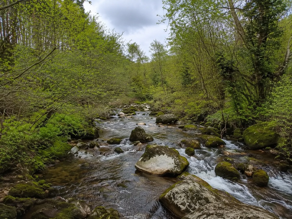 EasyBrockagh Blue Loop4.4 km · 1.8 hr · 0.3 km awayEasy 4.5 km forest loop at Brockagh, touching the Wicklow Way
 ChallengingThe Spinc and Camaderry Loop17.9 km · 6.8 hr · 1.4 km awayBoardwalk cliffs above the lakes, then open ground to Camaderry
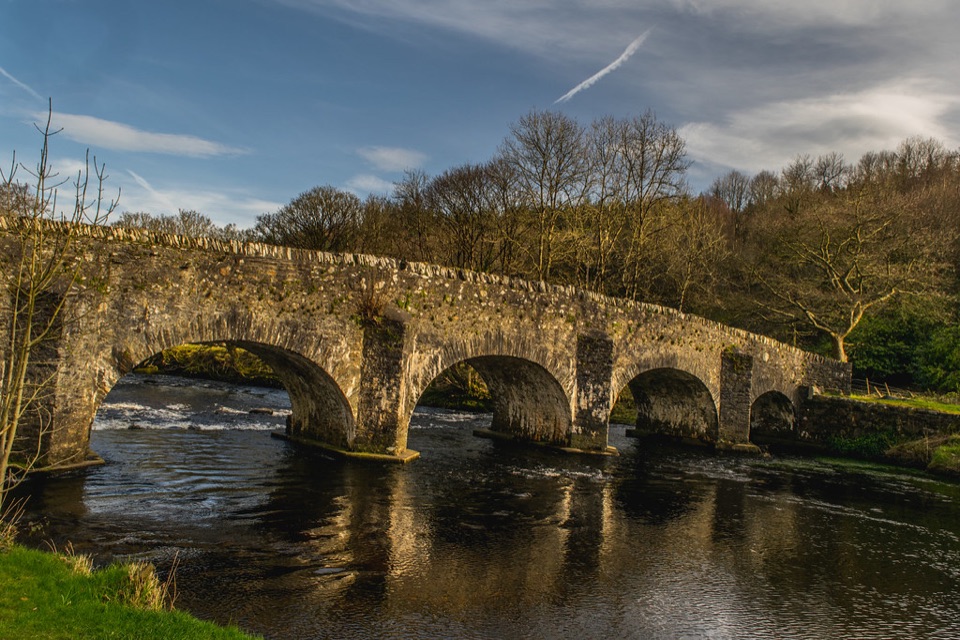 ModerateThe Avonmore Way12.9 km · 3.5 hr · 1.9 km awayOne honest climb, ridge-road views, then bluebell oakwoods by the river
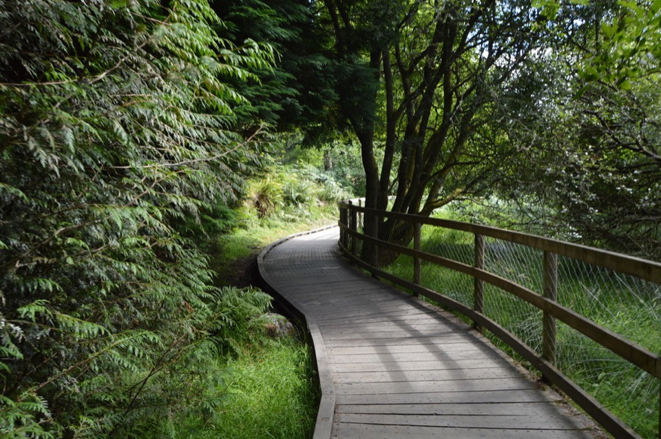 ModerateWoodland Road (Silver Route)4.8 km · 1.8 hr · 2.8 km awayMixed woodland, river path and lake boardwalk on a 4.8 km loop
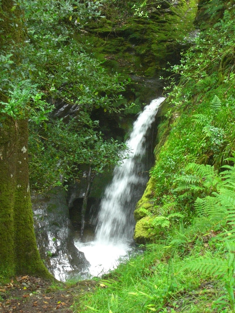 ModeratePoulanass and St. Kevin’s Cell1 km · 45 min · 2.9 km awaySteep waterfall climb to a monastic ruin above the Upper Lake
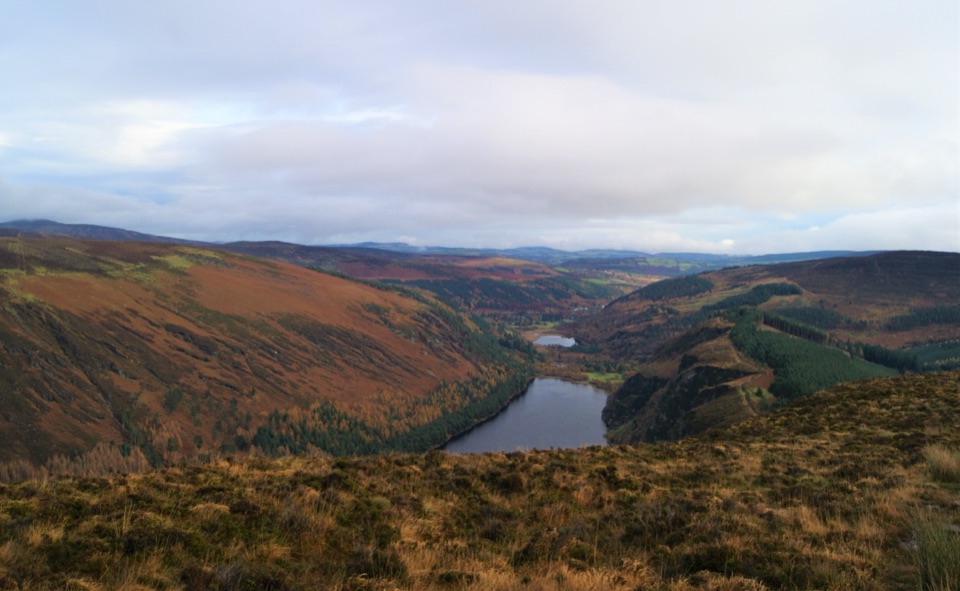 ChallengingDerrybawn, Cullentragh Mountain, Mullacor, and Lugduff SE Top Loop14.3 km · 5.8 hr · 2.9 km awayFour summits, boggy ridges and lake views on a long Glendalough loopChallengingSpinc Trail (Short Route)6 km · 2.3 hr · 2.9 km awaySteep climb past Poulanass to a boardwalk high above Upper Lake
 ChallengingSpinc and Glenealo Valley (White Route)9.5 km · 3.3 hr · 2.9 km awaySteep steps to cliff-top views over two lakes and a deer-filled valley
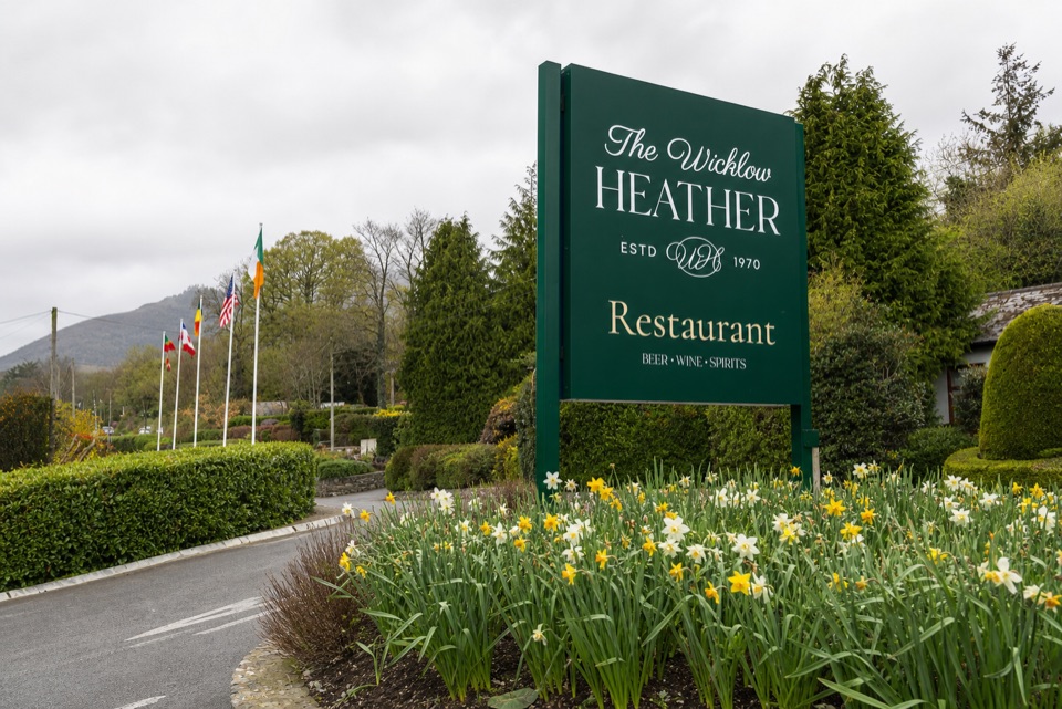 Restaurant · 0.2 km awayWicklow Heather RestaurantFifty-plus years of Irish cooking beside rare literary first editions
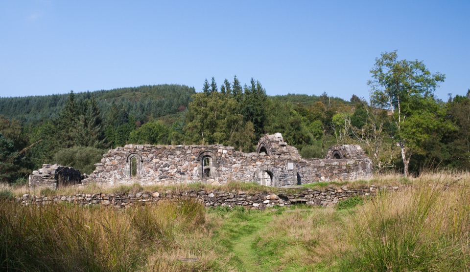 Sight · 0.7 km awaySaint Saviour's PrioryFinely carved Romanesque arch and window, reached on a woodland walk
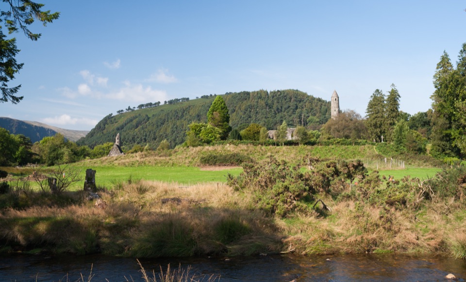 Sight · 1.4 km awayGlendalough Monastic Site and Visitor CentreSixth-century round tower and stone churches in a glacier-carved valley
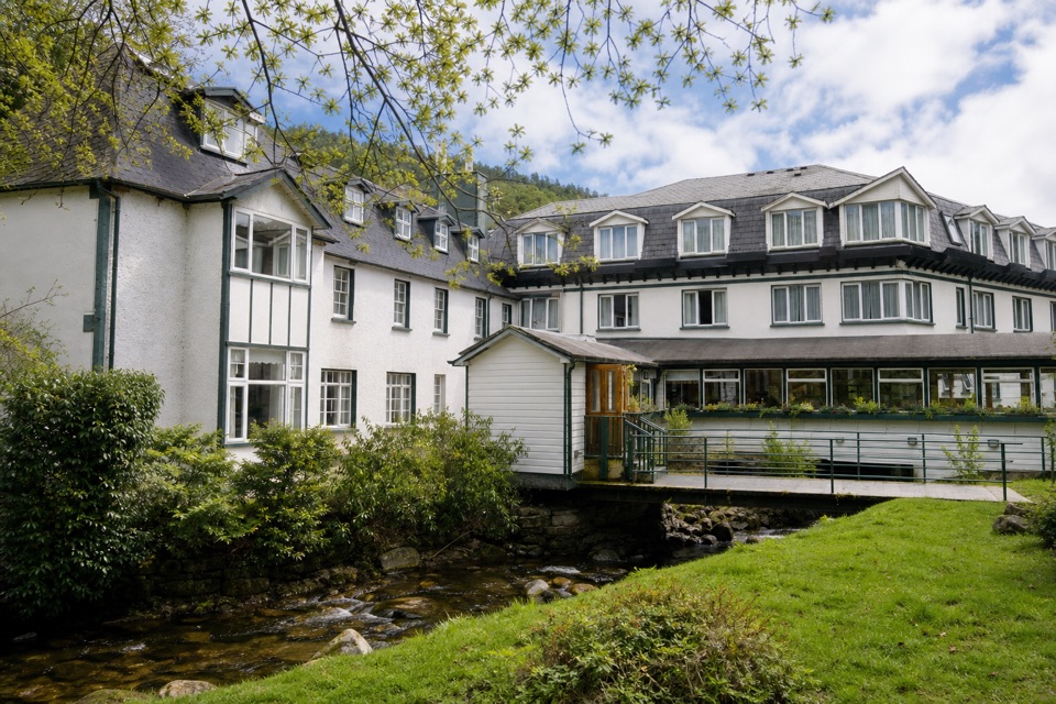 Lodging · 1.5 km awayThe Glendalough HotelStay in the valley itself, then walk before the crowds arrive
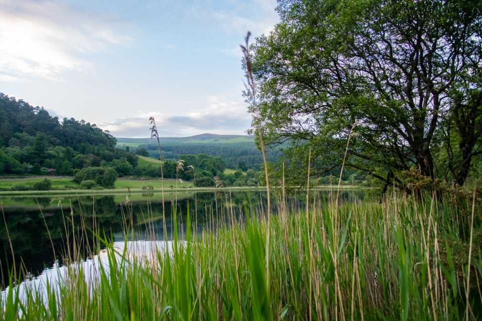 Sight · 2.1 km awayGlendalough Lower LakeReed-fringed glacial water on the boardwalk route to the Upper Lake
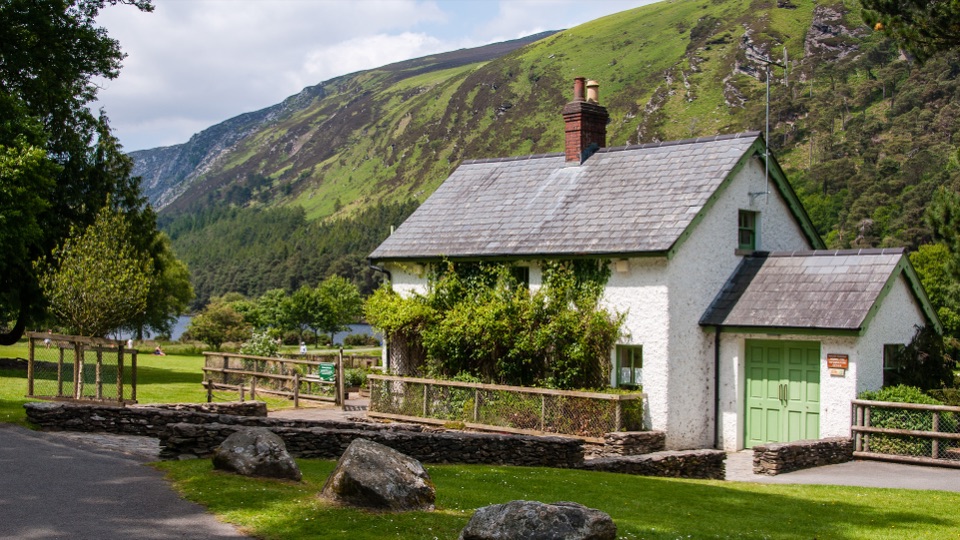 Visitor center · 2.9 km awayWicklow Mountains National Park Information OfficeMaps, knowledgeable staff and a nature display near Upper Lake
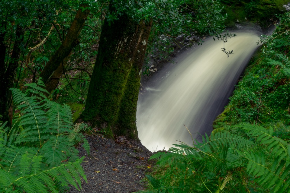 Sight · 3 km awayPoulanass WaterfallSteep wooded climb to dark plunge pools above the Upper Lake
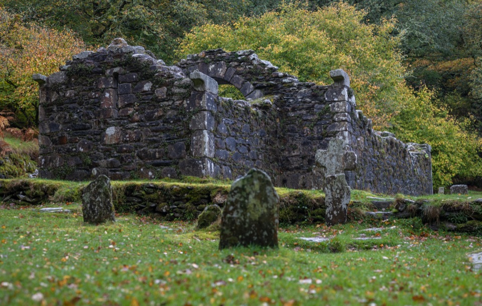 Sight · 3 km awayReefert ChurchRuined granite church among trees, burial place of the kings
Parkwolf’s Wicklow Mountains ranking
Spinc and Glenealo Valley (White Route)Challenging · 9.5 km The Wicklow WayChallenging · 130 km
 Djouce Mountain from J.B. Malone Car ParkChallenging · 7.4 km
 Tonelagee & Lough Ouler TrailChallenging · 7.9 kmSpinc and the Wicklow Way (Red Route)Challenging · 11.5 km
 Miners’ Road Walk (Purple Route)Easy · 5 km
The audio tour guide for the drive, plus offline maps, trails, and wildlife heatmaps for when the signal drops.