Parking
Park at Mile 18.9 on the north side of Nabesna Road. The trailhead is farther east on the north side; published NPS references place it around Mile 19.2–19.5.

#5 of 13 trails in Wrangell-St. Elias
Wrangell-St. Elias National Park, AK
Quiet valley-to-cabin walk with creek hops and Wrangell views
Overview
This is a moderate, out-and-back to the Caribou Creek public-use cabin: about 6.0 miles total (3 miles one way) with roughly 800 feet of gain to the cabin. Some recent GPS tracks clock a bit longer day and closer to ~1,100 feet total gain if you wander, but plan on a solid half-day. The tread starts like an old ATV route—wide in places, occasionally rutted—then narrows into a classic Nabesna valley walk.
Yes—this is one of the more approachable Nabesna Road hikes: real Wrangell scenery, a satisfying destination, and a good taste of the park’s big, quiet country. On your drive, easy photo stops like Twin Lakes or Kettle Lake make a nice add-on if conditions allow.
 Parkwolf’s verdictIs it worth it?
Map & elevation
Plan your hike

The highest, rockiest slopes around here are a summer buffet for grizzly bears.
Wrangell-St. Elias Tour Guide
Parkwolf is a GPS audio tour guide for Wrangell-St. Elias National Park. As you drive, it chimes in with what’s ahead: hidden gems, upcoming stops, history, geology, and wildlife, right through your car’s speakers.
See the Wrangell-St. Elias audio tourRecorded for this trailhead
Caribou Creek Trail and Public-Use Cabin“The trailhead for Caribou Creek is just ahead. It's a moderate, six-mile round-trip hike that leads up a quiet valley to a public-use cabin.”
Plays as you drive up to this trailhead in the Parkwolf Wrangell-St. Elias Tour Guide.
More stories near here in the app
“Fantastic app with many points of information… It’s great to just turn on while you’re driving and it gives you an audio tour of the national Park. We love it!!!!”


Trail guide
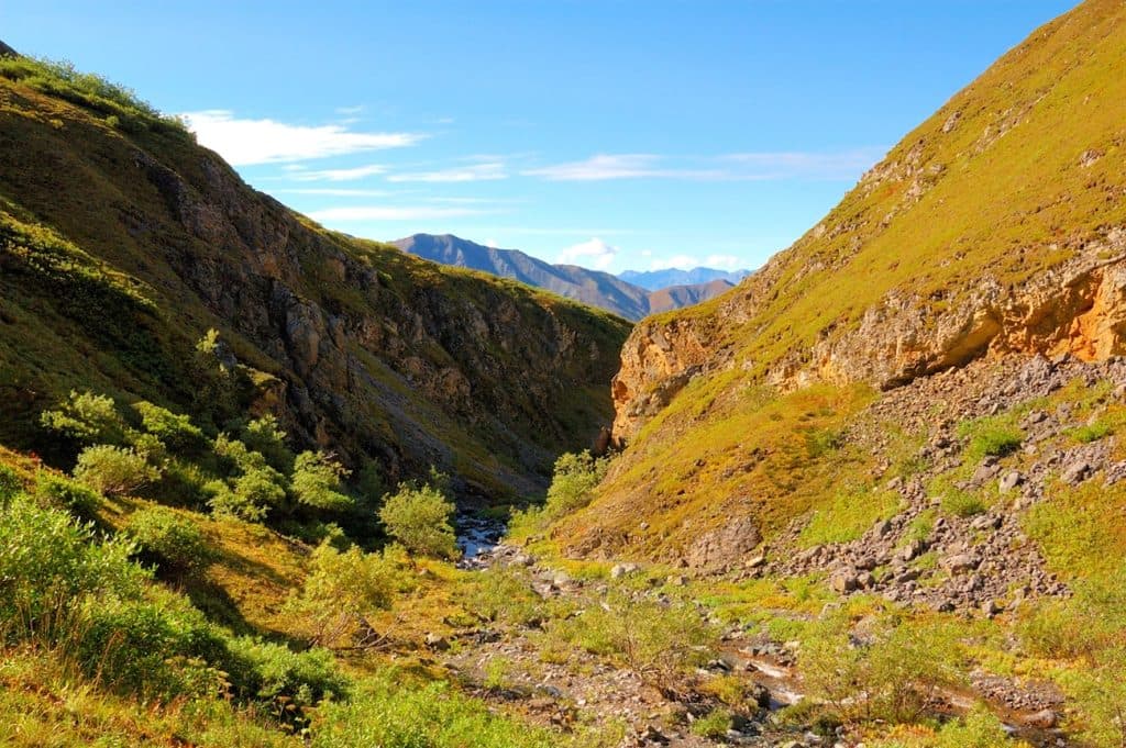
You’ll step through open tundra flats into spruce–alder–willow forest with seasonal wildflowers (look for bluebells, prickly rose, monkshood, and tufts of Alaska cottongrass). It’s good habitat for big mammals—wolf, bear, and moose sign is common—so make noise, carry bear spray, and give wildlife space. Views open up down-valley and toward the Wrangells as you near the cabin.
You’ll cross Caribou Creek multiple times. In low flow, you can often rock-hop; after rain or during melt, expect to wade. Waterproof boots, extra socks, and trekking poles are worth their weight here. Sections of the former ATV track hold mud and ruts—nothing technical, just plan on slower, messier steps.
The Caribou Creek Cabin sits a little over 3 miles from the road and makes a peaceful turnaround. Reservations are required; confirm details and current access with the Slana Ranger Station before heading out. Confident hikers sometimes continue beyond on faint game/use paths for higher viewpoints—only do so if you’re comfortable with off-trail navigation and returning the same way.
Trailhead is on the north side of Nabesna Road beyond the Mile 18.9 parking area; NPS references place it around Mile 19.2–19.5. Nabesna Road itself is a remote, mostly gravel 42-mile spur with limited or no cell coverage and creek washouts after storms. High-clearance and taking it slow are smart, and carrying a full-size spare isn’t overkill. There are no fuel services in Slana—top off before you turn onto the road. Allow about 1.5 hours each way and check current road/trail conditions at the Slana Ranger Station.
Wildlife
 112 sightingsGrizzly BearMost seen around 9 PMSighting map
 63 sightingsMooseMost seen around 8 PMSighting map
 21 sightingsHumpback WhaleMost seen around 1 PMSighting map
 46 sightingsSteller Sea LionMost seen around 11 AMSighting map
 37 sightingsBlack BearMost seen around 8 PMSighting map
 48 sightingsBald EagleMost seen around 5 PMSighting map
Sighting maps show where each species has been reported across Wrangell-St. Elias. Wildlife moves, so no sighting is guaranteed.
Keep exploring
 ChallengingCopper Lake Trail15.7 mi · 10 hr · 6.5 mi awayRemote 15.7-mile Nabesna ORV corridor; only the first 2.5 miles is generally suitable for day hiking.ChallengingSoda Lake Trail29 mi · 1 day · 11.3 mi awayRemote 29-mile round trip to a landslide-dammed lake via creek crossings, tundra, and route-finding.
 ChallengingTrail Creek- Lost Creek Loop22.5 mi · 1.3 days · 11.4 mi awayStrenuous off-trail loop over a 6,000-foot pass between Trail and Lost Creeks
Parkwolf’s Wrangell-St. Elias ranking
The audio tour guide for the drive, plus offline maps, trails, and wildlife heatmaps for when the signal drops.