Place · 4.4 mi away
Challenging

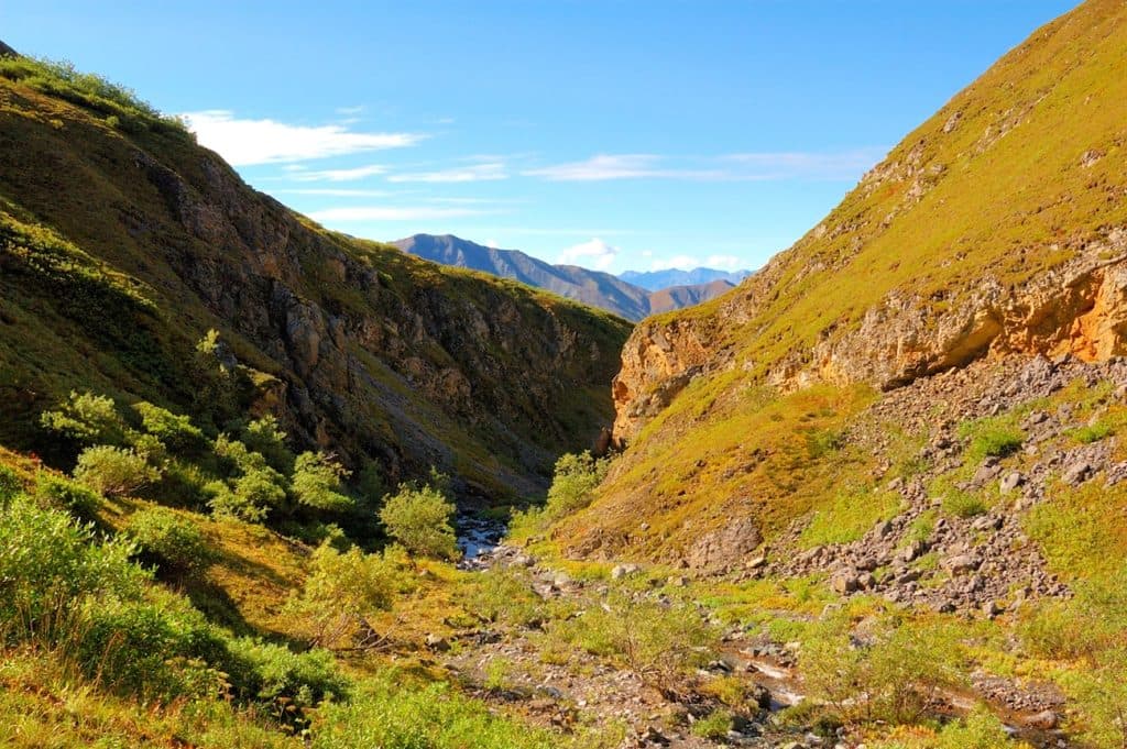
Dixie Pass is a wild, lightly traveled route on the south side of Wrangell–St. Elias. Expect a true Alaskan mixed-bag: forest walking into a creek-cut canyon, multiple cold fords, and a long climb to an alpine pass with big-country views, including Mount Blackburn on clear days. It’s beautiful—but it’s not a manicured trail.
Plan on roughly 8–10 miles one way (16–20 miles total as an out-and-back). The lower miles follow an evident path along the creek. As you climb, the tread fades into a user path and then into open-country “route.” If you lose the track, simply keep following the creek up-canyon toward the pass. There are usually at least two fords; when water is high, the canyon section can become impassable and you’ll need to detour on either side.
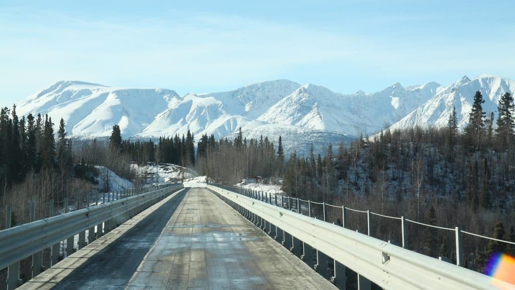
Access is off the McCarthy Road via a rough, single-lane spur. High-clearance is recommended. If conditions look sketchy, park along the McCarthy Road and walk an extra ~4 miles to reach the trailhead. One write-up places the spur parking about 3.8 miles in and a bit past the Nugget Creek access. Land ownership is patchy here; some nearby parking areas have fee boxes on Native corporation lands. Carry cash, respect posted signs, and verify land status/easements with rangers before you go.
The practical window runs June through late August on this south-side route. June is best for lower elevations to dodge lingering snow; July is prime overall; August can mean fewer bugs at higher elevations. September can turn rainy, with early wintry conditions up high—better to keep it lower then. No matter the month, start creek crossings early in the morning when flows are typically lower.
This is wilderness travel. Multiple fords, brush, and sections of off-trail navigation are the norm. In high water, the canyon crux may shut you down—don’t force it. Trekking poles and solid ford technique help; be ready to turn back. You’re in bear country; make noise, carry bear spray where you can reach it, and store food properly (the park can loan bear-resistant canisters). Avoid camping right in the pass due to wildlife use.
Creekside benches offer plenty of reasonable camps; the pass itself is a no-go for camping. No permits are required for backcountry travel here, though large group limits apply. If you want something with clearer tread and a set destination, the nearby Nugget Creek Trail runs 15 miles one way to a public-use cabin—very different vibe, but in the same corridor.
Confident backcountry hikers who enjoy route-finding and don’t mind wet feet. If you’re new to Alaskan off-trail travel, consider going with experienced partners or hiring a local guide. If this whets your appetite for bigger traverses, the Wrangell Plateau-to-Dixie Pass fly-in route ends right here—same exit, much bigger commitment.
Rough spur off the McCarthy Road to a small parking area (~3.8 mi in); high-clearance advised. If muddy or rutted, park on McCarthy Road and walk ~4 miles to the trailhead. Watch for private/Native lands and possible fee boxes; carry cash and respect posted access.
Multiple cold creek fords and a canyon crux that can be impassable at high flows; upper route is off-trail. Carry bear spray, use proper food storage, and avoid camping in the pass. Be prepared to turn back if water is unsafe.