
Place
Challenging
Fireweed Mountain is a demanding day climb above the McCarthy–Kennecott valley, topping out around 6,956 feet. Expect an 11-mile round-trip effort with about 5,500 feet of elevation gain and 8–10 hours on your feet. This is not a maintained trail—it’s a route. The payoff is big: sweeping summit views across the valley, and on clear days, sightlines to Mount Blackburn and Regal Mountain.
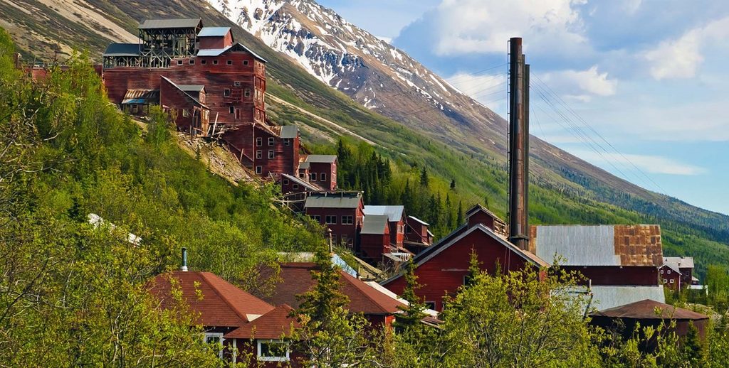
The route begins at the Park Service/Information Station area in McCarthy. Flagging typically leads you to an unmaintained footpath before the travel turns rougher. The lower slopes involve brush and real bushwhacking; higher up, the mountain steepens into loose rock and scree with spots of exposure. Footholds are unreliable past the first several miles, and the ridgeline near the summit is slow and technical with frequent elevation changes.
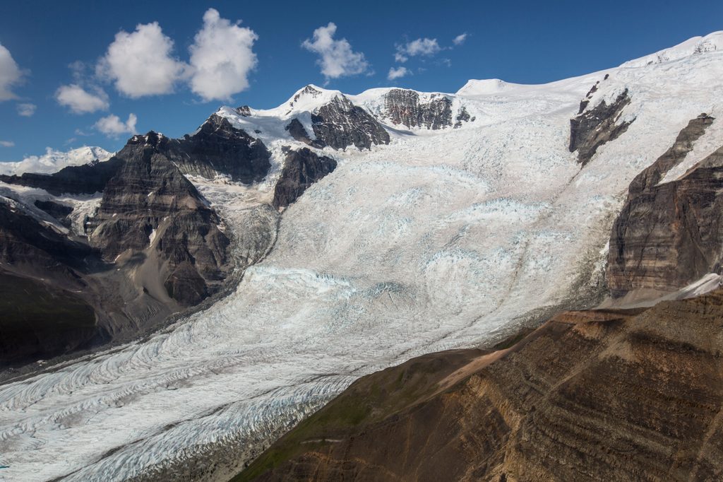
Geologically, you’re in the Wrangell Mountains—think steep, rocky relief that explains the scree and sidehilling. The mountain’s name nods to the vivid fireweed flowers that thrive on disturbed slopes after fires. The broader setting is subarctic: cool summers, long snowy winters, and weather driven by Gulf of Alaska systems that can turn conditions quickly.
Treat this as a backcountry route: serious route finding is required. Carry and know how to use a paper topo (USGS McCarthy B-6 is the go-to) and a digital backup. The land around McCarthy/Kennecott is a patchwork of jurisdictions—know where you are and respect private parcels. Water access becomes scarce on the ridge; tank up before committing upward and plan conservatively. Helmets aren’t a bad idea for loose rock. Set a turnaround time—progress on the upper mountain is slower than you think.
Aim for early or late season if possible—less dense vegetation down low and fewer bugs. Clear-weather windows from May through June tend to be the most favorable for views and travel. Start early regardless; this is a full-day push, and afternoon weather can build. Given the subarctic environment, be prepared for cold, wind, and rapidly changing conditions even in summer.
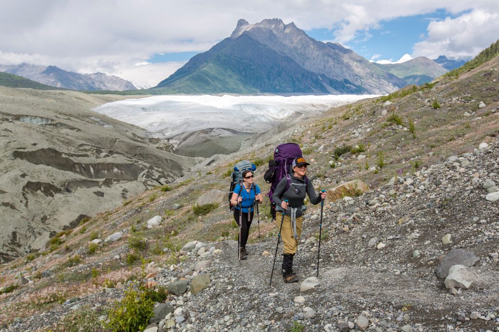
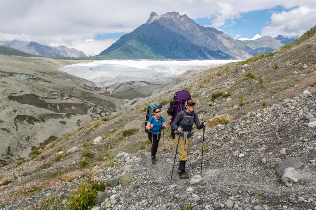
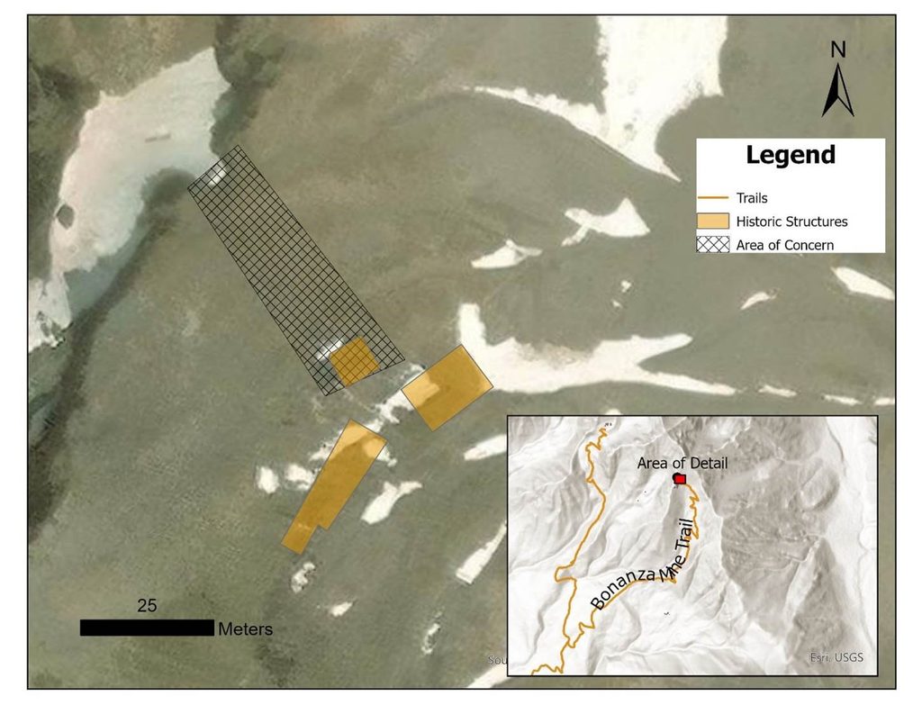
For experienced, self-reliant hikers who enjoy off-trail problem solving, absolutely—the solitude and panorama are hard to beat. For casual hikers looking for a maintained path, this will feel punishing and may be unsafe. If you want big scenery on more established routes nearby, consider the Root Glacier or the Bonanza/Jumbo mine hikes as alternatives.
Park at or near the Park Service/Information Station in McCarthy; the route begins there. Confirm local land status and parking guidance on arrival.
Unmaintained route with extensive bushwhacking, very steep loose scree, and sections of exposure. Limited water on the ridge. Carry USGS McCarthy B-6 maps and a GPS backup; expect slow travel and set a firm turnaround time. Weather shifts fast in a subarctic climate—start early and be prepared for cold, wind, and poor visibility. Know land status around McCarthy/Kennecott and respect private property.
Place
Place
Place
Place
Moderate
Moderate
Challenging
Challenging

Parkwolf Tour Guide
