
Place · 0 mi away
Challenging
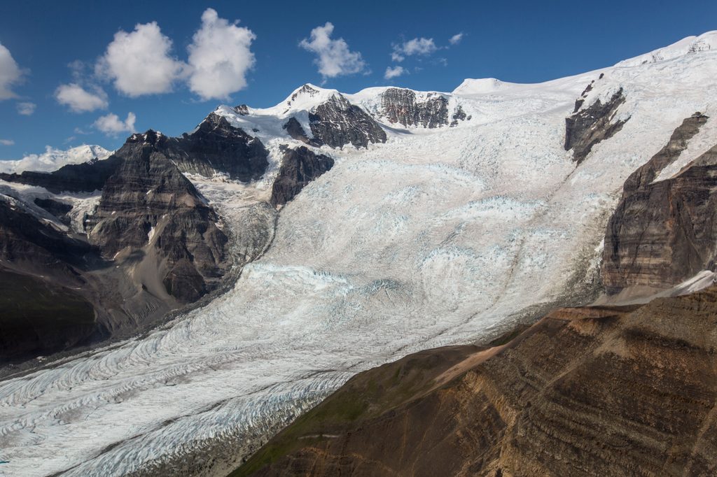
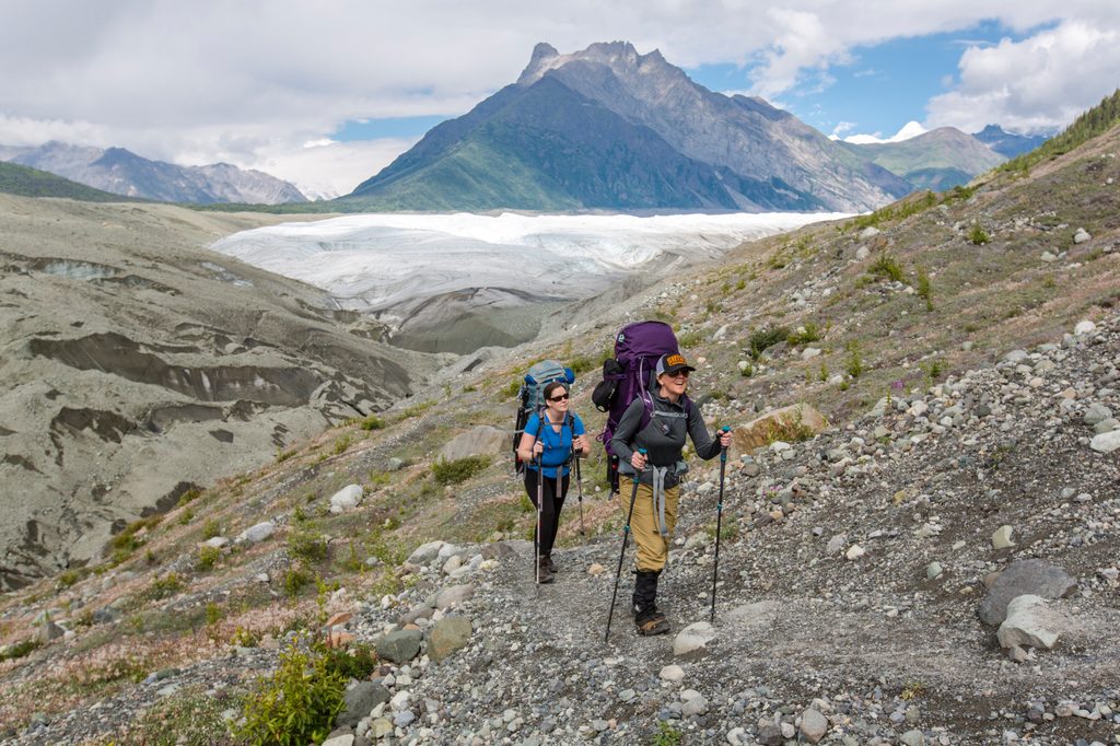
This is a big, raw Alaska outing that starts easy and turns rugged. The route begins on the maintained Root Glacier Trail out of Kennecott, then leaves the path for rough moraine travel to reach Erie Lake and the base area of the Stairway Icefall—a colossal wall of ice dropping thousands of feet from the high Wrangells. Expect a 7-mile round trip with about 1,640 feet of gain if you turn around at the typical viewpoint. The farther you explore around the lake and ice blocks, the more the mileage and effort balloon.
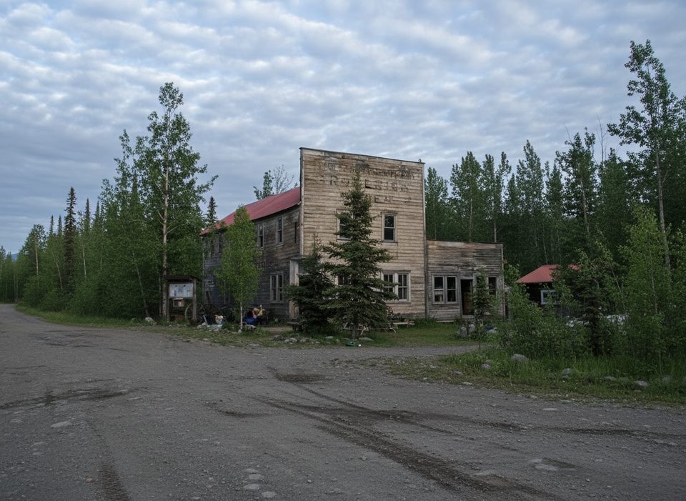
From Kennecott, follow the Root Glacier Trail past the glacier’s toe and a rockslide to a popular camping area with a bear-proof food storage box. From there the character changes: descend carefully onto the moraine, then head north off-trail with steep cliffs on your right. You’ll curve around a point to reach Erie Lake and an up-close perspective on the Stairway Icefall. Travel here is slow—think loose rock, uneven footing, and cold glacial streams. Depending on line and conditions, short glacier or snow/ice crossings may be involved. Waterproof boots and traction (microspikes/crampons) are recommended.
Summer into early fall is the norm. Erie Lake’s state changes with the season: later in the year it can partially or fully drain, exposing massive ice blocks and allowing closer approaches; earlier season generally means more water and trickier crossings. Warm afternoons can also swell streams, so earlier starts can help with water levels. This is bear country; use the bear box if you camp and carry spray.
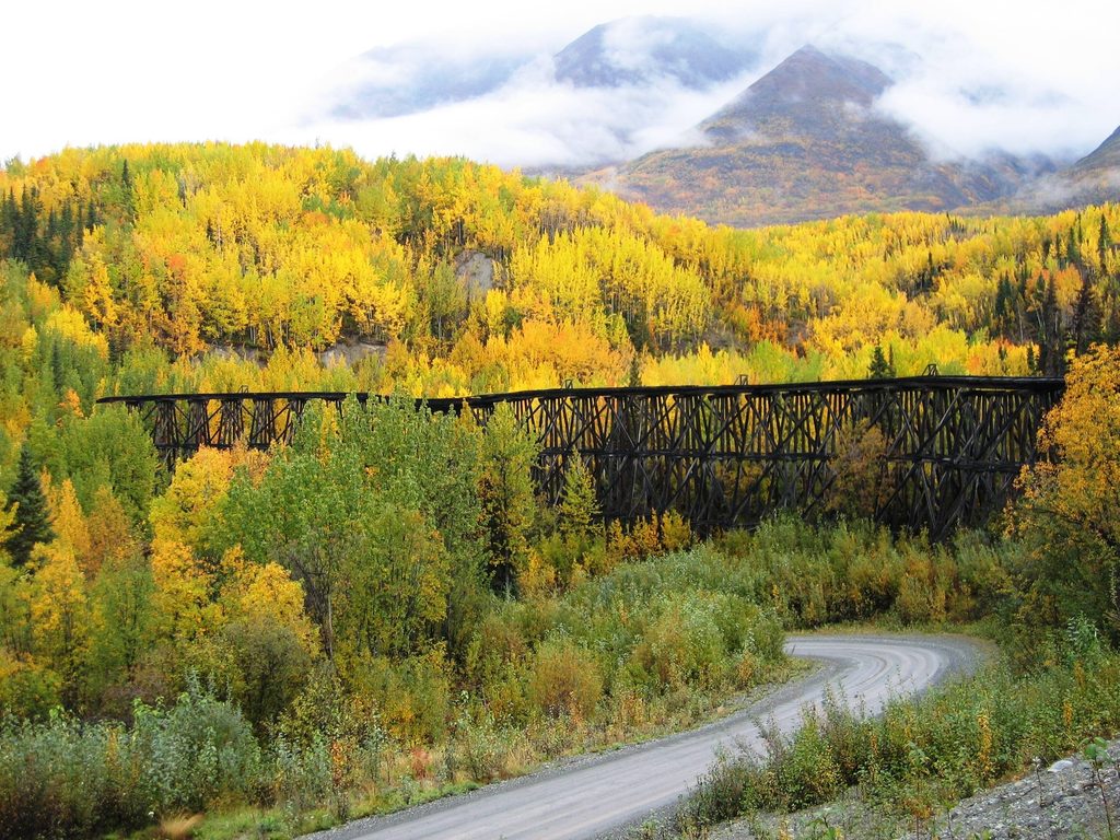
You’ll park at the end of the McCarthy Road before the Kennecott River, cross the footbridge on foot or bike, then either walk or catch the seasonal private shuttle about 5 miles up to Kennecott to start the hike. Note that some shuttles don’t allow dogs. The McCarthy Road itself is a slow 60-mile gravel drive with potholes and washboards, typically passable in summer. It features historic highlights like the Kuskulana Bridge and Gilahina Trestle and generally runs June–September when conditions allow.
On paper it’s “moderate,” but the off-trail moraine and water/ice hazards make this more committing than a typical 7-miler. Footing is the crux. Don’t step onto active glacier surfaces, moats, or thin bridges without proper skills and gear, and consider a local guide if glacier travel is new to you. Registering your backcountry plans and checking current conditions with rangers is strongly recommended.
If you love glacial landscapes and don’t mind rough, off-trail travel, this is a gem—far less crowded than the Root Glacier toe and with outsized payoff. If you want a straightforward day with great views and a real path, stick to the Root Glacier Trail and turn around at the toe; it’s the friendlier, still-beautiful alternative.
Aim for mid-summer to early fall. Weekdays see fewer people on the maintained segment. Mornings bring firmer snow/ice and lower stream flows, plus softer light on the icefall. Late-season drainage of Erie Lake often improves access to the ice blocks and shoreline.
Park at the end of the McCarthy Road before the Kennecott River; cross the footbridge, then walk, bike, or take the seasonal private shuttle 5 miles to Kennecott to start.
Beyond the Root Glacier Trail there is no formal path; expect very rough moraine, cold stream crossings, and possible short glacier/ice travel depending on conditions. Use a bear box where provided, carry bear spray, and avoid glacier hazards without proper skills and gear.
Place · 0 mi away
Place · 0 mi away
Place · 3.8 mi away
Place · 3.9 mi away
Moderate · 0 mi away
Challenging · 3.8 mi away
Easy · 27.6 mi away
Challenging · 38.6 mi away

Parkwolf Tour Guide
