
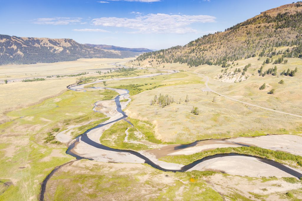
Place · 2.8 mi away
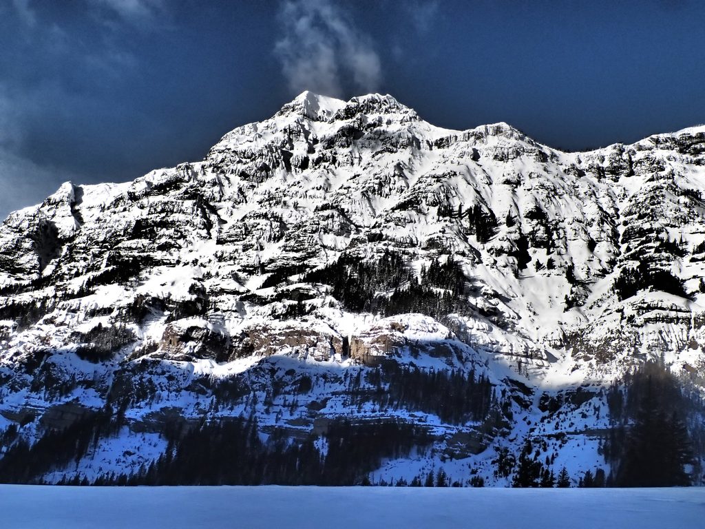
A quick, signed stop along the Northeast Entrance Road (US‑212), the Barronette Peak pullout faces one of the Absaroka Range’s most rugged walls above the Soda Butte/Pebble Creek valley. It’s a favorite for a fast leg‑stretch with big‑mountain vibes—especially if you’re here to scan the cliffs for mountain goats or to catch seasonal waterfalls.
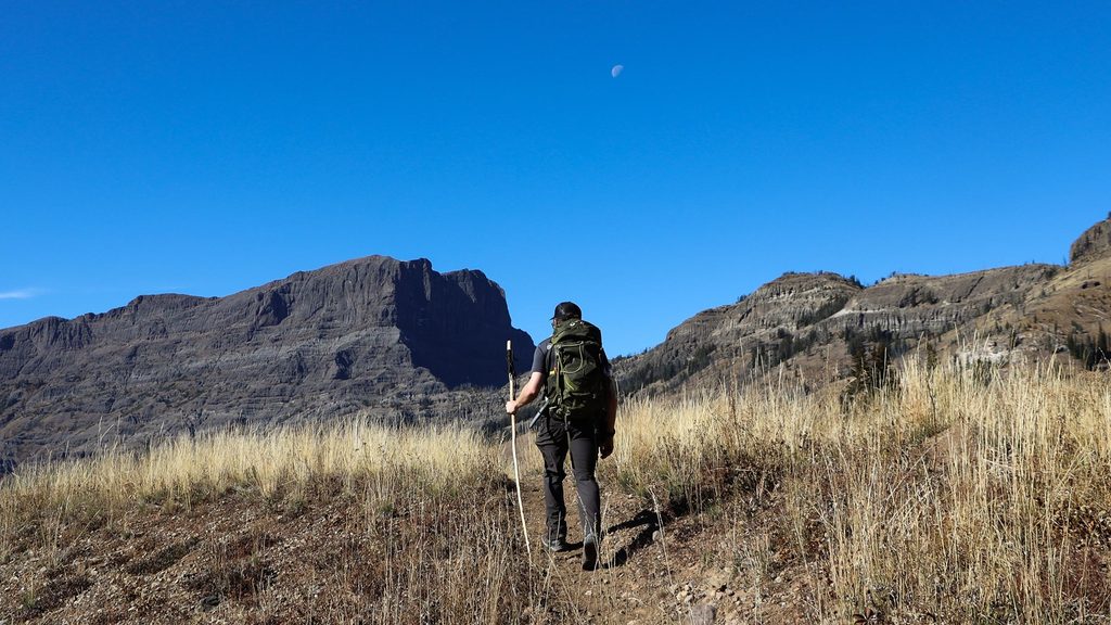
There are no maintained trails to the summit. The common South Ridge ascent is a steep, off‑trail bushwhack from near the Soda Butte Creek bridge, then a straightforward ridge walk—about 5.6 miles round‑trip with roughly 3,320 feet of gain. Expect route‑finding, downed timber, and a real workout; in spring, an ice axe and crampons may be necessary.
North Barronette (10,270T) is a different, more technical outing with loose volcanic breccia, knife‑edge sections, and short Class 4–low 5th moves depending on line—serious terrain where rock quality is a key hazard.
The peak honors early Yellowstone figure John H. “Yellowstone Jack” Baronett(e). The Hayden Survey of 1878 misspelled his name as “Barronette,” and the error stuck—hence today’s official name.
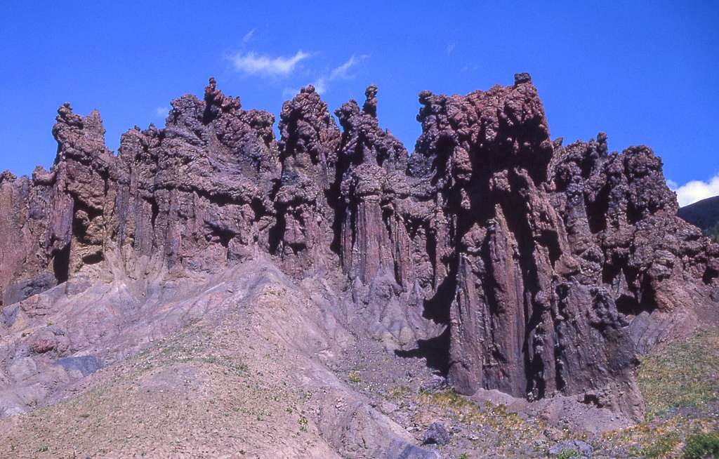
Nearby exposures in the Lamar River/Lamar Canyon area showcase some of the park’s oldest rocks—Precambrian gneiss and schist formed roughly 2.7 billion years ago. It’s a striking window into Yellowstone’s deep basement geology.
There’s no restroom at the pullout. The nearest facilities sit along the same corridor: roadside restrooms and campground toilets near Slough Creek and Pebble Creek, plus restrooms at Soda Butte and Warm Creek picnic areas. Don’t count on potable water at roadside stops—bring your own.
This is grizzly country. Travel smart: carry bear spray and know how to use it, hike in groups, make noise, and store food properly. Weather changes fast in the high country—pack layers and rain gear.
Place · 2.8 mi away
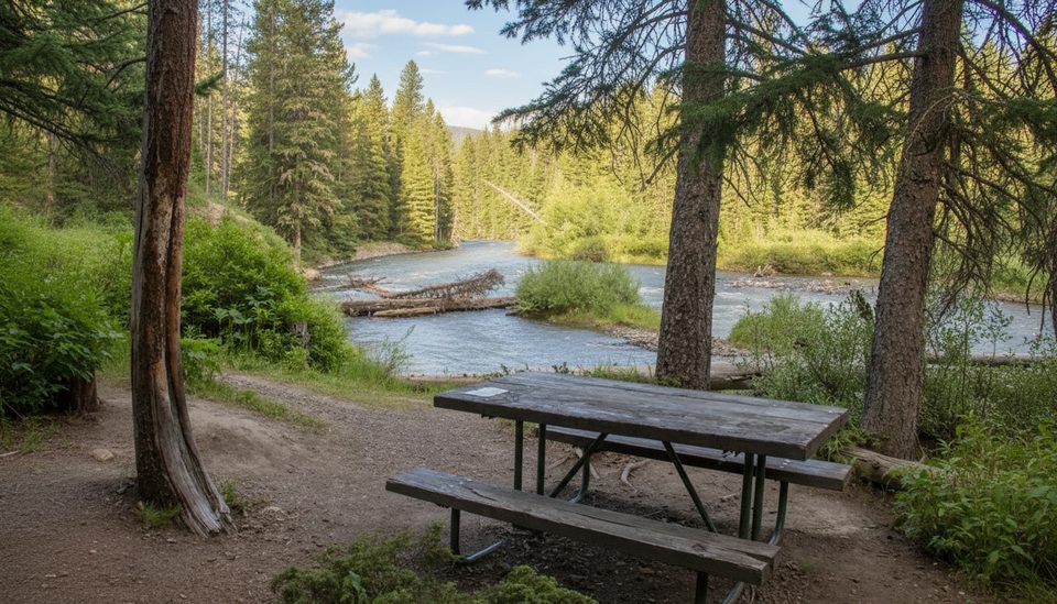
Place · 3.5 mi away
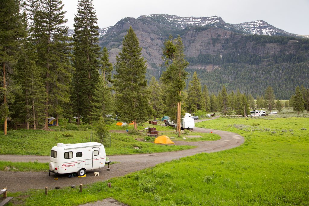
Place · 4.2 mi away
Place · 4.3 mi away
Challenging · 4.2 mi away
Easy · 5.5 mi away
Moderate · 8.5 mi away
Challenging · 8.5 mi away

Parkwolf Tour Guide
