
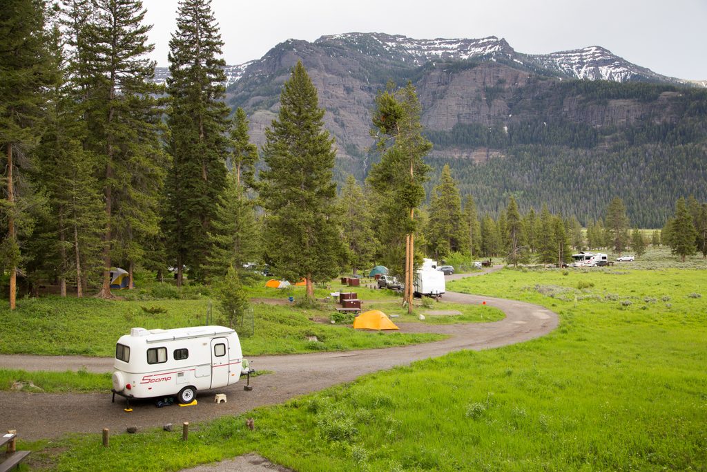
Place · 0.3 mi away
Challenging
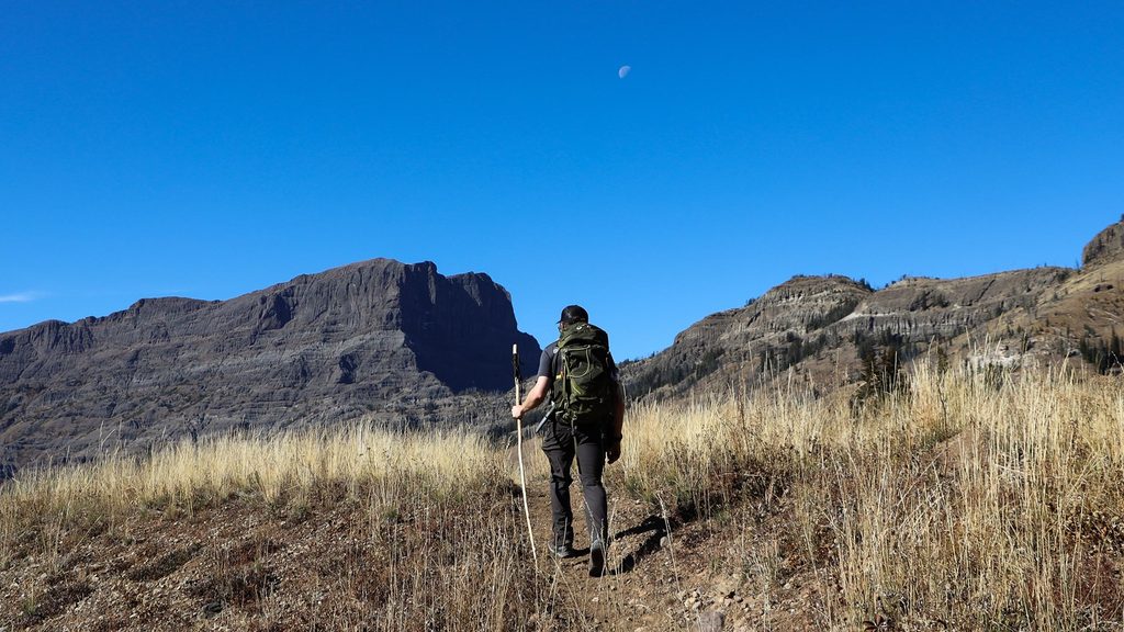
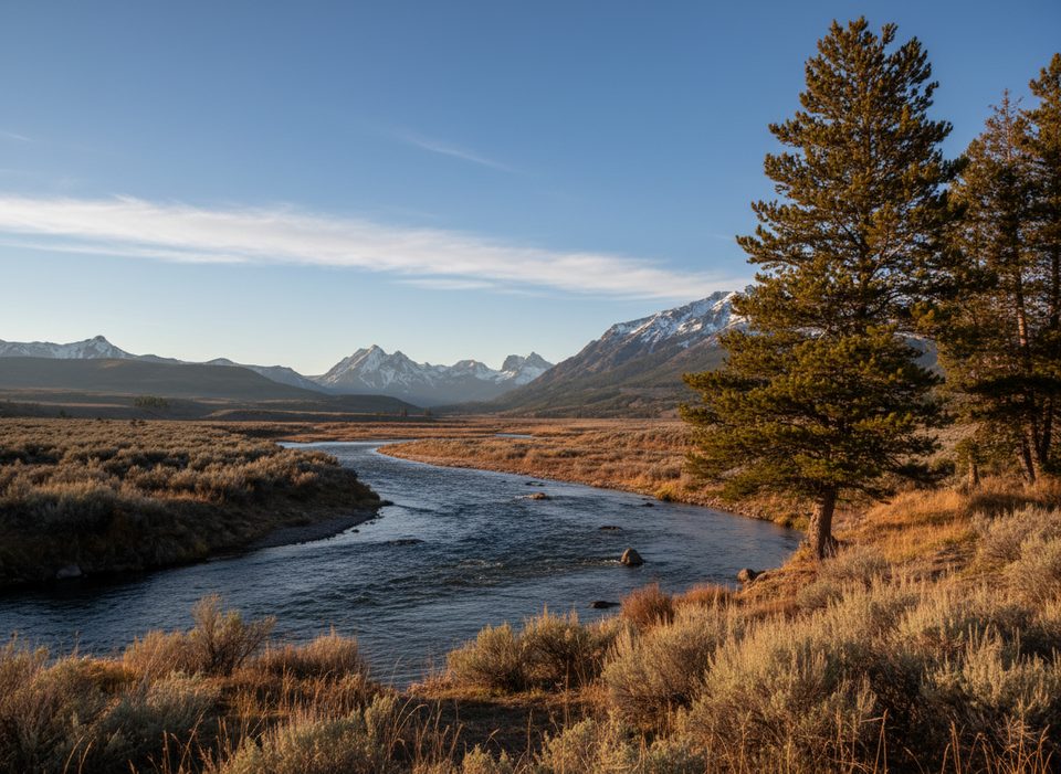
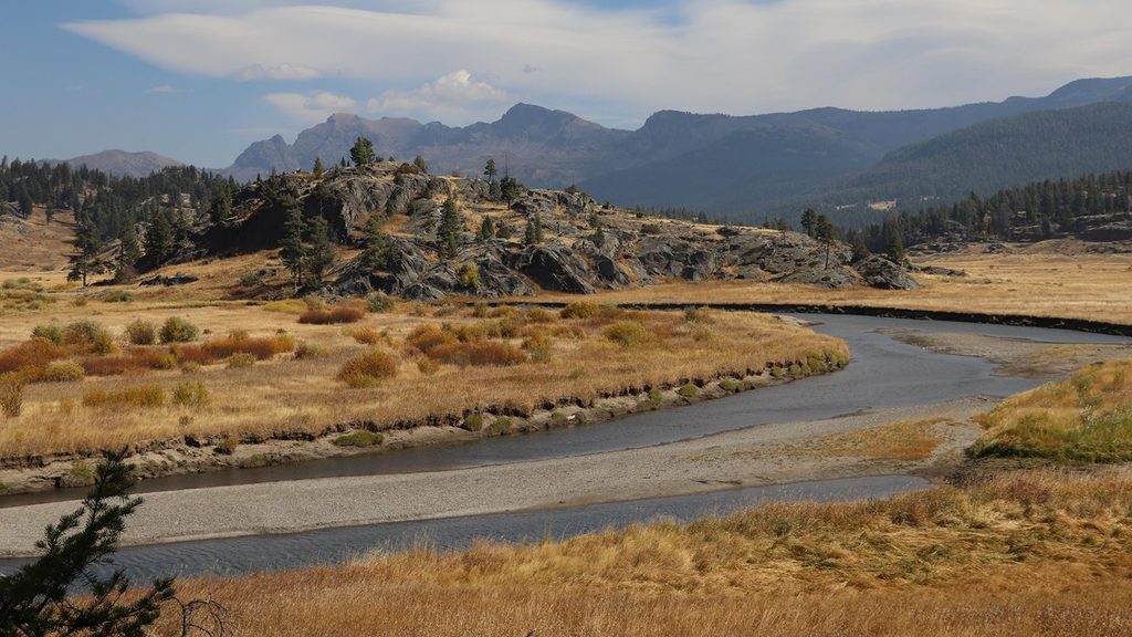
A true Yellowstone backcountry sampler, Pebble Creek is a 12-mile one-way traverse linking Warm Creek (near the NE entrance) with the lower trailhead by Pebble Creek Campground. Expect forests, broad flower-filled meadows, and big-mountain backdrops—plus a handful of unavoidable creek fords. The effort sits in that moderate/strenuous gray area: a stout start, then mostly mellow. Solitude is common compared to the park’s front-country boardwalks.
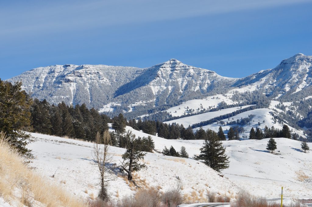
Starting from Warm Creek, you’ll climb roughly 1,000 feet in the first mile-plus to a pass, then drop about 250 feet into the upper Pebble Creek valley and cruise through open meadows and pockets of forest. Views pop of Abiathar Peak, Barronette Peak, and Cutoff Mountain; farther east, the skyline includes Republic Mountain, Meridian Peak, and Unnamed Peak 9595. A junction with the Bliss Pass Trail appears mid-route if you’re dreaming up a bigger itinerary. With no shuttle, a shorter taster to the upper meadows runs about 4 miles round-trip from Warm Creek.
Plan for June through October, with the most reliable conditions typically mid-summer into early fall. Early season can hang onto snow and mud at higher elevations and push creek levels up; later season brings crisp air and easier fords. Bugs can flare after rains, especially in wooded stretches. Start early for cooler temps and more wiggle room around afternoon storms.
Most hikers shuttle one-way; parking at the lower Pebble Creek trailhead is limited, but the nearby campground has additional parking and vault toilets. Day hiking needs no permit. Overnight trips require a backcountry permit and use of designated campsites; follow food storage rules (approved hang or canister) and use established fire rings where allowed. For backcountry questions and permits, contact the park’s Central Backcountry Office at (307) 344-2160.
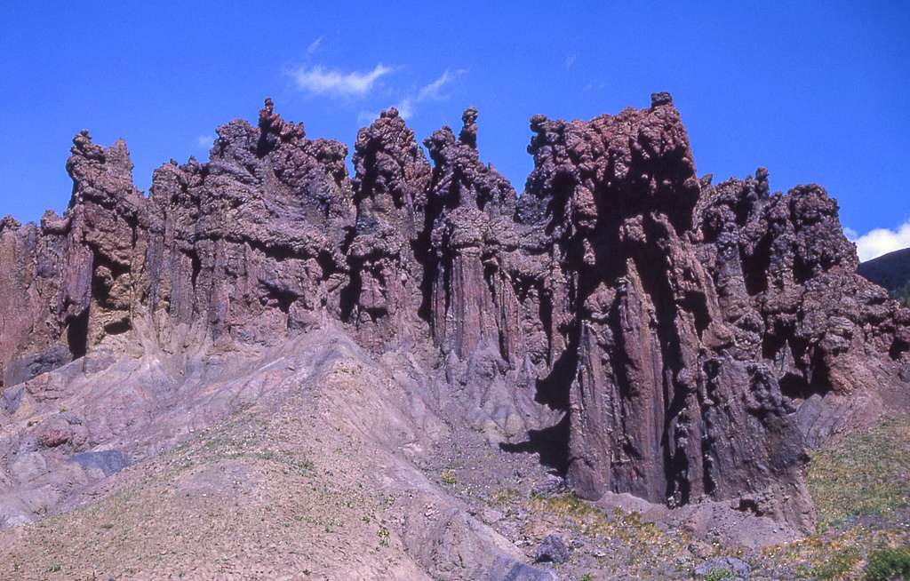
You’ll ford Pebble Creek multiple times—expect cold, swift water. Unbuckle your pack’s hip and sternum straps for crossings, use poles for stability, and bring dedicated crossing footwear. This is prime bear country: hike in a group, make noise, carry bear spray where you can reach it, and give wildlife space. Mountain weather turns fast; be ready to retreat from lightning. Navigation is straightforward but long; avoid hiking after dark. Underfoot, expect sections of rocky/muddy tread influenced by ancient earth flows and the area’s complex geologic history.
Limited spaces at the lower Pebble Creek trailhead; additional parking and vault toilets at Pebble Creek Campground. Warm Creek trailhead sits just inside the Northeast Entrance—most hikers stage a two-car shuttle.
Expect multiple cold, swift creek fords—unbuckle pack straps, use poles, and bring crossing footwear. Bears are common; carry bear spray and keep proper distances. Early season brings lingering snow, mud, and higher flows. Weather changes fast; avoid ridges during lightning and don’t plan on hiking after dark.
Place · 0.3 mi away
Place · 1.5 mi away
Place · 1.8 mi away
Place · 2.7 mi away
Easy · 1.4 mi away
Moderate · 4.6 mi away
Challenging · 4.6 mi away
Moderate · 9.9 mi away

Parkwolf Tour Guide
