Parking
Use the Trout Lake Trailhead pullout on Northeast Entrance Road, about 1.5 miles south of Pebble Creek Campground. Parking can be limited.
Yellowstone National Park, WY · MT · ID
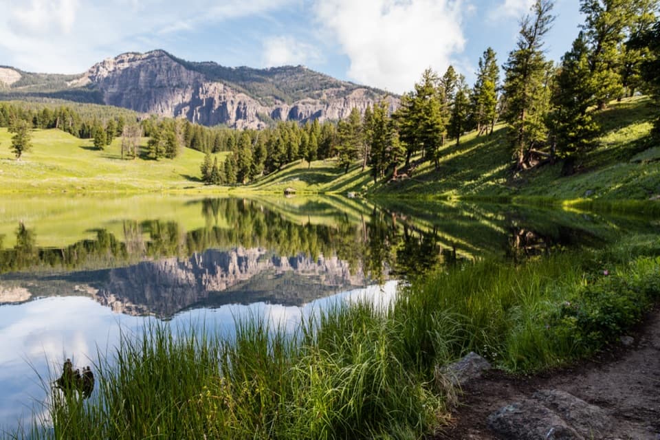
A steep climb leads to a still lake beneath rugged peaks.
Overview
The lake sits beneath forested slopes and a rocky ridge, with open meadow on the approach. When the water is still, the ridge and trees reflect across it. On the far shore, frame some reeds or the path with the reflected mountains so the picture shows both the lake and where you are. Wildflowers add color to the open hillside in summer.
 Parkwolf’s verdictThe view is worth a pause
Map & elevation
Plan your hike

The highest, rockiest slopes around here are a summer buffet for grizzly bears.
Yellowstone Tour Guide
Parkwolf is a GPS audio tour guide for Yellowstone National Park. As you drive, it chimes in with what’s ahead: hidden gems, upcoming stops, history, geology, and wildlife, right through your car’s speakers.
See the Yellowstone audio tourRecorded for this trailhead
Trout Lake Trailhead“You're approaching the Trout Lake trailhead, where a short hike reaches a small lake beneath a rocky ridge. The one-point-two-mile loop takes one to two hours, with a steep opening climb before the easier shoreline walk.”
Plays as you drive up to this trailhead in the Parkwolf Yellowstone Tour Guide.
More stories near here in the app
“First time driving through a national park. We used the Yellowstone tour on grand loop Road and it’s just like having a tour guide in your car with you.”


Trail guide
This 1.2-mile lollipop loop starts at a roadside pullout in Yellowstone’s northeast and circles Trout Lake before returning along a shared approach. The trail climbs through meadow and Douglas-fir forest, drops to the shore, follows a circuit around the water, then retraces the first stretch to the pullout. Plan one to two hours; about an hour and a half leaves room to stop. The lake is the payoff, a small basin under a rocky ridge and conifers. The park calls the walk moderately easy, but the opening climb is the part that asks the most of you. If you are short on time, you can reach the lake and return without doing the full shoreline circuit.
The first stretch crosses open meadow, where the view opens toward Beartooth Pass, Mount Norris and the Thunderer, then enters Douglas-fir forest and gets steeper. You crest above the lake and descend to the water. The tread is dirt. Take your time on the climb, especially if you are adjusting to the park’s elevation; once you reach the shore, the walking is easier. The return follows the same approach, so save a little energy for the uphill connector from the lake circuit before the descent back to the road.
The circuit stays close to the water, with narrower tread on parts of the far shore. It crosses the inlet and outlet streams on short wooden bridges. Spring runoff can make the crossings less comfortable than they are later in the season. You can skip the shoreline lap and turn back at the lake for a shorter outing, though the hill is still part of that walk.
The north end is a seasonal spawning spot for cutthroat trout. The run usually begins around the week of Father’s Day, when fish gather at the short, steep creek coming from nearby Shrimp Lake. River otters sometimes feed there too. Neither fish nor otters are guaranteed sightings. Watch from the path and give wildlife room rather than approaching the water’s edge.
Use the Trout Lake Trailhead pullout on Northeast Entrance Road, about 1.5 miles south of Pebble Creek Campground. It is small, and parking can be limited. No trail reservation or activity fee is required, though the park entrance fee may apply. Grizzly bears frequent this area, so carry bear spray where you can reach it quickly and stay at least 100 yards from bears. Pets are prohibited, and the route is closed to stock use year round. No toilets, drinking water or food service were listed at the trailhead or on the route, so bring what you need.
Wildlife
 713 sightingsGrizzly BearMost seen around 6 AMSighting map
 743 sightingsWolfMost seen around 6 AMSighting map
 5,273 sightingsBisonMost seen around 7 AMSighting map
 3,258 sightingsElkMost seen around 7 PMSighting map
 397 sightingsMooseMost seen around 7 PMSighting map
 1,494 sightingsBlack BearMost seen around 7 PMSighting map
Sighting maps show where each species has been reported across Yellowstone. Wildlife moves, so no sighting is guaranteed.
Keep exploring
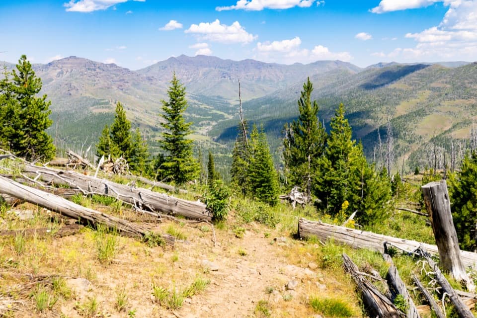 ChallengingThunderer Cutoff Trail9.8 mi · 6.5 hr · 2.1 mi awayA lonely climb to Chaw Pass and the Cache Creek backcountry.
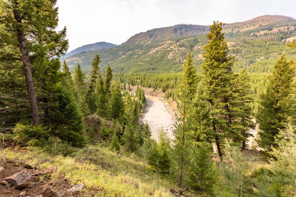 ChallengingLamar River Trail33 mi · 18 hr · 3 mi awayA 33-mile out-and-back along Lamar River to Cold Creek.
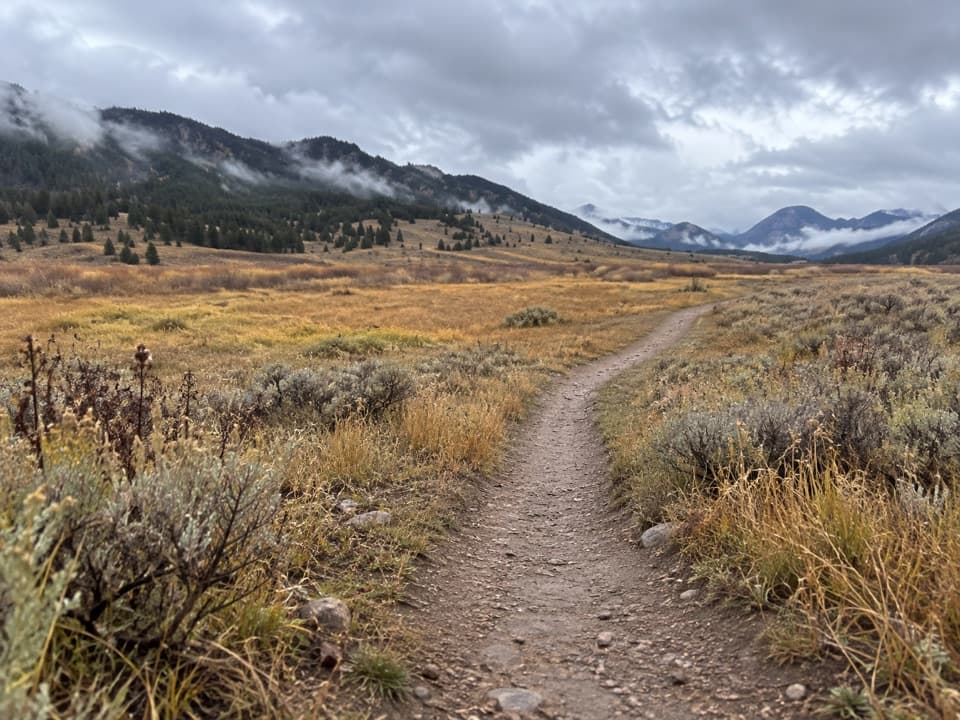 ChallengingCache Creek Trail37.6 mi · 18 hr · 3 mi awayA long, strenuous push from Lamar Valley into high backcountry.
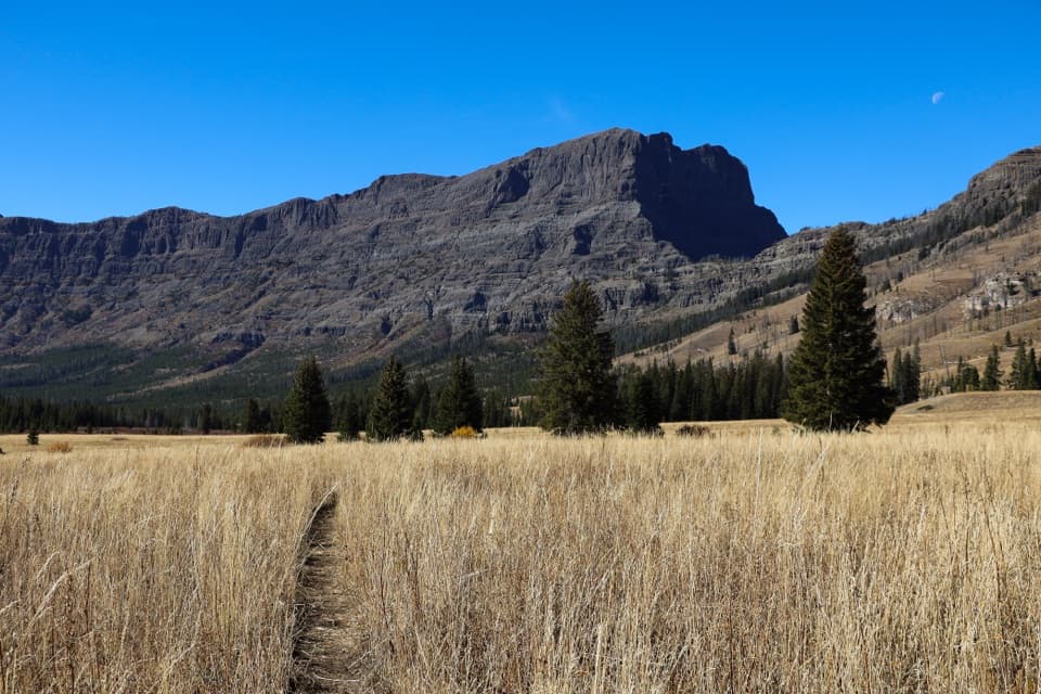 ChallengingPebble Creek Trail12 mi · 5.5 hr · 8.5 mi awayA strenuous traverse through Yellowstone’s high Pebble Creek valley.
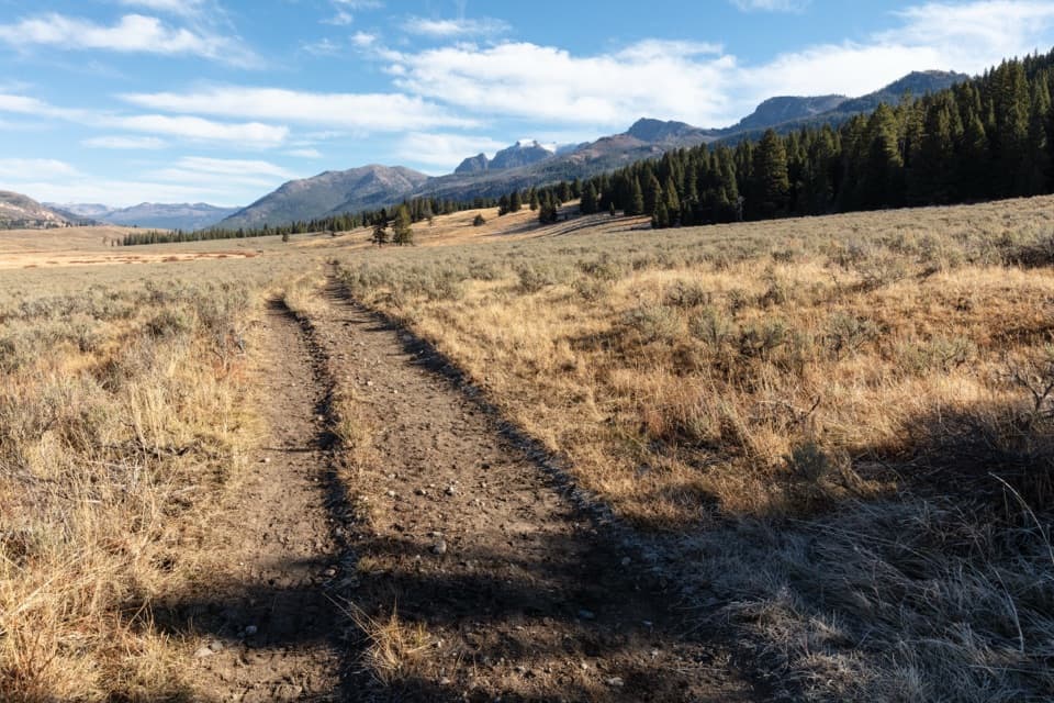 ModerateSlough Creek Trail3.4 mi · 3 hr · 9.6 mi awayClimb an old wagon road, then follow the creek into open meadows.
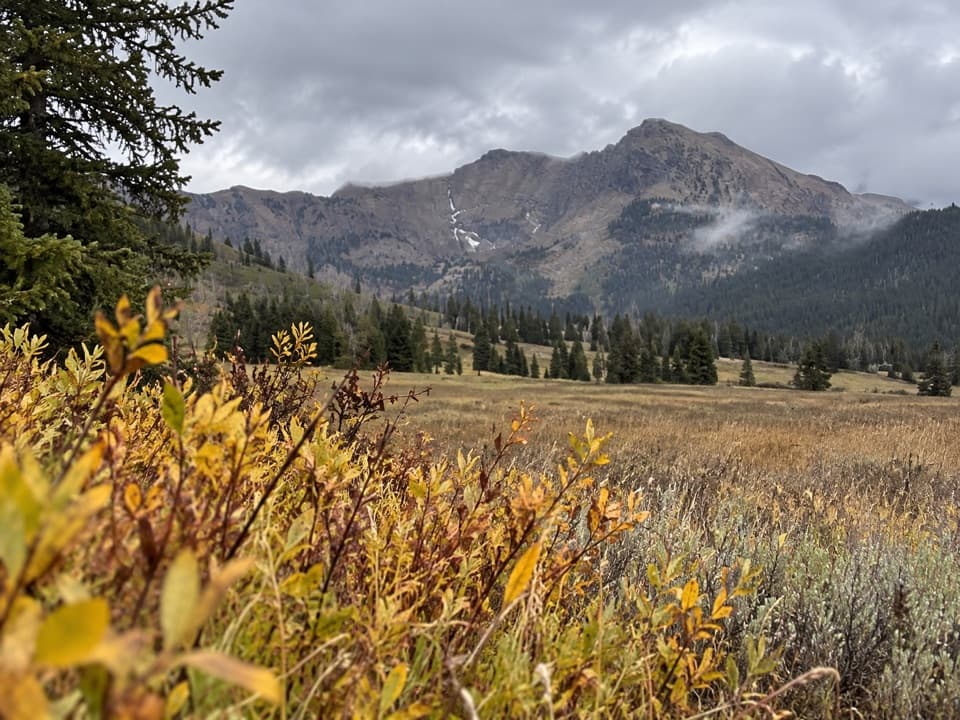 ChallengingBliss Pass Trail20.5 mi · 12 hr · 9.6 mi awayA 20.5-mile pass traverse links Slough and Pebble Creek valleys.
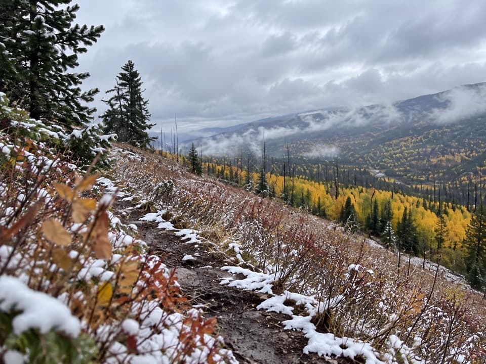 ChallengingBuffalo Fork Trail6.4 mi · 5 hr · 12.3 mi awayA remote creek ford opens into sage slopes and burned forest.
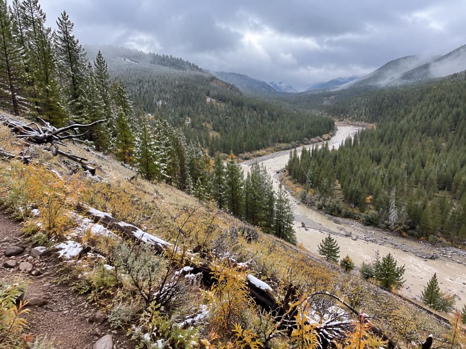 ModerateBootjack Gap Trail4.6 mi · 4 hr · 12.7 mi awayA high-country climb to a remote pass on Yellowstone’s eastern edge.
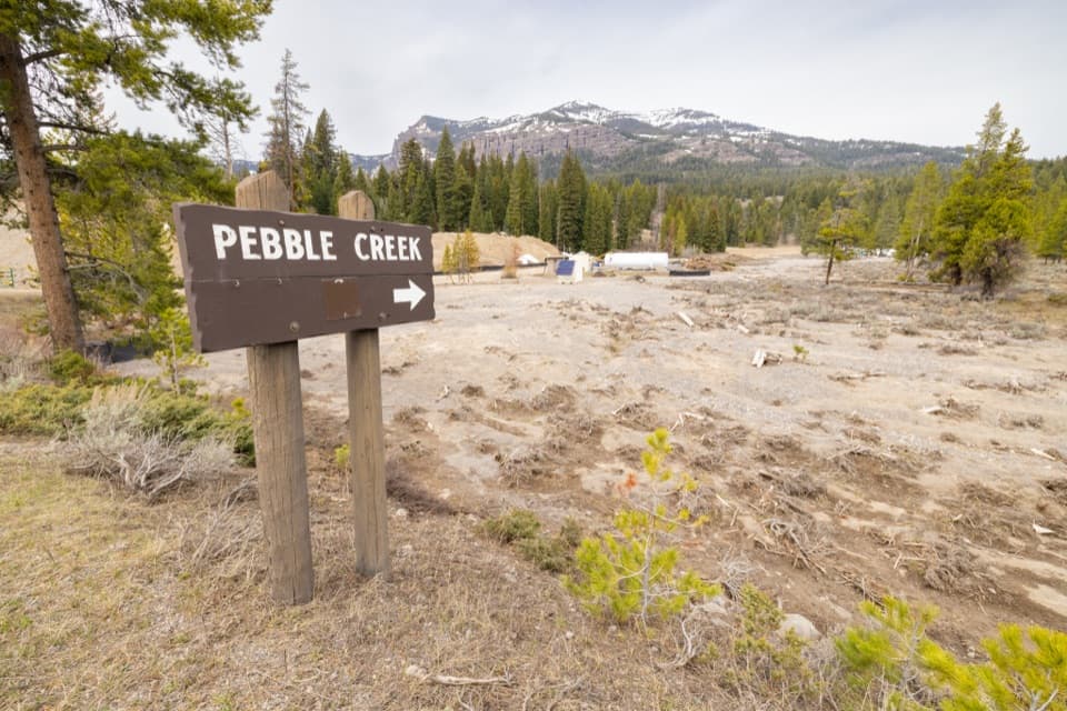 Campground · 1.3 mi awayPebble Creek CampgroundA creekside base for the park's rugged northeast corner.
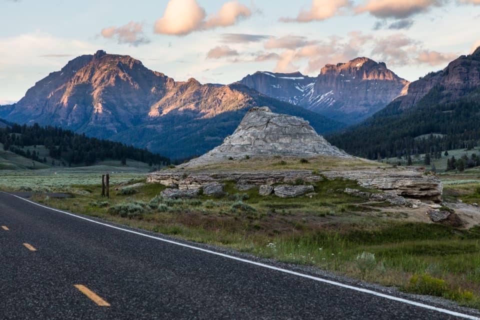 Sight · 2.1 mi awaySoda Butte ConeA quick roadside stop for a pale cone and valley views.
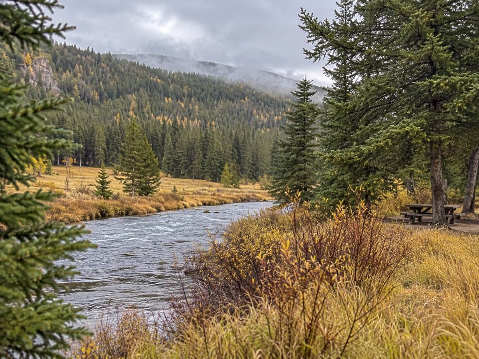 Picnic area · 3.1 mi awaySoda Butte Creek Picnic AreaA practical creekside spot for a picnic and leg stretch.
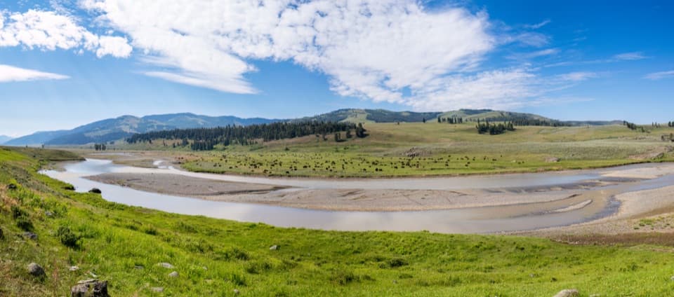 Sight · 7.2 mi awayLamar Valley Wildlife WatchingScan open grasslands for bison, wolves, and the northern range.
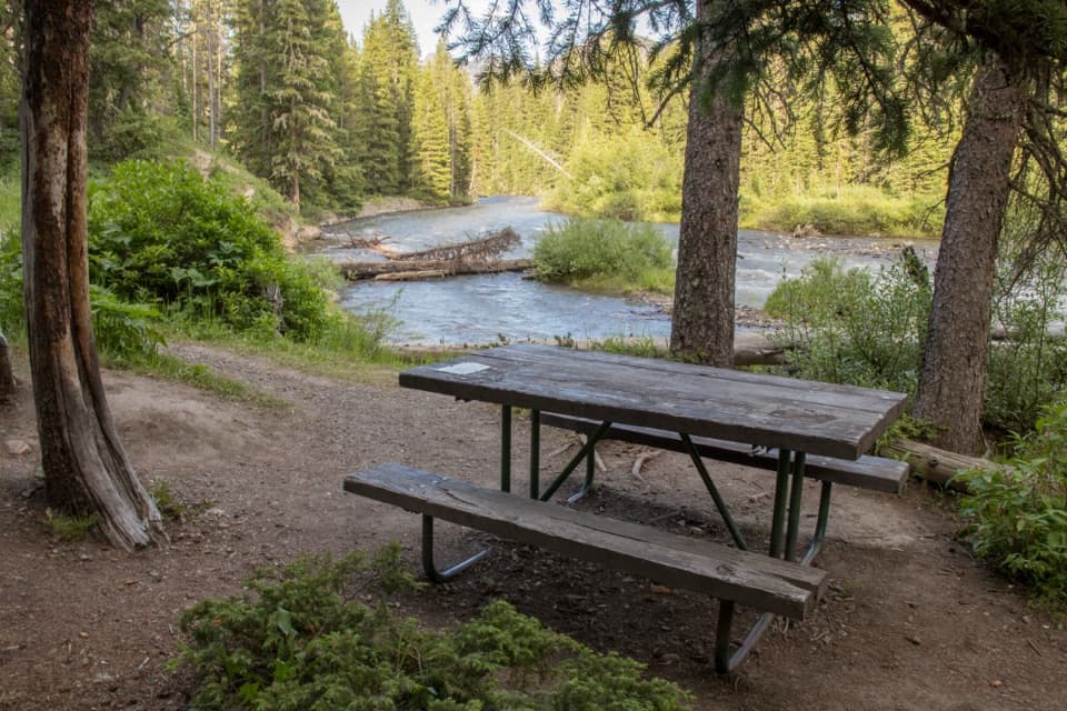 Picnic area · 8.6 mi awayWarm Creek Picnic AreaA shady table by Soda Butte Creek breaks up the northeast drive.
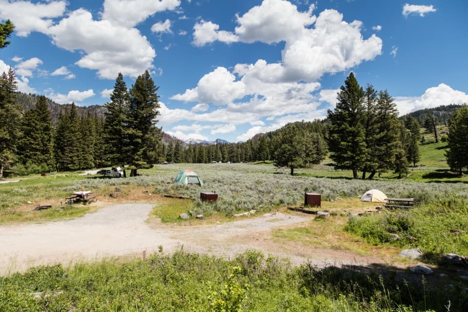 Campground · 9.7 mi awaySlough Creek CampgroundA quiet creekside camp for dark skies and a historic trail.
Parkwolf’s Yellowstone ranking
The audio tour guide for the drive, plus offline maps, trails, and wildlife heatmaps for when the signal drops.





