Natural Bridge in Yellowstone National Park

Sight · Yellowstone National Park

Natural Bridge

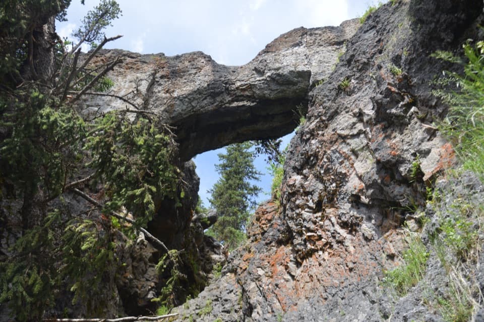
A 51-foot arch carved by Bridge Creek, reached on a forest walk.

Photo: Wikimedia Commons
Type
Sight
Nearest trail
1 mi
Audio stories
4 nearby
  • Trailhead
  • Parking
  • Scenic viewpoint

Hear the audio tour

Natural Bridge Trailhead

Overview

About Natural Bridge

Why stop

  • A rare rhyolite arch reached on foot from Bridge Bay.

Heads up

  • The modest arch may feel smaller than expected after the walk.

Map

Where it is

Loading the Yellowstone map
Full map
SightNatural Bridge44.52630, -110.45582
Keep this map with you offline in the Parkwolf app

Plan your stop

Before you go

Best time to go

The trail generally closes in early summer while bears feed on spawning trout in Bridge Creek. Ask at Fishing Bridge Visitor Center about opening dates and other closures before making a special trip. Visitors also mention biting insects near the bridge, so insect repellent can help in warm weather. There is no separate activity fee or reservation, though Yellowstone entrance fees may apply.

5 active Yellowstone alerts

  • ClosureBiscuit Basin closed after hydrothermal explosionBiscuit Basin’s parking lot, boardwalk, and Firehole River are closed to all travel.Official details
  • ClosureMost Yellowstone roads close to regular vehicles November 1Most Yellowstone roads and the West, South, and East entrances are scheduled to close to regular vehicles November 1, 2026, as the park prepares for winter operations.Official details
See all 5 alerts
A park ranger sits on a dash-mounted phone, talking, as Parkwolf’s Tour Guide plays “Army Cutworm Moths: A Grizzly Bear Buffet” on Grand Loop Road below Dunraven Pass in Yellowstone
Parkwolf Tour GuideThe highest, rockiest slopes around here are a summer buffet for grizzly bears.

Yellowstone Tour Guide

Hear Yellowstone as you drive it.

Parkwolf is a GPS audio tour guide for Yellowstone National Park. As you drive, it chimes in with what’s ahead: hidden gems, upcoming stops, history, geology, and wildlife, right through your car’s speakers.

See the Yellowstone audio tour

Recorded for this place

Natural Bridge Trailhead
0:00 / 0:27
“The Natural Bridge trailhead is coming up, for a forest walk to a rock arch carved by Bridge Creek.”

Plays as you drive up to Natural Bridge in the Parkwolf Yellowstone Tour Guide.

More stories near here in the app

  • Bridge Bay Marina
  • The Lake’s Slow Slosh
  • Gull Point Picnic Area
  • A Lake’s History in Glass
  • 243 audio storiesacross Yellowstone’s roads, triggered by GPS as you drive
  • Wildlife heatmapsfor Wolf, Grizzly Bear, Bison, and 13 more
  • Works offlinemaps, 167 trails, 192 places, and audio download before you lose signal
  • CarPlay readysimple controls built for the drive
★★★★★
“First time driving through a national park. We used the Yellowstone tour on grand loop Road and it’s just like having a tour guide in your car with you.”
Jyg5001App Store review
Download Parkwolf on the App StoreGet Parkwolf on Google Play

4.7 from 8,600+ ratings

Guide

More about Natural Bridge

A rock arch near Bridge BayNatural Bridge is a 51-foot-high rhyolite cliff cut through by Bridge Creek, near Bridge Bay…

Natural Bridge is a 51-foot-high rhyolite cliff cut through by Bridge Creek, near Bridge Bay Marina. It makes a distinctive geology stop if you want a short hike to a natural feature; the arch is compact, and some visitors find it smaller than they expected. The National Park Service lists the walk as 2.5 miles round trip and one to two hours, so plan for a real outing rather than a roadside glance.

Follow the route from the marinaStart at the Bridge Bay Marina parking lot near the campground entrance road.

Start at the Bridge Bay Marina parking lot near the campground entrance road. The trail winds through forest, then joins a service road west to the arch. The park describes it as an easy, semi-paved accessible trail. Its detailed directions describe 0.7 mile through forest and another 0.4 mile west on the service road, which does not fully match the 2.5-mile round-trip summary; use the summary as a planning estimate. The trail continues past the bridge, crosses a creek, and follows the cliff before rejoining the road. Rocks in the creek bed can be wet and slippery.

A short, steep branch toward the bridge's top starts by the interpretive exhibit, but the top of the arch is closed to hikers and bikers to protect the fragile rock. Keep to the open trail. Pets are not allowed.

How the arch formedBridge Creek eroded through rhyolite to create the opening.

Bridge Creek eroded through rhyolite to create the opening. From the trail, look up through the arch and include the jagged walls and conifers around it; they show the scale and texture better than a tight crop of rock. Stay out of the slippery creek bed for photos.

Wildlife

Wildlife in Yellowstone

All Yellowstone wildlife maps

Sighting maps show where each species has been reported across Yellowstone. Wildlife moves, so no sighting is guaranteed.

Parkwolf’s Yellowstone ranking

Top sights in Yellowstone

All 192 places
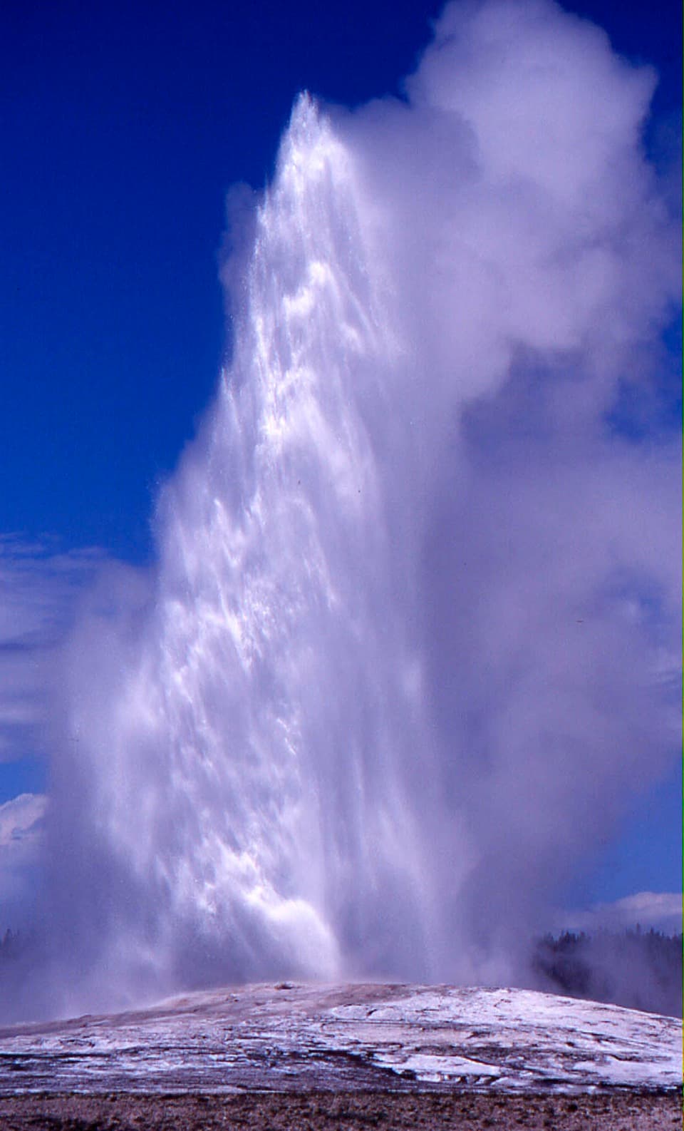
  1. 1Old Faithful GeyserSight
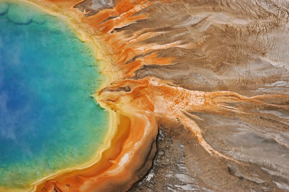
  2. 2Grand Prismatic SpringSight
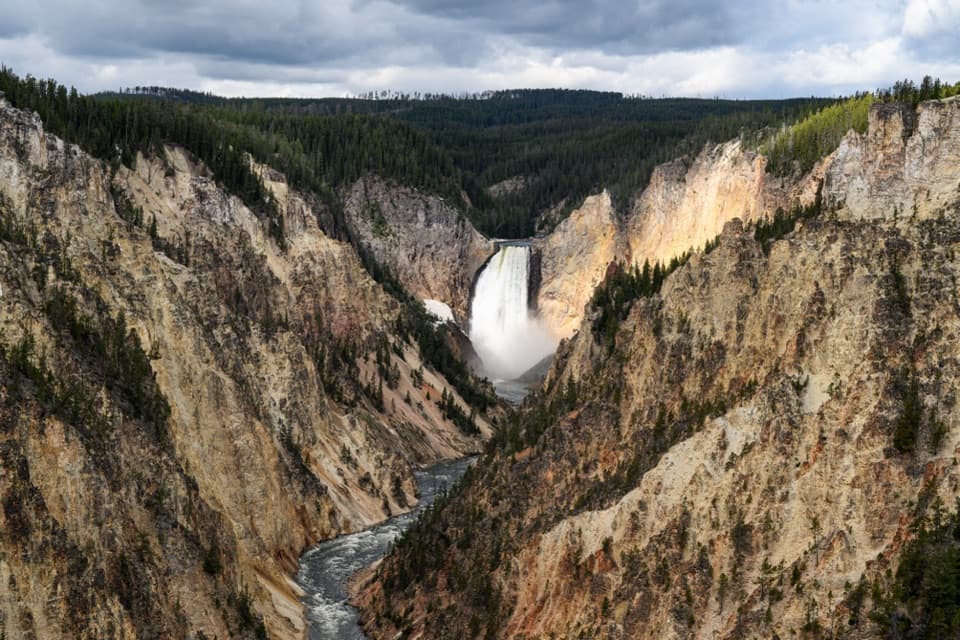
  3. 3Artist PointSight
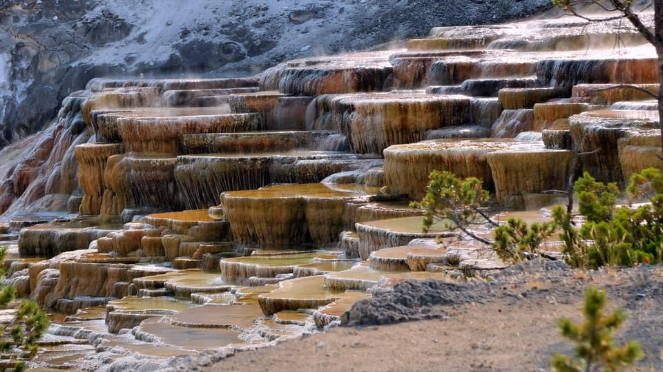
  4. 4Mammoth Hot Springs Lower TerracesSight
  5. 5Lamar Valley Wildlife WatchingSight
  6. 6Hayden Valley Overlook at Yellowstone RiverSight

Take Parkwolf to Yellowstone.

The audio tour guide for the drive, plus offline maps, trails, and wildlife heatmaps for when the signal drops.

4.7 from 8,600+ ratings

Download Parkwolf on the App StoreGet Parkwolf on Google Play