
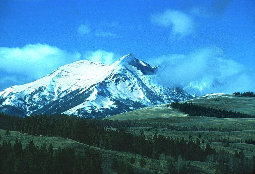
Place · 15 mi away
Moderate
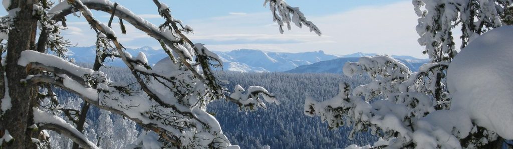
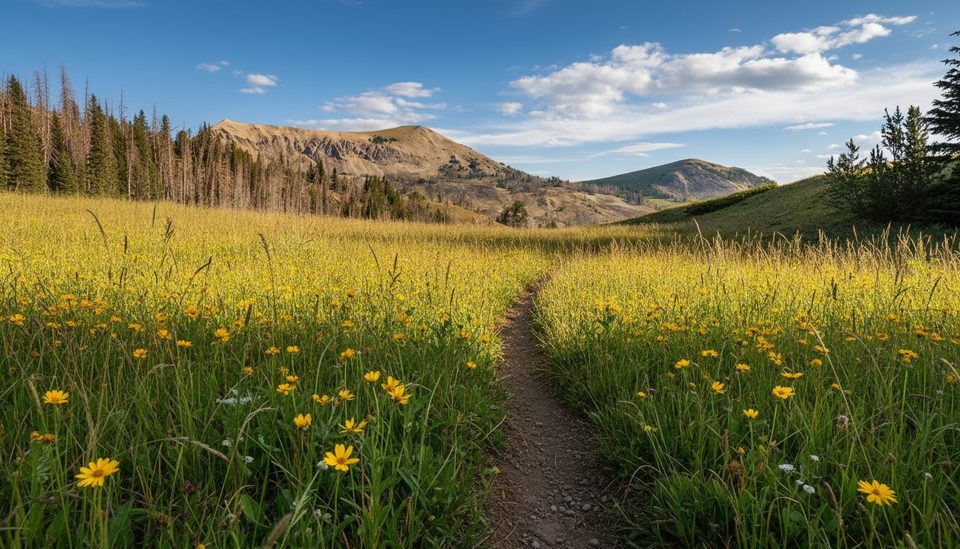
This mellow-to-muscular out-and-back heads up a broad valley along Dailey Creek before climbing to a ridge on the Sky Rim. Expect roughly 9.9 miles total with about 1,700 feet of gain if you go to the pass/junction, typically taking around 4.5 hours. Early miles are easy walking through open sagebrush meadows with seasonal wildflowers; the final push to the ridge is where the lungs wake up. You’ll see both spellings—“Dailey” (official) and “Daly”—for the same trail.
From the US‑191 trailhead, cross a footbridge and stroll gentle grades along the creek. Around 1.8 miles there’s a connector toward Black Butte Canyon, and at 2.7 miles a spur crosses west to Teepee Creek—an excellent mellow turnaround if you just want the valley vibes. Past about 4 miles the trail steepens in forest; the last mile is the crux as you grind to Dailey Pass and meet the Sky Rim Trail on the park boundary. Tag the junction for big views, then return the way you came. Ambitious parties sometimes continue along the Sky Rim or link larger loops via Specimen/Black Butte, but that’s a committing upgrade with more elevation and exposure.
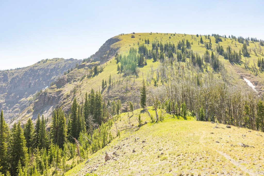
The lower valley is classic big‑sky country—sage, grasses, and a meandering creek with lodgepole pockets. Watch and listen for moose in wet meadows and a variety of birds overhead. Higher up, you may spot bighorn sheep—and even mountain goats—near the ridge. Up on the Sky Rim, the terrain turns airy and rocky with sweeping Gallatin Range panoramas. Petrified wood is scattered along parts of the Sky Rim beyond the junction, but not on the main Dailey Creek valley itself.
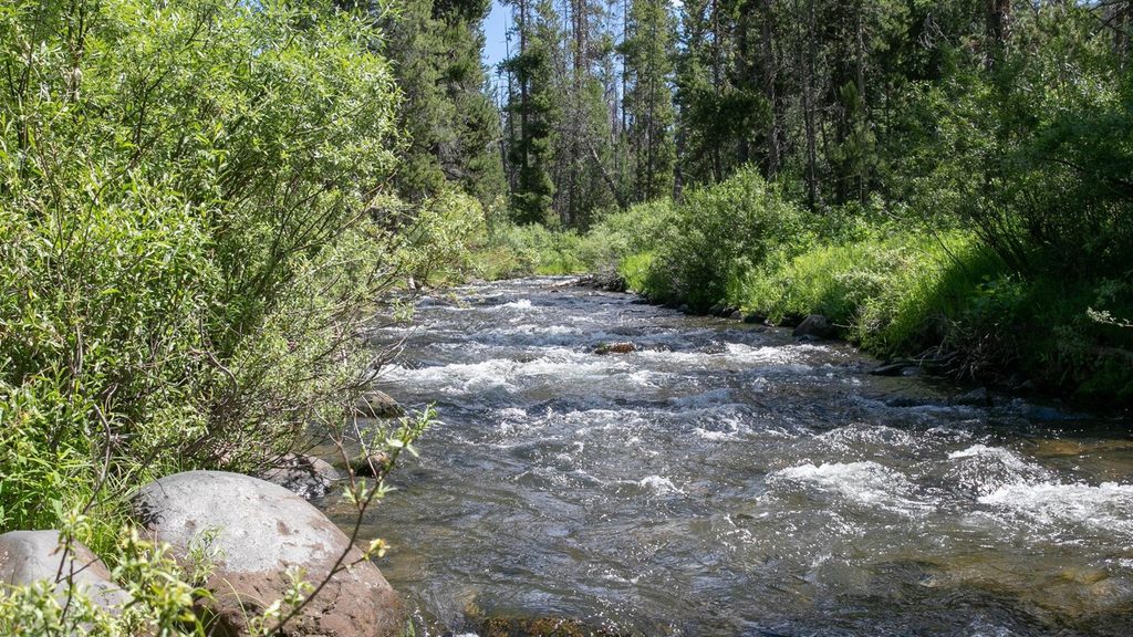
This one’s pleasantly quiet compared with Yellowstone’s marquee boardwalks—solitude is common. Expect wet or muddy stretches after spring melt or rain, with several small, usually simple creeklets to cross (often via stones or short planks). Shade is limited in the meadows; start early in warm weather. The ridge can hold lingering snow in early summer and is exposed to wind and storms.
Late spring through fall (roughly May–October) is the sweet spot. Aim for mornings for cooler temps, softer light across the valley, and a better wildlife window. If you plan to reach the Sky Rim, keep an eye on the forecast—thunderstorms and wind hit hard up high, and there’s little to no water once you leave the creek.
Trailhead parking is a small roadside pullout on US‑191 in the park’s northwest corner. Day hiking requires no permit. Overnight trips to designated backcountry campsites, including one along Dailey Creek (WF2), require a backcountry permit. No dogs on this trail. Standard Yellowstone backcountry etiquette applies: travel in groups when possible, carry bear spray, and store food properly.
If you want a peaceful valley walk with the option to earn big views, this is a great, underrated day. Turn around at the Teepee Creek spur for an easy wildflower ramble, or push to the pass for a satisfying, quiet summit‑feel without the crowds. If you’d rather a similar mix of valley and alpine lake, consider the Specimen Creek area; if you crave ridge drama, continue onto the Sky Rim—but go prepared.
Small off-road pullout along US-191/Gallatin Road north of West Yellowstone; limited roadside parking at the trailhead.
Active bear country; carry spray and hike in groups. Meadows can be muddy with shallow crossings; the final mile is steep. The Sky Rim is exposed with little to no water and fast-changing weather.
Place · 15 mi away
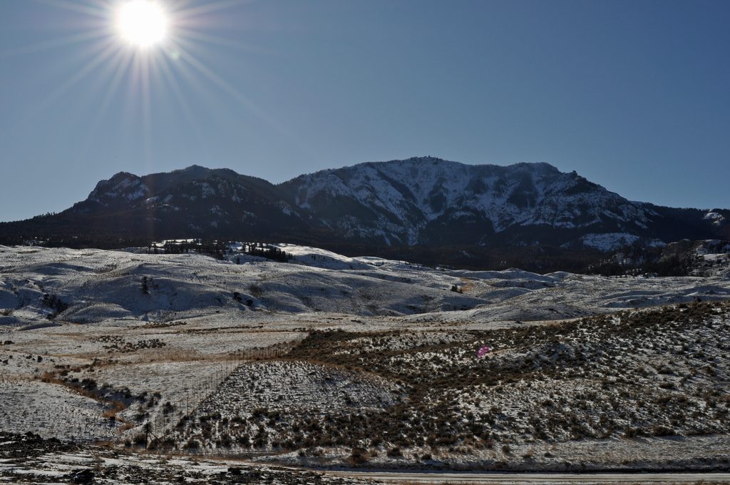
Place · 18.6 mi away
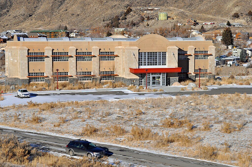
Place · 20.8 mi away
Place · 21.1 mi away
Challenging · 0 mi away
Challenging · 3.8 mi away
Moderate · 3.8 mi away
Challenging · 7.8 mi away

Parkwolf Tour Guide
