
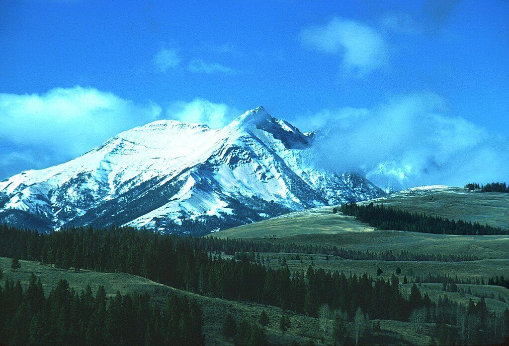
Place · 15 mi away
Challenging
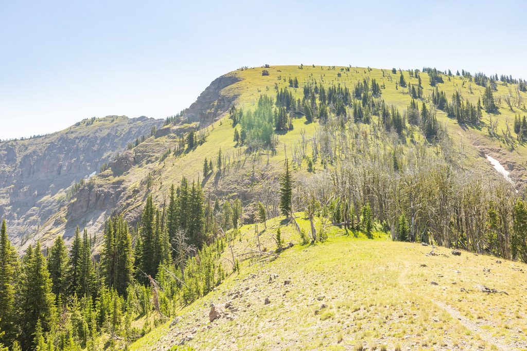
The Sky Rim is Yellowstone’s classic high‑ridge sufferfest—airy, exposed, and absurdly scenic. Most hikers tackle it as an 18.2‑mile loop (total) with roughly 4,700–5,000 feet of gain. There’s also a burlier 23.5‑mile point‑to‑point variation that’s best split over 2–3 days. Either way, expect sustained ups and downs along a narrow arête with big drop‑offs and constant views. The high point is Bighorn Peak at about 9,930 feet, which adds a steep, optional spur.
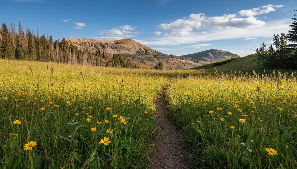
This ridge was carved by alpine glaciers, so you’re literally walking the knife edge between drainages with two‑sided panoramas the whole way. Watch for petrified wood from the Gallatin Petrified Forest scattered along the rim—including a memorable, massive upright log near an overlook. Summer wildflowers can be excellent. On clear days you’ll spot neighboring summits like Ramshorn Peak and Twin Peaks.
Common start points sit along US‑191: Daly Creek, Black Butte, or Specimen Creek. The classic loop climbs from Daly Creek to the rim, traverses past the Bighorn area, then drops via Black Butte (or reversed). A point‑to‑point using Daly Creek to Specimen Creek trades road‑closing chores for extra miles on trail. The ridge tread is generally obvious, but it can fade in grassy sections and across steep meadows—expect a few quick route‑finding moments.
This is a very strenuous day with constant rollers and some loose, narrow segments. The rim is essentially dry—plan for roughly 11 waterless miles. Fill up at lower creeks (e.g., Daly Creek) before committing and carry what you need. Thunderstorms are common in summer, and you’re fully exposed up high; start early, watch the sky, and bail if storms build. Snow patches can linger early season.
You’re in prime bear country—carry bear spray and know how to use it. Wolves occasionally roam the area, and you might see other high‑country wildlife. No dogs are allowed on these trails. Day hiking doesn’t require a permit; backpacking does, with designated sites reserved in advance via the park’s system.
Best window is July through September, with mid‑July often hitting a sweet spot between lingering snow and fall storms. Early starts help you beat heat and convective weather. Despite its quality, the route sees relatively light traffic—even on summer weekends.
Park at Daly Creek, Black Butte, or Specimen Creek trailheads along US‑191; stage a shuttle for a point‑to‑point or be ready for extra mileage to close the loop.
Very exposed ridge with loose footing and knife‑edge sections; thunderstorms develop quickly; expect roughly 11 miles without water; prime bear habitat—carry bear spray and store food properly.
Place · 15 mi away
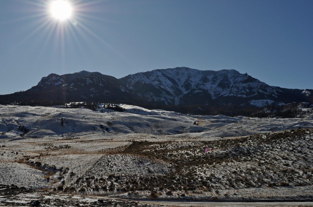
Place · 18.6 mi away
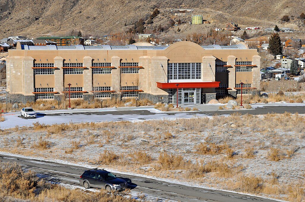
Place · 20.8 mi away
Place · 21.1 mi away
Moderate · 0 mi away
Challenging · 3.8 mi away
Moderate · 3.8 mi away
Challenging · 7.8 mi away

Parkwolf Tour Guide
