
Place · 0 mi away
Easy
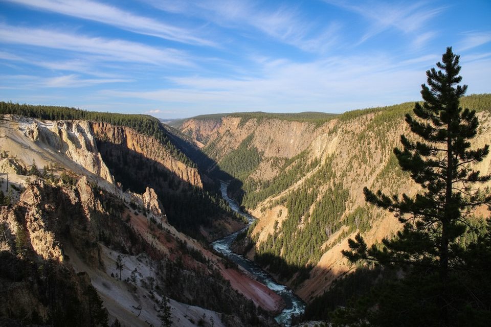
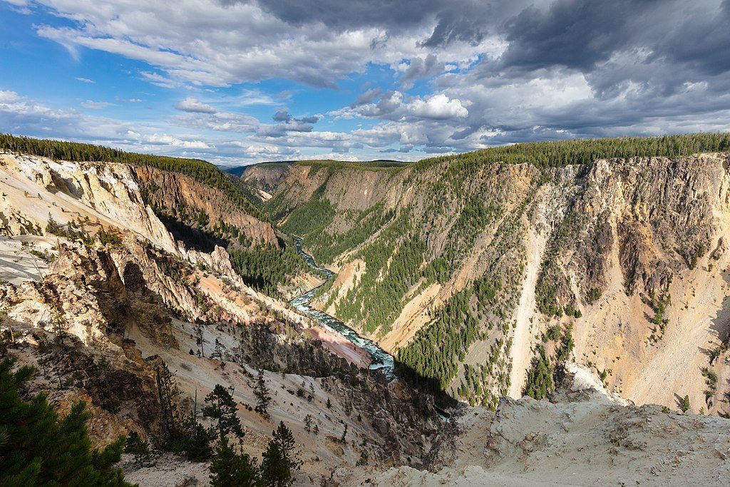
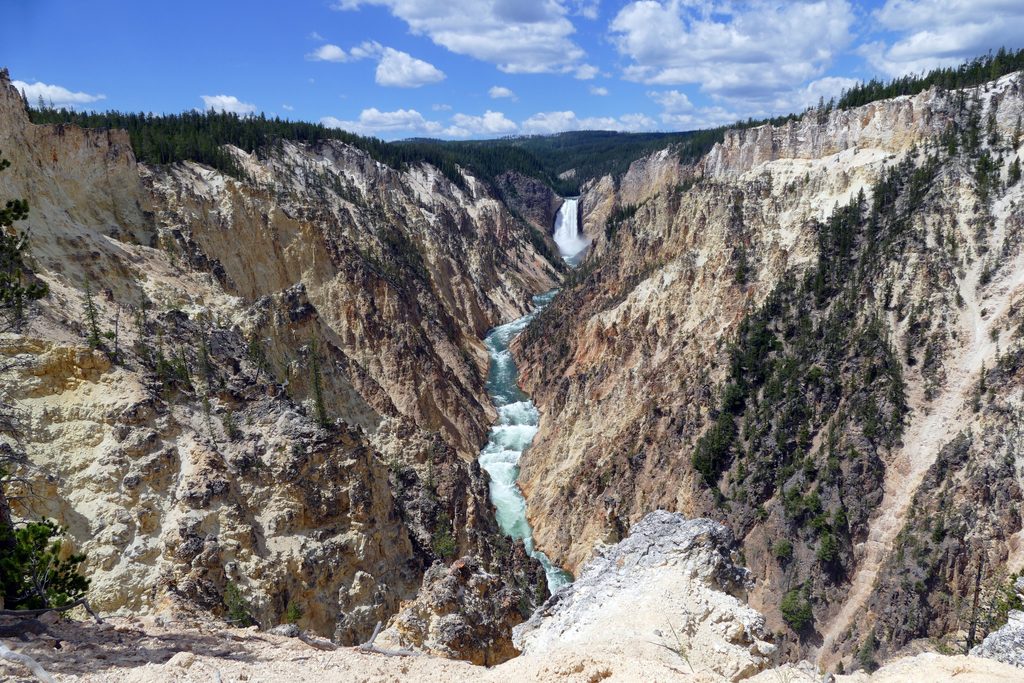
This is the quick, high‑reward stop on Yellowstone’s North Rim: a fenced overlook with huge, technicolor panoramas of the Grand Canyon of the Yellowstone. Expect steep, rugged walls painted in yellows, oranges, and reds and only a sliver of Lower Falls from this angle. It’s popular and easy to reach, so it draws crowds at peak hours.
From the parking area at the end of the signed spur off North Rim Drive, it’s less than 0.1 mile round trip with roughly 50 feet of stairs down to the platform. If you want more than a peek, link it into a longer day on the North Rim Trail, which strings together multiple overlooks between the Brink of the Upper Falls and Inspiration Point. The full out‑and‑back along the rim runs about 6.5 miles total with around 685 feet of gain; you can shorten it using the roadside lots that parallel the trail.
You’re looking into a canyon carved through hydrothermally altered volcanic rock—those vivid colors come from iron oxidation. The landscape is still active: tremors and landslides continue to reshape the rim. In 1975, a significant earthquake sheared off the former tip of Inspiration Point (about 100 feet of the old platform), which is why today’s viewpoint is set back and fenced. Heed the barriers and stay well behind the edge.
For sweeping canyon vistas with almost no effort, absolutely. If your goal is classic waterfall photos, this isn’t the best angle—pair it with Lookout Point, Grand View, or the Brink of the Upper Falls for closer views. Parking can be tight and the platform busy; early or late light is better for both photos and elbow room.
Go early morning or late afternoon for softer light down‑canyon and fewer people. It can be windy on the exposed rim. Inside the park, GPS can be flaky—carry or reference official maps for navigation between overlooks.
There are stairs to the platform, so it’s not a flat, step‑free approach. Pets are not allowed on park trails or boardwalks here.
Drive North Rim Drive from Canyon Junction and turn onto the signed two‑way spur to Inspiration Point; the road ends at a small lot directly behind the overlook stairway.
Exposed rim with wind; stay behind fences—part of the original point collapsed after a 1975 quake. Short but stair‑heavy descent and ascent. GPS can be unreliable in the park; use official maps.
Place · 0 mi away
Place · 0.3 mi away
Place · 0.4 mi away
Place · 0.5 mi away
Moderate · 0 mi away
Challenging · 0.3 mi away
Easy · 0.5 mi away
Easy · 1 mi away

Parkwolf Tour Guide
