Parking
Begin at Glacial Boulder pullout (4K6) on the road toward Inspiration Point.
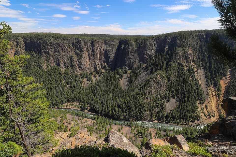
Yellowstone National Park, WY · MT · ID
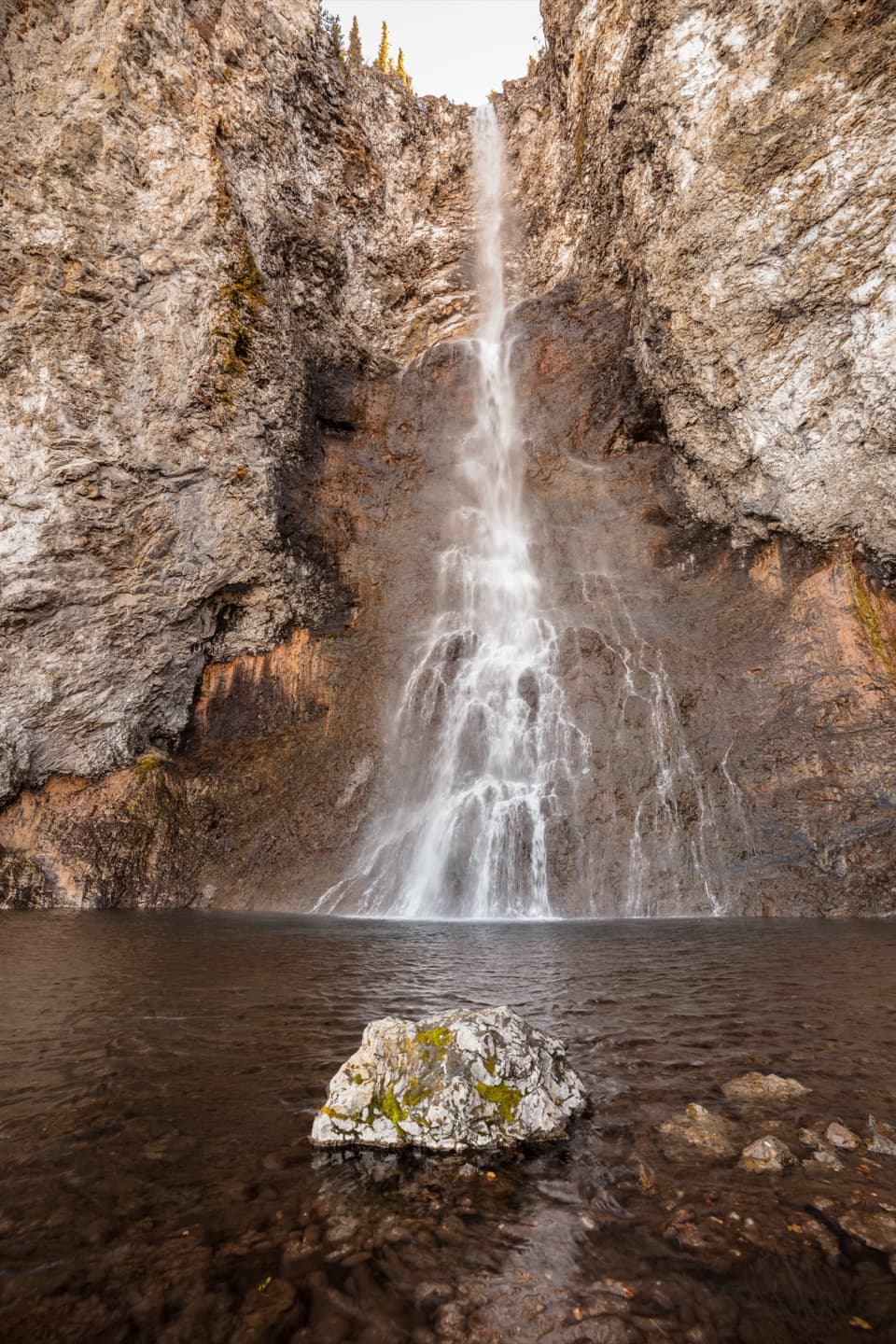
Silver Cord Cascade first, then the steep drop to the river.
Overview
Map & elevation
Plan your hike

The highest, rockiest slopes around here are a summer buffet for grizzly bears.
Yellowstone Tour Guide
Parkwolf is a GPS audio tour guide for Yellowstone National Park. As you drive, it chimes in with what’s ahead: hidden gems, upcoming stops, history, geology, and wildlife, right through your car’s speakers.
See the Yellowstone audio tourRecorded for this trailhead
Glacial Boulder and Seven Mile Hole“You're coming up on Glacial Boulder pullout, the trailhead for Seven Mile Hole.”
Plays as you drive up to this trailhead in the Parkwolf Yellowstone Tour Guide.
More stories near here in the app
“First time driving through a national park. We used the Yellowstone tour on grand loop Road and it’s just like having a tour guide in your car with you.”


Trail guide
Seven Mile Hole is a strenuous 10-mile out-and-back from Glacial Boulder pullout (4K6) to the Yellowstone River and back. Allow 5–8 hours. The route starts with a stretch along the canyon rim, then drops more than 1,000 feet over 2.3 miles. You climb that same slope on the way out, so save energy for the return rather than treating the river as the hard part.
For the first 1½ miles, the path stays near the canyon edge, looking across at Silver Cord Cascade. The waterfall is a narrow white line against the far wall; this opening section gives you a worthwhile view before the steep work starts. For a photo, keep plenty of canyon around the cascade so the drop and distance across the gorge still read.
After the rim section, continue another ½ mile to the Washburn Spur Trail, then follow it for ¾ mile to the Seven Mile Hole turn. The route drops more than 1,000 feet in the next 2.3 miles. Down low, narrow switchbacks cross loose, rocky ground in places. Watch your footing, and do not leave the path when it passes active and dormant hot springs.
The end is a river-level stop on the Yellowstone, not a developed overlook. The payoff is standing at the canyon bottom after the long descent; the way back is the same trail, with a sustained climb to the rim. The name refers to the river spot about seven miles downstream of the base of Lower Falls, not to the trail's round-trip mileage.
Start at the Glacial Boulder pullout on the road to Inspiration Point. The park lists this as a summer and fall hike and does not allow pets. Grizzly bears frequent the area. There is no reliable water along the route until the Yellowstone River; filter river water before drinking, and check current backcountry conditions before you go.
Wildlife
 713 sightingsGrizzly BearMost seen around 6 AMSighting map
 743 sightingsWolfMost seen around 6 AMSighting map
 5,273 sightingsBisonMost seen around 7 AMSighting map
 3,258 sightingsElkMost seen around 7 PMSighting map
 397 sightingsMooseMost seen around 7 PMSighting map
 1,494 sightingsBlack BearMost seen around 7 PMSighting map
Sighting maps show where each species has been reported across Yellowstone. Wildlife moves, so no sighting is guaranteed.
Keep exploring
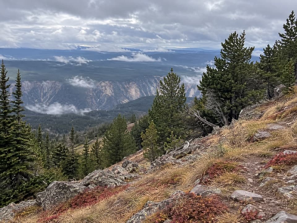 ChallengingMount Washburn Spur Trail16.2 mi · 9 hr · At the trailheadFrom canyon rim to Washburn Hot Springs and a 10,219-foot summit.
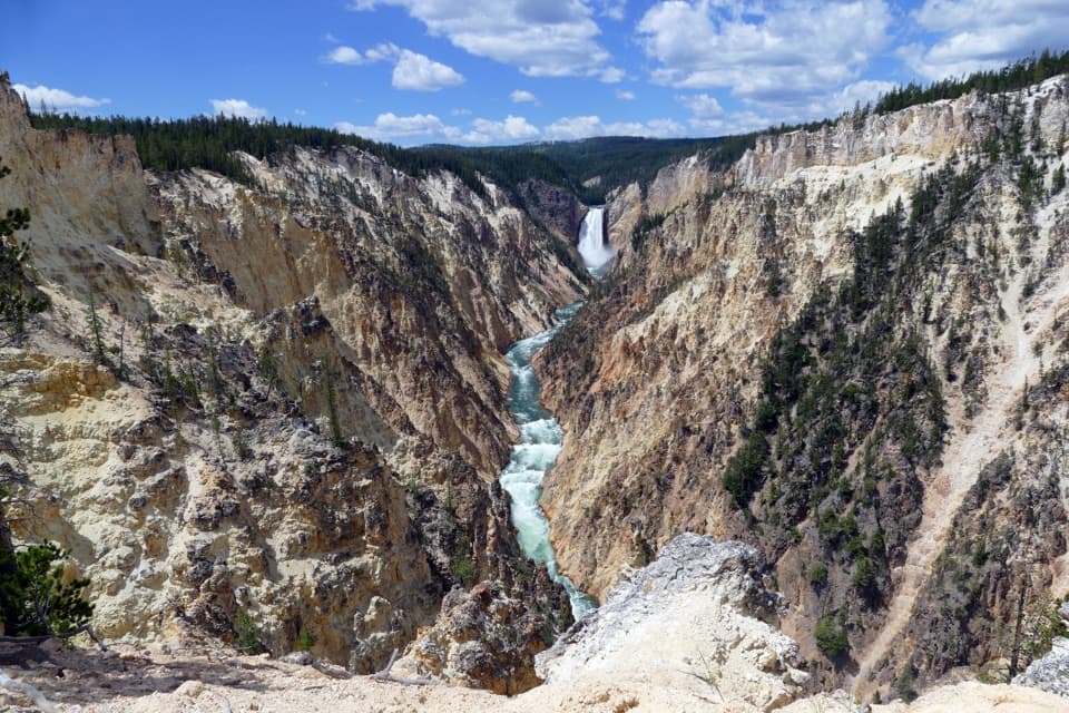 ModerateArtist Point–Point Sublime Trail3 mi · 1.8 hr · 0.7 mi awayThe canyon views begin before you reach Point Sublime.
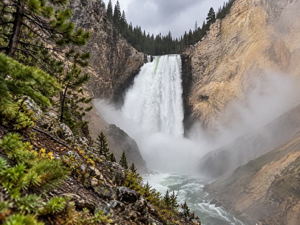 ModerateRed Rock Points Trail0.6 mi · 45 min · 1 mi awaySteep stairs bring you close to Lower Falls.
 ChallengingBrink of the Lower Falls Trail0.7 mi · 1 hr · 1.5 mi awayA close Lower Falls view after a steep, stepped descent.
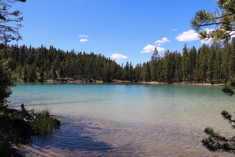 ModerateClear Lake–Ribbon Lake Loop Trail6.1 mi · 3.5 hr · 1.5 mi awayThermal ground, two lakes, and a canyon rim return.EasyClear Lake Trail1.4 mi · 1 hr · 1.5 mi awayA gentle short walk to a bubbling, spring-fed lake.
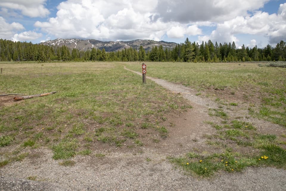 EasyCascade Creek Trail3.4 mi · 2 hr · 1.6 mi awayAn easy creek-and-meadow walk to the Cascade Lake Trail junction.
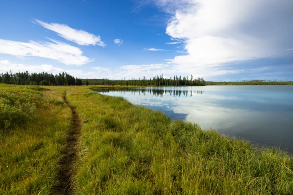 ModerateHoward Eaton Trail: Canyon to Ice Lake10.7 mi · 5.5 hr · 1.6 mi awayA long one-way traverse past four lakes, meadow, and marsh.
 Sight · 0.4 mi awayInspiration PointA broad canyon panorama, with Lower Falls in the distance.
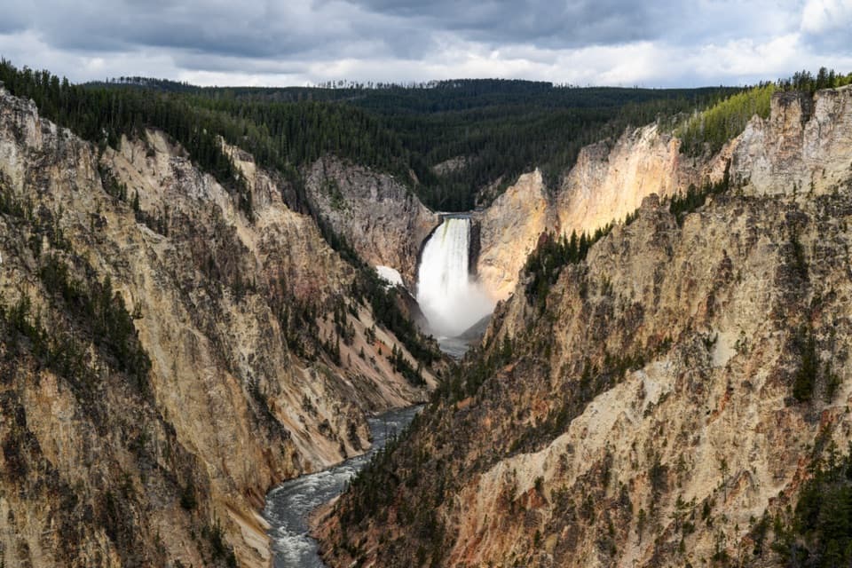 Sight · 0.7 mi awayArtist PointFrom the rim, the 308-foot Lower Falls anchors the view.
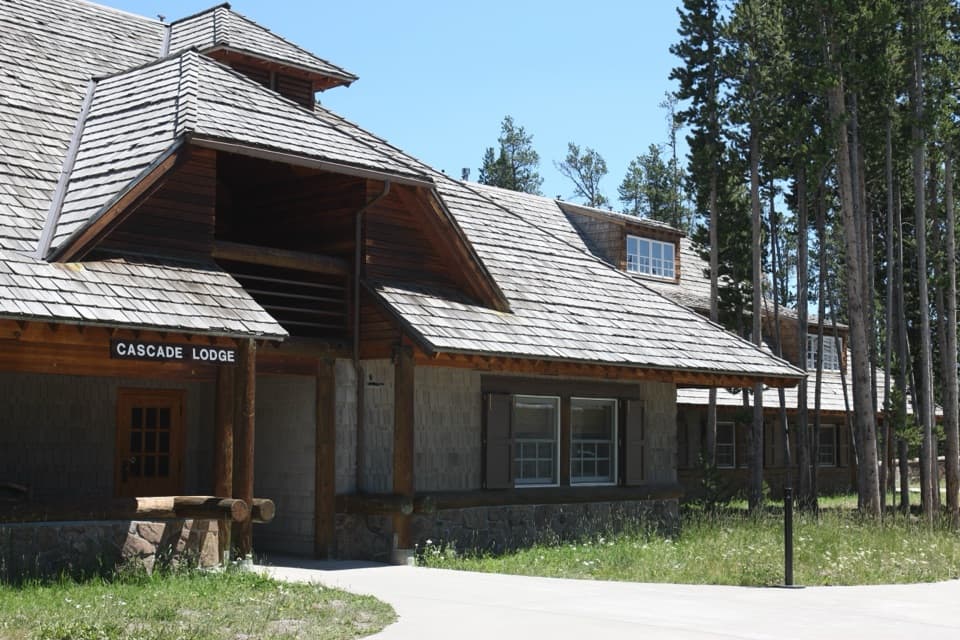 Lodging · 0.7 mi awayCanyon Lodge and CabinsA handy in-park base near the Grand Canyon and both loops.
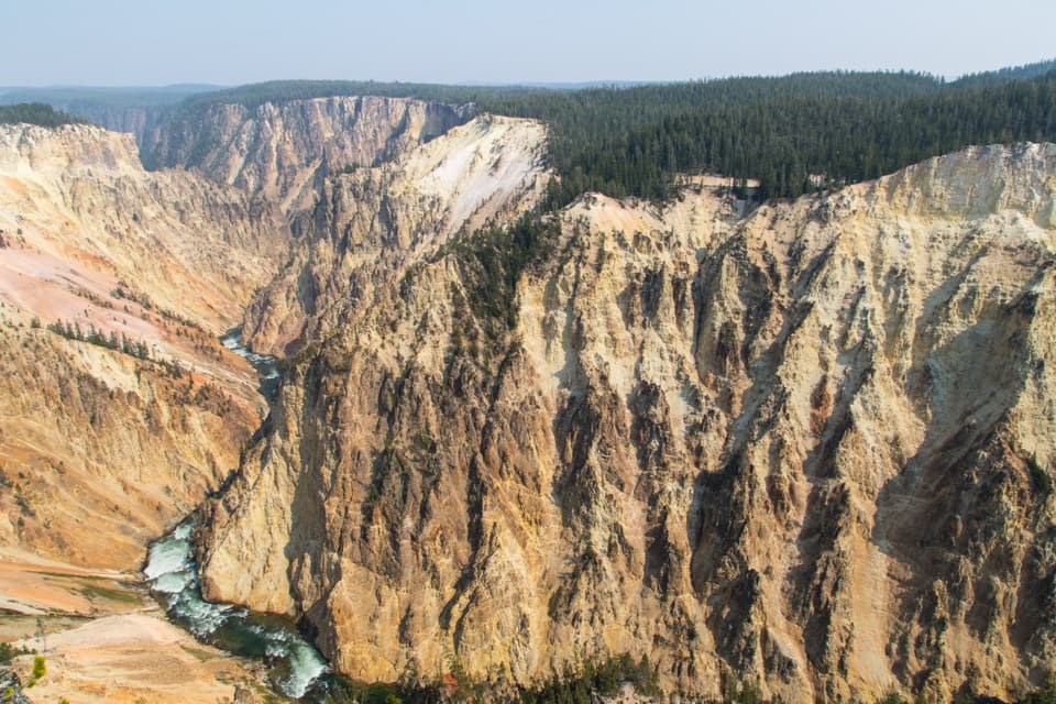 Sight · 0.7 mi awayGrand ViewA broad canyon view, with the river and Lower Falls far below.
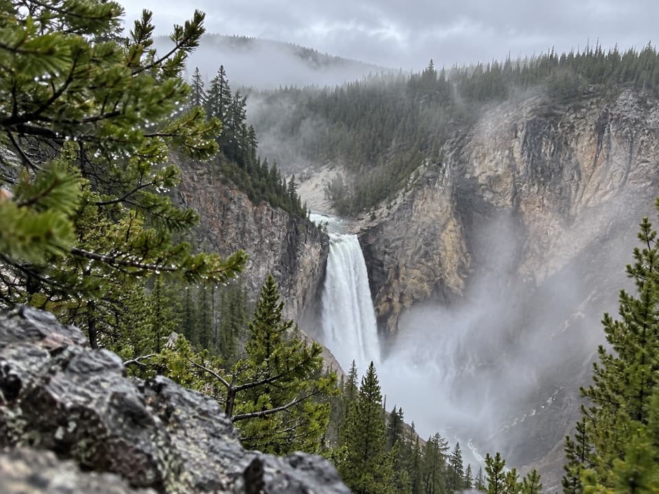 Sight · 0.8 mi awayPoint SublimeFollow the canyon rim; the clearest views come before the far point.
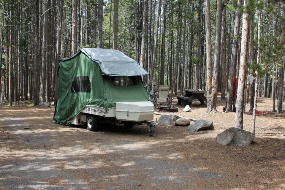 Campground · 0.8 mi awayCanyon CampgroundA 273-site, pine-wooded campground near Canyon Village.
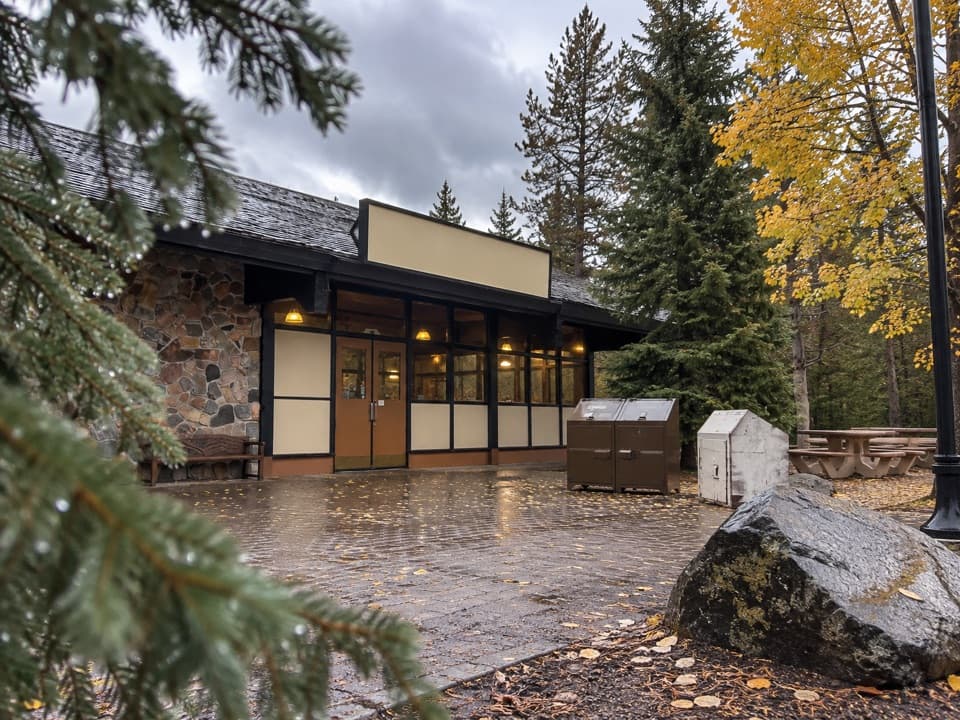 Store · 1 mi awayCanyon General StoreA nostalgic burger counter and useful supply stop in Canyon Village.
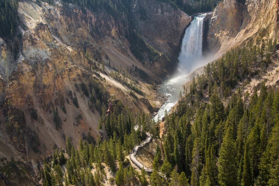 Sight · 1 mi awayLookout PointThe Lower Falls fills the canyon from this north-rim perch.
Parkwolf’s Yellowstone ranking

The audio tour guide for the drive, plus offline maps, trails, and wildlife heatmaps for when the signal drops.