
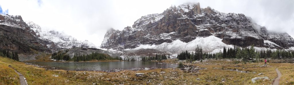
Place · 1.3 mi away
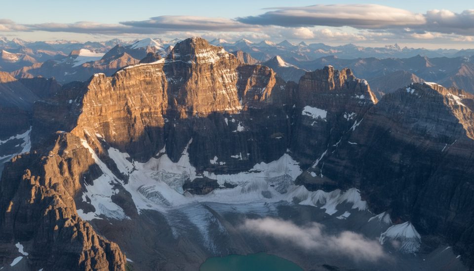
Hungabee Mountain (often called Mount Hungabee) straddles the Continental Divide on the Yoho–Banff boundary and towers over the Lake O’Hara basin. It’s the tallest summit in the Lake O’Hara/Lake Louise group and earns its name—drawn from a Stoney word for “chieftain”—by dominating every skyline in the area.
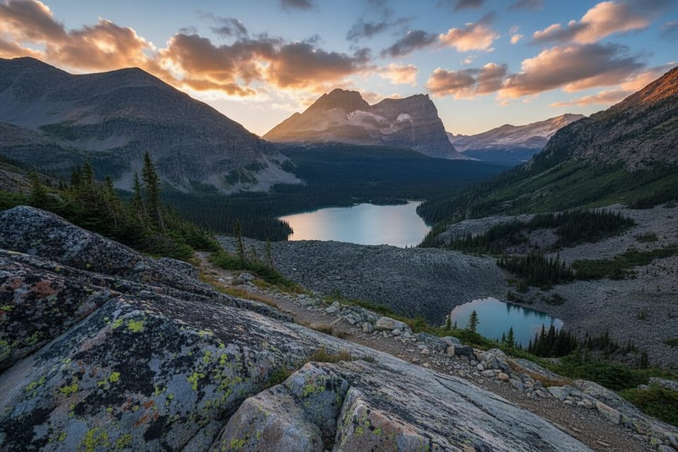
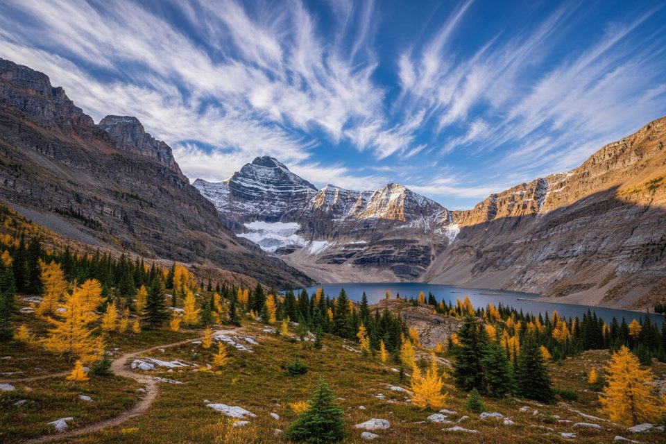
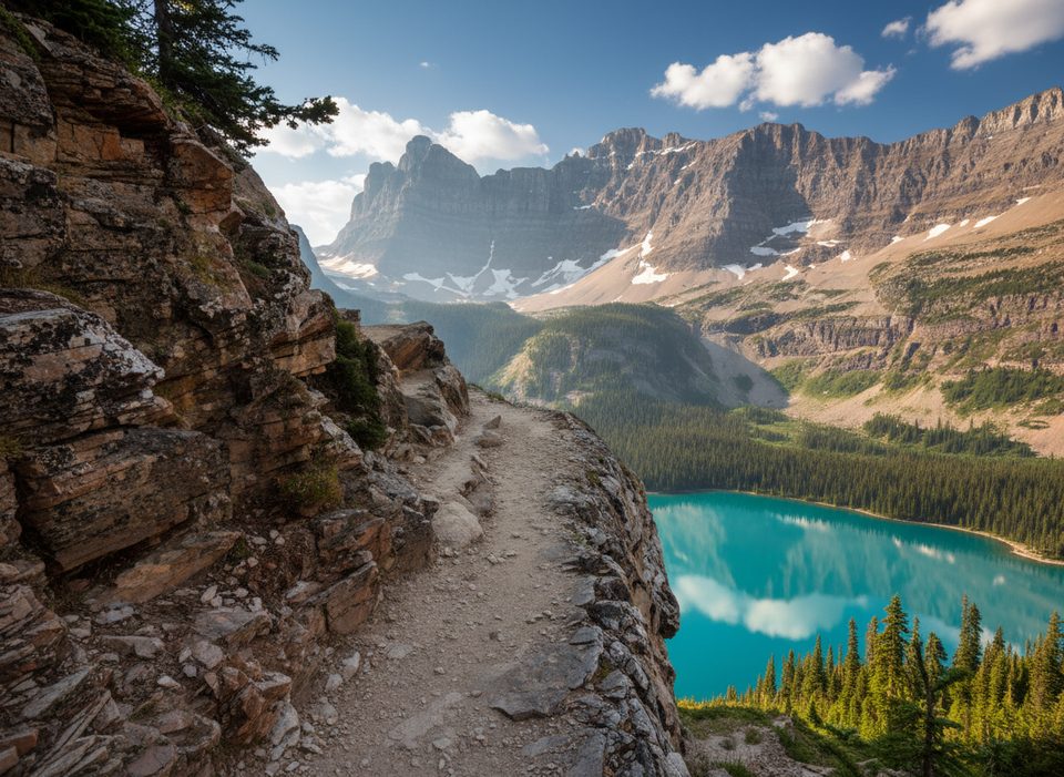
Expect a wedge-shaped, rugged massif with hanging ice and the Horseshoe Glacier nearby, set among a ring of celebrity peaks like Victoria, Lefroy, and Ringrose. From Lake O’Hara and the Opabin Plateau, you get sweeping views of turquoise lakes, rock and ice, and classic alpine scenery that photographers obsess over.
There are no amenities at the mountain—no trailhead, parking, restrooms, or water. Facilities are in the broader Lake O’Hara area (campground and hut), not at Hungabee itself. Access to Lake O’Hara is strictly limited to protect the area; shuttle seats require reservations and are hard to get in peak season. Roadside glimpses exist elsewhere in the Bow Valley, but the best views take effort.
Around Lake O’Hara and Opabin Plateau you may encounter mountain goats, hoary marmots, and pikas, plus occasional bears and high-country birds like Clark’s nutcrackers and golden eagles. Keep your distance and be prepared for wildlife encounters.
First ascent: July 21, 1903, by H.C. Parker with Hans and Christian Kaufmann. The peak’s sedimentary layers (Precambrian–Jurassic) were thrust east during the Laramide orogeny, creating the steep, broken architecture that defines its cliffs—and some of its climbing hazards.
This is a subarctic environment: cold, snowy winters and brief, mild summers. Weather shifts fast and wind chill can be severe even in summer. Early season can involve snow and avalanche risk; rockfall is a persistent hazard.
The official name is Hungabee Mountain, though “Mount Hungabee” remains common in older maps and modern trip reports.
Place · 1.3 mi away
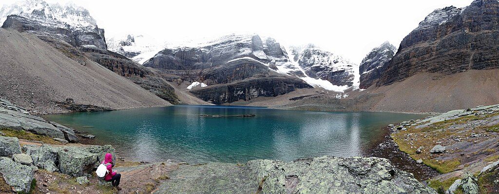
Place · 1.7 mi away
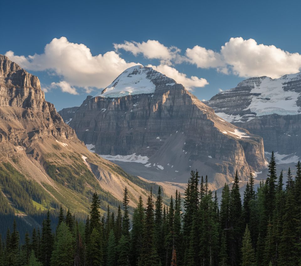
Place · 2 mi away
Place · 2.1 mi away
Moderate · 2.5 mi away
Easy · 2.8 mi away
Moderate · 8 mi away
Challenging · 8 mi away

Parkwolf Tour Guide
