
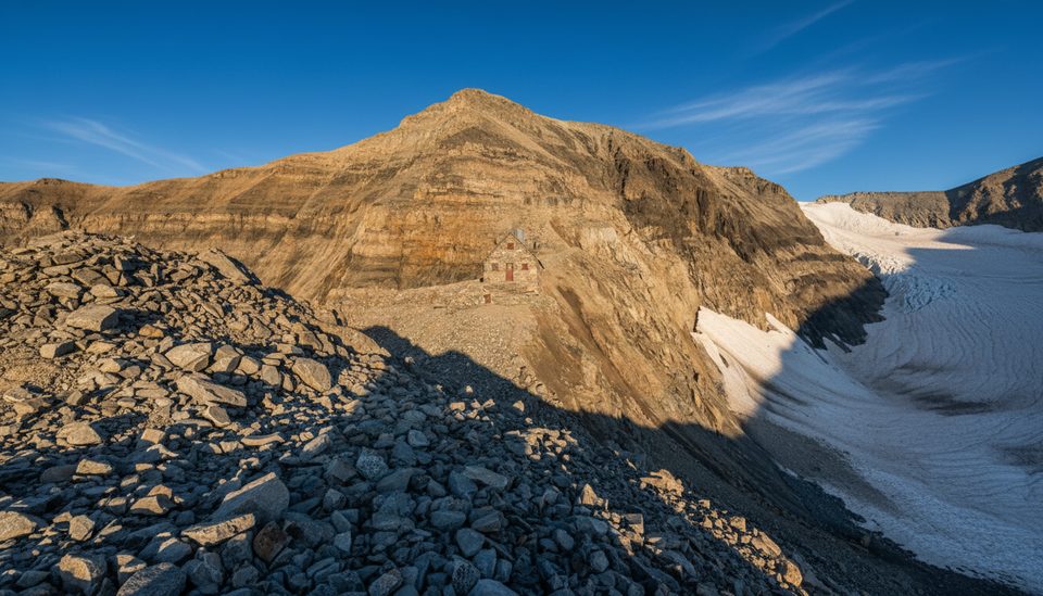
Place · 0.5 mi away
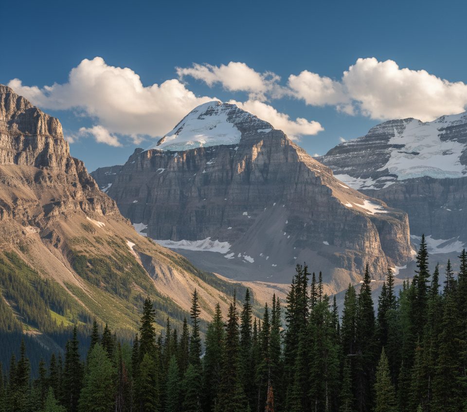
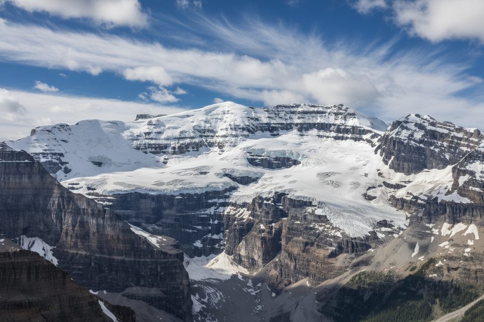
Mount Lefroy straddles the Alberta–British Columbia border on the Continental Divide, perched between Lake Louise and the Lake O’Hara basin. It’s a rugged, glaciated summit with steep faces and classic Rocky Mountain drama—less a casual stop, more an objective for experienced alpinists who want big views and bigger commitment.
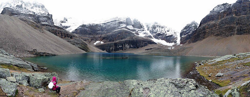
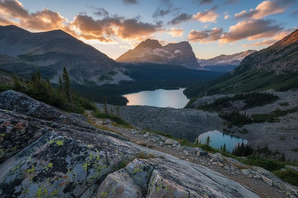
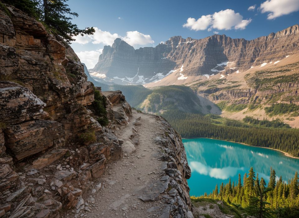
Expect soaring rock and snow, with the Lefroy Glacier tucked beneath the peak. On clear days, the panorama sweeps across Mount Victoria, Lake Louise, Lake O’Hara, and nearby peaks like The Mitre and Glacier Peak. From the Yoho side, hikers on the Lake O’Hara network (notably the Yukness Ledges area) get stellar sightlines to Lefroy with Lake Oesa and Lefroy Lake below.
This is a serious alpine climb. The standard West Face route (UIAA II) is a classic that still demands glacier travel skills, rockfall awareness, and solid route-finding. Guiding outfits often link it with Mount Victoria’s South Summit over a three‑day itinerary. Approaches typically begin from Lake O’Hara or Lake Louise; the Lake O’Hara shuttle requires advance reservation, and the alternative hike-in is long. The historic Abbot Pass Hut—once the key base—was dismantled in 2022 due to slope erosion, so parties must be fully self-sufficient.
Named in 1894 for Sir John Henry Lefroy, the mountain is woven into early Canadian mountaineering history. The area saw Canada’s first recorded mountaineering fatality (Philip Stanley Abbot, 1896), and the first successful ascent followed in 1897. Lefroy’s striking form also caught the eye of artists, including Lawren Harris.
Around the alpine basins and rocky slopes you might encounter mountain goats and bighorn sheep, with pikas and marmots in the talus. Bears (black and grizzly) are occasionally seen at lower elevations—standard precautions apply on approaches.
Few peaks let you stand (or gaze) right on a continental watershed divide with simultaneous context to two of Canada’s most beloved alpine basins. For hikers staying low, the Lake O’Hara circuits frame Lefroy beautifully; for climbers, it’s a historic, committing line in a spectacular setting.
There are no amenities on or near the mountain—no trailhead, restrooms, or hut. Bring full alpine gear (helmet, crampons, ice axe, rope and glacier kit) and be prepared to turn back if conditions deteriorate.
Place · 0.5 mi away
Place · 1.2 mi away
Place · 1.5 mi away
Place · 1.5 mi away
Moderate · 2.2 mi away
Easy · 2.5 mi away
Moderate · 6.1 mi away
Challenging · 6.1 mi away

Parkwolf Tour Guide
