
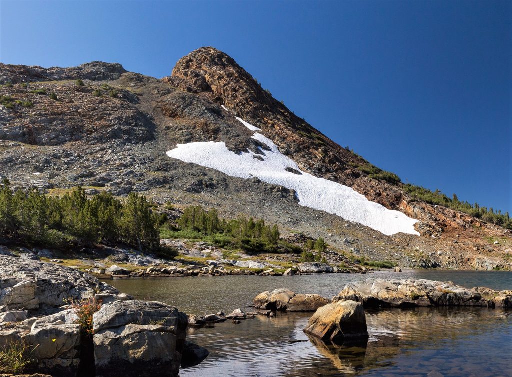
Place · 0.4 mi away
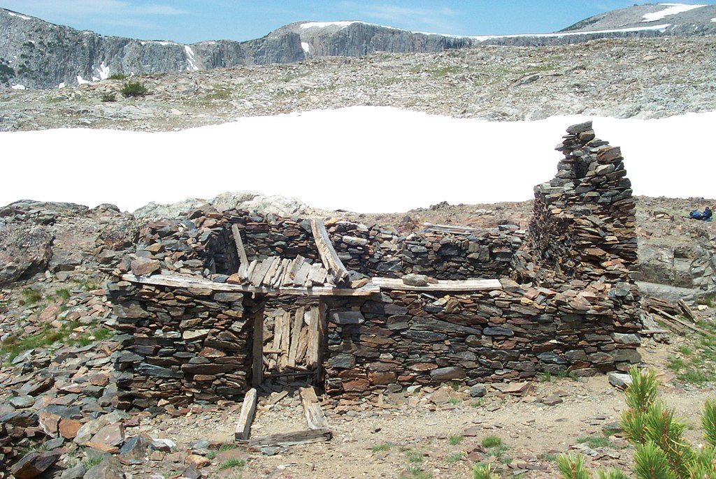
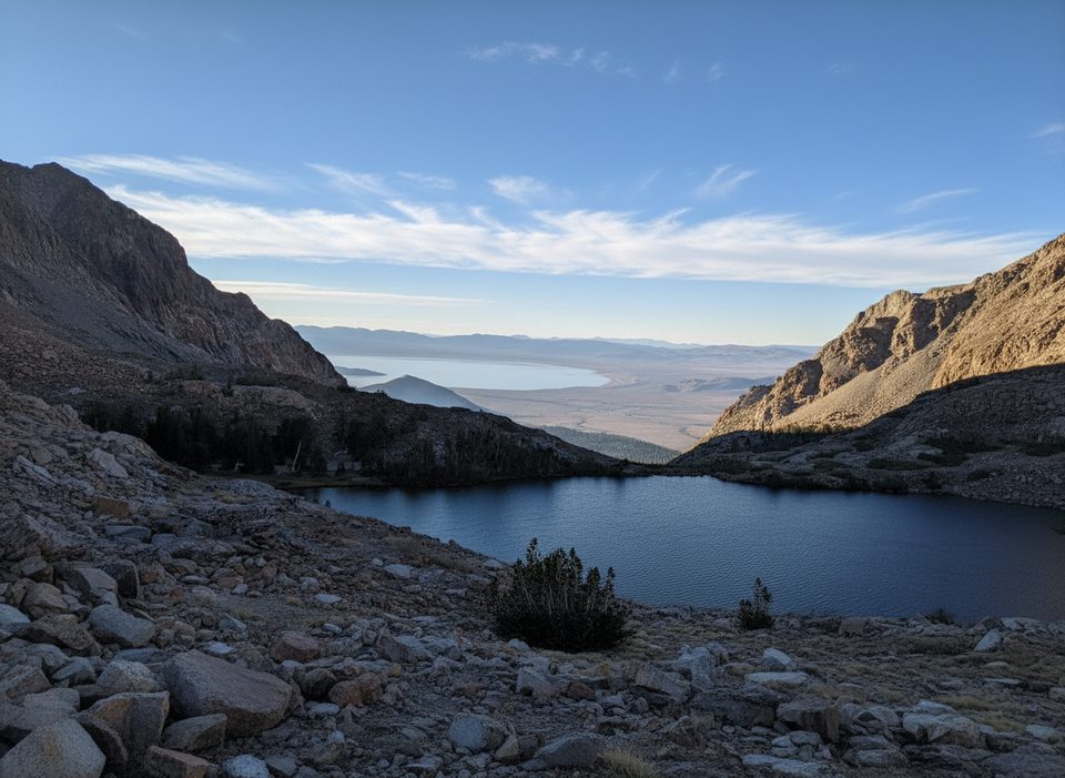
Perched above Tioga Pass, the Great Sierra Mine Historic Site is Yosemite’s high-country ghost mine—think stone cabins, a powder house, a blacksmith shop, adits, and waste-rock piles scattered across open alpine slopes. It’s a quick, rewarding detour with big views of Gaylor Lakes and the Tioga crest, and a tangible slice of the short-lived silver boom that helped spawn the route of today’s Tioga Road.
Most visitors reach the ruins via short hikes (roughly 2–4 miles round-trip depending on route). The most direct path starts from the Gaylor Lakes trail near Tioga Pass—expect a stout, immediate climb of about 600 feet over a half mile before the terrain opens to meadows, lakes, and the mine area above Upper Gaylor Lake. Alternatively, you can start from the Tioga Lake pullout or Junction Campground and walk the old wagon road past Bennettville before climbing to the workings. Restrooms are at the trailheads, not at the site, and parking can be limited at the Tioga Pass lot.
You’ll wander among the remains of five stone cabins, a powder house, and a blacksmith shop. Some mine shafts and adits are collapsed or sealed—don’t enter any opening or structure. The setting is wide-open and windy, with sweeping views and classic Sierra light that’s fantastic for photos.
Miners chased the Sheepherder Lode here in the late 1800s. The Great Sierra Consolidated Silver Company established a camp on Tioga Hill and, to supply it, built the Great Sierra Wagon Road—later purchased and incorporated as Tioga Road. Large-scale work largely ended by 1884 after expensive tunneling failed to deliver on the promise; a 1933 revival also fizzled. Nearby Bennettville served as the company town during the boom years and still shows restored and historic remnants.
This is prime marmot-and-pika country—listen for squeaks from talus piles and watch for yellow-bellied marmots sunning on rocks. Clark’s nutcrackers and other high-country birds patrol the ridges. Mid to late summer can bring pockets of alpine wildflowers; stay on durable surfaces to protect fragile tundra.
Only when Tioga Road is open—typically late spring/early summer through fall, snow permitting. Go early or late in the day for easier parking, softer light, and fewer people. In summer, plan for fast-building afternoon thunderstorms. Early season can mean lingering snow on the pass and along shaded sections.
You’re at 10,000+ feet: the climbs feel bigger, sun is intense, and weather turns quickly. Bring layers, sun protection, and plenty of water—there’s no potable water at the site. Treat the area as a protected historic landscape: don’t enter structures or adits, and leave artifacts exactly where you find them.
Place · 0.4 mi away
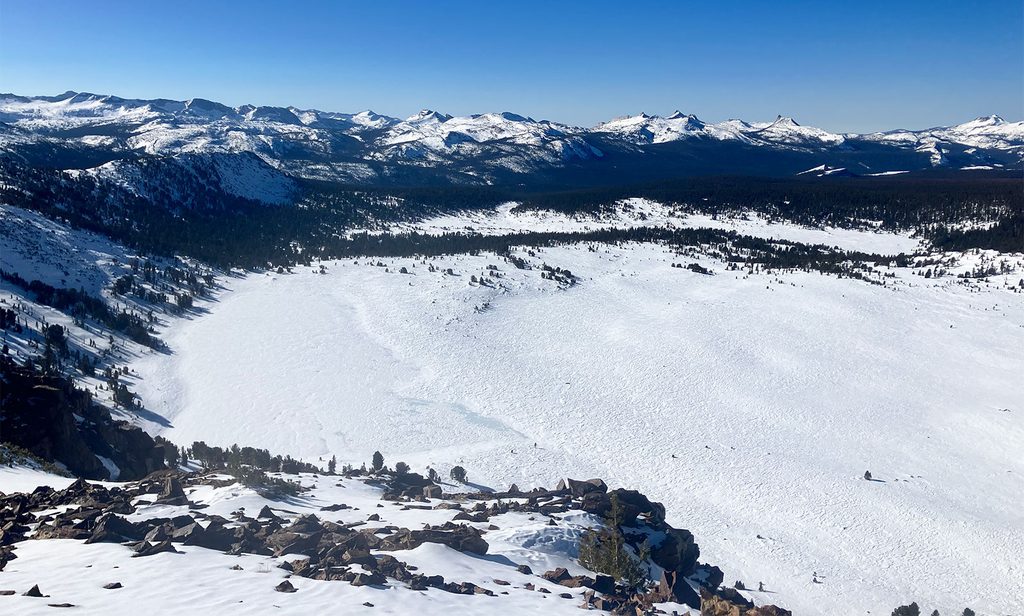
Place · 1.1 mi away
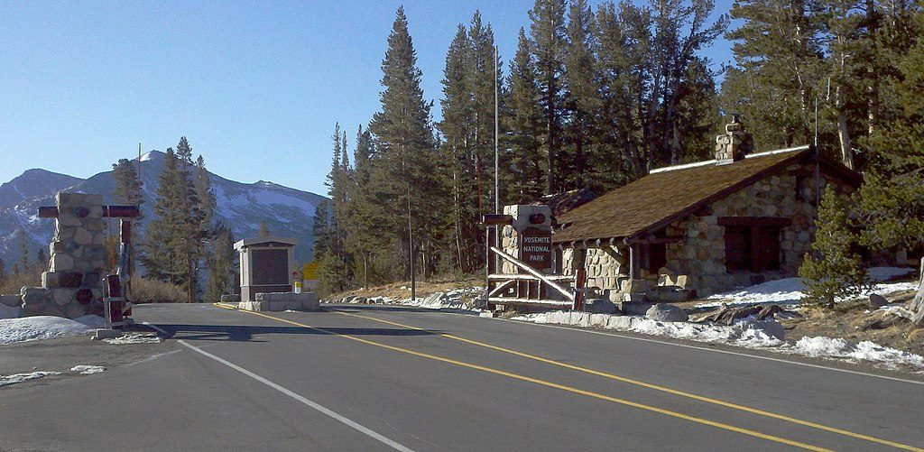
Place · 1.3 mi away
Place · 1.6 mi away
Challenging · 1.3 mi away
Moderate · 1.4 mi away
Moderate · 1.4 mi away
Moderate · 2.6 mi away

Parkwolf Tour Guide
