
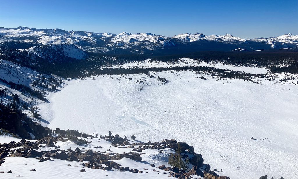
Place · 1 mi away
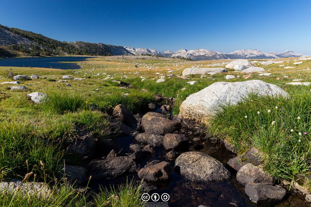
Lower Gaylor Lake is a quiet, high-country gem tucked just off Tioga Road. Expect a moderate 4.6–4.7 mile out-and-back with roughly 800–850 feet of gain, most of it in the first half-mile. You’re hiking near 10,000 feet, so the air is thin—but the payoff is a peaceful alpine lake, broad meadows, and big Sierra vistas.
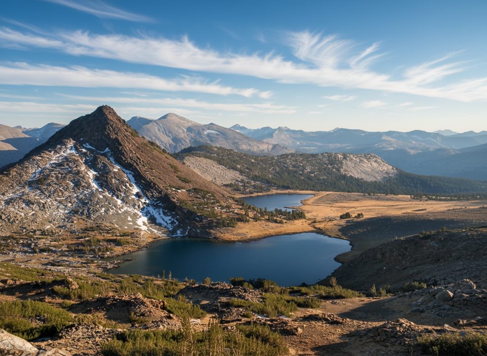
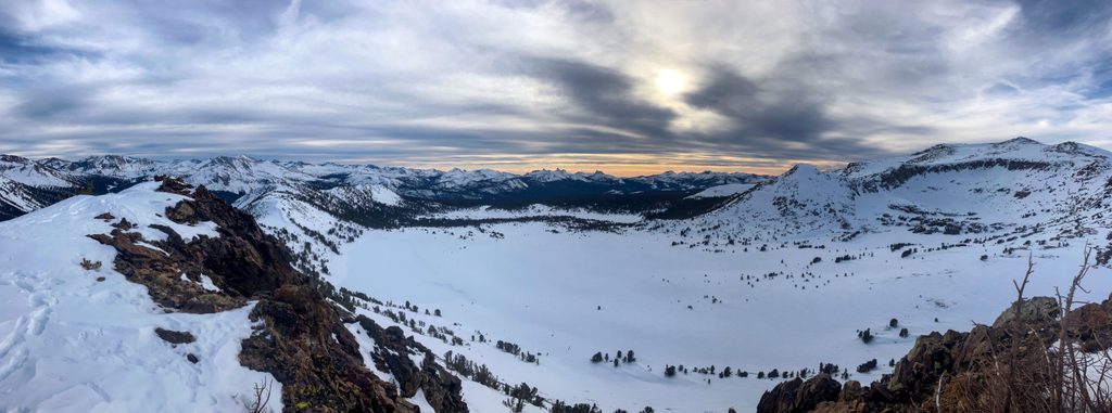
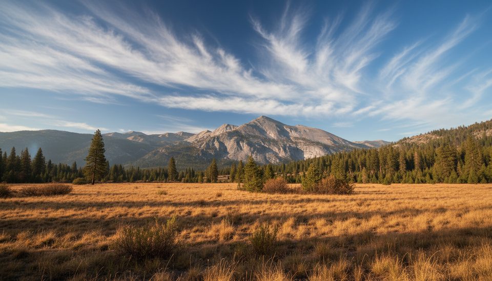
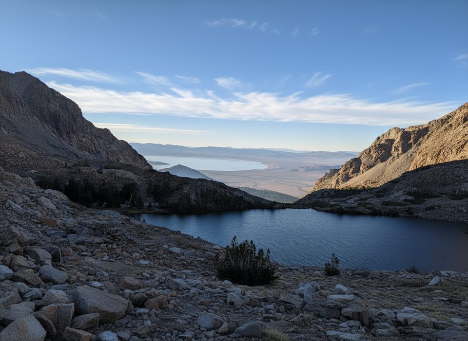
From a small roadside pullout, the path climbs steadily through forest before easing onto an open meadowy plateau. You’ll skirt a creek that drains the surrounding Granite and Gaylor lake basins, then pick your way across bouldery, marsh-cut ground where the tread can fade. At the shore, you’re rewarded with a quiet, granite-rimmed lake and wide views toward peaks in the Cathedral Range and Mammoth Peak. The basin has that subalpine feel—tussocky meadows, reflecting pools, and scattered slabs.
This trail sees fewer people than the main Gaylor Lakes route by Tioga Pass, so solitude is common. Marmots are often spotted in the basin—give them space and protect your snacks. Do come prepared for mosquitoes, especially around the meadows and lakes in early to mid-summer.
Call it easy-to-moderate with a sting at the start: the first half-mile climbs steeply (around a 20% grade). At altitude, take it slow and hydrate.
Come when Tioga Road is open (typically summer into fall, conditions vary by year). Start early to snag a turnout and to beat common afternoon thunderstorms in the High Sierra. Bug pressure is highest in early/mid-summer around the meadows; later season usually means fewer mosquitoes and firmer ground.
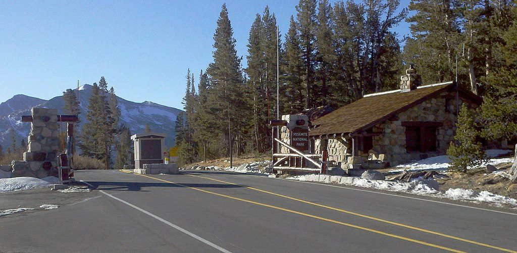
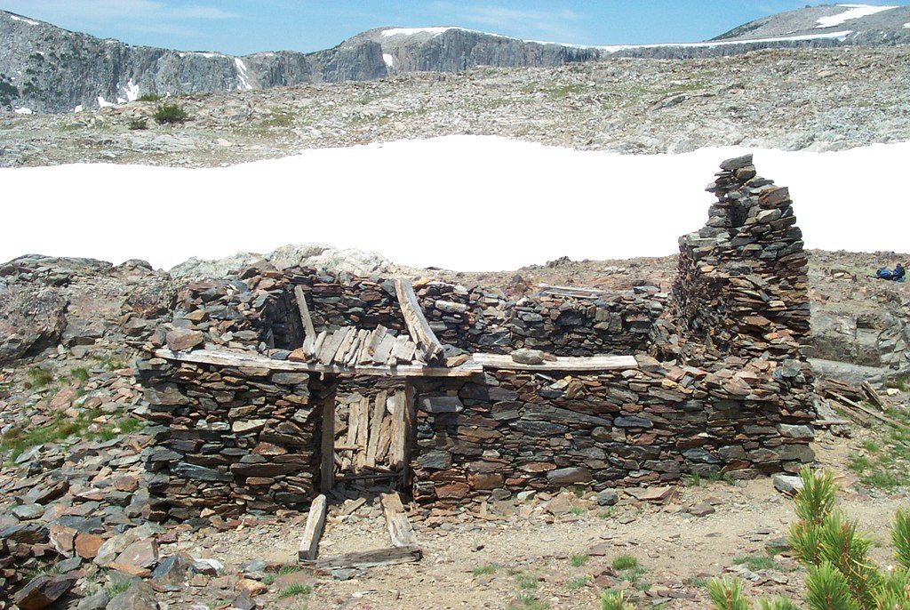
Don’t confuse this with the better-known Gaylor Lakes trailhead at the Tioga Pass entrance—that one goes to Middle/Upper Gaylor and the old mine site. Lower Gaylor has its own low-key pullout and a much quieter feel.
Place · 1 mi away
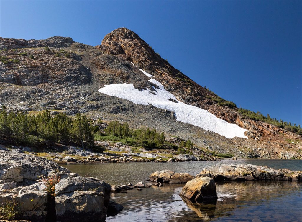
Place · 1.4 mi away
Place · 1.5 mi away
Place · 1.6 mi away
Moderate · 1.5 mi away
Moderate · 1.5 mi away
Challenging · 1.6 mi away
Moderate · 1.8 mi away

Parkwolf Tour Guide
