Pros & cons
PROS
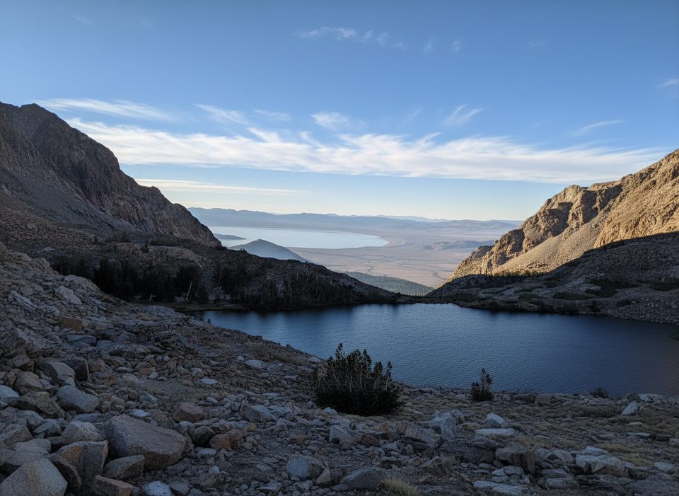
- Big views toward Mono Lake and Bloody Canyon just beyond the pass
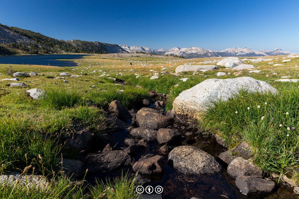
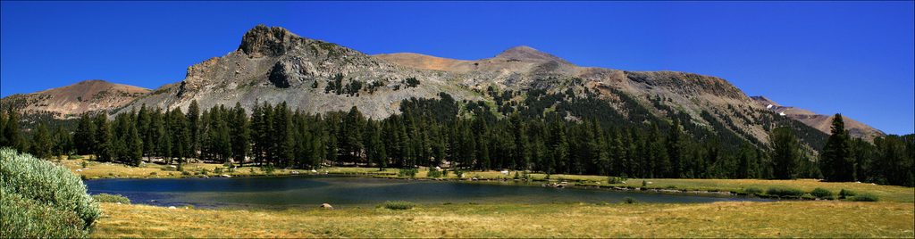
- Quieter high-country hike with meadows, creeks, and wildflowers
CONS
- Thin air above 10,000 ft makes the climb feel tougher
- Early/late-season snow and creek crossings can complicate travel
Overview
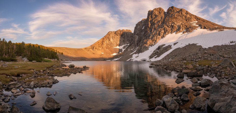
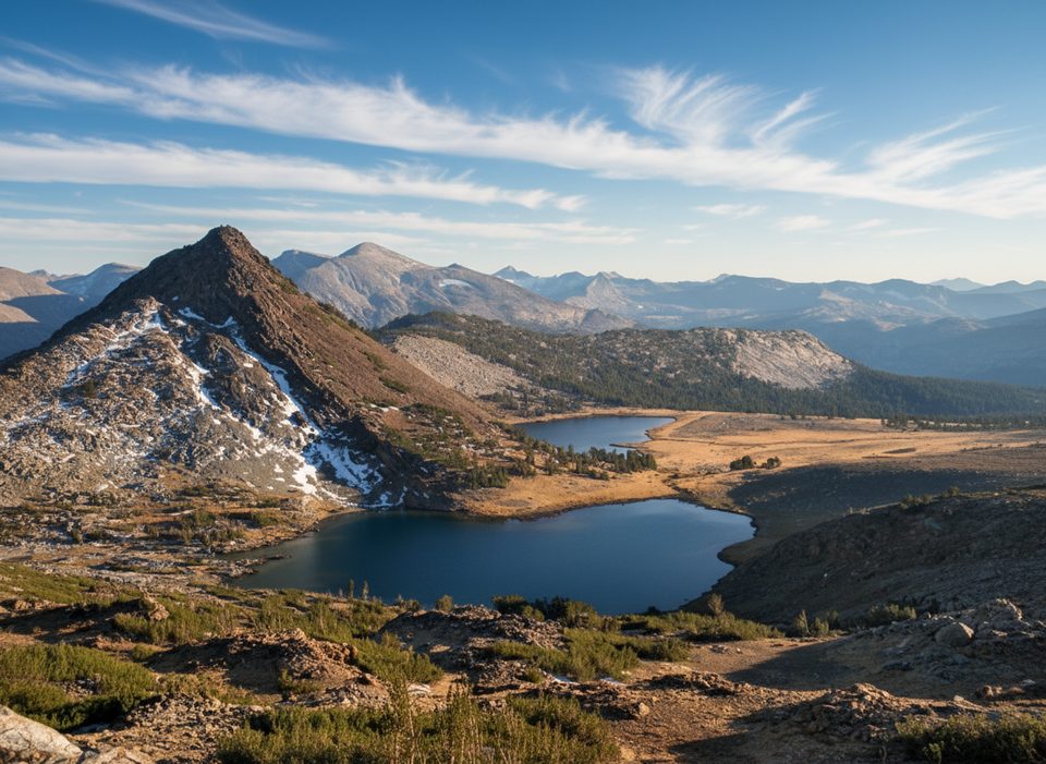
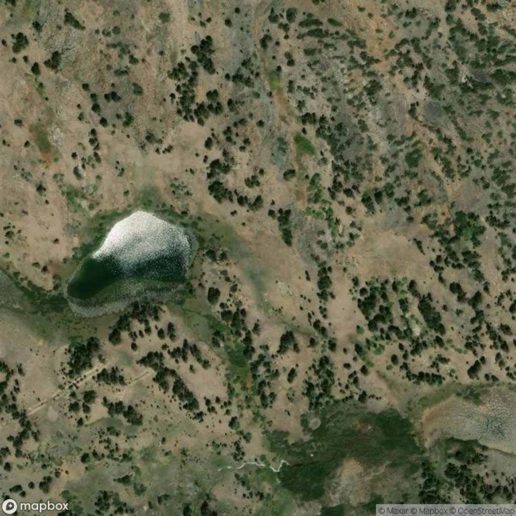
Mono Pass is a high, windswept saddle on Yosemite’s east rim that delivers a dramatic “two worlds” moment: lush west-slope meadows and streams give way to the stark reds and grays of Bloody Canyon with vistas toward Mono Lake. It’s a rewarding, less-crowded high-country target if you’re comfortable with altitude.
Route at a Glance
- Distance/gain: about 7.4–7.8 miles round trip with roughly 900–1,000 feet of elevation gain.
- Elevation: the pass sits around 10,600 feet. The grade is moderate overall, but the thin air makes it feel punchier.
- Key turns: at both signed forks on the main route, stay left for Mono Pass; right goes to Spillway Lake and Parker Pass. Don’t stop at the pass sign—walk a bit farther east for the classic overlook above Upper/Lower Sardine Lakes with the Mono Lake view.
- Extras: Detour to Spillway Lake for a mellow alpine lake stop; beyond the pass you may find remnants of old cabins and mining history.
Season and Trail Conditions
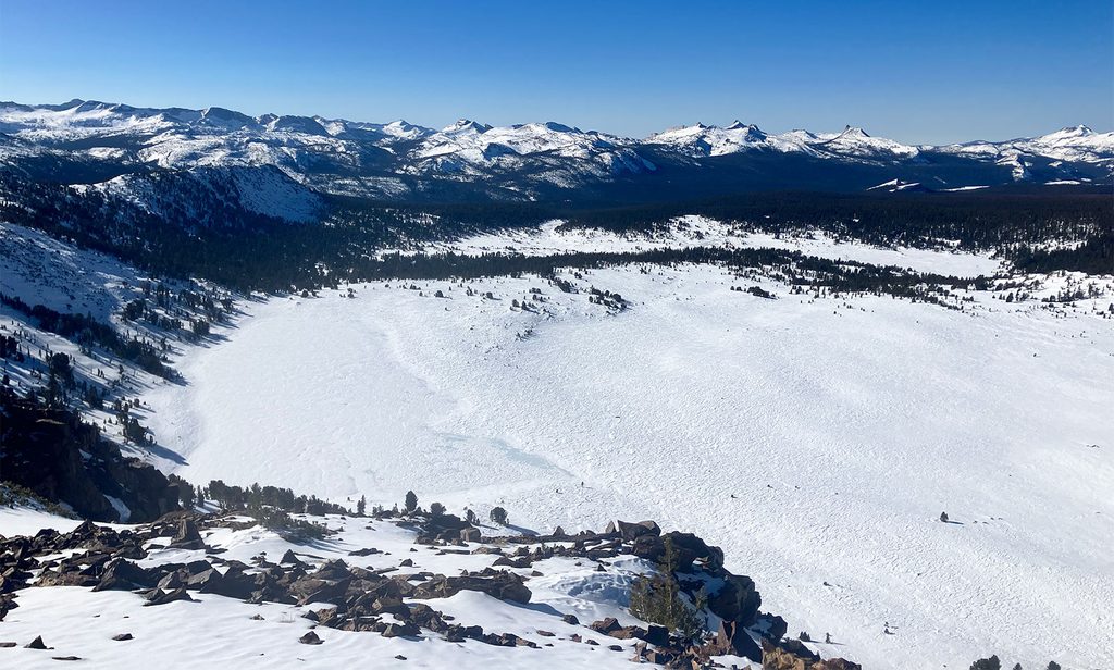
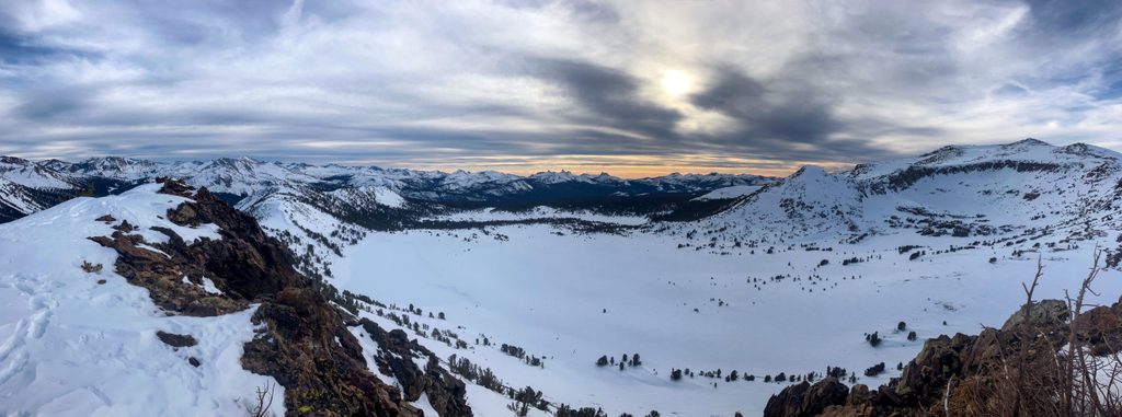
- Season: Go when Tioga Road is open (typically summer into fall). Early and late season can bring lingering snowfields, obscured tread, and higher, colder creek crossings.
- Water/footing: Expect several stream crossings; early season may mean wet feet. Mosquitoes can be lively near meadows and seeps—bring protection.
- Navigation: Patches of snow can hide the trail; carry an offline map and turn back if coverage increases.
- Air quality: Haze or regional smoke can mute Mono Lake views—worth checking conditions before you go.
History and Landscape
This is a historic trans-Sierra route that once linked the west slope to the Mono Basin. The approach serves up classic subalpine meadows and rushing creeks, then the terrain hardens into the colorful, glacially carved walls of Bloody Canyon. Near the pass area, hikers report old cabins and mining relics—quiet reminders of that past.
Wildlife
You’re in high-elevation habitat where hardy alpine species thrive. Sierra Nevada bighorn sheep occur in these ranges—rare to spot, but if you’re lucky enough, give them space and keep your distance. Marmots and birds are more common companions.
Best Time to Visit
- Start early for solitude and cooler temps; it’s usually far quieter than Yosemite Valley even at midday.
- Wildflowers often linger into July around the meadows.
- Clear, stable-weather days deliver the best Mono Lake vistas; be ready for sudden weather changes typical of the high country.
Alternate Approach
Strong, experienced hikers can also reach Mono Pass from the east via Bloody Canyon/Walker Lake. It’s steeper, longer, and rougher, with seasonal washouts and tough footing—worthy but demanding.
Regulations and Practicalities
Day hiking requires no permit; overnight trips need wilderness permits (Mono/Parker Pass trailhead quota). There’s no drinking water service—carry and treat your own. Follow Leave No Trace and pack out all trash.
Where it is
37.8552, -119.2135Tips for Mono Pass
- 01Walk past the pass sign to the Sardine Lakes overlook for the best view.
- 02Start early to beat afternoon winds, potential storms, and to find solitude.
- 03Expect a few creek crossings and bring mosquito protection in early summer.
- 04Carry plenty of water and a way to treat it—no potable water available.
- 05Snow patches can hide the trail early/late season; bring an offline map.
Amenities
Near Mono Pass
All places →All trails →
3.1 mi awayMount DanaSky-high summit with Mono Lake views via a steep, rocky climbTrailhead · Parking
3.6 mi awayMono Pass TrailHigh-country meadows to big Mono Lake views and mining relicsModerate · 7.8 mi · 4 hr
3.6 mi awayParker Pass TrailOpen alpine walk to an 11,100 ft pass with big, quiet views.Moderate · 10 mi · 5.5 hr
4.5 mi awayGaylor Lakes & Granite Lakes TrailBig alpine bang: steep start, quiet lakes, and ridge top mine viewsModerate · 4.3 mi · 3 hr
4.5 mi awayLower Gaylor Lake TrailQuieter Tioga high-country stroll to a photogenic alpine lakeModerate · 4.6 mi · 2.5 hr
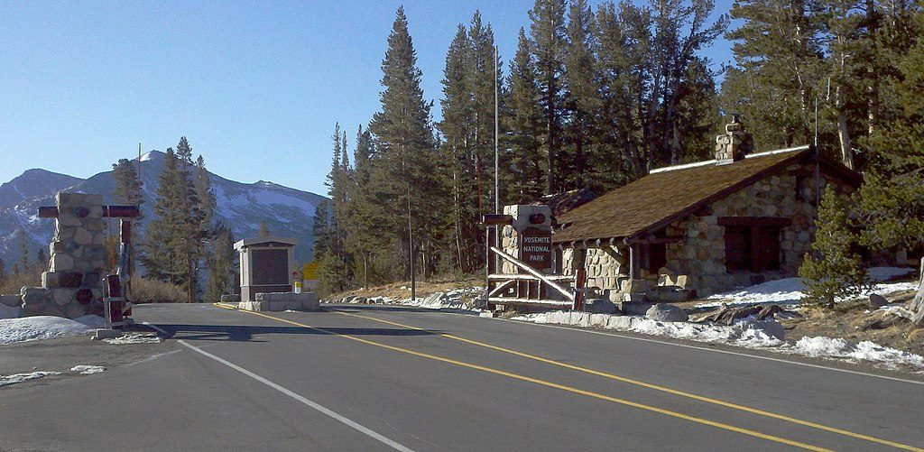
4.5 mi awayTioga Pass Entrance StationEastern gateway to the high country with 1930s stone buildingsEntrance Station
5 mi awayGaylor LakesShort, high-alpine hike to glassy lakes and a historic mineTrailhead · Restroom
5.4 mi awayLower Gaylor LakeQuiet alpine lake and meadows just off Tioga RoadTrailhead · Parking