Pros & cons
PROS
- Stellar summit views over Twenty Lakes Basin and Tuolumne Meadows
- Fun East Ridge scramble with some built steps near the top
CONS
- Faint/social trails make route-finding tricky, especially with snow
- No day-use parking inside Sawmill Walk-in Campground; risk of towing
Overview
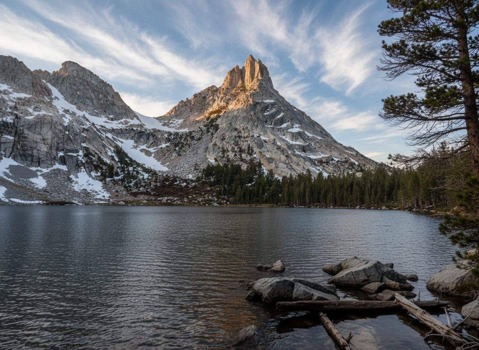
Mount Conness is a big, beautiful granite summit straddling the Yosemite–Inyo crest. It rewards you with airy ridge walking, a touch of exposure, and sweeping views across the Conness/Alpine Lakes and the high country. Expect real mountain travel: off-trail sections, cairn hunting, and a satisfying mix of Class 2–3 scrambling—especially on the classic East Ridge.
Main Ways Up
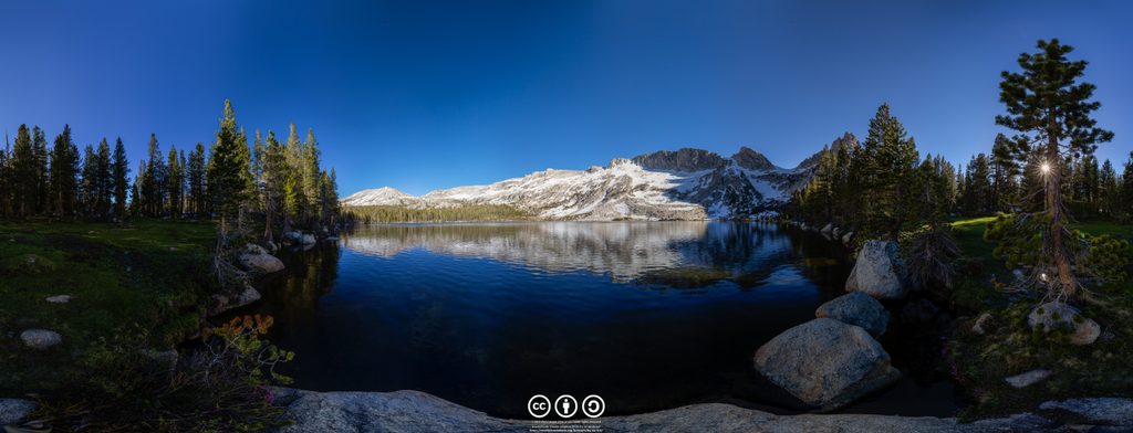
- Tuolumne Meadows via Young Lakes: The Yosemite-only option and a gorgeous sufferfest—roughly 19 miles and 5,400+ feet of gain—best for very strong day hikers or as an overnight. You’ll start near Lembert Dome, pass Dog Lake and the Young Lakes, then finish with Class 2 scrambling to the summit. Trail navigation gets trickier beyond the lakes, so bring offline maps.
- East Ridge from the Saddlebag/Sawmill side (outside the park): A shorter, scramblier day. Walk through Sawmill Walk-in Campground (don’t park inside if you’re not camping), pass the Harvey Monroe Hall Natural Area sign, and work up toward Alpine Lake and the East Ridge. The ridge itself is mostly Class 2/3, with a narrow, exposed feel in places and even some built steps near the summit. Many folks tag Conness, then traverse toward White Mountain for bonus views.
What It’s Like Up There
The approach evolves from mellow forest and meadows to slabby granite and big boulders. Expect faint use trails and cairns, patches of loose footing off the ridge, and a more defined, well-constructed path near the summit. If you continue toward White Mountain, the saddle is sandy and the descent can be steep and loose—take it slow.
Permits, Parking, and Facilities
- Day hikes don’t need a permit; overnights do (trailhead quotas apply). If you start outside the park (e.g., Saddlebag Lake/Sawmill), get your wilderness permit from the agency that manages that trailhead.
- Lembert Dome/Dog Lake trailheads use vault toilets (no potable water). Fill up elsewhere in Tuolumne Meadows when services are open.
- Tioga Road access is seasonal; when it’s closed, you can’t drive to Tuolumne trailheads. No overnight parking along Tioga Road after October 15.
- Sawmill is a walk-in campground—signs prohibit day-use parking inside. Park outside and walk through to pick up the route.
Conditions and Safety
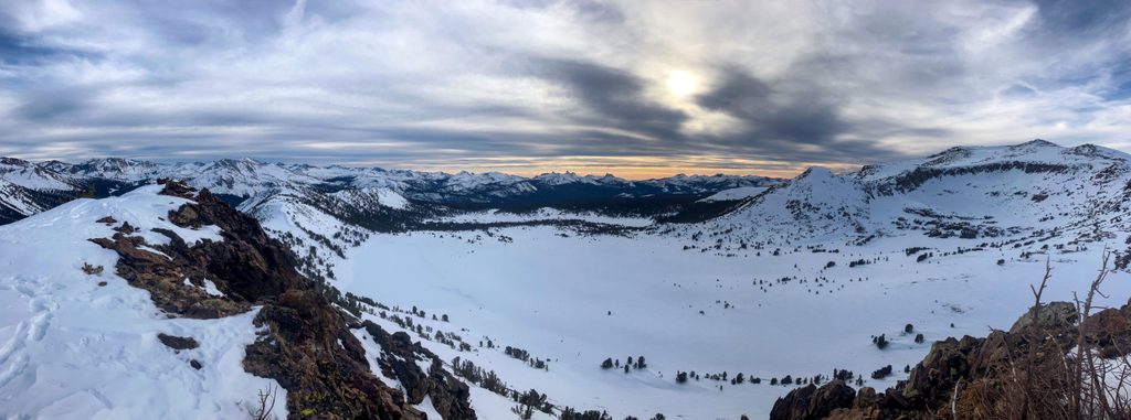
High-elevation travel is demanding. In early season, snow can make everything slower: midday surfaces turn punchy, stream crossings swell later in the day, and rockfall is a real hazard in couloirs or beneath rock bands. A helmet, traction, poles, and an ice axe (as conditions dictate) are smart. Altitude hits hard here; pace conservatively and carry more water than you think you need. Navigation is part of the fun—download maps and be ready to adjust.
Geology & Scenery
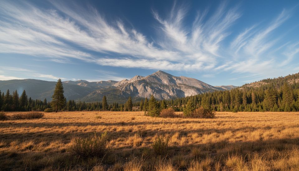
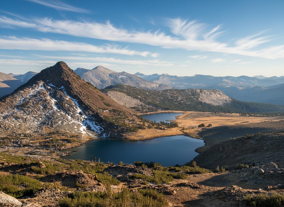
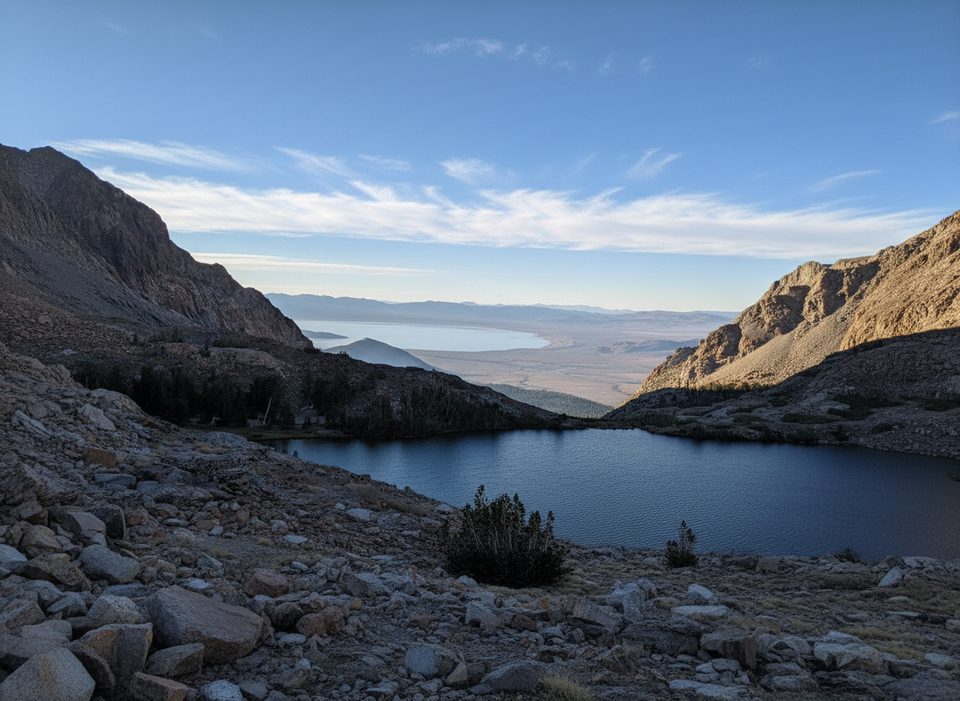
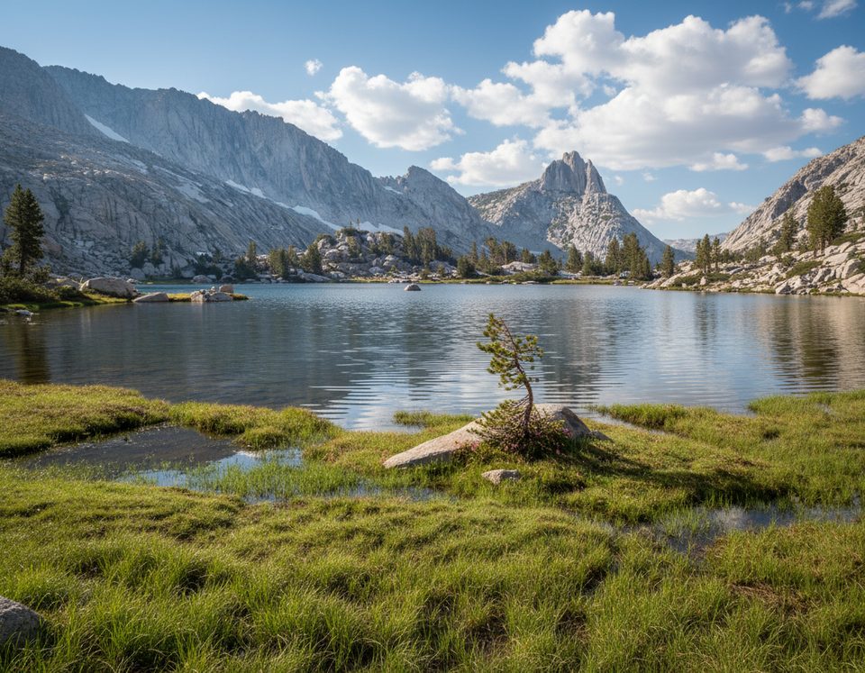
You’re walking on the Sierra Nevada batholith—hard granitic rock sculpted by glaciers into cirques, tarns, and polished slabs. The Conness/Alpine Lakes basin is classic high-country terrain with big granite, sparse trees, and very little shade. The views span Twenty Lakes Basin to Tuolumne’s domes and meadows.
Best Time to Visit
Aim for mid to late summer when Tioga Road is open and snow coverage has receded. Start early for firmer snow (if present), easier stream crossings, cooler temps, and a better shot at dodging typical afternoon thunderstorms. Weekdays keep it quieter; mornings give you the best footing and the calmest conditions.
Where it is
37.9669, -119.3213Tips for Mount Conness
- 01If starting at Sawmill, park outside the walk-in campground; day-use cars risk towing.
- 02Download offline maps—use trails and cairns are easy to miss, especially with snow.
- 03Start early to avoid mushy snow and bigger afternoon stream crossings.
- 04From Tuolumne trailheads, fill water in the Meadows first; vault toilets mean no potable water.
- 05Helmet and traction can be worth their weight if you encounter snow or rockfall-prone sections.
Amenities
Near Mount Conness
All places →All trails →
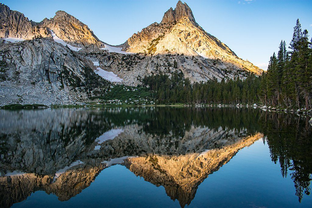
2.3 mi awayUpper Young LakeThe quietest Young Lake, set in a high granite cirque
2.3 mi awayYoung LakesThree alpine lakes with big views and optional solitudeScenic Viewpoint
2.9 mi awayRagged PeakGranite summit with wide Tuolumne views and playful class 3 finishScenic Viewpoint
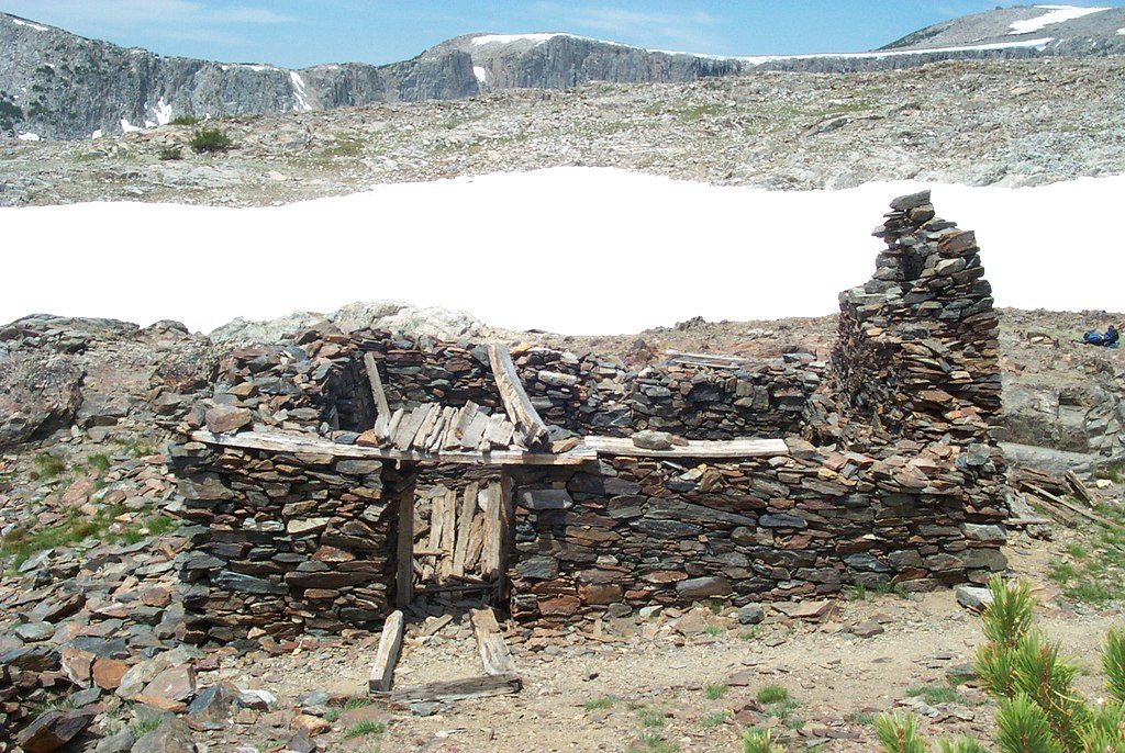
3.9 mi awayGreat Sierra Mine Historic SiteHigh-country ghost mine with big views and evocative stone ruinsTrailhead · Restroom
5.2 mi awayMount Dana TrailSteep, high-altitude grind to outrageous Mono Lake panoramas.Challenging · 6 mi · 5.5 hr
5.2 mi awayGaylor Lakes & Granite Lakes TrailBig alpine bang: steep start, quiet lakes, and ridge top mine viewsModerate · 4.3 mi · 3 hr
5.2 mi awayLower Gaylor Lake TrailQuieter Tioga high-country stroll to a photogenic alpine lakeModerate · 4.6 mi · 2.5 hr
6.1 mi awayMono Pass TrailHigh-country meadows to big Mono Lake views and mining relicsModerate · 7.8 mi · 4 hr