
Place · 0.5 mi away
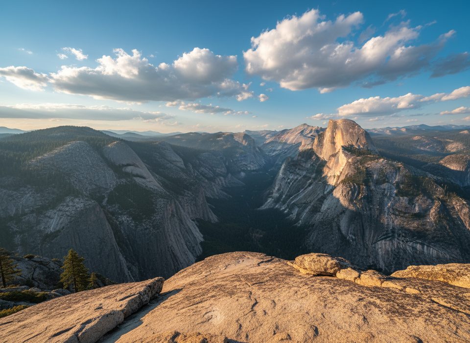
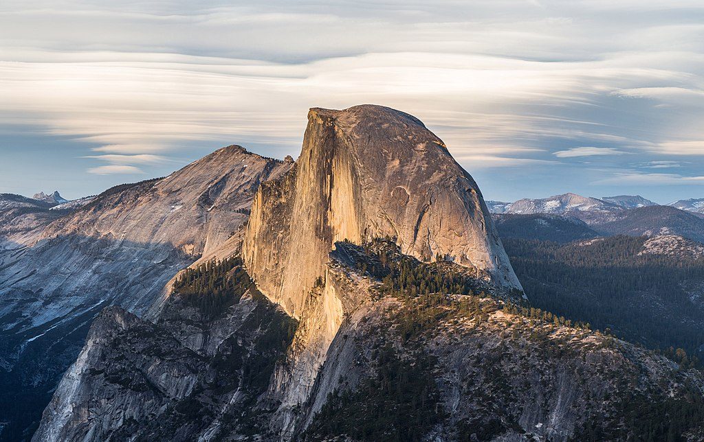
Panorama Point is an unofficial, unmarked viewpoint just off the Panorama Trail that dishes up the kind of grand Yosemite views you came for—Half Dome, the valley, and big granite walls from a fresh angle. It’s not an established overlook with railings or signs; think of it as a locals’ secret tucked along a world-class route.
Most hikers reach this area by starting at Glacier Point and heading down the Panorama Trail. Cross the Illilouette Creek bridge, then continue about 0.5 miles. Watch for a faint, unmarked spur to the left through low brush that leads to the cliffy viewpoint. It’s easy to walk past—if the trail begins climbing steadily and you haven’t seen an obvious view spur, backtrack a bit and scan left carefully. Use extreme caution near the edges.
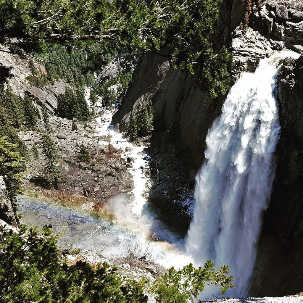
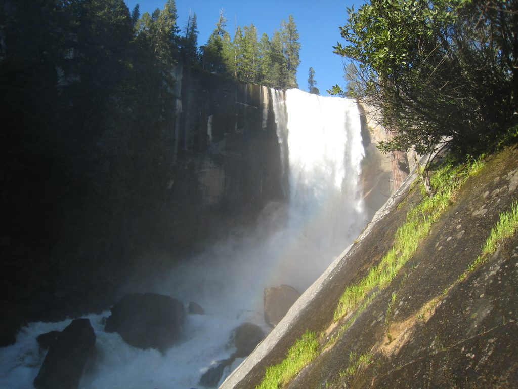
From the point, you’ll snag striking perspectives of Half Dome, Glacier Point, Royal Arches, and North Dome, plus a broad sweep of Yosemite Valley. Along the larger Panorama Trail corridor, you’ll have line-of-sight to Illilouette, Nevada, and Vernal Falls—making this detour a highlight within an already stacked hike.
There are no facilities or water at Panorama Point itself. Toilets and services exist at Glacier Point and near Happy Isles; there are also trail toilets above Nevada Fall, above Vernal Fall, and at the Vernal Fall footbridge. There’s no free shuttle between Glacier Point and Yosemite Valley; a paid bus typically operates seasonally and is the go-to for setting up the one-way Glacier Point-to-Valley day.
Expect mostly downhill travel from Glacier Point with a stout climb after Illilouette Creek before descending toward Nevada and Vernal. The Mist Trail can be steep, wet, and crowded; the John Muir Trail is longer but gentler. Wear real hiking footwear, carry plenty of water, and consider trekking poles. Stay well back from swift water and cliff edges.
Mule deer and a variety of birds are commonly seen along this corridor; hikers occasionally report fox and, more rarely, bears. Give all wildlife space and secure your snacks.
Summer through fall is prime, when Glacier Point Road (and the bus) typically run. Start early to beat heat and crowds, and to have calmer moments at the spur. Waterfalls roar in spring, but access to Glacier Point is often limited until road opening.
Make it the jewel stop on the Glacier Point–to–Happy Isles Panorama Trail, or link the Four Mile Trail up to Glacier Point and return via Panorama for a big, rewarding loop.
Place · 0.5 mi away
Place · 0.7 mi away
Place · 0.9 mi away
Place · 1 mi away
Easy · 1 mi away
Challenging · 1.2 mi away
Challenging · 1.2 mi away
Challenging · 1.2 mi away

Parkwolf Tour Guide
