
Place · 0.6 mi away
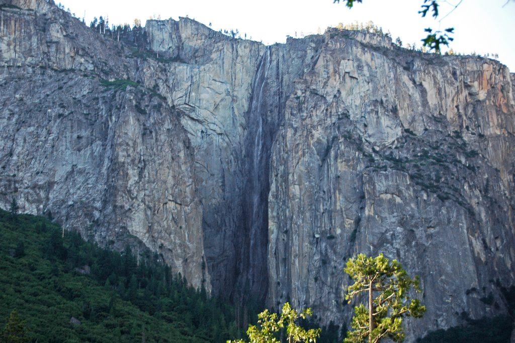
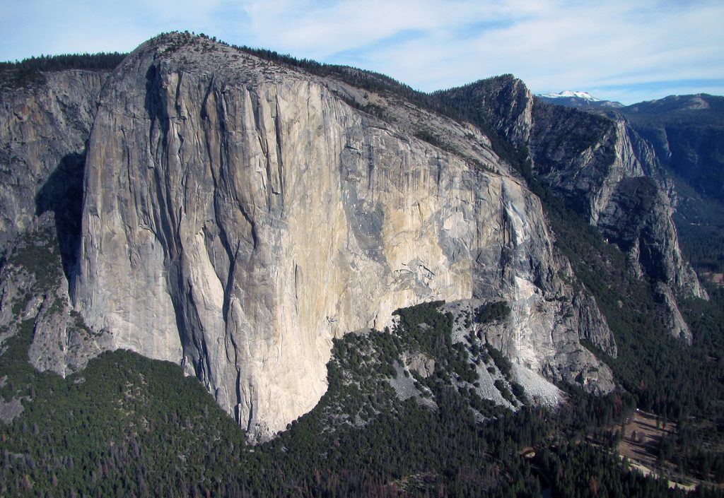
Ribbon Fall is Yosemite’s most delicate giant—a narrow thread of water plunging roughly 1,612 feet off the west side of El Capitan. It’s seasonal and snowmelt-fed, which means timing is everything. Catch it in peak spring and it’s spectacular; come too late and you may be staring at bare granite where a waterfall was just weeks earlier.
Spring is the sweet spot. Expect the most reliable flow from late March through late May (sometimes into June in heavy-snow years). By mid to late summer it often dwindles or dries up. Arrive early in the day during spring for better contrast and lighter crowds.
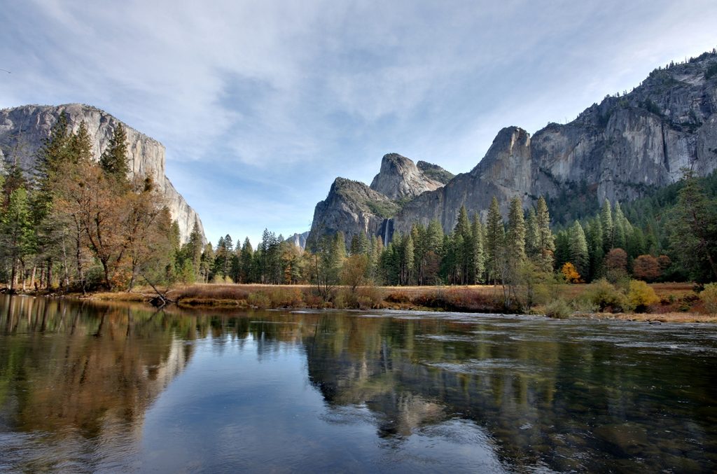
From the west end of the Valley, look to the north wall just west of El Capitan. Good drive-up viewpoints line the Valley roads, and many visitors spot it from the Bridalveil Fall area by looking across the Valley—just be aware that the slender stream can be easy to miss next to the park’s headline waterfalls.
There’s an informal, steep route that starts flat on the Valley Loop Trail and then climbs via the old Big Oak Flat Road. Plan for about 2.2 miles round-trip with roughly 1,154 feet of gain—short but punchy. Expect steep grades, potentially muddy sections in spring, and minor scrambling. The approach parallels Ribbon Creek and remains a pleasant outing even if the fall is low.
Parking is limited to a small roadside turnout on Northside Drive west of El Capitan (just a few vehicles). This is not an official, signed trailhead, and you won’t find amenities here.
A classic hanging valley drop carved by ancient glaciers creates Ribbon Fall’s dramatic single plunge. In peak flow it lives up to its name: a long, slender silver ribbon against dark granite. Outside that spring window it can look faint—or vanish entirely.
The fall’s height and thin profile make a zoom/telephoto lens your best friend for distant compositions. In spring, arriving early improves contrast on the cliff and helps beat any roadside pullout crowds.
Wildlife specifics aren’t a highlight here, but the surrounding Sierra setting brings hardy pines and seasonal wildflowers along the creek corridor in spring.
There are no toilets or potable water at the turnout or along the informal route—plan accordingly. The path can be muddy, bugs can be bothersome in spring, and cell service is generally unreliable. If you scramble near the base in peak flow, expect cold, heavy mist and slick rock; waterproof layers help, and keep a conservative buffer from the plunge pool.
The surrounding cliffs host serious rock climbing routes; if that’s your goal, be mindful of any permit needs and seasonal nesting closures.
Place · 0.6 mi away
Place · 1.1 mi away
Place · 1.1 mi away
Place · 1.2 mi away
Easy · 1.3 mi away
Challenging · 2.1 mi away
Easy · 2.1 mi away
Challenging · 2.5 mi away

Parkwolf Tour Guide
