
Place · 0 mi away
Easy
This is the easiest big view in the park’s high country: a very short, easy out-and-back to a fenced overlook on the Kolob Terrace. Reported round-trip distances vary from roughly 0.1–0.6 miles depending on where you park; plan on about 0.3 miles total with negligible elevation gain. It’s family-friendly and quick, but the payoff is huge—sweeping mesa-top perspectives that feel completely different from the main canyon.
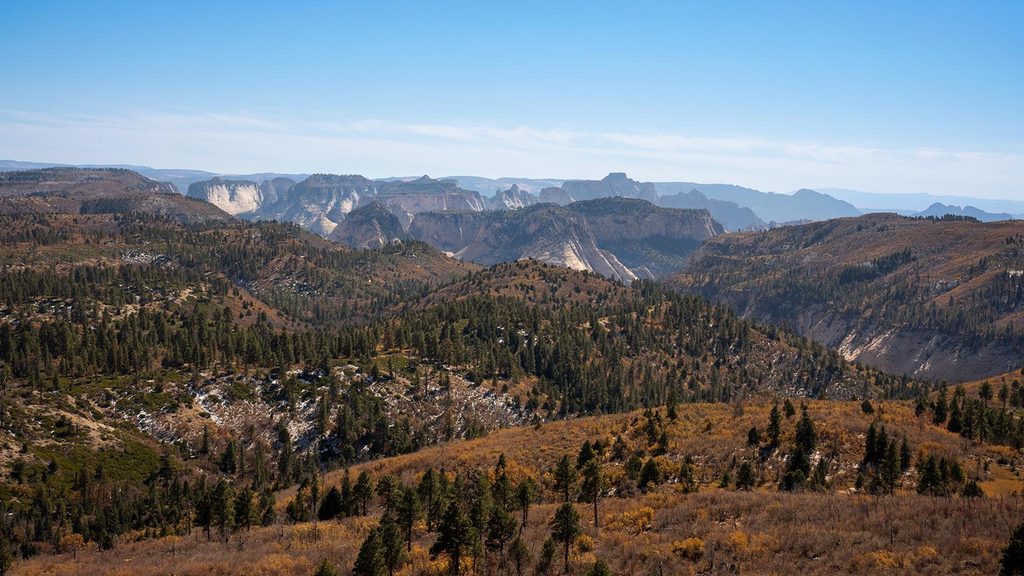
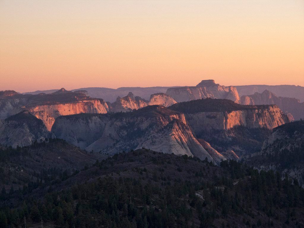
From the overlook, you’ll peer across sculpted canyons, mesas, and the high plateau that forms Zion’s “upper terrace.” At nearly 7,900 feet, you’re looking down on country most visitors only see from the canyon floor. The high-country forest here features ponderosa pine and aspen, and you may spot deer and birdlife on the short approach. Sunsets are especially good—expect rich color and long shadows that bring out the textures in the rock.
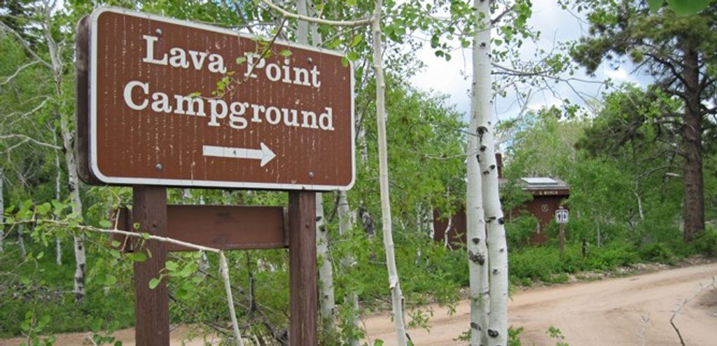
The trail starts by the Lava Point Campground and picnic area, reached via a signed spur off Kolob Terrace Road. Parking is limited near the overlook; if you park by the campground/picnic area, your walk will be on the longer end of that 0.1–0.6 mile range. Facilities are primitive (pit toilets); there’s no potable water, so bring your own. No permit is needed for the overlook, and pets are not allowed on this trail.
Late spring through fall is the sweet spot. Snow and winter conditions can close the spur road and parts of Kolob Terrace Road outside the warm season. Even in summer, this high elevation runs cooler and windier than the main canyon, which makes golden-hour visits comfortable and photogenic. Arrive for sunset on clear days; mornings can be crisp and quiet.
If you’re chasing a short, low-effort viewpoint, this is a great call—just know it’s more of a scenic stop than a “hike.” If you want a deeper day out from the same area, Lava Point is a classic trailhead for the West Rim; that longer route is challenging, often requires shuttle logistics, and has limited cell service. For different short-hike scenery, some travelers prefer exploring the Kolob Canyons section’s trails and scenic drive.
Road closures after storms or in winter are common—check conditions before you go. There’s exposure at the rim; stay behind railings and keep kids close. Summer monsoon storms can roll in fast; bring a layer and be ready to retreat. No water on site; pack what you need.
Park at the signed Lava Point Overlook or at the adjacent Lava Point Campground/picnic area off Kolob Terrace Road; limited spaces near the overlook.
Seasonal road closures; no potable water; cooler, windier conditions at ~7,900 ft; exposed rim—stay behind railings.
Place · 0 mi away
Place · 0.2 mi away
Place · 4.5 mi away
Place · 5.3 mi away
Easy · 4 mi away
Moderate · 4 mi away
Moderate · 5.5 mi away
Challenging · 7.8 mi away

Parkwolf Tour Guide
