Parking
Use the Hop Valley Trailhead on Kolob Terrace Road. There is a pit toilet, but no water refill station.

Zion National Park, UT
A long, sandy walk through Zion’s open sandstone canyon.
Overview
Map & elevation
Plan your hike

The highest, rockiest slopes around here are a summer buffet for grizzly bears.
Zion Tour Guide
Parkwolf is a GPS audio tour guide for Zion National Park. As you drive, it chimes in with what’s ahead: hidden gems, upcoming stops, history, geology, and wildlife, right through your car’s speakers.
See the Zion audio tourRecorded for this trailhead
Hop Valley Trailhead“Up ahead is Hop Valley Trailhead, the start of a long walk into a broad valley beneath tall sandstone walls. The full round trip to La Verkin Creek junction is thirteen miles and takes six to eight hours.”
Plays as you drive up to this trailhead in the Parkwolf Zion Tour Guide.
More stories near here in the app
“Fantastic app with many points of information… It’s great to just turn on while you’re driving and it gives you an audio tour of the national Park. We love it!!!!”


Trail guide
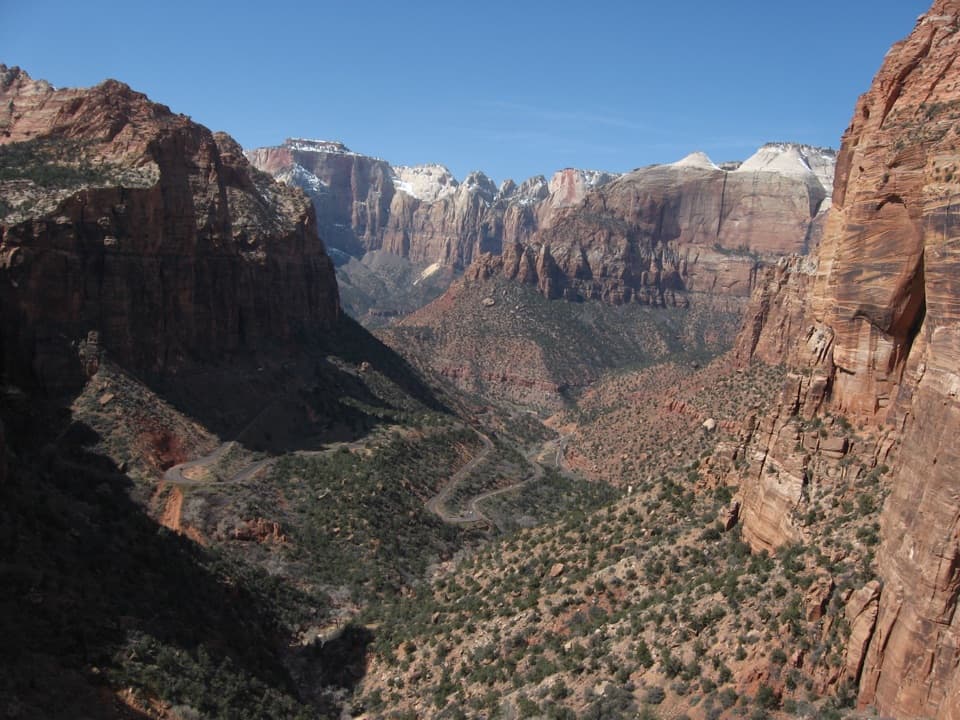
Hop Valley Trail is a 13.0-mile out-and-back from Hop Valley Trailhead to La Verkin Creek junction and back. It crosses open fields, then a broad, sandy canyon floor enclosed by tall sandstone walls before climbing through forest to an overlook. This is a hard full-day walk, not a quick scenic stroll: allow 6 to 8 hours. The valley is the payoff, and you can leave the longer Kolob Arch extension for another day.
The trail starts across open country with broad red-rock views, then winds through pinyon and juniper. About 1.5 miles in, you reach a ranch gate; close it behind you. This is a public route across private ranch land, so stay on the trail and respect the fences. Around mile 3, the path drops into Hop Valley, where very sandy ground, low brush and a meandering creek sit beneath high sandstone walls. Cattle use this valley, and the trail crosses the creek several times.
Near Campsite A, the main trail leaves the creek bed and climbs on its west side. Dry channels and old animal tracks can look tempting, but they may lead to a dead end. Follow the established path. Farther north, another gate marks the end of the ranch inholdings. The designated campsites sit in trees near the boundary; overnight stays need a Zion wilderness permit and must use designated sites.
The route climbs through forest to a rounded stone outcrop with views toward Gregory Butte and the Kolob formations, then drops steeply to La Verkin Creek. Turn around at the junction for this 13-mile version. Continuing to Kolob Arch means adding La Verkin Creek Trail and the arch spur, which is a longer hike with a different distance. On the return, expect the sandy valley floor and about 1,050 feet of climbing back toward the trailhead.
Soft sand makes the miles slower than the map suggests, while the open valley has little continuous shade. Start early in warmer weather and bring your full water supply: there is no refill station at the trailhead, and cattle in the valley mean you shouldn't count on untreated creek water. Multiple crossings can vary with conditions. Dogs aren't allowed. Winter snow can linger into early spring, so check access before driving Kolob Terrace Road.
On the valley floor, include a little of the path and low brush in the foreground so the sandstone walls feel as tall as they are. From the rounded outcrop near the north end, look back down the valley for the long view between the cliffs.
Wildlife
 291 sightingsCalifornia CondorMost seen around 11 AMSighting map
 350 sightingsBighorn SheepMost seen around 7 AMSighting map
 22 sightingsMountain LionMost seen around 7 PMSighting map
 1,326 sightingsMule DeerMost seen around 6 AMSighting map
 23 sightingsGolden EagleMost seen around 10 AMSighting map
 15 sightingsPeregrine FalconMost seen around 7 AMSighting map
Sighting maps show where each species has been reported across Zion. Wildlife moves, so no sighting is guaranteed.
Keep exploring
 ModerateConnector Trail5.1 mi · 2.5 hr · At the trailheadOpen meadows and slickrock connect two Kolob trailheads.
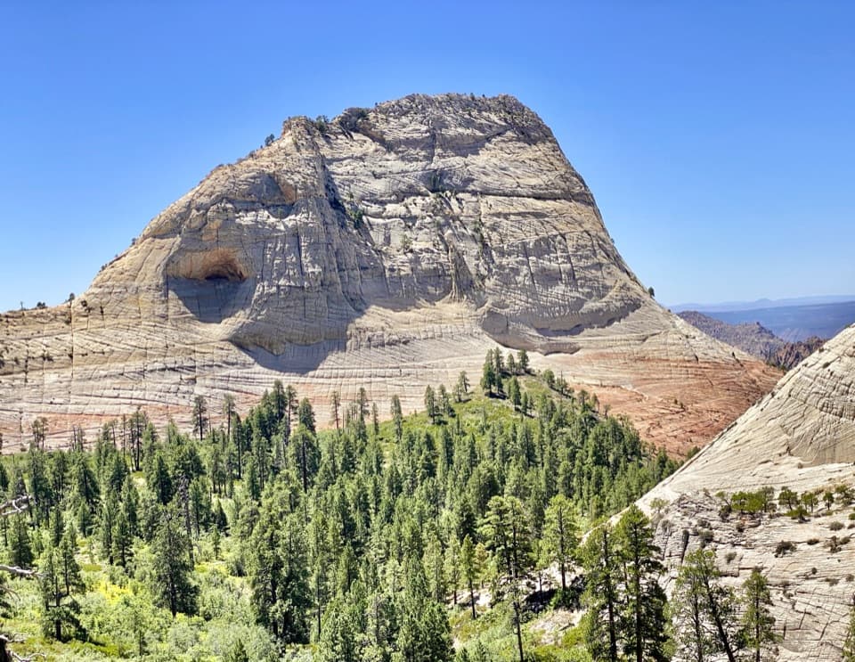 EasyNorthgate Peaks Trail4.2 mi · 2.5 hr · 2.1 mi awayA forest walk to a volcanic-rock perch above Great West Canyon.
 ModerateWildcat Canyon Trail11.6 mi · 6 hr · 2.1 mi awayPine forest and open meadows lead to a broad canyon crossing.
 ChallengingLeft Fork (Subway) Bottom-Up9 mi · 8 hr · 4 mi awayA demanding creek scramble to Zion’s sculpted sandstone slot.
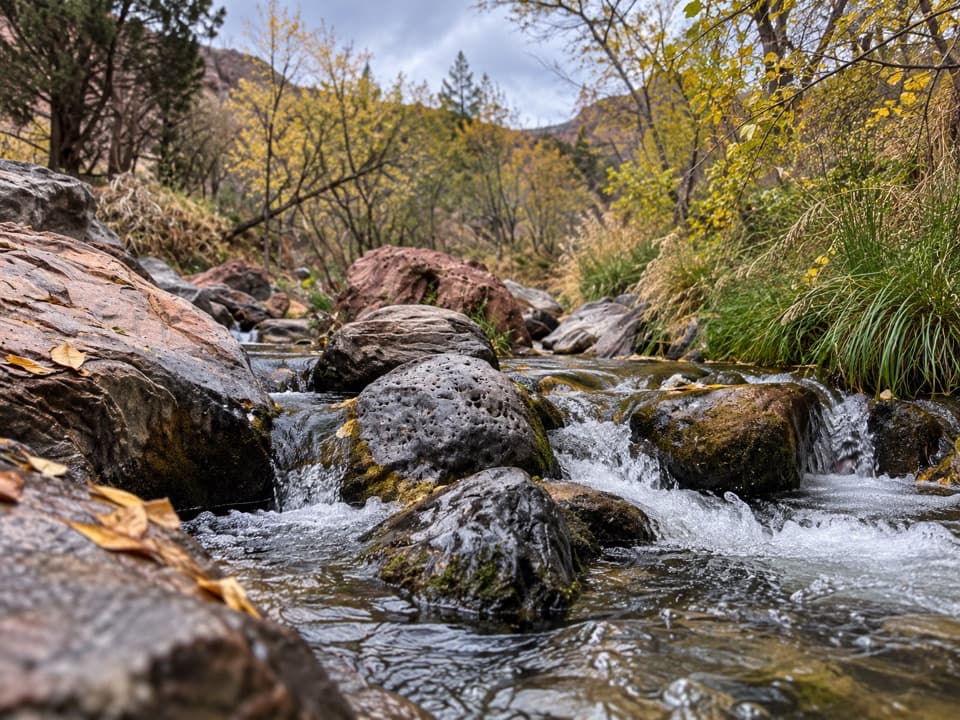 ModerateGrapevine Trail1.5 mi · 1.5 hr · 4.6 mi awayLoose lava tread drops to a bench above the Left Fork.
 ChallengingRight Fork of North Creek to Double Falls11.1 mi · 10.5 hr · 4.8 mi awayA long creek hike ends at a waterfall you can walk behind.
 ChallengingWest Rim Trail (Top-Down)14.6 mi · 10.5 hr · 5.7 mi awayCross high plateau country before dropping into Zion Canyon.
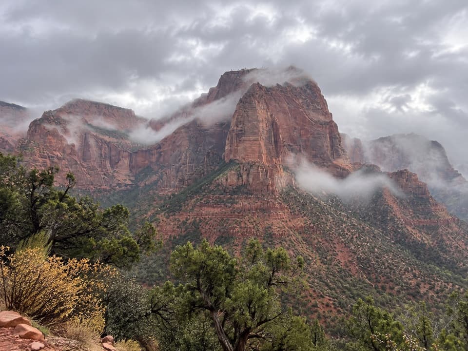 EasyTimber Creek Overlook Trail1.2 mi · 45 min · 8.2 mi awayShort ridge, red cliffs, and a long look toward Pine Valley.
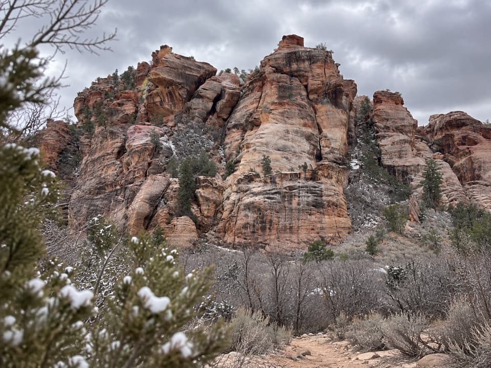 Sight · 2.1 mi awayLambs Knoll Climbing SiteA sandstone crag with a short, exposed scramble to its high point.
 Campground · 5.3 mi awayLava Point CampgroundSix tent sites on Zion's high, remote Kolob Terrace.
 Sight · 5.5 mi awayLava Point OverlookA long detour for a quieter, high-country panorama.
 Sight · 6.1 mi awayKolob ArchA full-day canyon hike to an arch you see from afar.
 Sight · 7.9 mi awayTimber Creek OverlookA rocky ridge walk to Kolob’s wide southern horizon.
 Sight · 8.2 mi awayKolob Canyons ViewpointA five-mile drive earns a sweeping view of red finger canyons.
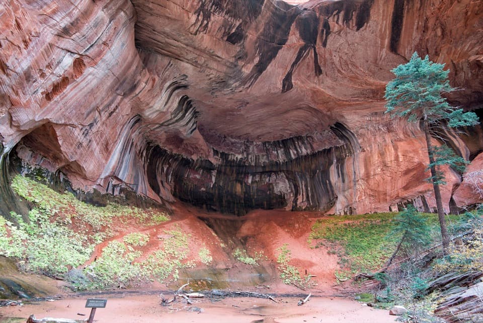 Sight · 8.5 mi awayDouble Arch AlcoveA streaked sandstone alcove caps a creek-crossing hike.
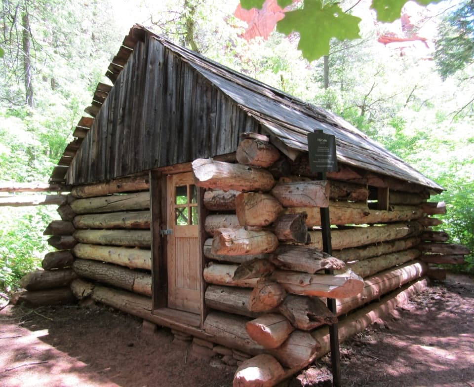 Sight · 8.8 mi awayFife CabinA small 1930s homestead gives the creek hike a human story.
Parkwolf’s Zion ranking

The audio tour guide for the drive, plus offline maps, trails, and wildlife heatmaps for when the signal drops.