Parking
Wildcat Canyon Trailhead on Kolob Terrace Road. A pit toilet is available at the trailhead; there is no water-filling station.
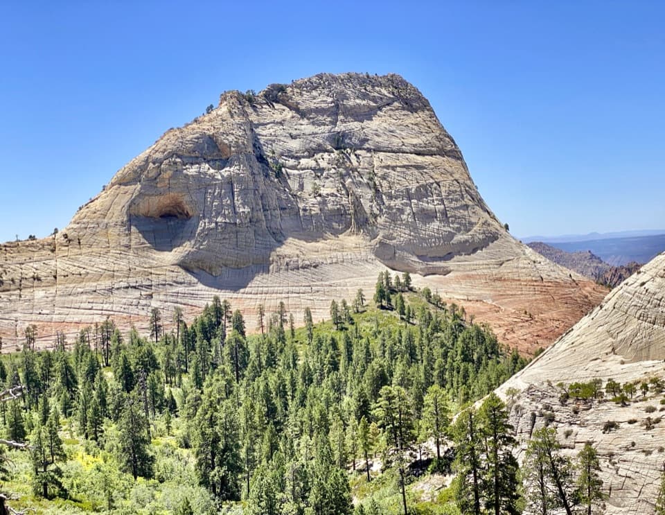
Zion National Park, UT
A forest walk to a volcanic-rock perch above Great West Canyon.
Overview
Map & elevation
Plan your hike

The highest, rockiest slopes around here are a summer buffet for grizzly bears.
Zion Tour Guide
Parkwolf is a GPS audio tour guide for Zion National Park. As you drive, it chimes in with what’s ahead: hidden gems, upcoming stops, history, geology, and wildlife, right through your car’s speakers.
See the Zion audio tourRecorded for this trailhead
Wildcat Canyon Trailhead and Northgate Peaks“You're approaching Wildcat Canyon Trailhead, where I'd choose Northgate Peaks for a gentle forest walk with a canyon view at the end.”
Plays as you drive up to this trailhead in the Parkwolf Zion Tour Guide.
More stories near here in the app
“Fantastic app with many points of information… It’s great to just turn on while you’re driving and it gives you an audio tour of the national Park. We love it!!!!”


Trail guide
Northgate Peaks Trail is a 4.2-mile out-and-back from Wildcat Canyon Trailhead to a rocky overlook on Zion’s high plateau. It follows Wildcat Canyon Trail for the approach, then branches south on the Northgate spur; the mapped corridor is about 2.1 miles each way. The route gains only about 100 feet, so it is an easy hike if you are comfortable with the distance. Allow two to three hours with time to look around. The destination is the viewpoint, not a climb of either peak.
From Wildcat Canyon Trailhead, head east on Wildcat Canyon Trail. After about 1.2 miles, pass the Connector Trail junction and turn right onto Northgate Peaks Trail. The dirt singletrack continues south through ponderosa pine, aspen and mixed-conifer forest, with open woodland and meadow sections. Keep track of that turn: Wildcat Canyon continues beyond it toward its own canyon and the West Rim, while Northgate Peaks is the spur to the overlook.
The trail ends at a jumble of dark volcanic boulders between rounded East and West Northgate Peaks. From the rocky perch, look toward North Guardian Angel, across Great West Canyon and down toward The Subway. The high plateau feels far removed from the park’s busier canyon floor. For a photo, use the dark rocks in the foreground and frame North Guardian Angel beyond the pine basin. Climbing either Northgate Peak is a separate scramble and is not part of this route.
Wildcat Canyon Trailhead is on Kolob Terrace Road. There is a pit toilet at the trailhead but no water-filling station, so bring what you need. Pets are not allowed on this trail. Zion’s Kolob Terrace trails are best in late spring through fall; deep winter snow can linger until late spring, so check road and trail access before driving up.
Wildlife
 291 sightingsCalifornia CondorMost seen around 11 AMSighting map
 350 sightingsBighorn SheepMost seen around 7 AMSighting map
 22 sightingsMountain LionMost seen around 7 PMSighting map
 1,326 sightingsMule DeerMost seen around 6 AMSighting map
 23 sightingsGolden EagleMost seen around 10 AMSighting map
 15 sightingsPeregrine FalconMost seen around 7 AMSighting map
Sighting maps show where each species has been reported across Zion. Wildlife moves, so no sighting is guaranteed.
Keep exploring
 ModerateWildcat Canyon Trail11.6 mi · 6 hr · At the trailheadPine forest and open meadows lead to a broad canyon crossing.
 ChallengingHop Valley Trail13 mi · 7 hr · 2.1 mi awayA long, sandy walk through Zion’s open sandstone canyon.
 ModerateConnector Trail5.1 mi · 2.5 hr · 2.1 mi awayOpen meadows and slickrock connect two Kolob trailheads.
 ChallengingLeft Fork (Subway) Bottom-Up9 mi · 8 hr · 4 mi awayA demanding creek scramble to Zion’s sculpted sandstone slot.
 ChallengingWest Rim Trail (Top-Down)14.6 mi · 10.5 hr · 4.1 mi awayCross high plateau country before dropping into Zion Canyon.
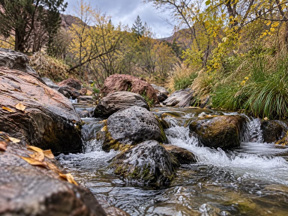 ModerateGrapevine Trail1.5 mi · 1.5 hr · 4.7 mi awayLoose lava tread drops to a bench above the Left Fork.
 ChallengingRight Fork of North Creek to Double Falls11.1 mi · 10.5 hr · 5 mi awayA long creek hike ends at a waterfall you can walk behind.
 ChallengingThe Narrows from the Bottom Up9.4 mi · 7 hr · 8 mi awayWade the Virgin River through a slot canyon to Big Spring.
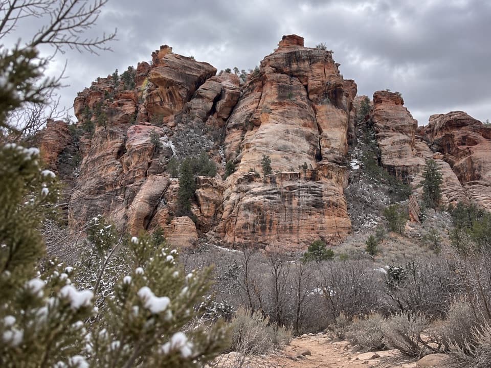 Sight · 2.7 mi awayLambs Knoll Climbing SiteA sandstone crag with a short, exposed scramble to its high point.
 Campground · 3.9 mi awayLava Point CampgroundSix tent sites on Zion's high, remote Kolob Terrace.
 Sight · 4 mi awayLava Point OverlookA long detour for a quieter, high-country panorama.
 Sight · 7.1 mi awayKolob ArchA full-day canyon hike to an arch you see from afar.
 Sight · 8 mi awayTemple of SinawavaThe Virgin River opens into a natural sandstone amphitheater.
 Sight · 8.2 mi awayScout LookoutA natural turnaround for Zion Canyon views before Angels Landing.
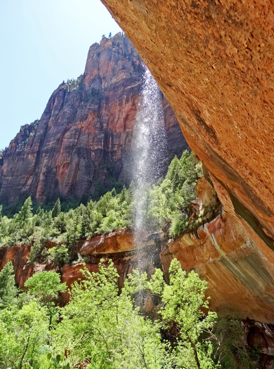 Sight · 8.4 mi awayEmerald PoolsThree cliffside pools, with seasonal falls and a steeper upper climb.
 Sight · 8.5 mi awayBig BendBig Bend frames the Great White Throne above the Virgin River.
Parkwolf’s Zion ranking

The audio tour guide for the drive, plus offline maps, trails, and wildlife heatmaps for when the signal drops.


